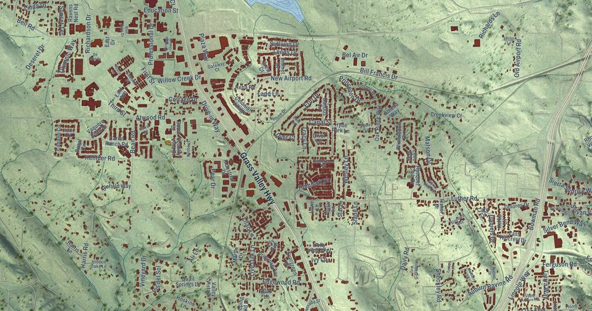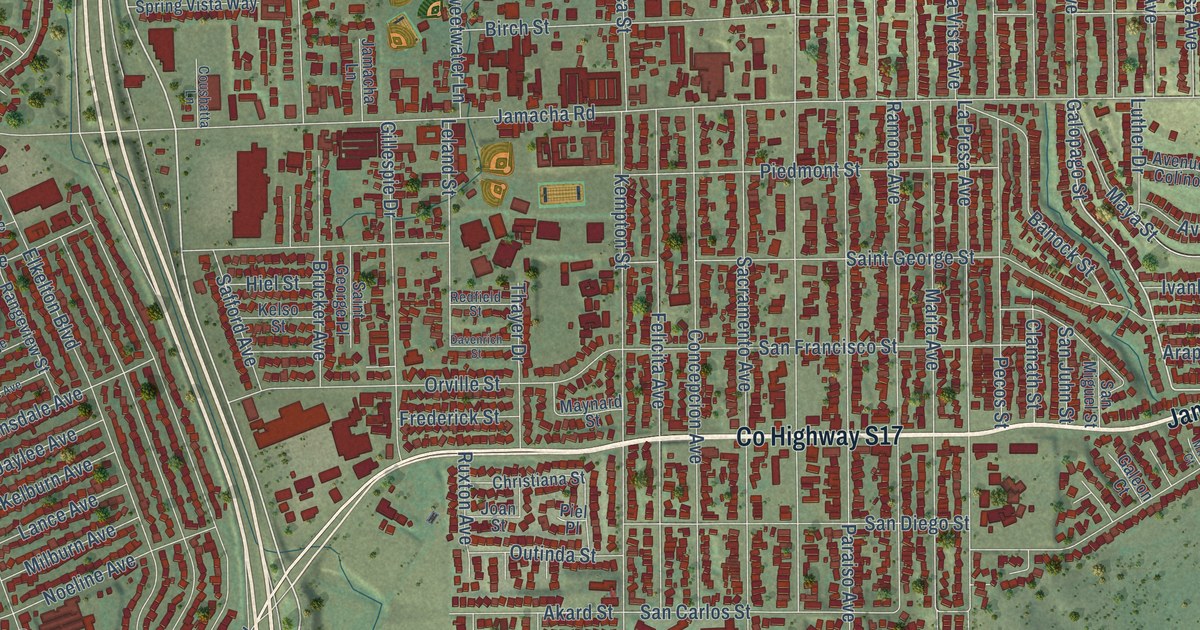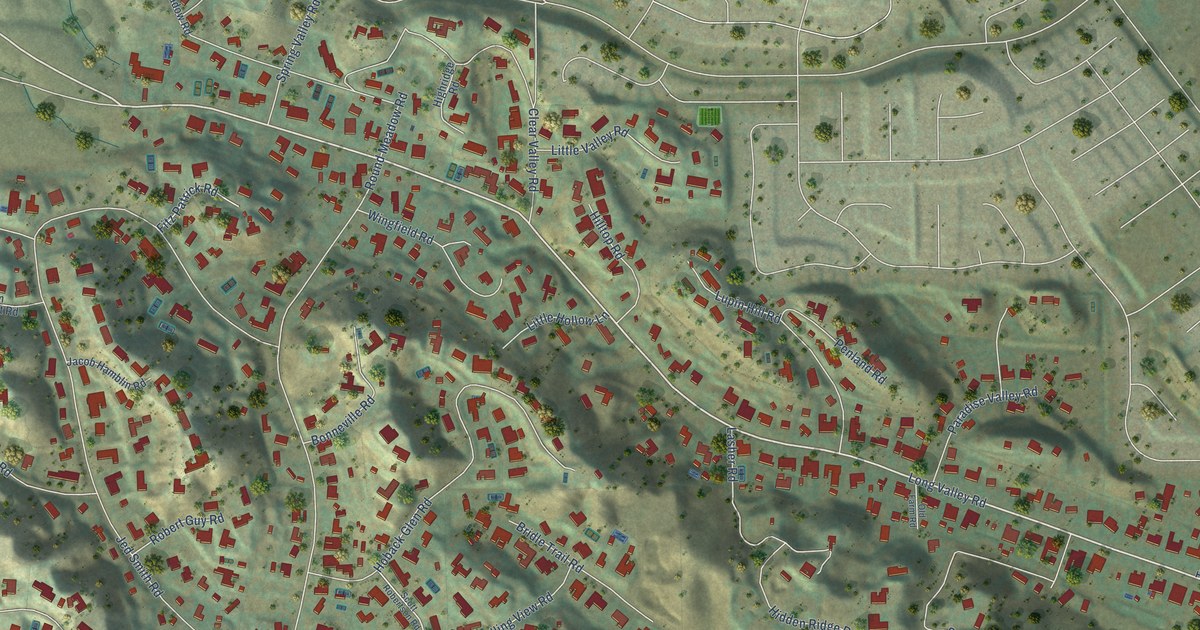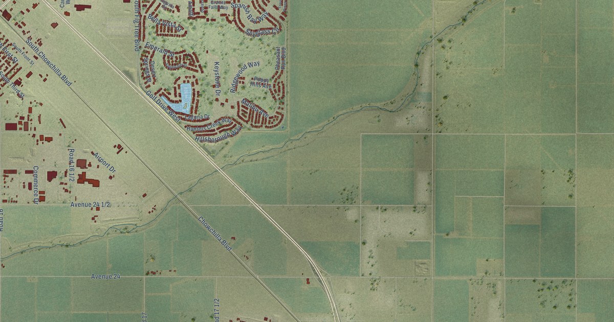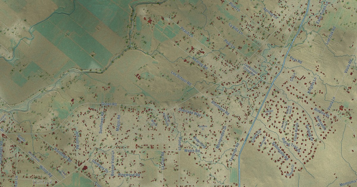
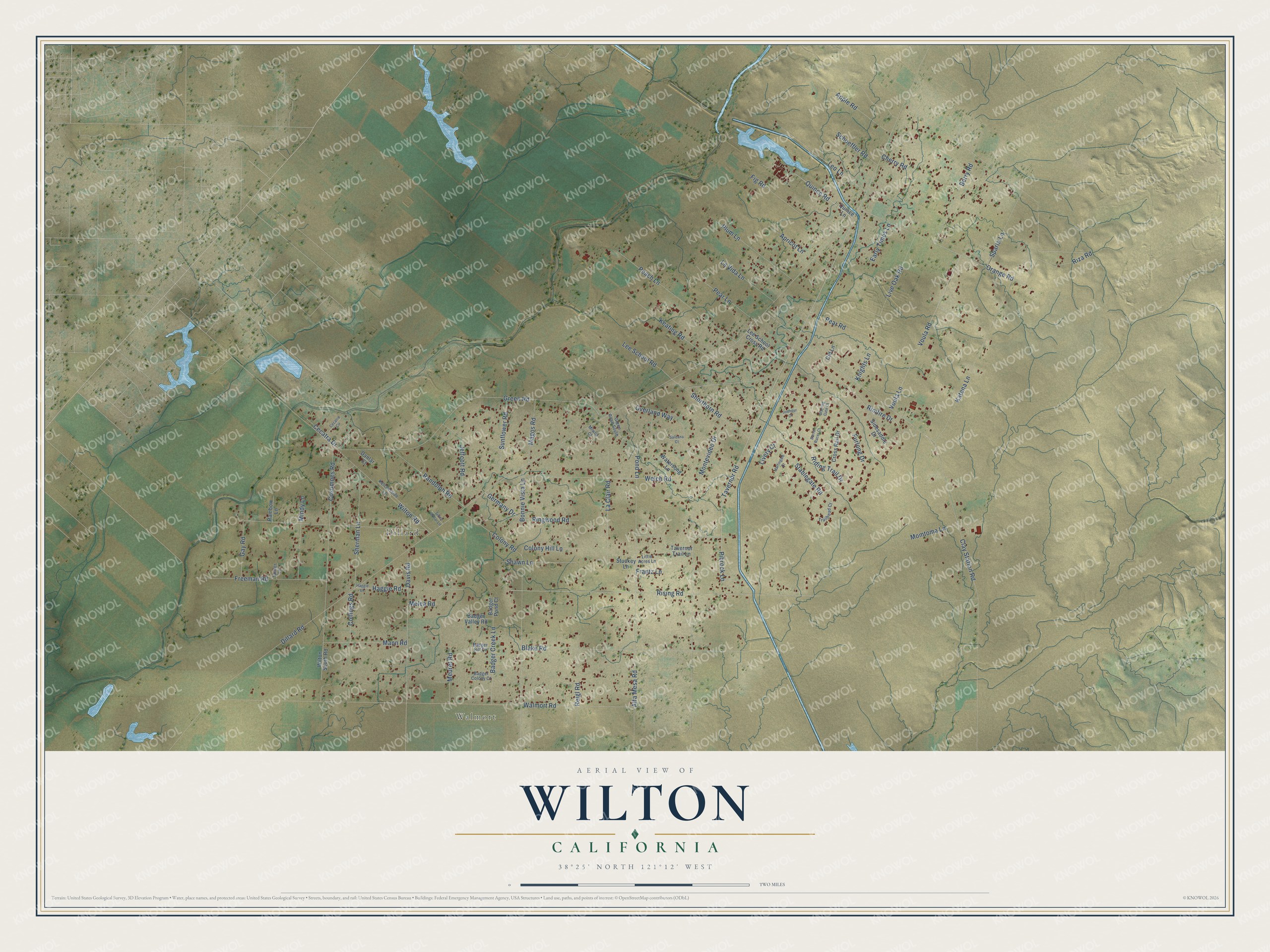
This beautifully detailed map of Wilton, California was created in 2026 using aerial imagery combined with modern topographical, census, street and landmark data. It's a modern aerial view of Wilton in Sacramento County, California, that combines modern data with a vintage aesthetic. The roads feature printed names, and if you look closely you can find your exact house accurately shown in its correct location.
Explore an aerial view of Wilton, California
On this map you'll find Walmort, Dillard, Tavernor Road, Alta Mesa Road, La Clair Road, Quince Road, Clay Station Road, Rising Road, Riza Road, Dillard Road, Walmort Road, Stablegate Road, and more. Each red shape is a building, so zoom in on the preview and look for yours.
Wilton has a story worth telling. The National Park Service puts it this way: "In 1917, the Alta Mesa Farm Bureau was organized and purchased the building from the local individuals who had financed the original building project."
Wilton is a community in Sacramento County. The Census Bureau counted 5,958 people here in 2020.
Take a closer look at the Wilton map
Names on this map
These names are printed on this map.
Places: Walmort and Dillard.
Streets and roads: Tavernor Road, Alta Mesa Road, La Clair Road, Quince Road, Clay Station Road, Rising Road, Riza Road, Dillard Road, Walmort Road, Stablegate Road, Green Road, Blake Road.
More street names, A to Z
Apple Road, Apricot Lane, Badger Colony Court, Badger Creek Lane, Badger Hill Court, Badger Pond Court, Badger Valley Road, Barrel Racer Court, Berry Road, Bonnie Vista Lane, Cecatra Circle, Cecatra Drive, Cherry Road, Cid Lane, Collings Road, Colony Hill Lane, Colony Road, Cosumnes Road, Cross Rail Drive, Danlar Court, Davis Road, Early Times Lane, Fig Road, Frantz Lane, Freeman Road, Furlong Drive, Gay Road, Germany Drive, Green Road South, Haggie Lane, Haggie Road, Jeffcott Road, Jodhpur Court, Katena Lane, Keating Road, Ketcherside Lane, Knights Lane, La Vida Lane, Lee School Cross Road, Lee School Road, Leo Lane, Little Acres Lane, Live Oak Road, Livery Court, Magos Road, Mann Road, Martingale Court, Melea Road, Meuret Road, Mindy Lane, Miwok Court, Momtoma Lane, Montevideo Drive, Orange Road, Overland Way, Peach Lane, Pear Lane, Pear Road, Pibrock Lane, Plum Lane, Pond Lane, Quince Lane, Rainbow Lane, Randolph Road, Reigl Road, Riding Trail Drive, Rimfire Drive, Ringwood Road, Saldana Court, Schoeffler Road, Shawn Lane, Sherman Lane, Shorthorn Road, Sidesaddle Drive, Silver Dollar Lane, Sparta Lane, Starting Gate Court, Stuckey Lane, Sunflower Road, Tanner Lane, Tavernor Trail Lane, Trailhead Court, Voula Lane, Voula Road, Watersong Lane, Welch Road, Wilton Road, Wilton South Road.
Created by KNOWOL in 2026. The buildings are small red shapes, the roads carry their printed names, and shaded relief shows the shape of the land. The title panel reads "AERIAL VIEW OF WILTON CALIFORNIA" with 38°25' NORTH 121°12' WEST.
It looks right in a kitchen, an office or a den, and it's a gift for anyone who grew up in Wilton or moved away. Open the preview and find your street. See sizes and frames for the Wilton map.