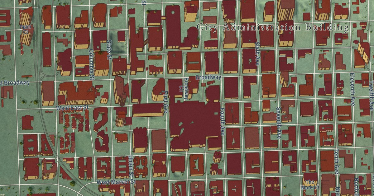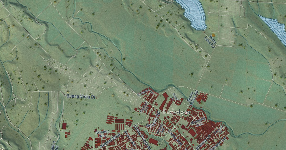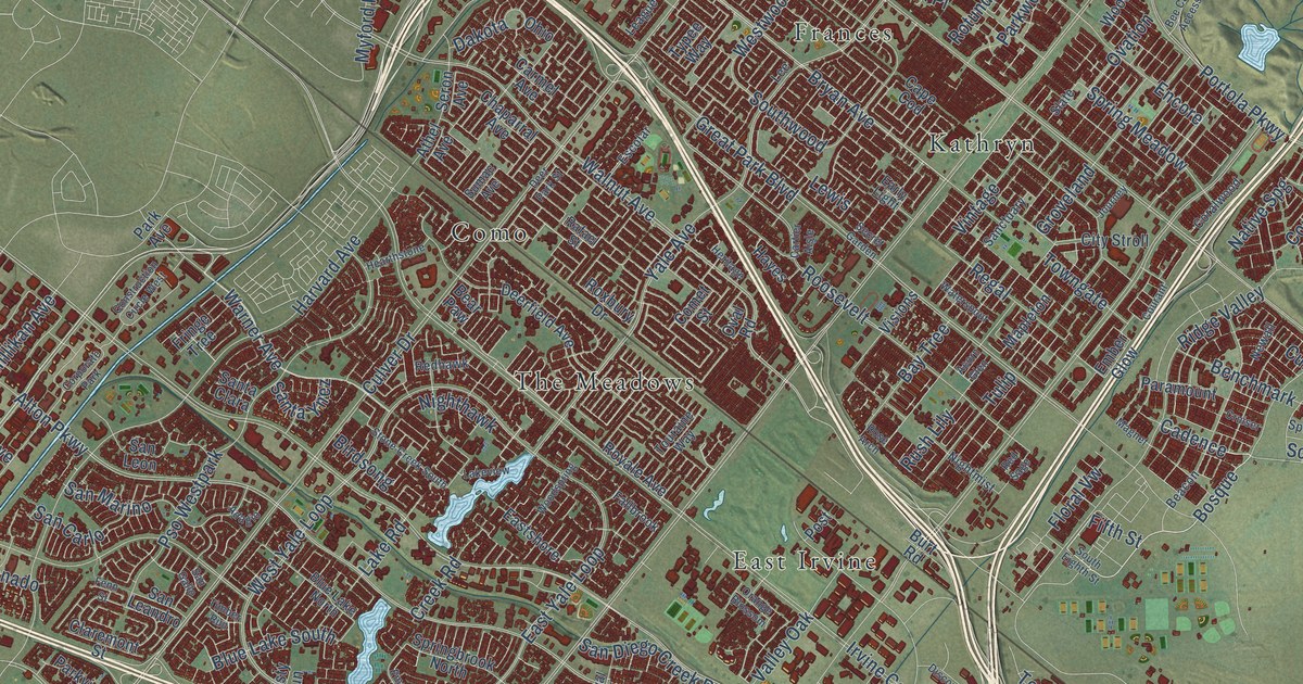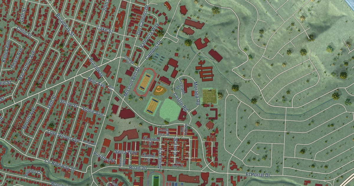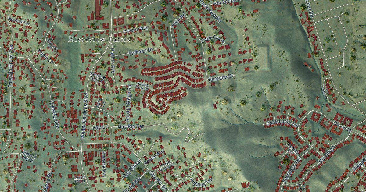
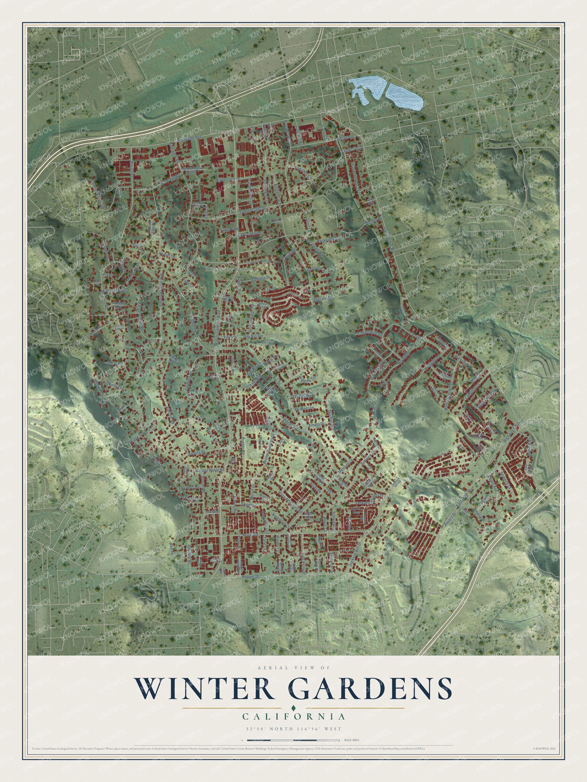
This beautifully detailed map of Winter Gardens, California was created in 2026 using aerial imagery combined with modern topographical, census, street and landmark data. It's a modern aerial view of Winter Gardens in San Diego County, California, that combines modern data with a vintage aesthetic. The roads feature printed names, and if you look closely you can find your exact house accurately shown in its correct location.
Explore an aerial view of Winter Gardens, California
On this map you'll find Glenview, Lakeside, Riverview, Riverview Farms, Winter Gardens Boulevard, Gay Rio Drive, Los Coches Road, Woodside Avenue, Golden Ridge Road, Single Oak Drive, Lemon Crest Drive, Pepper Drive, and more. Each red shape is a building, so zoom in on the preview and look for yours.
Winter Gardens is a community in San Diego County. The Census Bureau counted 22,380 people here in 2020. The map prints the town name in its title panel, with the coordinates below it.
Take a closer look at the Winter Gardens map
Names on this map
These names are printed on this map.
Places: Glenview, Lakeside, Riverview and Riverview Farms.
Streets and roads: Winter Gardens Boulevard, Gay Rio Drive, Los Coches Road, Woodside Avenue, Golden Ridge Road, Single Oak Drive, Lemon Crest Drive, Pepper Drive, Riverview Avenue, Royal Road, Emerald Grove Avenue, Highway 8 Bus.
More street names, A to Z
Almond Joy Court, Almond Road, Alpine Lane, Altadena Road, Amato Drive, Amelia Drive, Amy Way, Aurora Drive, Burkshire Place, Cactus Street, Cajon Road, Calle Lucia Terrace, Castle Brook Court, Castle Court Drive, Channel Road, Cherry Road, Christina Lane, Cimbria Way, Cll del Rio, Cll Lucia, Creekford Drive, Cuyamaca Vista Drive, Del Sol Road, East Main Street, Edie Lane, Emerald Hill Lane, Emerald Vista Drive, Erwin Lane, Fair Lane, Farmington Drive, Flaven Lane, Gardena Road, Gardena Way, Gay Rio Lane, Gay Rio Terrace, Gay Rio Way, Golden Circle, Green Garden Drive, Green Lane, Hay Court, Higgins Terrace, Hightop Terrace, Hillman Way, Hillvale Lane, Holsofar Road, Howard Avenue, Hunt Road, Jackson Heights Drive, Jackson Hill Drive, Jackson Hill Lane, Jackson Hill Road, Jalal Street, Janet Kay Way, Janet Lane, Jessica Lane, Jovic Road, Julian Avenue, Kardeelin Court, Karen Way, Katie Lane, Keemo Terrace, King Kelly Drive, Kingsford Court, Knoll Crest Place, Lacie Lane, La Donna Lane, Lamplite Lane, Laurel Lee Lane, Leyendekker Court, Lila Hill Lane, Linden Road, Linroe Drive, Los Coches Court, Marilla Drive, Mary Dean Lane, McWest Lane, Medallion Lane, Medill Avenue, Melrose Lane, Melrose Place, Merrill Drive, Merrill Place, Mountainview Hights, Northill Terrace, North Lane, North Peak Vista Drive, Ora Belle Lane, Orange Crest Drive, Orange Vista Lane, Orchard Road, Osage Trail, Palaie Road, Paradise Park Drive, Pepper Valley Lane, Prospect Avenue, Protea Drive, Pueblo Avenue, Pueblo Road, Quail Terrace, Ridgeton Court, Ridgeton Drive, Ridgeton Lane, Riverview Lane, Rockcrest Lane, Rockcrest Road, Rocket Ridge Road, Rocky Home Road, Rodeal Way, Rosey Road, Royal Circle, Royal Gardens Place, Royalito Lane, Royal Park Lane, Saddle Rock Road, Sage Shadow Drive, Saguaro Road, Sapota Drive, Serenity Court, Shalamar Drive, Shamrock Lane, Sherann Drive, Shir Mar Place, Short Street, Single Oak Place, Skylight Way, Sky Rim Drive, Stacy Street, Starland Drive, Starview Drive, Sterling Drive, Sterling Hill Lane, Sullivan Lane, Sunglow Drive, Sunrise Summit, Sunset Knolls Road, Sunset Lane, Sunset Road, Sunview Drive, Thistle Braes Terrace, Tone Lane, Topa Hill Circle, Triple Lane, Valhalla Drive, Vanguard Way, Via Diego, Via Diego Court, Via Diego Terrace, Vista del Cajon Road, Wade Way, Walnut Road, Waterhill Road, Wellington Hill Drive, Western Trails Drive, Westhill Lane, Westhill Road, Westhill Terrace, Westhill Vis, Westridge Place, Whittaker Lane, Wight Way, Wilder Way, Wintercrest Drive, Winter Gardens Drive, Winter View Place, Wonder Lane, Zeijl Lane.
Created by KNOWOL in 2026. The buildings are small red shapes, the roads carry their printed names, and shaded relief shows the shape of the land. The title panel reads "AERIAL VIEW OF WINTER GARDENS CALIFORNIA" with 32°50' NORTH 116°56' WEST.
It suits a den, a classroom or a front hall, and it makes a gift for anyone with Winter Gardens roots. Open the preview and find the block you know. See sizes and frames for the Winter Gardens map.