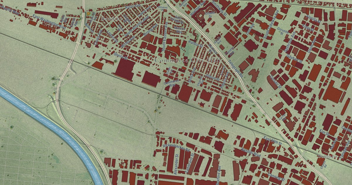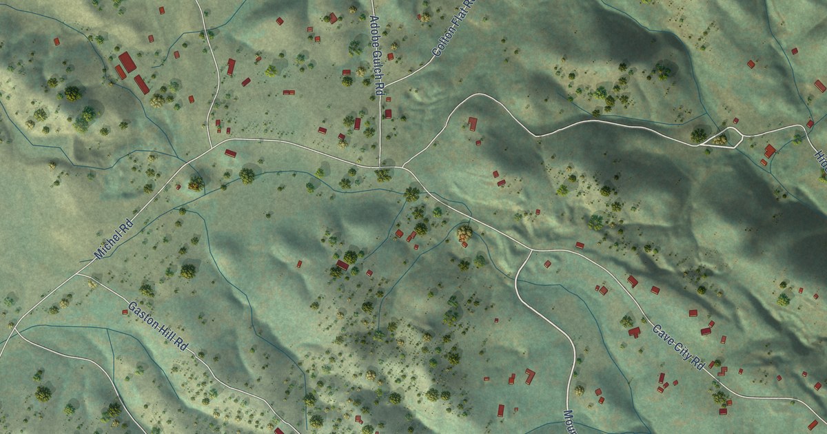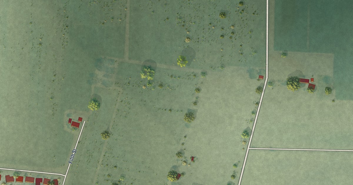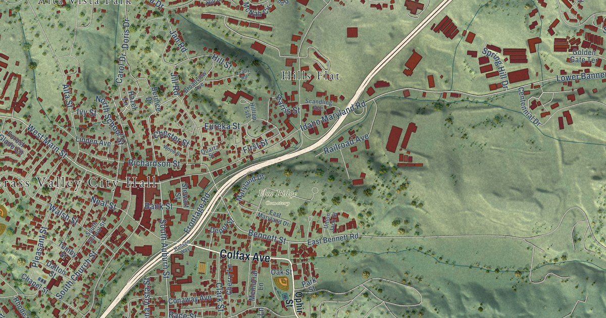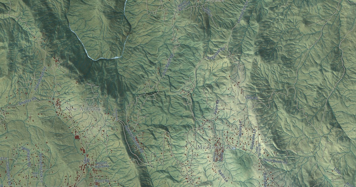
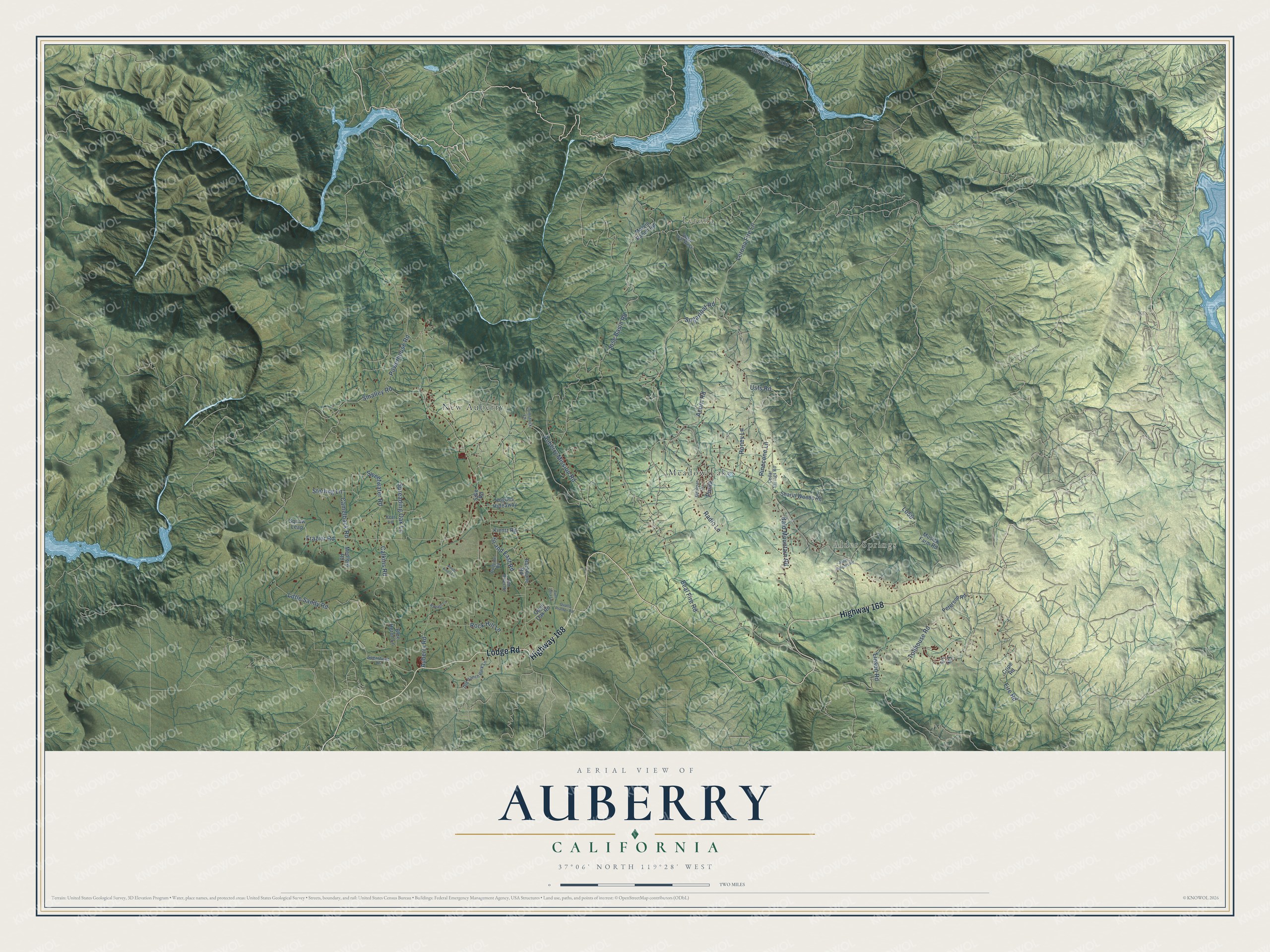
This beautifully detailed map of Auberry, California was created in 2026 using aerial imagery combined with modern topographical, census, street and landmark data. It's a modern aerial view of Auberry in Fresno County, California, that combines modern data with a vintage aesthetic. The roads feature printed names, and if you look closely you can find your exact house accurately shown in its correct location.
Explore an aerial view of Auberry, California
On this map you'll find Alder Springs, Lerona, New Auberry, Meadow Lakes, Highway 168, Lodge Road, Sugarloaf Road, Sterling Lane, Pinecone Lane, Lo56, Beal Fire Road, Auberry Road, and more. Each red shape is a building, so zoom in on the preview and look for yours.
Every town has a first chapter, and Auberry is no exception. Auberry got its name from Yarbrough, the name of an early settler. Passed along by word of mouth, it turned into Yah-bury and then Au-bury, and when locals organized a school district in 1876, the name was set down as Auberry. The Auberry band of Mono people, who have lived there for centuries, had their own, much older name for the place. That's from the KVPR public radio station.
Auberry is a community in Fresno County. The Census Bureau counted 3,238 people here in 2020.
Take a closer look at the Auberry map
Names on this map
These names are printed on this map.
Places: Alder Springs, Lerona, New Auberry and Meadow Lakes.
Streets and roads: Highway 168, Lodge Road, Sugarloaf Road, Sterling Lane, Pinecone Lane, Lo56, Beal Fire Road, Auberry Road, Jose Basin Road, Redinger Lake Road, Powerhouse Road, Acorn Road.
More street names, A to Z
Alder Heights Road, Auberry Mission Road, Aunt Julia Lane, Backbone Road, Bald Mountain Road, Blue Heron Lane, Bullpine Road, Calkins Road, Camelback Road, Cedar Springs Road, Comstock Lane, Cripe Road, Elk Lane, Fire Road, Frazier Road, Hogues Hideaway, Honey Lane, Kent Lane, Kientz Road, Knob Knoll Lane, Lerona Fire Lane, Linson Road, Little Sandy Road, Marvin Ranch Road, Medford Road, Merriman Lane, Musick Farm Road, Old Ranch Park Lane, Old River Road, Peterson Road, Puma, Quail Oak Road, Qualls Prather Road, Radio Lane, Raleigh Lane, Rock Hill Lane, Sharin Woods Road, Sj&e Road, Sj and East Road, Smalley Road, Spearhead Lane, Spreading Oak Lane, Sugar Loaf West, Sweetwater Road, Tollhouse Road, Usfs Road.
See it on a wall
The Auberry map as a framed print. Swipe for more.


Created by KNOWOL in 2026. The buildings are small red shapes, the roads carry their printed names, and shaded relief shows the shape of the land. The title panel reads "AERIAL VIEW OF AUBERRY, CALIFORNIA" with 37°06' NORTH 119°28' WEST.
Hang it in the hallway, the office or the cabin, or give it to someone who left Auberry and still calls it home. Open the preview and look for a street you know. See sizes and frames for the Auberry map.