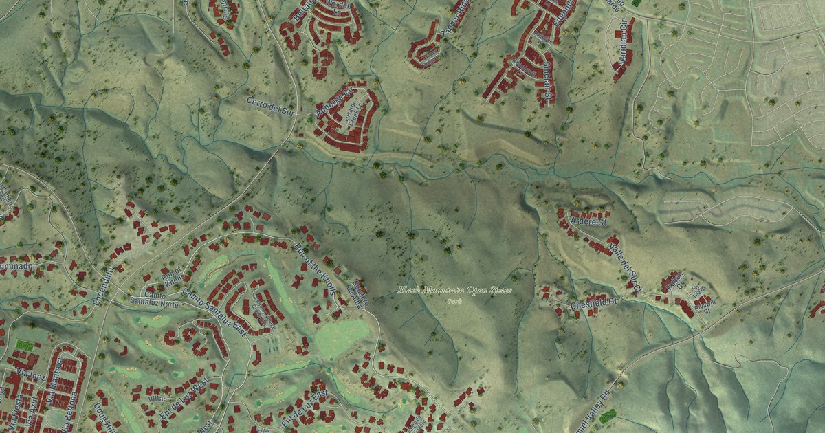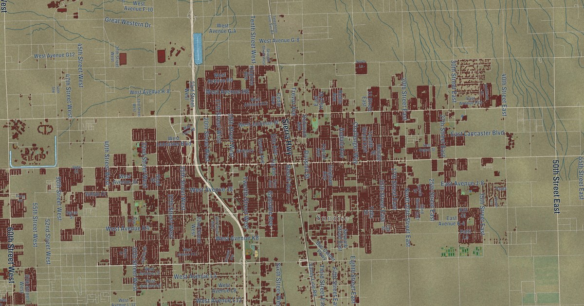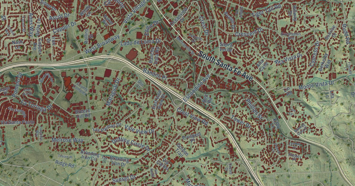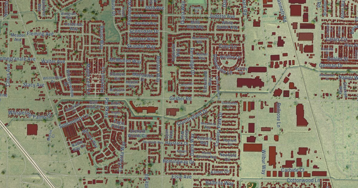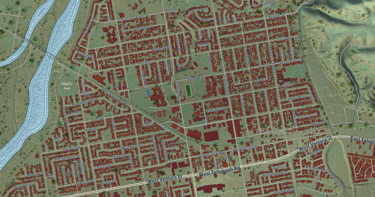
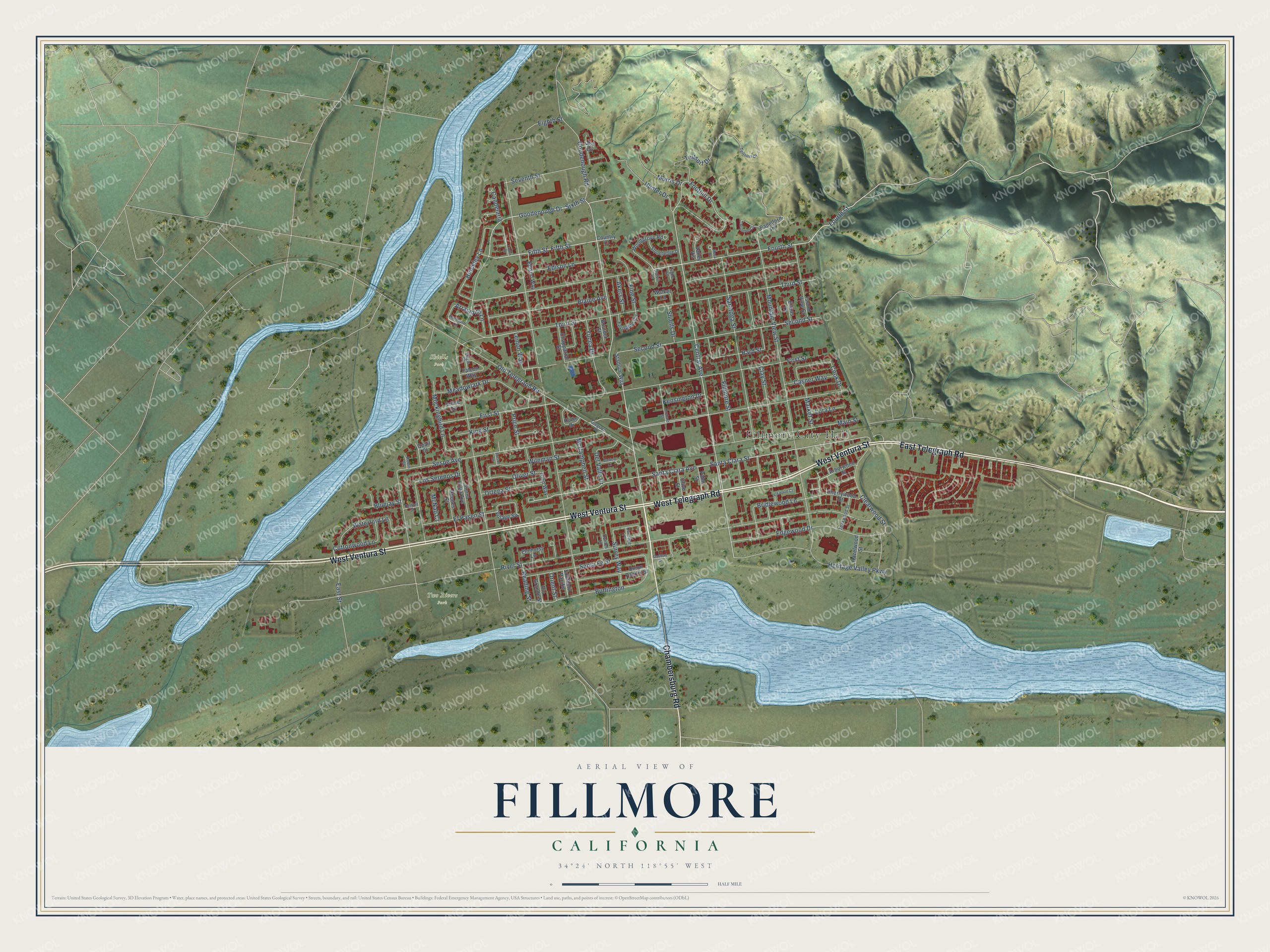
This beautifully detailed map of Fillmore, California was created in 2026 using aerial imagery combined with modern topographical, census, street and landmark data. It's a modern aerial view of Fillmore in Ventura County, California, that combines modern data with a vintage aesthetic. The roads feature printed names, and if you look closely you can find your exact house accurately shown in its correct location.
Explore an aerial view of Fillmore, California
On this map you'll find Fillmore City Hall, Two Rivers Park, Shiells Park, West Ventura Street, West Telegraph Road, East Telegraph Road, Chambersburg Road, Fourth Street, Central Avenue, Goodenough Drive, Foothill Drive, Fifth Street, and more. Each red shape is a building, so zoom in on the preview and look for yours.
Fillmore is a city in Ventura County. The Census Bureau counted 16,419 people here in 2020. The map prints the town name in its title panel, with the coordinates below it.
Take a closer look at the Fillmore map
Names on this map
These names are printed on this map.
Places: Fillmore City Hall, Two Rivers Park and Shiells Park.
Streets and roads: West Ventura Street, West Telegraph Road, East Telegraph Road, Chambersburg Road, Fourth Street, Central Avenue, Goodenough Drive, Foothill Drive, Fifth Street, Sespe Avenue, Santa Clara Avenue, Second Street.
More street names, A to Z
Akers Street, Arborwood Street, Arrasmith Lane, Arundell Circle, Ash Circle, Balden Lane, Bard Street, Blaine Avenue, Bluejay Street, Boulder Street, Bridlewood Lane, Burlington, Burson Lane, Candelaria, Carriage Place, Casner Way, Center Street, Chapparral Street, Cherrywood Street, Clay Street, Clearwood Street, Cook Drive, Cottonwood Lane, Country Court, Del Valle Drive, Dunton Lane, Eagle Court, East Street, Edgewood Drive, Edison Lane, Edison Way, Eighth Street, Elkins Lane, Elkwood Court, Elmhurst Lane, El Paseo Street, Falcon Way, Fernglen Circle, Fillmore Street, Fine Street, First Street, Galvin Lane, Gasway Drive, Glen Way, Goodenough Road, Harthorn Lane, Hazelwood Street, Heritage Valley Parkway, Hinckley Lane, Hume Drive, Hunter Drive, Island View Street, Kensington Drive, King Street, Lemon Way, Lora Lane, Los Serenos Drive, Main Street, Market Street, McCampbell Street, McNab Court, Meadowlark Drive, Mesa Drive, Mockingbird Lane, Morris Drive, Mountain View Street, Old Telegraph Road, Oliver Street, Olive Street, Orchard Street, Orient Street, Oriole Circle, Ortega Street, Padelford Road, Palm Street, Price Street, Quail Court, Reading Street, Rhodes Court, Rio Grande Street, River Street, Robin Court, Santa Clara Street, Santa Fe Street, Saratoga Street, Seventh Street, Shiells Drive, Sierra Vista Avenue, Sixth Street, Southern Pacific, Staduim Way, Stonehedge Drive, Surrey Way, Taylor Lane, Teakwood Street, Teilsort Drive, Teitsort Drive, Telegraph Road, Third Street, Tighe Lane, Union Pacific Street, Valley Vis, Village Square, Walker Lane, Waterford Lane, Wileman Street, Woodgrove Road, Yucca Drive.
Created by KNOWOL in 2026. The buildings are small red shapes, the roads carry their printed names, and shaded relief shows the shape of the land. The title panel reads "AERIAL VIEW OF FILLMORE CALIFORNIA" with 34°24' NORTH 118°55' WEST.
It suits a den, a classroom or a front hall, and it makes a gift for anyone with Fillmore roots. Open the preview and find the block you know. See sizes and frames for the Fillmore map.