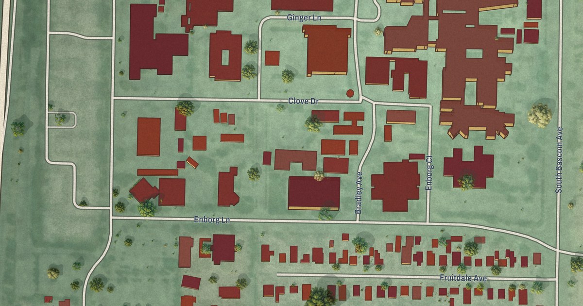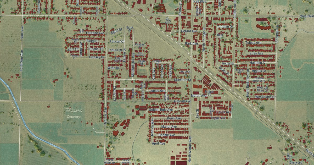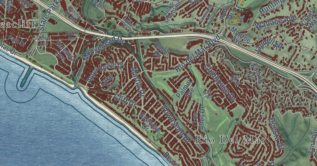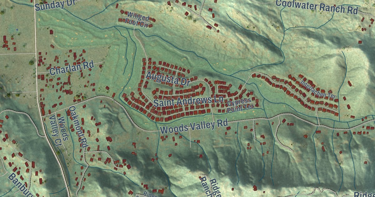
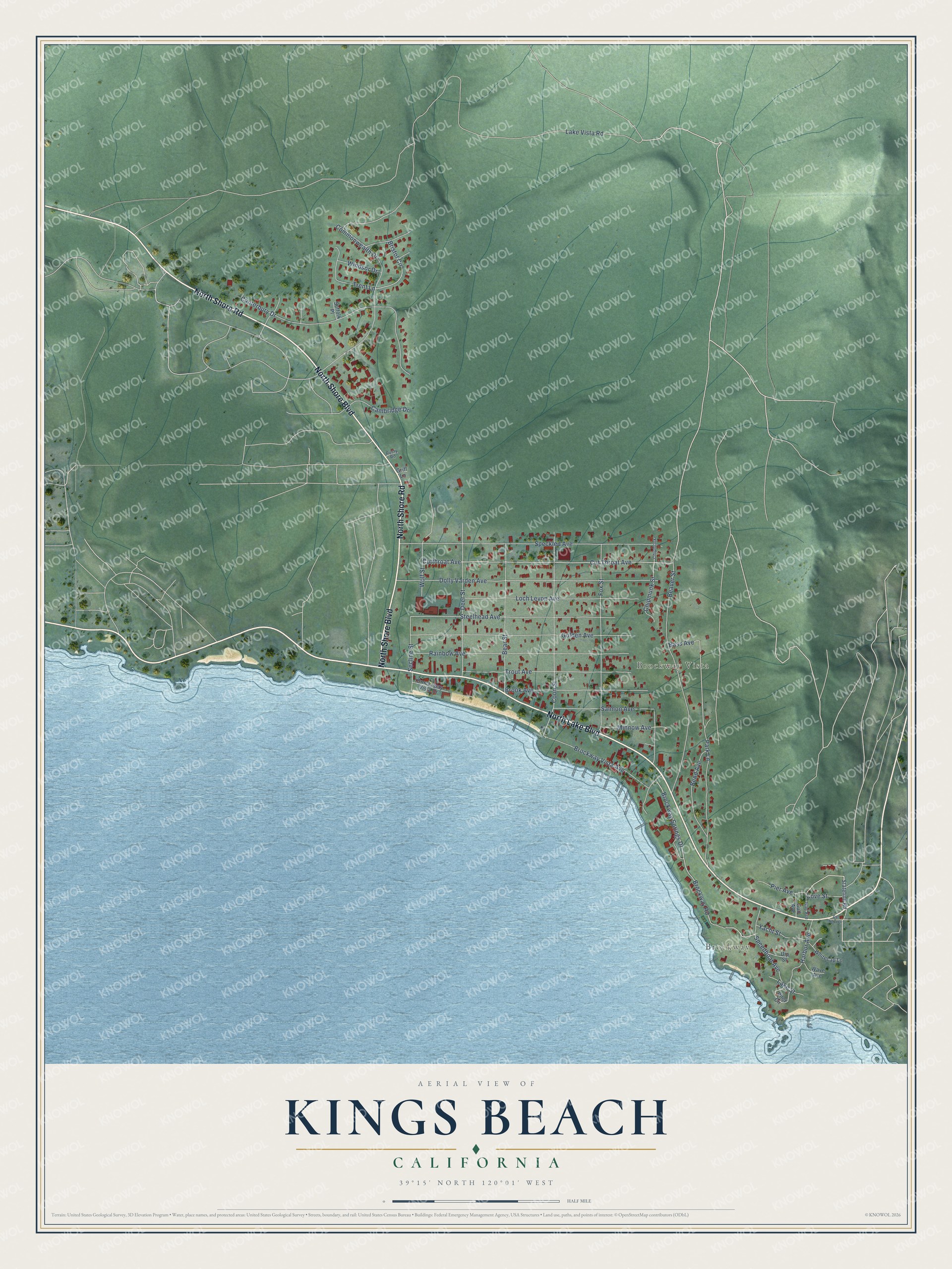
This beautifully detailed map of Kings Beach, California was created in 2026 using aerial imagery combined with modern topographical, census, street and landmark data. It’s a one-of-a-kind view of Kings Beach that combines accurate data with a vintage aesthetic. The map shows every building in its true location, many of the roads carry their names, and the shaded topographic relief shows the shape of the land.
Explore an aerial view of Kings Beach, California
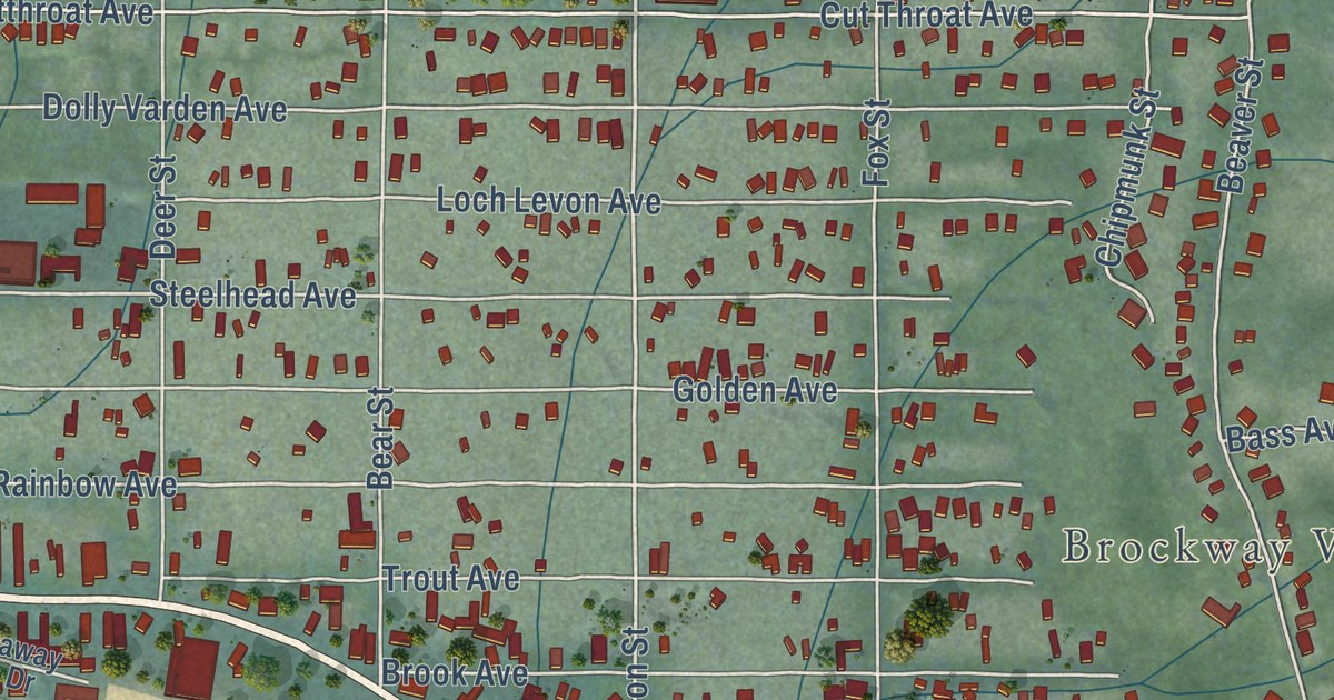
On the map you’ll find Brockway and Brockway Vista, along with North Lake Boulevard, North Shore Road, North Shore Boulevard, Stateline Road, Bristol Circle, Coon Street, Dolly Varden Avenue, Speckled Avenue, Beaver Street, Cut Throat Avenue, and more. If you look closely you can even find your house accurately drawn in its correct location. Zoom in on the preview to look for yours.
Did you know this piece of Kings Beach, California history?
From Moonshine Ink: "However Kings Beach got its name, King is still credited with developing the beach town. King built a large shopping center in the heart of town near the beach, which included a grocery store, beauty parlor, movie theater, meat market, and Loynd’s Pharmacy."
Take a closer look at the Kings Beach map
Street and place names on the Kings Beach, California map
These names are printed on the map of Kings Beach, California.
Places: Brockway and Brockway Vista.
Streets and roads: North Shore Boulevard, North Shore Road, North Lake Boulevard, Bristol Circle, Coon Street, Lake Vista Road, Dolly Varden Avenue, Speckled Avenue, Beaver Street, Cut Throat Avenue, Cutthroat Avenue, Canterbury Drive.
More street names, A to Z
Bass Avenue, Bear Street, Bend Avenue, Brockaway Vista Drive, Brockway Road, Brockway Springs Drive, Brockway Vista Avenue, Brook Avenue, Cal Neva Drive, Cambridge Drive, Chipmonk, Chipmunk Street, Commonwealth Drive, Cove Street, Deer Street, Dip Street, Fox Street, Golden Avenue, Griff Lane, Gull Avenue, Harbor Avenue, Islet Avenue, Lake Street, Loch Levon Avenue, Minnow Avenue, Park Lane, Pier Avenue, Pilot Circle, Rainbow Avenue, Rusty Road, Salmon Avenue, Secline Street, Speedboat Avenue, Stateline Road, Steelhead Avenue, Suffolk Place, Trent Lane, Trout Avenue, Wave Avenue, Whitecap Lane, Windsor Drive, Wolf Street, Yacht Street.
See the Kings Beach, California map on a wall
The Kings Beach map as an 18 x 24 inch print in a black frame.

This beautifully detailed map of Kings Beach makes an attractive addition to your office, library, or den, and it can even be used to teach children the geography and history of the area. It also makes a great gift for someone who left Kings Beach and still calls it home. When you’re done exploring, click here to get your copy of the Kings Beach map.