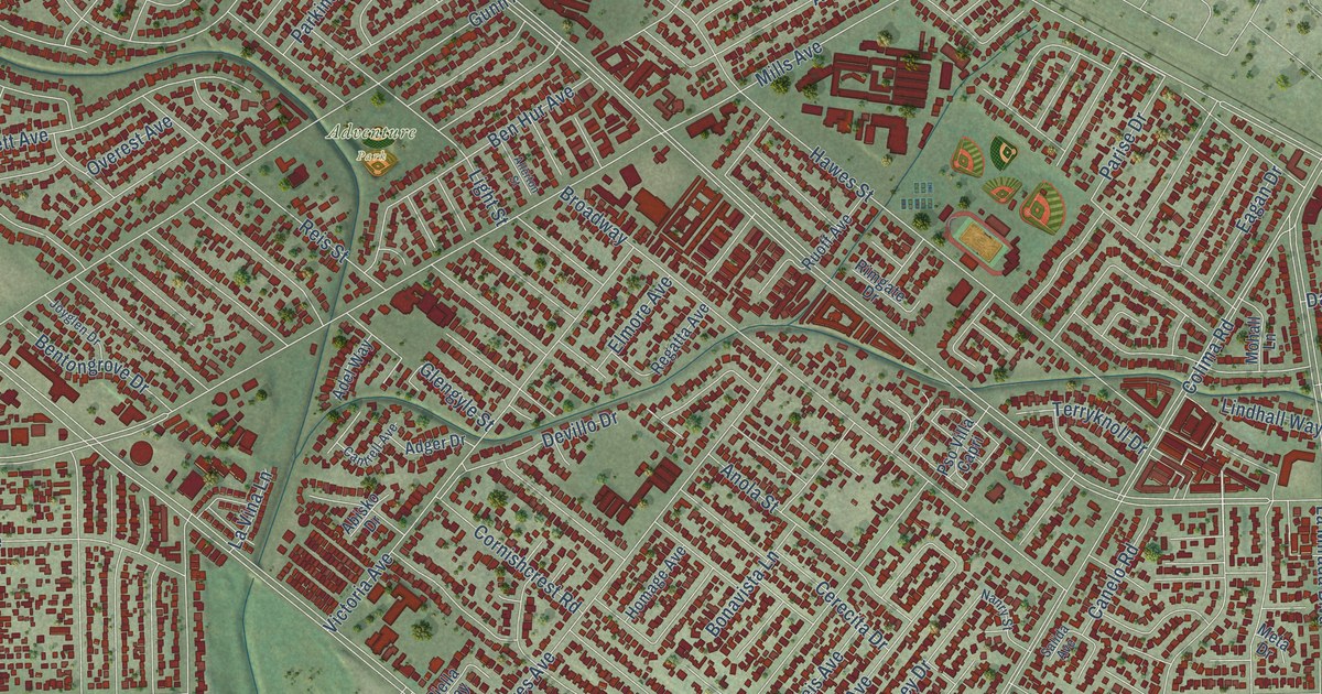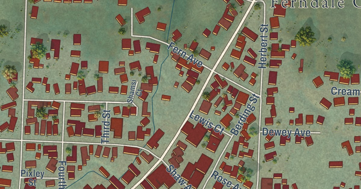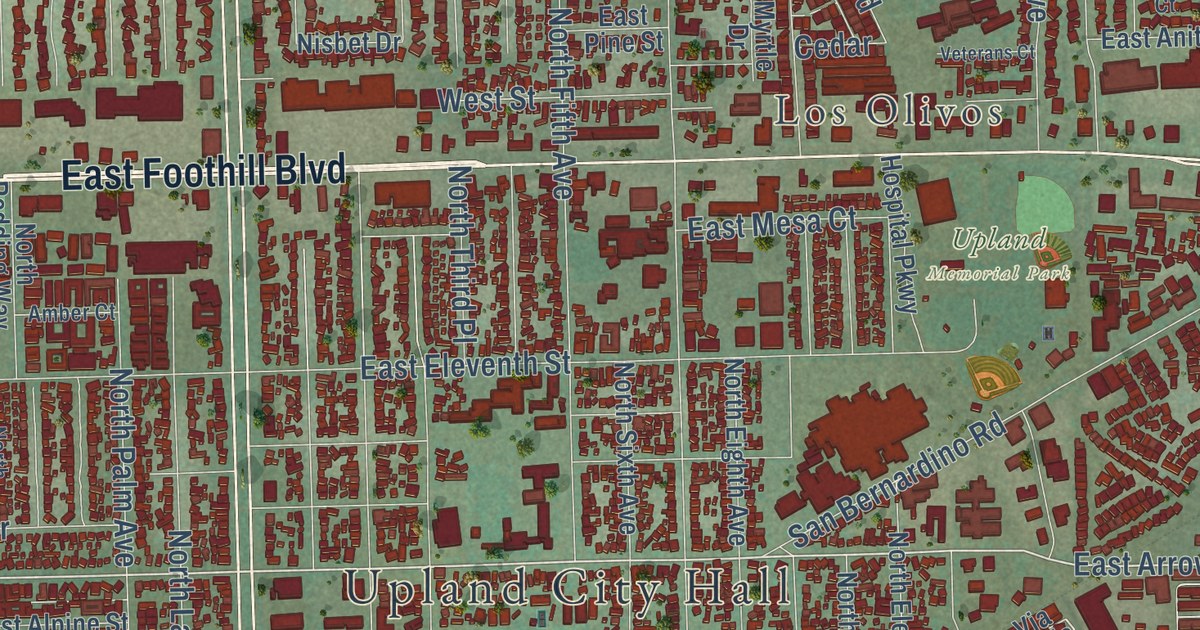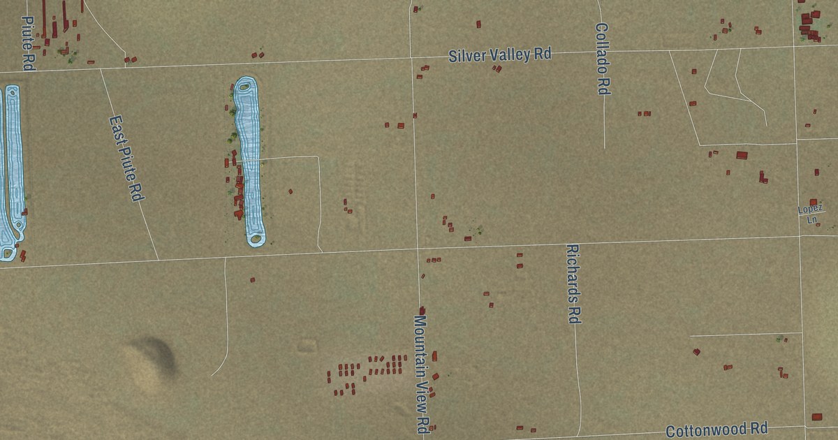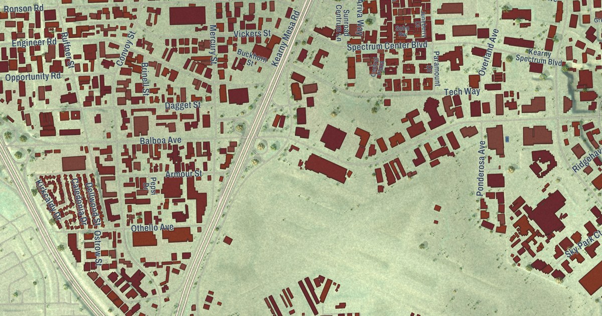
This beautifully detailed map of Kearny Mesa, California was created in 2026 using aerial imagery combined with modern topographical, census, street and landmark data. It’s a one-of-a-kind view of Kearny Mesa that combines accurate data with a vintage aesthetic. The map shows every building in its true location, many of the roads carry their names, and the shaded topographic relief shows the shape of the land.
Explore an aerial view of Kearny Mesa, California
On the map you’ll find Hickman Field, along with Ruffin Road, Balboa Avenue, Ruffin Court, Murphy Canyon Road, Kearny Villa Road, Clairemont Mesa Boulevard, Aero Drive, Convoy Street, Kearny Mesa Road, Ronson Road, Mercury Street, and more. If you look closely you can even find your house accurately drawn in its correct location. Zoom in on the preview to look for yours.
Did you know this piece of Kearny Mesa, California history?
From the City of San Diego: "The first urbanization of Kearny Mesa began in 1937 with an airfield. Around the airport, 1,400 acres of surrounding property became an industrial park, and beginning in 1955 with General Dynamics, numerous aerospace, electronic, and other industrial and office firms located in the area."
Kearny Mesa is a place in San Diego County.
Take a closer look at the Kearny Mesa map
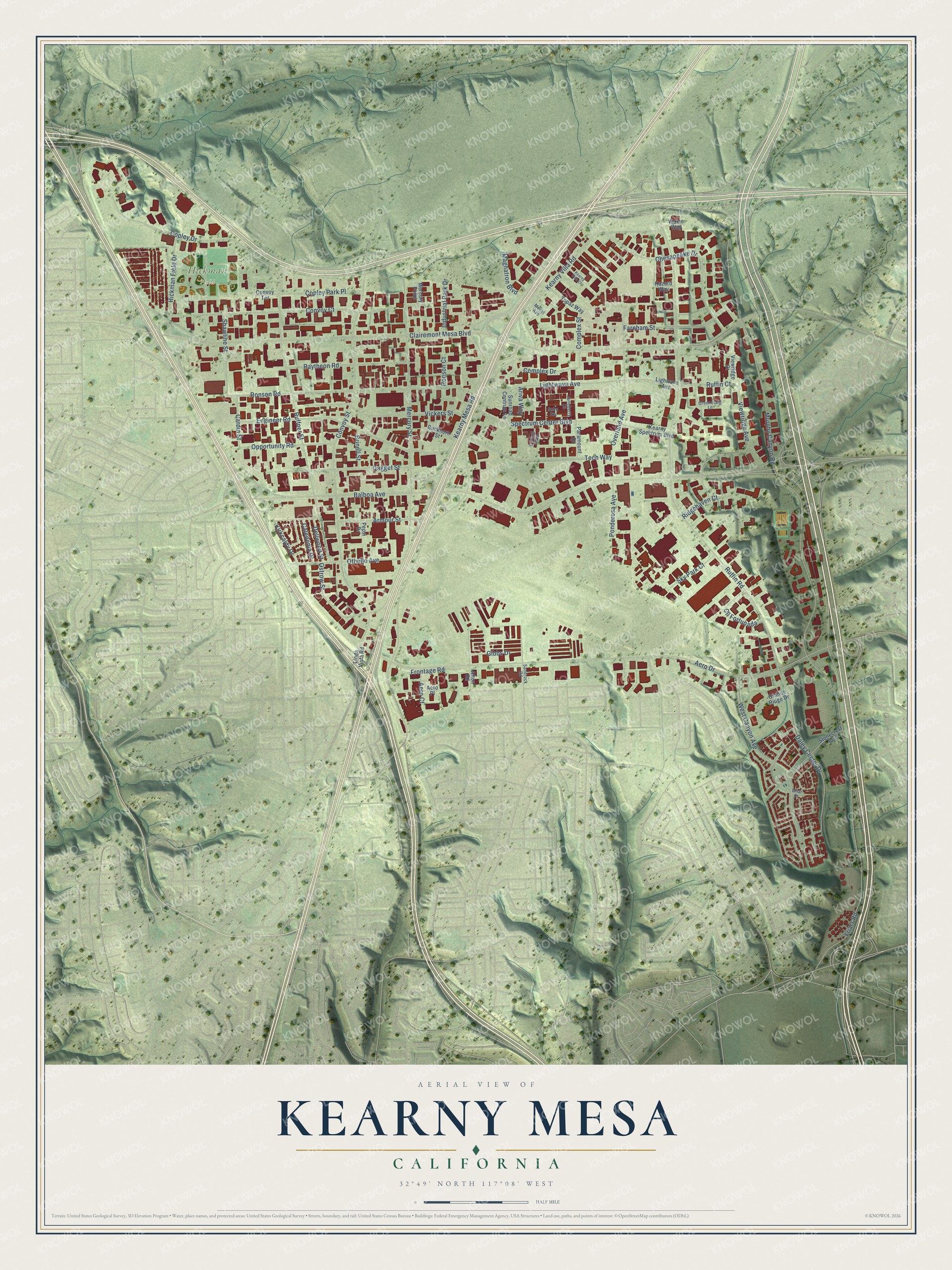
Street and place names on the Kearny Mesa, California map
These names are printed on the map of Kearny Mesa, California.
Places: Hickman Field.
Streets and roads: Ruffin Road, Balboa Avenue, Ruffin Court, Murphy Canyon Road, Kearny Villa Road, Clairemont Mesa Boulevard, Aero Drive, Convoy Street, Kearny Mesa Road, Ronson Road, Mercury Street, Ruffner Street.
More street names, A to Z
Aero Court, Aero Place, Afton Road, Ariva Way, Armour Street, Briar Court, Brinell Street, Buckhorn Street, Caledonia Drive, Cardin Street, Central Plaza, Chesapeake Drive, Cll Fortunada, Complex Drive, Complex Street, Convoy Court, Convoy Terrace, Copley Drive, Copley Park Place, Dagget Street, Daley Center Drive, Dellwood Street, Engineer Road, Farnham Street, Friars Road, Frontage Road, Gibbs Drive, Granite Ridge Drive, Greencraig Lane, Hazard Way, Hickman Field Drive, Industrial Park Drive, Juneberry Court, Kearny Spectrum Boulevard, Kearny Villa Court, Kirkcaldy Drive, Lightwave Avenue, Lighwave Avenue, Linda Vista Road, Magnatron Boulevard, Mercury Point, Monel Avenue, Opportunity Road, Ostrow Street, Othello Avenue, Overland Avenue, Paramount Drive, Pepsi Drive, Ponderosa Avenue, Raytheon Road, Ridgehaven Court, Ronson Court, Sandrock Road, Shawline Street, Sky Park Court, Soho Rw, Spectrum Center Boulevard, Stonecrest Boulevard, Sunroad Centrum Lane, Tech Way, Topaz Way, Vickers Street, Viewridge Avenue, Viewridge Court, Waxie Way, West Canyon Avenue.
See the Kearny Mesa, California map on a wall
The Kearny Mesa map as an 18 x 24 inch print in a black frame.

This beautifully detailed map of Kearny Mesa makes an attractive addition to your office, library, or den, and it can even be used to teach children the geography and history of the area. It also makes a great gift for anyone who grew up in Kearny Mesa or moved away. When you’re done exploring, click here to get your copy of the Kearny Mesa map.