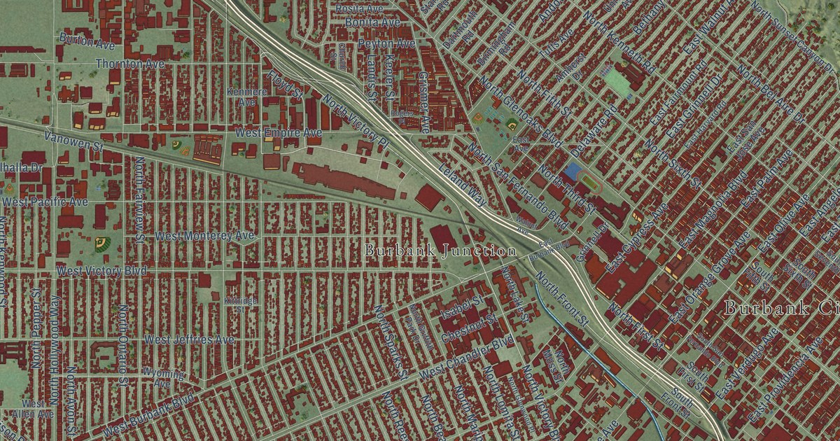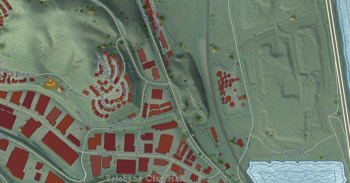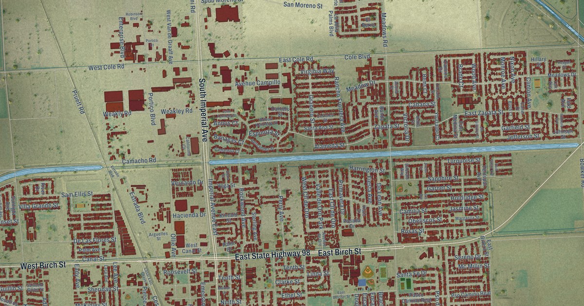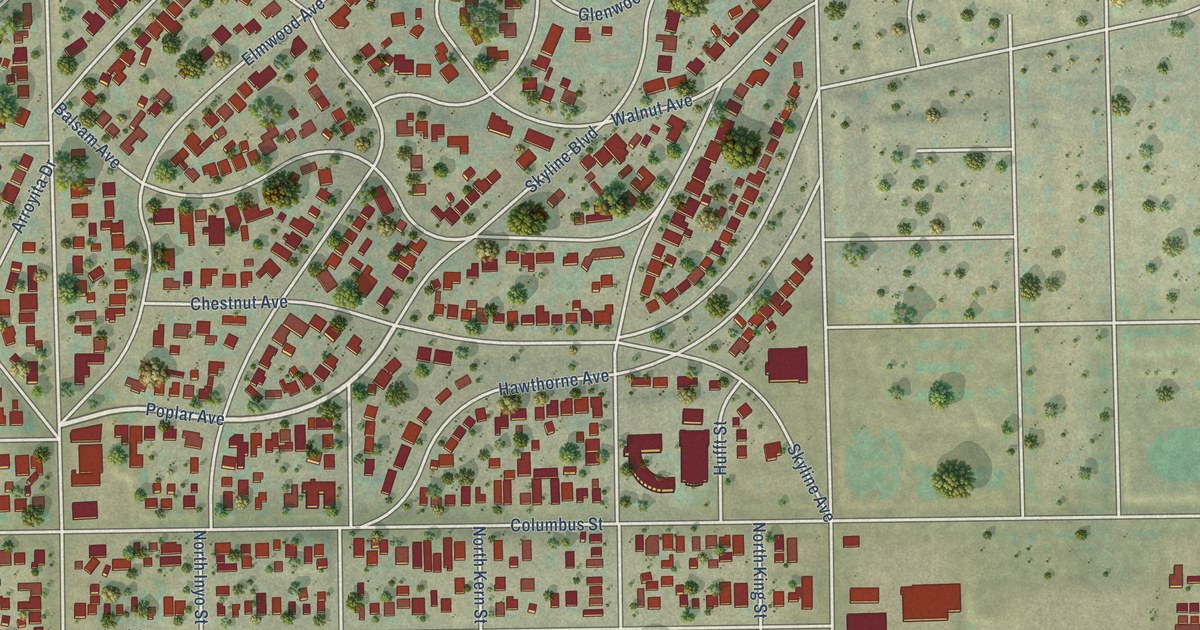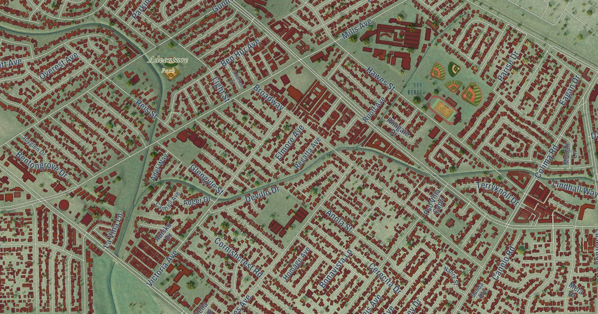
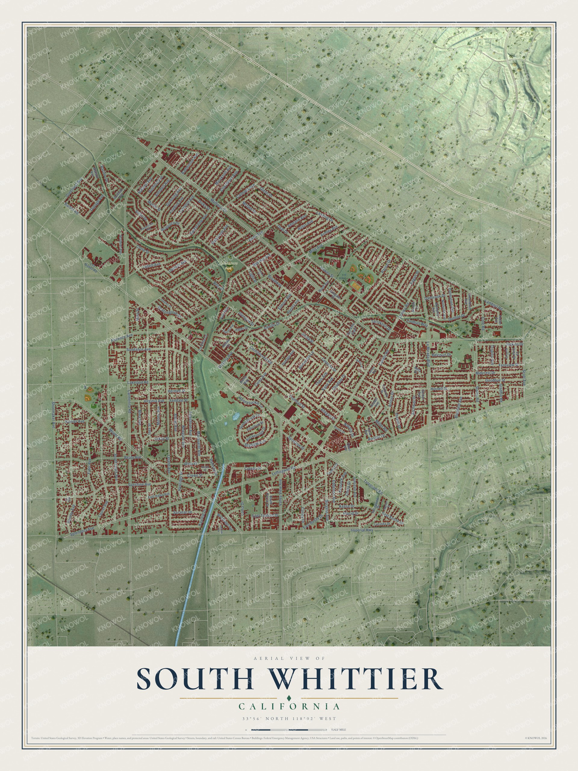
This beautifully detailed map of South Whittier, California was created in 2026 using aerial imagery combined with modern topographical, census, street and landmark data. It's a modern aerial view of South Whittier in Los Angeles County, California, that combines modern data with a vintage aesthetic. The roads feature printed names, and if you look closely you can find your exact house accurately shown in its correct location.
Explore an aerial view of South Whittier, California
On this map you'll find Adventure Park, Telegraph Road, Mina Avenue, Arroyo Drive, Fernview Street, East Tedford Drive, Honeysuckle Lane, Mulberry Drive, Leffingwell Road, Imperial Highway, Carmenita Road, Meyer Road, and more. Each red shape is a building, so zoom in on the preview and look for yours.
South Whittier is a community in Los Angeles County. The Census Bureau counted 56,415 people here in 2020. The map prints the town name in its title panel, with the coordinates below it.
Take a closer look at the South Whittier map
Names on this map
These names are printed on this map.
Places: Adventure Park.
Streets and roads: Telegraph Road, Mina Avenue, Arroyo Drive, Fernview Street, East Tedford Drive, Honeysuckle Lane, Mulberry Drive, Leffingwell Road, Imperial Highway, Carmenita Road, Meyer Road, Colima Road.
More street names, A to Z
Abisko Drive, Acapulco Drive, Adel Way, Adger Drive, Ahmann Avenue, Alclad Avenue, Allegan Street, Allerton Street, Amsdell Avenue, Anabel Avenue, Anola Street, Archway Drive, Armley Avenue, Armsdale Avenue, Badminton Avenue, Barkerville Avenue, Barton Road, Beaty Avenue, Belcourt Drive, Ben Hur Avenue, Bentongrove Drive, Biella Way, Bluefield Avenue, Bluford Avenue, Bonavista Lane, Breckenridge Drive, Broadway, Brook Court, Burgess Avenue, Calmada Avenue, Canelo Road, Cantrell Avenue, Cerecita Drive, Ceres Avenue, Chadsey Drive, Chere Drive, Close Street, Coachman Avenue, Cole Road, Corley Drive, Cornishcrest Road, Coteau Drive, Crewe Street, Dalmation Avenue, Danbrook Drive, Devillo Drive, Dicky Street, Duffield Avenue, Dunton Drive, Dupage Avenue, Eagan Drive, East Busby Drive, East Haley Avenue, East Keese Drive, Edderton Avenue, Elmore Avenue, Fendale Street, Fidel Avenue, Firebird Avenue, Florence Avenue, Foxcroft Drive, Gerber Avenue, Gladhill Road, Glengyle Street, Glenn Drive, Goodhue Street, Greenbush Avenue, Greening Avenue, Greenleaf Avenue, Guilford Avenue, Gunn Avenue, Hastings Drive, Hawes Street, Hawkstone Avenue, Hermes Street, Hester Avenue, Homage Avenue, Hornell Street, Inez Street, Jenkins Drive, Joyglen Drive, Kane Avenue, Kayreid Drive, Keese Drive, Kessock Avenue, La Cima Drive, Lakeland Road, Lambert Road, La Mirada Boulevard, Lanett Avenue, Lanning Drive, La Serna Drive, Laurel Avenue, La Vina Lane, Leland Avenue, Light Street, Lindhall Way, Loma Drive, Los Nietos Road, Lucinda Drive, Lukay Street, Marquardt Avenue, Maryknoll Avenue, McGee Drive, Memphis Avenue, Meta Drive, Midcrest Drive, Miller Road, Mills Avenue, Mina Street, Mitony Avenue, Mohall Lane, Moline Drive, Mystic Street, Nanry Street, Nashville Avenue, Natalie Drive, Newgate Avenue, Nita Court, Obert Avenue, Oval Drive, Overest Avenue, Painter Avenue, Parise Drive, Parkinson Avenue, Placid Drive, Poulter Drive, Pso Villa Capri, Racimo Drive, Rainier Avenue, Ramsey Drive, Raritan Drive, Regatta Avenue, Reis Street, Rimgate Drive, Rufus Avenue, Ruoff Avenue, Rutland Avenue, Safari Drive, Salida Avenue, Saranac Drive, Scott Avenue, Scribner Avenue, Shoemaker Avenue, South Louis Avenue, South Parise Drive, Splendora Avenue, Springview Drive, Stamy Road, Starlight Avenue, Sundance Avenue, Sunnybrook Lane, Sunshine Avenue, Syracuse Street, Tana Avenue, Tarryton Avenue, Tedford Drive, Telechron Avenue, Terryknoll Drive, Theis Avenue, Thrace Drive, Tropico Avenue, Trumball Street, Utica Street, Valley View Avenue, Viburnum Drive, Victoria Avenue, Virginia Avenue, Walthall Avenue, Woodridge Avenue.
Created by KNOWOL in 2026. The buildings are small red shapes, the roads carry their printed names, and shaded relief shows the shape of the land. The title panel reads "AERIAL VIEW OF SOUTH WHITTIER CALIFORNIA" with 33°56' NORTH 118°02' WEST.
Hang it in the hallway, the office or the cabin, or give it to someone who left South Whittier and still calls it home. Open the preview and look for a street you know. See sizes and frames for the South Whittier map.