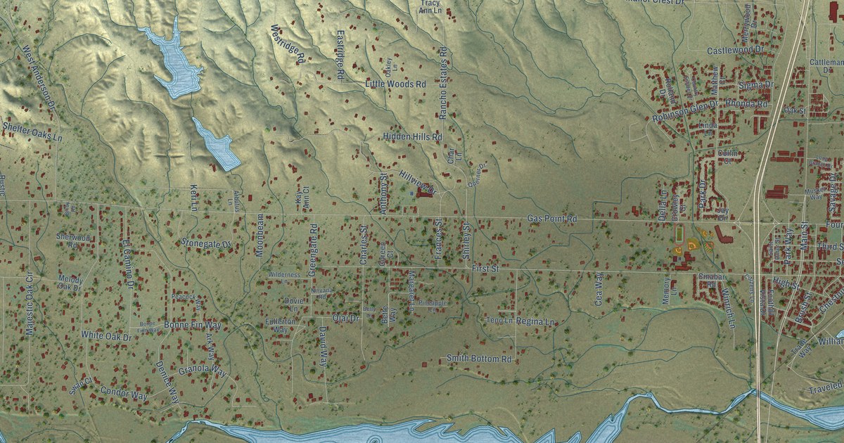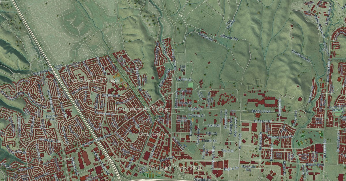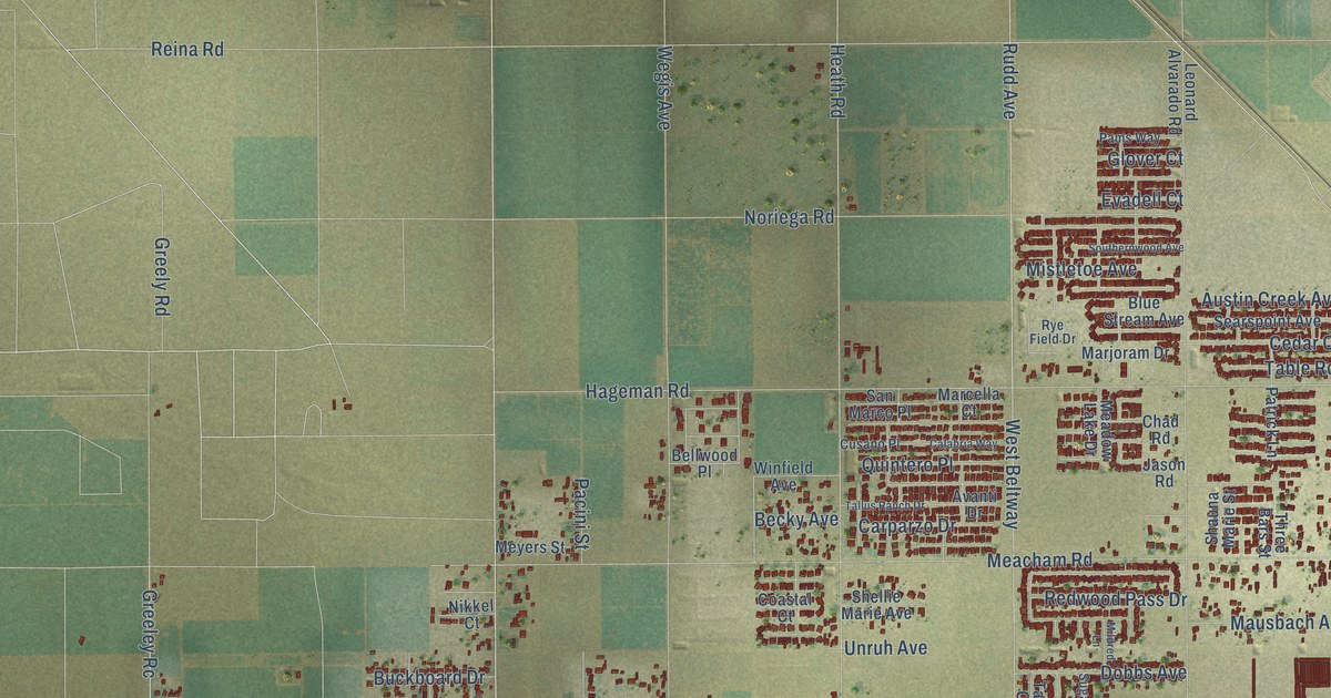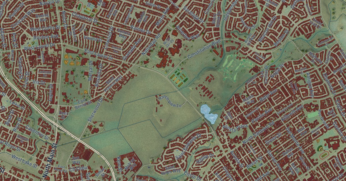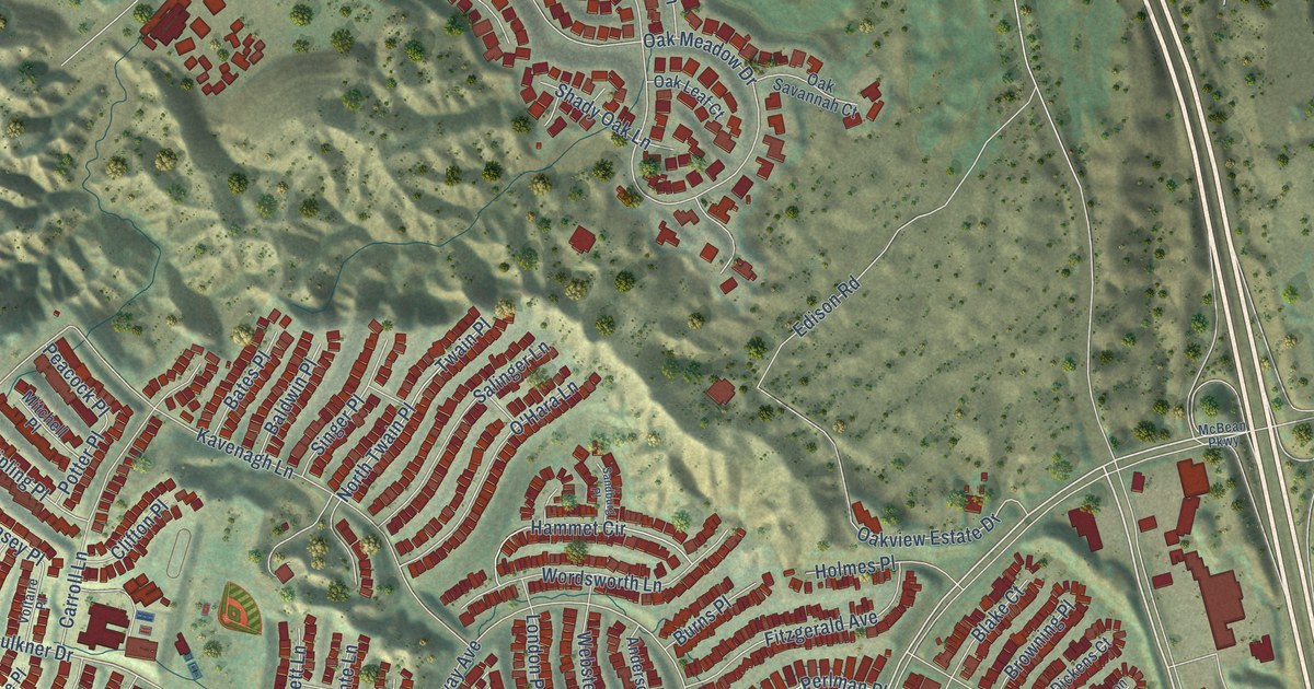
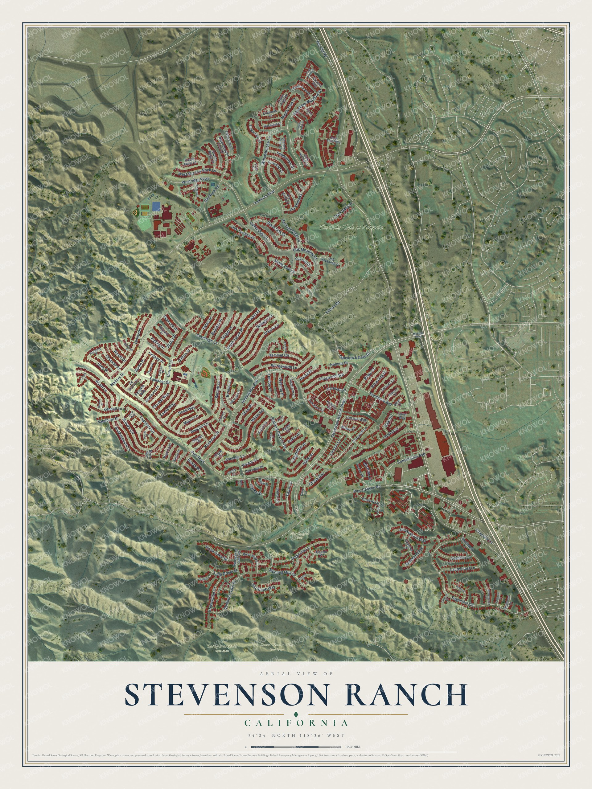
This beautifully detailed map of Stevenson Ranch, California was created in 2026 using aerial imagery combined with modern topographical, census, street and landmark data. It's a modern aerial view of Stevenson Ranch in Los Angeles County, California, that combines modern data with a vintage aesthetic. The roads feature printed names, and if you look closely you can find your exact house accurately shown in its correct location.
Explore an aerial view of Stevenson Ranch, California
On this map you'll find Laing-Brookfield Open Space, Pico Canyon Park, Santa Clarita City Open Space, The Oaks Club at Valencia, Pico Canyon Road, Faulkner Drive, Ocasey Place, Valencia Boulevard, Grey Place, The Old Road, Poe Parkway, Stevenson Ranch Parkway, and more. Each red shape is a building, so zoom in on the preview and look for yours.
Stevenson Ranch is a community in Los Angeles County. The Census Bureau counted 20,178 people here in 2020. The map prints the town name in its title panel, with the coordinates below it.
Take a closer look at the Stevenson Ranch map
Names on this map
These names are printed on this map.
Places: Laing-Brookfield Open Space, Pico Canyon Park, Santa Clarita City Open Space and The Oaks Club at Valencia.
Streets and roads: Pico Canyon Road, Faulkner Drive, Ocasey Place, Valencia Boulevard, Grey Place, The Old Road, Poe Parkway, Stevenson Ranch Parkway, Hemingway Avenue, Edison Road, Sagecrest Circle, Oak Meadow Drive.
More street names, A to Z
Alcott Court, Alder Court, Anderson Lane, Autumn Place, Baker Place, Baldwin Place, Barnett Lane, Bates Place, Baviera Way, Beecher Lane, Birchleaf Court, Black Oak Drive, Blake Court, Bowie Court, Bracken Lane, Brighton Place, Bronte Lane, Brooks Circle, Browning Place, Bryant Place, Burke Place, Burns Place, Burroughs Place, Byron Way, Carroll Lane, Carson Way, Cedar Ridge Place, Chase Avenue, Chaucer Place, Chicory Court, Chiquella Lane, Chisom Lane, Christie Court, Clarke Street, Clemens Court, Clifton Place, Coleridge Place, Constitution Avenue, Crockett Lane, De Quincy Place, Dickens Court, Dogwood Court, Dove Lane, Doyle Court, Durant Place, Elliot Court, Elmwood Lane, Emerson Lane, Fairway Lane, Fitzgerald Avenue, Flemming Place, Forsythe Way, Franklin Lane, Frost Lane, Gale Drive, Gloriso Lane, Granite Ridge Court, Grazia Lane, Greenleaf Court, Greensbrier Drive, Hammet Circle, Hardy Place, Hawthorne Place, Hazelcrest Lane, Heritage View Lane, Holiday Circle, Hollyhock Court, Holmes Place, Hood Way, Hopkins Place, Housman Place, Huston Street, Huxley Drive, Irving Lane, Jasmine Lane, Joyce Place, Kavenagh Lane, Keats Lane, Kendall Lane, Kipling Place, Laurelcrest Lane, Lewis Way, London Place, Longfellow Place, Magnolia Lane, Mallory Drive, Maple Tree Court, Marlowe Court, McBean Parkway, Mitchell Place, Moore Lane, Morning Mist Drive, North Boulder Crest Drive, North Twain Place, O'Hara Lane, Oak Leaf Court, Oak Savannah Court, Oak Terrace Place, Oakview Estate Drive, Old Rock Road, Old Stone Way, Oliver Way, Paine Circle, Peacock Place, Pebble Beach Drive, Pebble Ridge Place, Peppertree Drive, Perlman Place, Pine Hollow Court, Playa Serena Drive, Pope Place, Potter Place, Quartz Mesa Lane, Raleigh Lane, Reade Place, River Walk Lane, Royal Oaks Road, Salinger Lane, Sandburg Place, Sandburn Place, Sargasso Court, Schubert Circle, Shadow Tree Lane, Shady Oak Lane, Shakespeare Lane, Shaw Place, Shelly Place, Silver Aspen Way, Sinclair Place, Singer Place, Smokewood Way, Southern Oaks Drive, Stafford Canyon Road, Steinbeck Avenue, Stonegate Drive, Summerhill Place, Sycamore Meadow Drive, Tennyson, Thackery Lane, Thurber Way, Timberline Terrace, Trent Way, Tulip Grove Street, Twain Place, Twin Oaks Place, Valderrama Drive, Valley Oak Lane, Verandah Court, Verne Court, Via Bellazza, Via Ventana, Voltaire Place, Wallace Place, Webster Place, Wells Court, Westridge Parkway, West Shadow Rock Lane, Wharton Drive, Whispering Oaks Road, Wilde Avenue, Willowbrooke Lane, Wintergreen Court, Wolfe Circle, Wordsworth Lane, Wyatt Lane.
Created by KNOWOL in 2026. The buildings are small red shapes, the roads carry their printed names, and shaded relief shows the shape of the land. The title panel reads "AERIAL VIEW OF STEVENSON RANCH CALIFORNIA" with 34°24' NORTH 118°36' WEST.
Hang it in the hallway, the office or the cabin, or give it to someone who left Stevenson Ranch and still calls it home. Open the preview and look for a street you know. See sizes and frames for the Stevenson Ranch map.