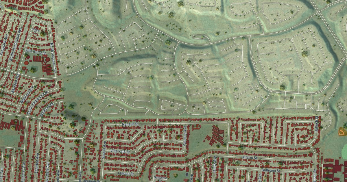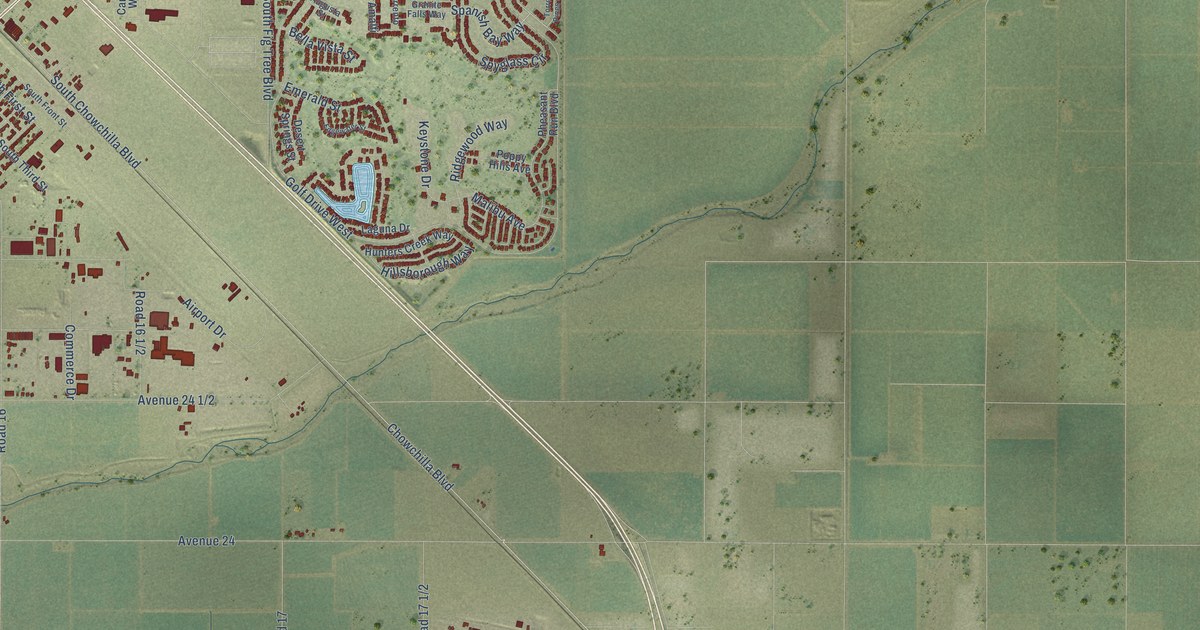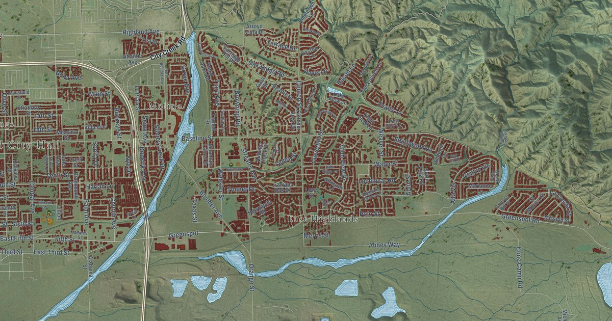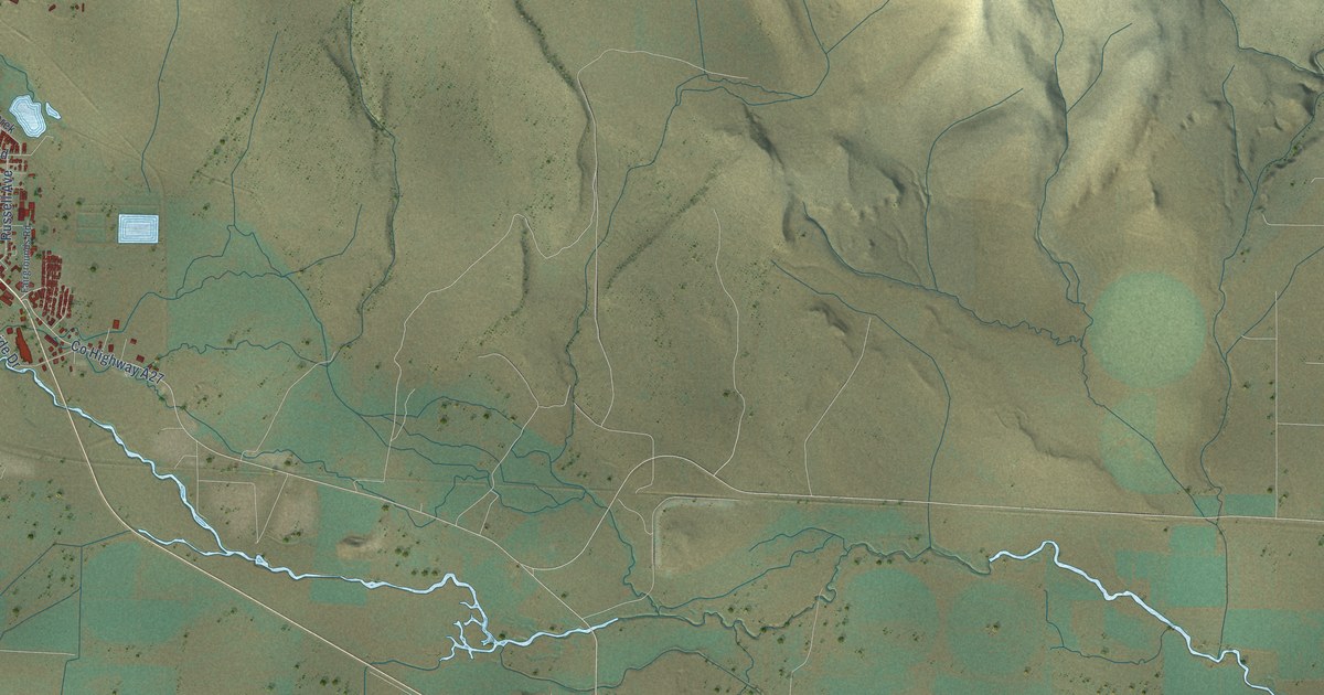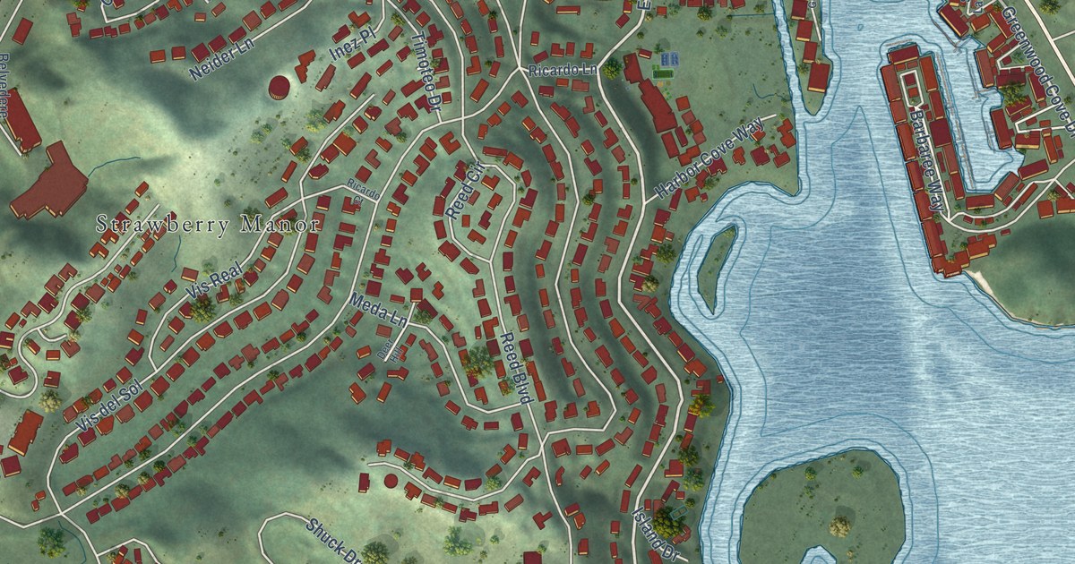
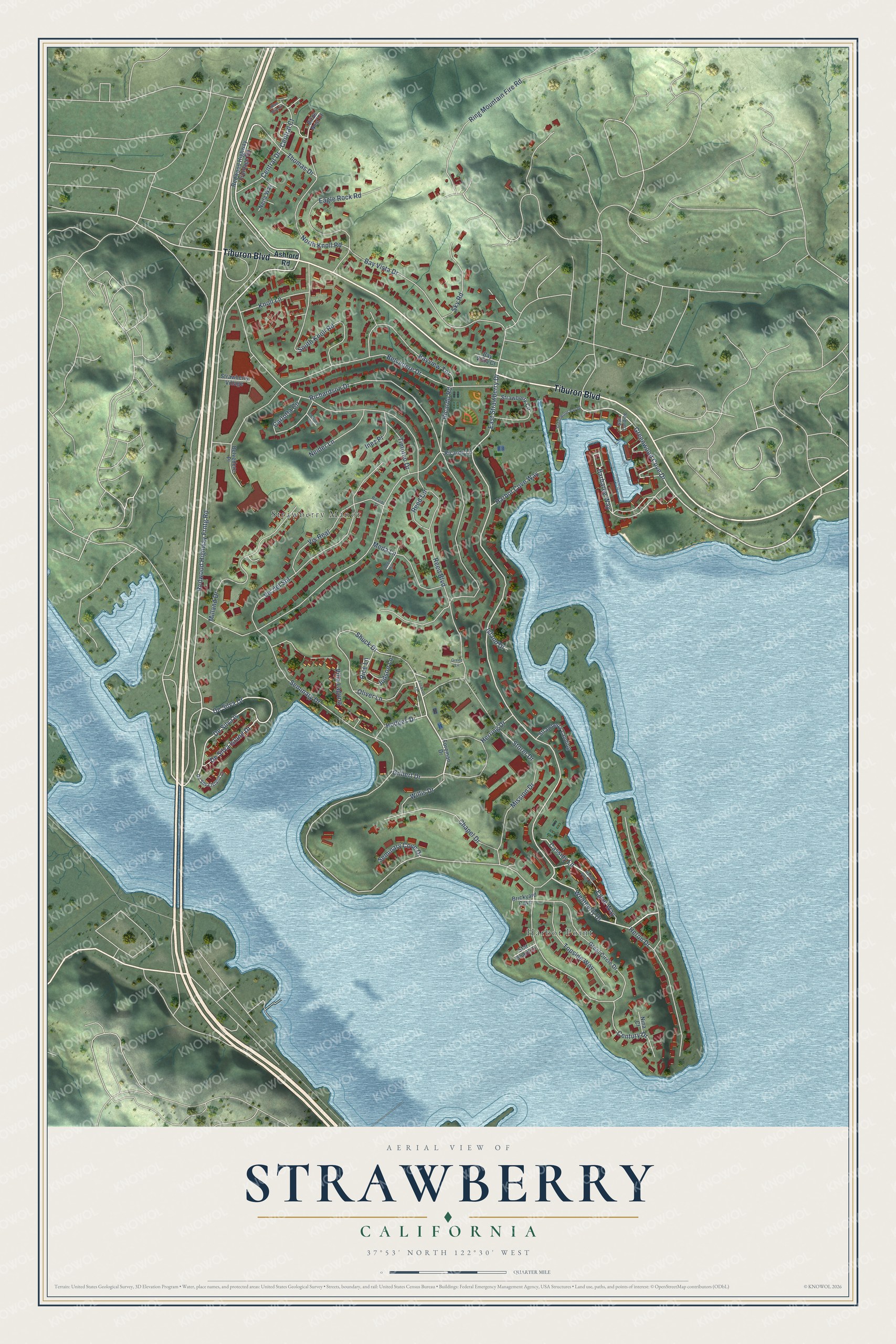
This beautifully detailed map of Strawberry, California was created in 2026 using aerial imagery combined with modern topographical, census, street and landmark data. It's a modern aerial view of Strawberry in Marin County, California, that combines modern data with a vintage aesthetic. The roads feature printed names, and if you look closely you can find your exact house accurately shown in its correct location.
Explore an aerial view of Strawberry, California
On this map you'll find Harbor Point, Strawberry Manor, Tiburon Boulevard, Redwood Highway Frntg Road, Shuck Drive, Weatherly Drive, Egret Way, De Silva Island Drive, Greenwood Cove Drive, East Strawberry Drive, De Silva Drive, De Silva Is, and more. Each red shape is a building, so zoom in on the preview and look for yours.
Strawberry is a community in Marin County. The Census Bureau counted 5,447 people here in 2020. The map prints the town name in its title panel, with the coordinates below it.
Take a closer look at the Strawberry map
Names on this map
These names are printed on this map.
Places: Harbor Point and Strawberry Manor.
Streets and roads: Tiburon Boulevard, Redwood Highway Frntg Road, Shuck Drive, Weatherly Drive, Egret Way, De Silva Island Drive, Greenwood Cove Drive, East Strawberry Drive, De Silva Drive, De Silva Is, Seminary Drive, Reed Boulevard.
More street names, A to Z
Ashford Road, Barbaree Way, Bayview Terrace, Bay Vista Court, Bay Vista Drive, Belvedere Drive, Belvedere Place, Birds Nest Court, Blue Bird Lane, Brickyard Cave, Carlotta Circle, Cassidy Lane, Central Court, Central Drive, Century Drive, Chapel Drive, Clotilda Court, Deer Hill, De Silva Island Court, Eagle Rock Road, Foreman Drive, Gilbert Drive, Great Circle Drive, Green Lane, Greenwood Bay Drive, Harbor Cove Way, Harbor Point Drive, Heron Drive, Herring Drive, Hodges Drive, Inez Place, Island Drive, Judson Lane, Knoll Lane, Lockett Lane, Meda Lane, Milland Drive, Mission Drive, Neider Lane, Neila Way, Nina Court, North Knoll Road, Oliver Lane, Redwood Highway Frontage Road, Reed Circle, Ricardo Court, Ricardo Lane, Ricardo Road, Rice Lane, Richardson Drive, Ring Mountain Fire Road, Salt Landing, Seminary Cove Drive, Sky Road, South Knoll Road, Star Board Court, Storer Drive, Strawberry Circle, Strawberry Landing, Strawberry Village, Thomas Drive, Timoteo Drive, Topside Way, Villa Laguna, Vis del Sol, Vis Real, Willis Drive.
Created by KNOWOL in 2026. The buildings are small red shapes, the roads carry their printed names, and shaded relief shows the shape of the land. The title panel reads "AERIAL VIEW OF STRAWBERRY CALIFORNIA" with 37°53' NORTH 122°30' WEST.
It suits a den, a classroom or a front hall, and it makes a gift for anyone with Strawberry roots. Open the preview and find the block you know. See sizes and frames for the Strawberry map.