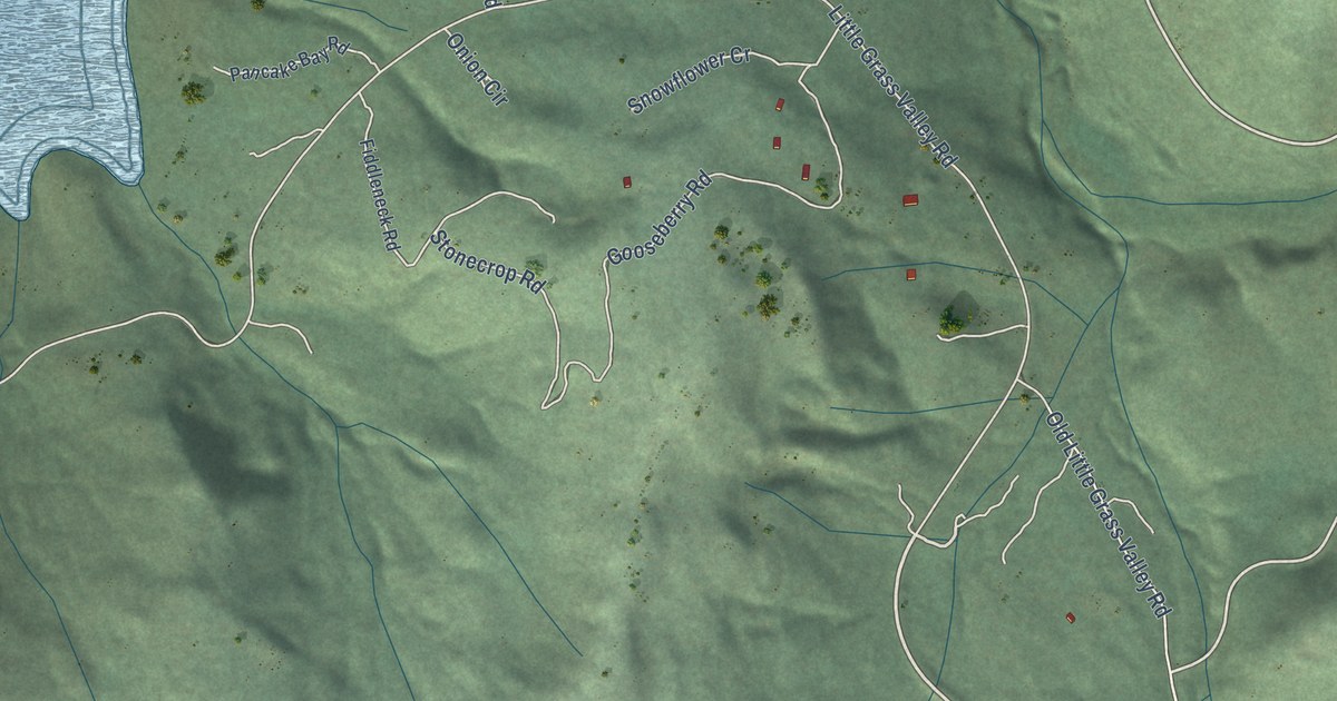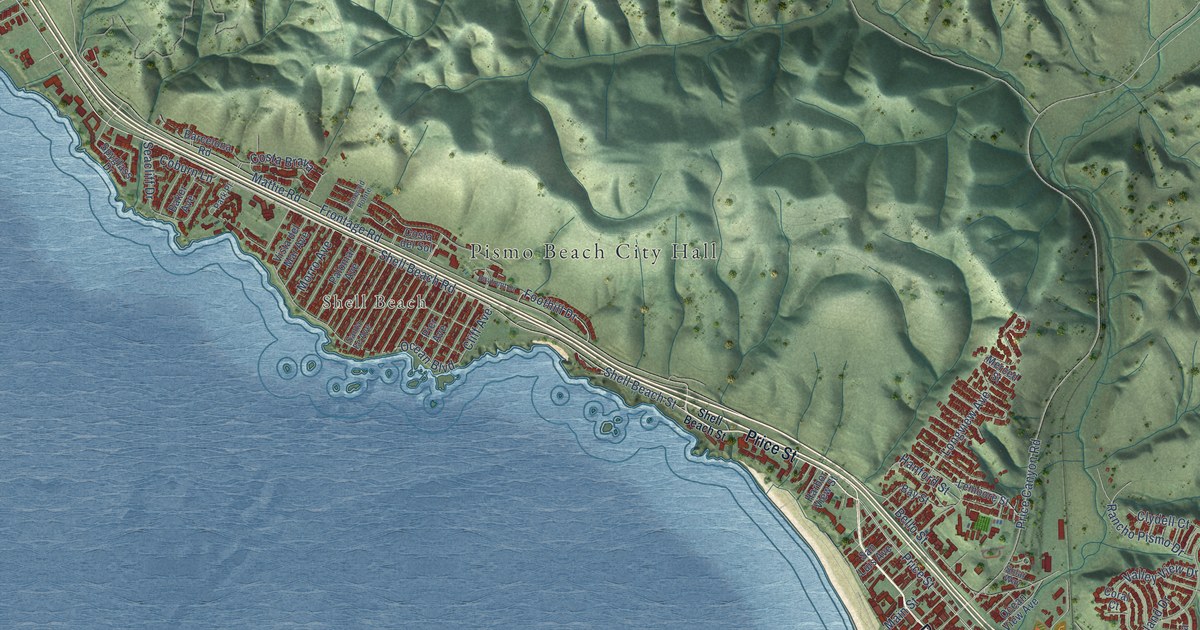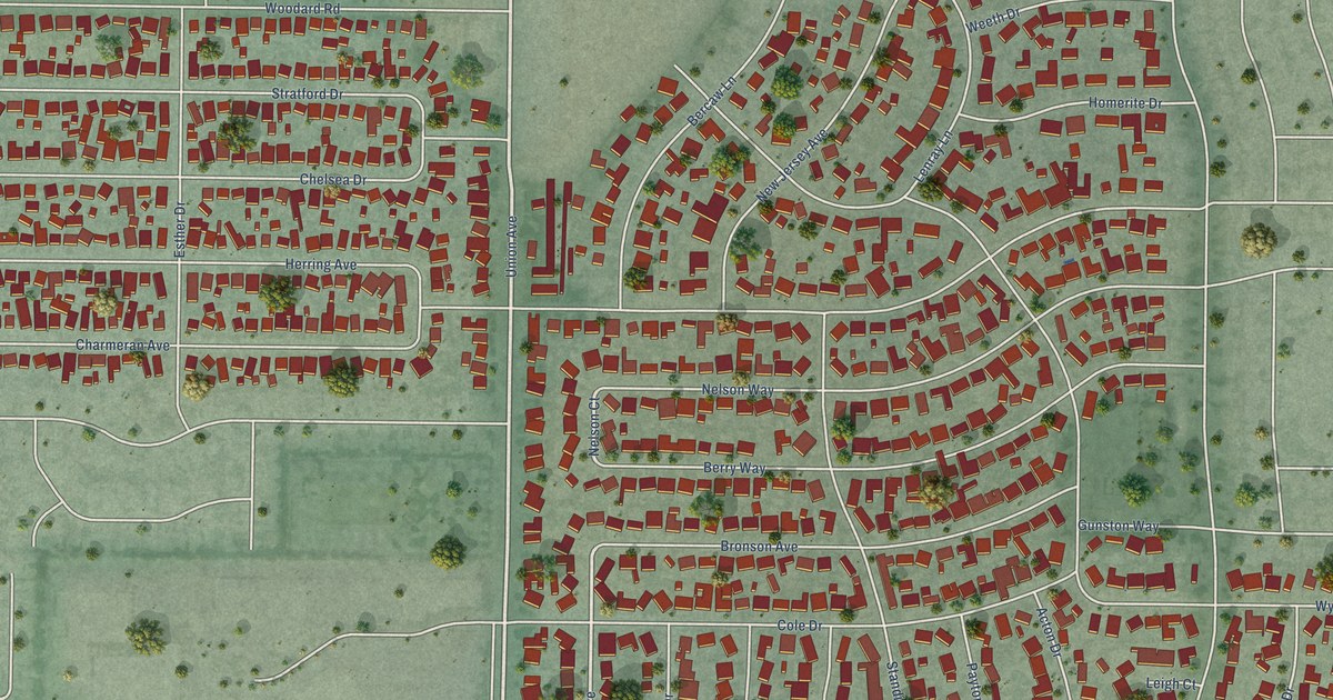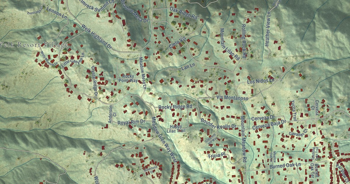
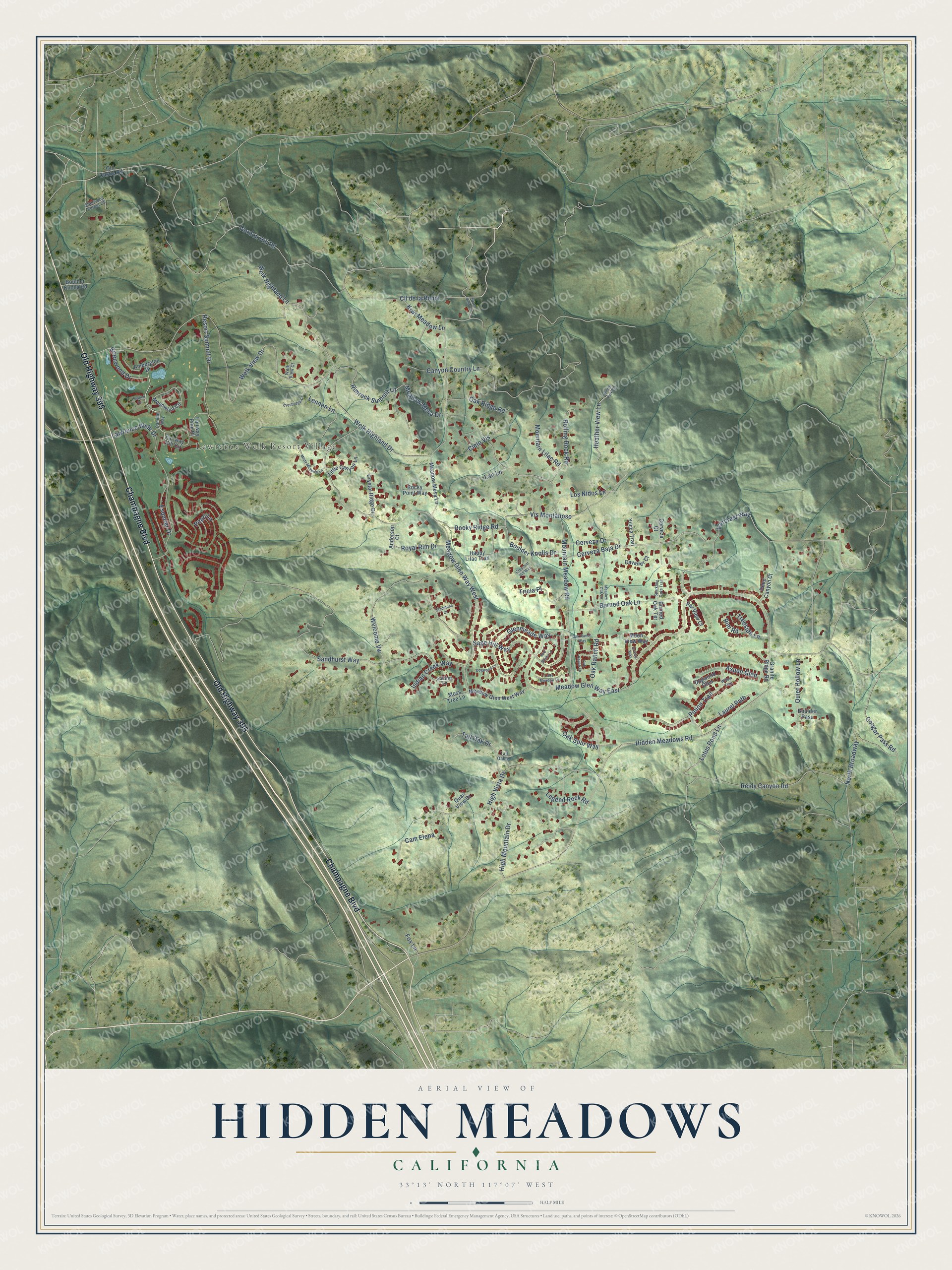
This beautifully detailed map of Hidden Meadows, California was created in 2026 using aerial imagery combined with modern topographical, census, street and landmark data. It's a modern aerial view of Hidden Meadows in San Diego County, California, that combines modern data with a vintage aesthetic. The roads feature printed names, and if you look closely you can find your exact house accurately shown in its correct location.
Explore an aerial view of Hidden Meadows, California
On this map you'll find Lawrence Welk Resort Village, Champagne Boulevard, Old Highway 395, Brienwood Drive, Cerveza Drive, Faircrest Way, Mountain Meadow Road, Sandhurst Way, Meadow Glen Way East, Welk View Drive, Meadow Glen Way West, Gordon Hill Road, and more. Each red shape is a building, so zoom in on the preview and look for yours.
Every town has a first chapter, and Hidden Meadows is no exception. Television bandleader Lawrence Welk started his resort business in 1964, when he bought a motel and a nine-hole golf course north of San Diego. That first Escondido property grew into a resort of 450 acres, with two 18-hole golf courses, a theater and restaurants, and it stayed locally owned for 57 years. His son Larry Welk started its vacation ownership business there in 1985 with the Lawrence Welk Resort Villas. That's from the Times of San Diego.
Hidden Meadows is a community in San Diego County. The Census Bureau counted 4,484 people here in 2020.
Take a closer look at the Hidden Meadows map
Names on this map
These names are printed on this map.
Places: Lawrence Welk Resort Village.
Streets and roads: Champagne Boulevard, Old Highway 395, Brienwood Drive, Cerveza Drive, Faircrest Way, Mountain Meadow Road, Sandhurst Way, Meadow Glen Way East, Welk View Drive, Meadow Glen Way West, Gordon Hill Road, Cougar Pass Road.
More street names, A to Z
Amberglen Drive, Anderson Court, Aspen Glen, Boulder Knolls Drive, Boulder Knolls Road, Boulder Pass, Burned Oak Lane, Burned Oak Terrace, Cam Elena, Camille Way, Canyon Country Lane, Cavalier Court, Cerveza Baja Drive, Cerveza Court, Chalice Drive, Cielo Vis, Cll de la Reina, Crescent Hill Way, Crestridge Court, Crystal Ridge Drive, Deep Canyon Court, Dogwood Glen, Dogwood Lane, Esquirer Drive, Fairway Hill Circle, Fairway Pine Place, Fox Lane, Galatea Lane, Gladstone Court, Glenmeade Way, Granite Ridge Road, Grassy Way, Happy Lilac Trail, Heather View Lane, Hidden Meadows Road, High Mountain Drive, High Vista Drive, Indian Creek Way, Kiwi Meadow Lane, Lake Meadow Lane, Lan Lane, Laurel Path, Lawrence Welk Drive, Legend Rock Road, Lennon Lane, Little Canyon Lane, Los Nidos Lane, Lotus Pond Lane, Meadow Glen West Way, Meadow Mesa Drive, Meadow Mesa Lane, Meadow Oak Lane, Misty Meadow Lane, Moon View Way, Moonwind Circle, Moss Tree Lane, Mountain Lilac Road, North Broadway, North View Lane, Oak Ranch Lane, Oak Ranch Road, Oak Ranch Way, Oak Ridge Road, Oak Spur Way, Old Castle Road, Par View Court, Pearl Lane, Pinion Trail, Quail View Drive, Quiet Hollow Lane, Red Stone Lane, Reidy Canyon Road, Resort Summit Drive, Rim Road, Rimrock Summit Lane, Rocky Point Way, Rocky Ridge Road, Rolling Rock Road, Royal Rim Drive, Sage Hill Way, Sherwood Forest Court, Sparkling Oaks Trail, Tall Oak Drive, Tall Oak Lane, Treeside Lane, Tricia Place, Vis Montanoso, Welcome Vw, Welk Highland Drive, Welk Highland Lane, Welk View Court, Willow Park Road, Willow Trail, Yucca Trail.
See it on a wall
The Hidden Meadows map as a framed print. Swipe for more.


Created by KNOWOL in 2026. The buildings are small red shapes, the roads carry their printed names, and shaded relief shows the shape of the land. The title panel reads "AERIAL VIEW OF HIDDEN MEADOWS, CALIFORNIA" with 33°13' NORTH 117°07' WEST.
Hang it in the hallway, the office or the cabin, or give it to someone who left Hidden Meadows and still calls it home. Open the preview and look for a street you know. See sizes and frames for the Hidden Meadows map.