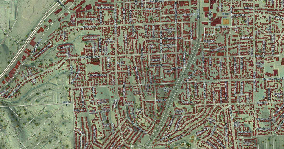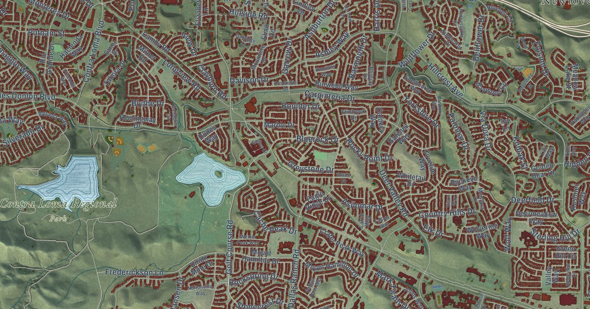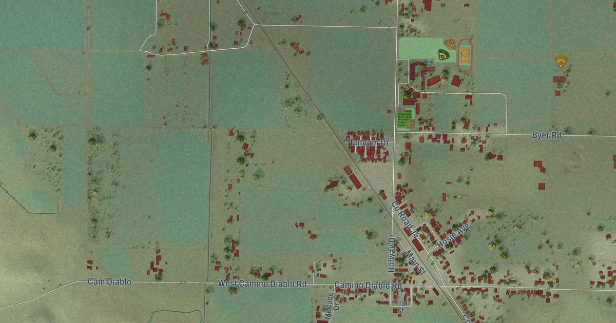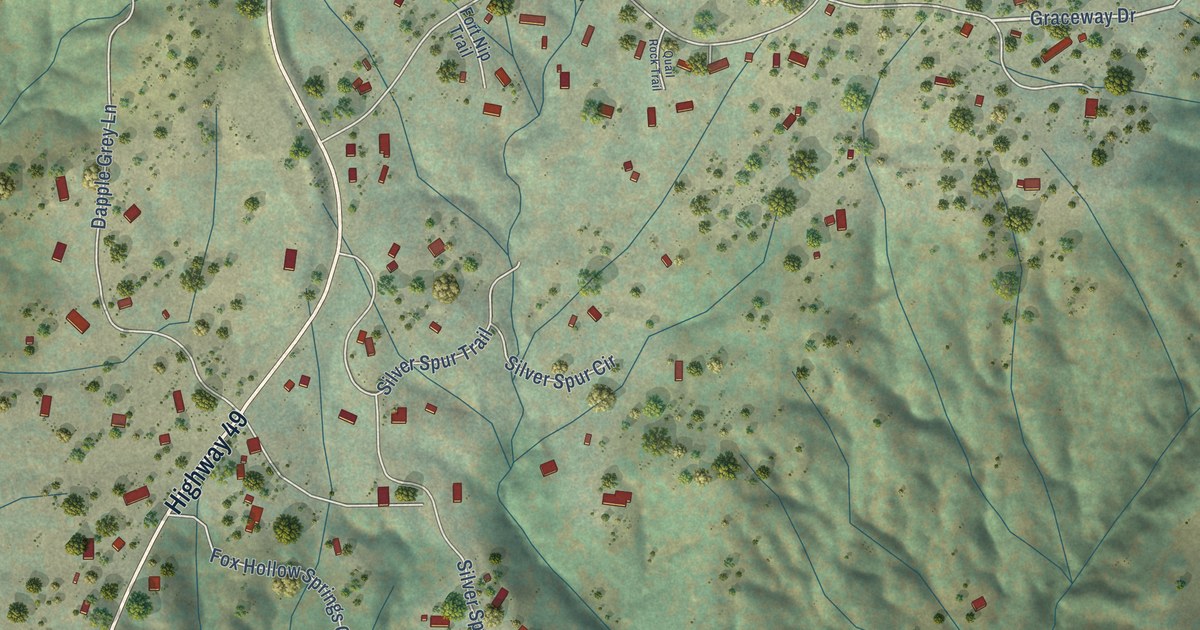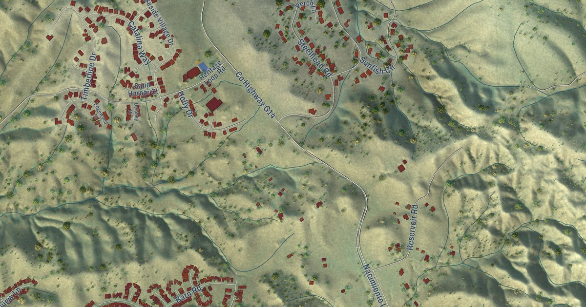
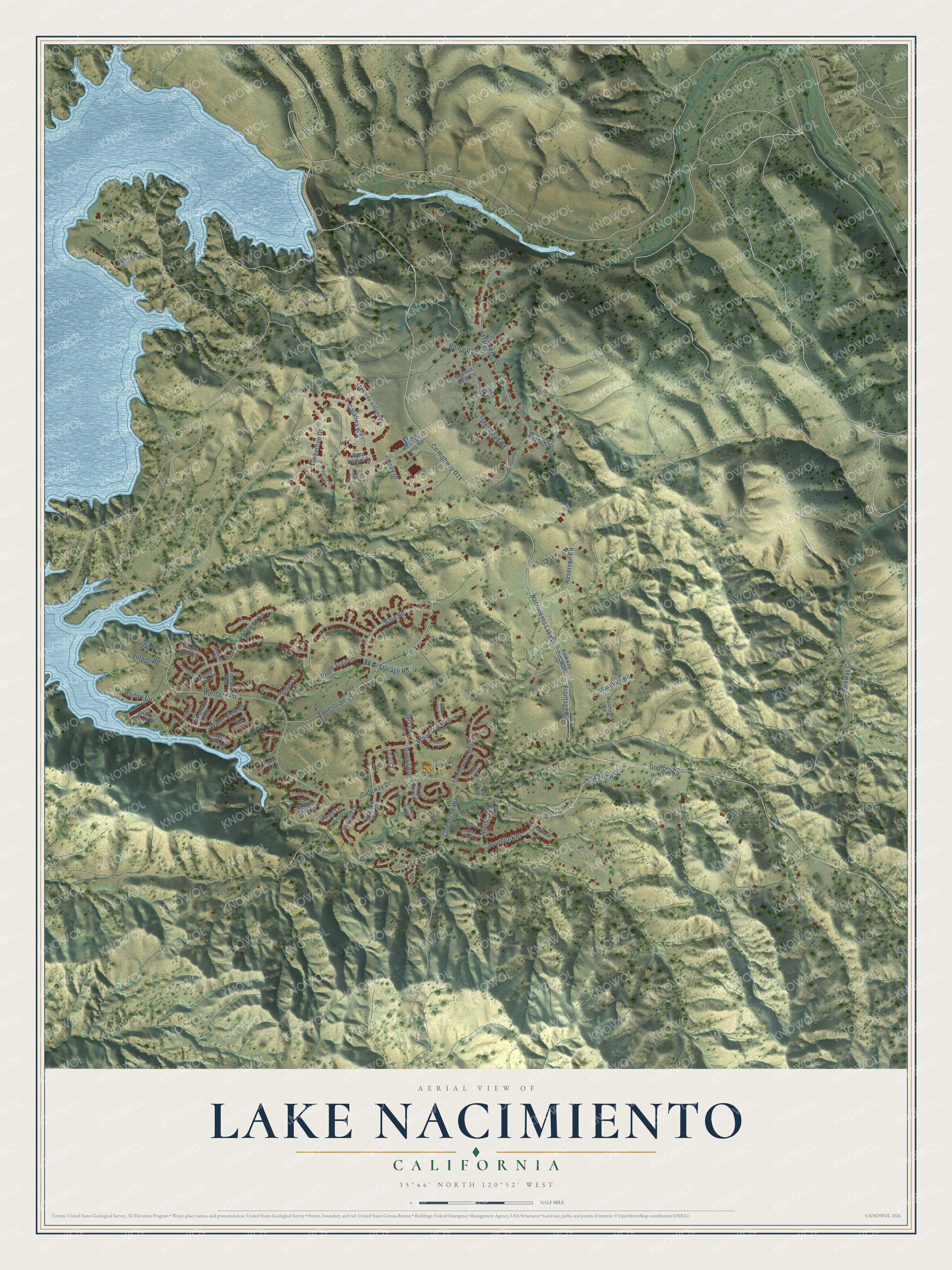
This beautifully detailed map of Lake Nacimiento, California was created in 2026 using aerial imagery combined with modern topographical, census, street and landmark data. It's a modern aerial view of Lake Nacimiento in San Luis Obispo County, California, that combines modern data with a vintage aesthetic. The roads feature printed names, and if you look closely you can find your exact house accurately shown in its correct location.
Explore an aerial view of Lake Nacimiento, California
On this map you'll find Southfork Place, Co Highway G14, Nacimiento Lake Drive, Godfrey Road, Gateway Drive, Heritage Road, Parkway Circle, Equestrian Road, Flyrod Drive, Frontage Road, Steelhead Road, Bridle Trail Lane, and more. Each red shape is a building, so zoom in on the preview and look for yours.
Every town has a first chapter, and Lake Nacimiento is no exception. Lake Nacimiento formed behind Nacimiento Dam, which the Monterey County Flood Control and Water Conservation District built in 1957 in northern San Luis Obispo County. When full, the lake covers 5,727 acres and holds 377,900 acre feet of water. A 324 square mile watershed of grazing land and rugged national forest and wilderness feeds the lake. That's from the San Luis Obispo County Flood Control District.
Lake Nacimiento is a community in San Luis Obispo County. The Census Bureau counted 2,956 people here in 2020.
Take a closer look at the Lake Nacimiento map
Names on this map
These names are printed on this map.
Streets and roads: Southfork Place, County Highway G14, Nacimiento Lake Drive, Godfrey Road, Gateway Drive, Heritage Road, Parkway Circle, Equestrian Road, Flyrod Drive, Frontage Road, Steelhead Road, Bridle Trail Lane.
More street names, A to Z
Barn Road, Bluebird Lane, Bluegill Drive, Blue Lupine Lane, Buck Tail Lane, Buggywhip Lane, Cascade Way, Catalina Way, Chaparral Lane, Comanche Way, Delaney Place, Eagle Point Lane, Edgewood Court, Egret Lane, Gray Fox Lane, Green Briar Lane, Green Brook Lane, Green Pine Lane, Harbor Circle, Heritage Loop Road, Holly Drive, Ibis Lane, Lakeside Village Drive, Lakeview Drive, Longview Lane, Meadow Lark Lane, Northfork Place, Park Road, Parkway Circle Drive, Partridge, Perch Lane, Pintail Avenue, Pinto Lane, Pretty Doe Lane, Reservoir Road, Resort Drive, Runnells Road, Saddle Back Lane, Sand Harbor Court, Shady Creek Drive, Skipjack, Skylink Lane, Sorrel Lane, Spotted Bass Lane, Storage Road, Sunfish Circle, Swan Lane, Teal Court, Timberline Drive, Tumbleweed Way, Valley Lane, Village Road, Water View Drive, Wild Rice Lane, Windmill Road, Windward Way, Wood Duck Lane.
See it on a wall
The Lake Nacimiento map as a framed print. Swipe for more.


Created by KNOWOL in 2026. The buildings are small red shapes, the roads carry their printed names, and shaded relief shows the shape of the land. The title panel reads "AERIAL VIEW OF LAKE NACIMIENTO, CALIFORNIA" with 35°44' NORTH 120°52' WEST.
Hang it in the hallway, the office or the cabin, or give it to someone who left Lake Nacimiento and still calls it home. Open the preview and look for a street you know. See sizes and frames for the Lake Nacimiento map.