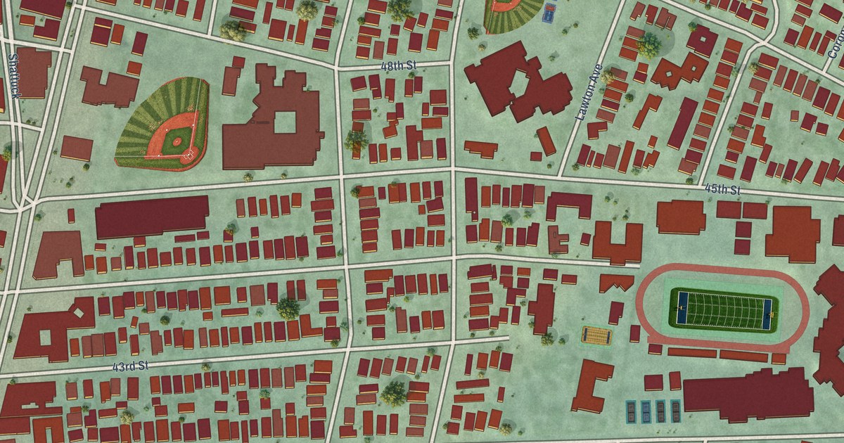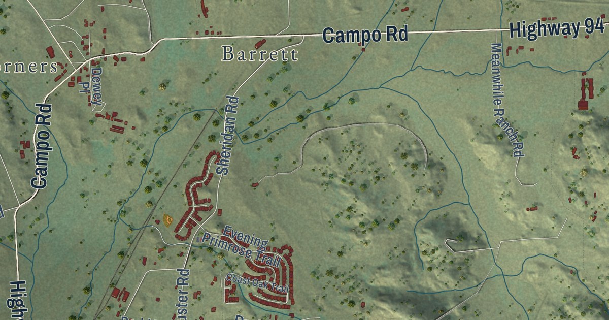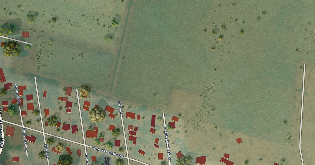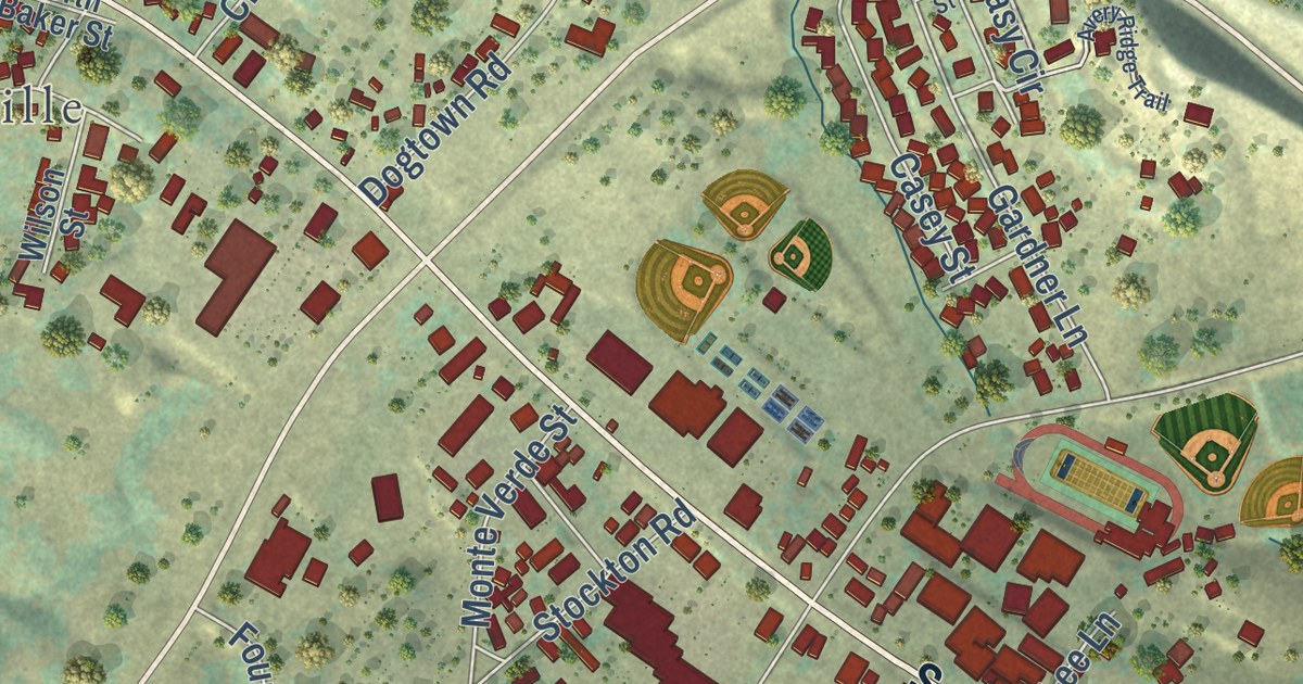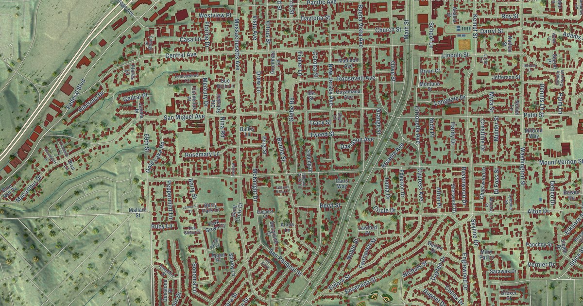
This beautifully detailed map of Lemon Grove, California was created in 2026 using aerial imagery combined with modern topographical, census, street and landmark data. It’s a one-of-a-kind view of Lemon Grove that combines accurate data with a vintage aesthetic. The map shows every building in its true location, many of the roads carry their names, and the shaded topographic relief shows the shape of the land.
Explore an aerial view of Lemon Grove, California
On the map you’ll find Lemon Grove City Hall and Broadway, along with 69th Street, Federal Boulevard, Blossom Lane, Citronella Avenue, Elkhorn Street, San Miguel Avenue, Ildica Street, Palm Street, Lemon Grove Avenue, Mount Vernon Street, and more. If you look closely you can even find your house accurately drawn in its correct location. Zoom in on the preview to look for yours.
Did you know this piece of Lemon Grove, California history?
From the City of Lemon Grove: "The City of Lemon Grove was incorporated in 1977 and officially became California’s 414th municipality on July 1, 1977."
Take a closer look at the Lemon Grove map
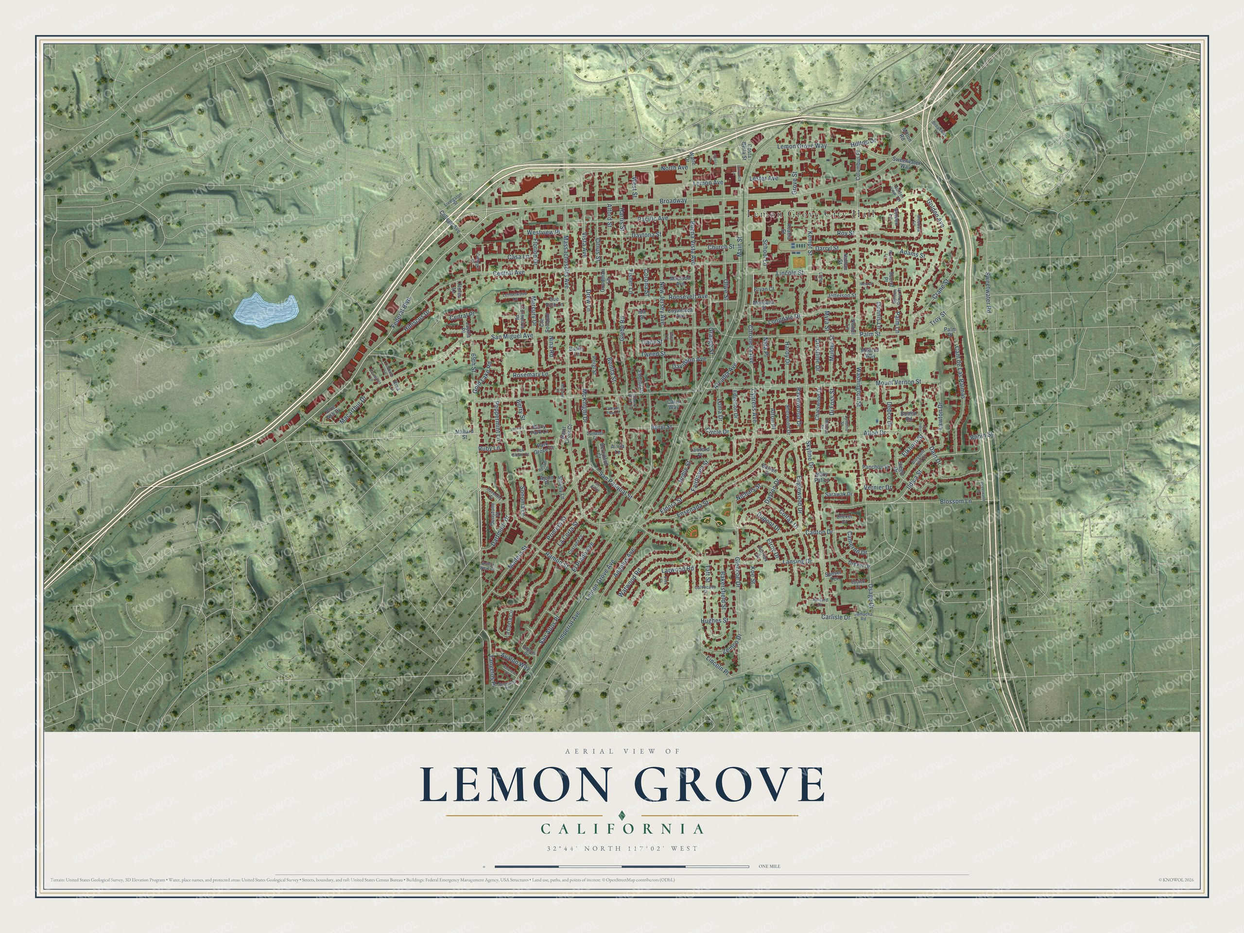
Street and place names on the Lemon Grove, California map
These names are printed on the map of Lemon Grove, California.
Places: Lemon Grove City Hall.
Streets and roads: Broadway, 69th Street, Federal Boulevard, Blossom Lane, Citronella Avenue, Elkhorn Street, San Miguel Avenue, Ildica Street, Palm Street, Lemon Grove Avenue, Mount Vernon Street, Massachusetts Avenue.
More street names, A to Z
Acacia Street, Adams Street, Ajohn Place, Alberdi Drive, Alford Street, Alicia Lane, Allison Lane, Alton Drive, Alton Place, Angelus Avenue, Arcadia Avenue, Arthur Neal Court, Avalon Way, Bakersfield Street, Balkis Lane, Barton Drive, Berryland Court, Berry Park Lane, Berry Street, Beryl Street, Blossom Hill Drive, Blue Ash Drive, Bonita Street, Bowen Road, Broadway Avenue, Broadway Lane, Bryan Court, Buena Vista Avenue, Calvocado Street, Cam de Las Palmas, Camelot Court, Cameron Drive, Canton Drive, Canyon View Lane, Carlisle Drive, Carls Way, Casa Lane, Cedral Place, Central Avenue, Chatswood Drive, Church Street, Circle Drive, Citronica Lane, Citrus Street, Cll Entre, Colfax Drive, College Avenue, College Place, Columbus Place, Cornelius Place, Corona Street, Costa Bella Street, Costada Court, Crane Street, Crestline Drive, Cte Soledad, Cuyamaca Avenue, Cypress Avenue, Dain Court, Dain Drive, Darryl Street, Dartmoor Drive, Davenport Lane, Daventry Street, Davidson Avenue, Daytona Street, Dayton Drive, Debco Drive, Dennis Lane, Denstone Place, Di Foss Street, Drew Lane, Drexel Court, Drexel Drive, Dupont Drive, Edding Drive, Edgerton Drive, Eldora Street, El Prado Avenue, Elroy Drive, Englewood Drive, Ensenada Street, Eppick Court, Fairfax Drive, Fairhaven Street, Fisher Lane, Flores Lane, Florine Drive, Glebe Road, Glencoe Drive, Golden Avenue, Golden Grove Place, Golden Lane, Golden View Terrace, Gold Lake Road, Goodman Lane, Grange Street, Grove Street, Hardy Drive, Harris Street, Hibiscus Drive, Hilltop Drive, Holliday Lane, Hughes Street, Ida Street, Iderdell Lane, Imperial Avenue, Jamacha Road, Jaynia Place, Jefferson Street, Kempf Street, Koe Street, La Corta Circle, La Corta Street, Lansing Drive, Larwood Road, Lawford Place, Lawton Drive, Lemon Avenue, Lemon Grove Way, Lemonwood Lane, Lerma's Court, Lester Avenue, Lincoln Place, Lincoln Street, Lindholm Lane, Little Lane, Livingston Street, Loma Drive, Longdale Drive, Lyndine Street, Macarthur Drive, Madera Street, Madison Avenue, Main Street, Mallard Street, Mary Pat Lane, McKnight Drive, Meadow Lane, Mercury Drive, Mildred Way, Milton Road, Montana Street, Morose Street, Mulder Street, Myra Street, Nathan Street, New Jersey Avenue, Nichals Street, Nida Place, Nina Road, Noble Street, Nomel Lane, North Avenue, Oak Glenn Court, Olive Street, Osage Drive, Pacific Avenue, Palm Lane, Palm Place, Panchoy Street, Park Grove Court, Peppermint Lane, Pergl Street, Primera Street, Ramon Street, Ravenwood Drive, Risa Lane, Robin Street, Roosevelt Avenue, Rosemary Lane, Roy Street, Ruby Lane, Russan Lane, Saint Croix Court, San Altos Place, Sanford Drive, San Pasqual Street, Sarawak Drive, School Lane, Secret Place, Shady Acre Lane, Sheri Lane, Sherwood Drive, Shirley Lane, Siegle Drive, Skyline Drive, Sonoma Lane, Sue Rich Lane, Sunset Terrace, Svea Court, Sweetwater Drive, Sweetwater Road, Sweetwater Way, Taft Street, Tangelos Place, Tracy Street, Troy Street, Tweed Street, Valencia Court, Vernier Drive, Vista Avenue, Waite Drive, Washington Street, Watwood Road, West Street, Westview Place, Wynell Lane, Zemco Drive.
See the Lemon Grove, California map on a wall
The Lemon Grove map as an 18 x 24 inch print in a black frame.

This beautifully detailed map of Lemon Grove makes an attractive addition to your office, library, or den, and it can even be used to teach children the geography and history of the area. It also makes a great gift for anyone with Lemon Grove roots. When you’re done exploring, click here to get your copy of the Lemon Grove map.