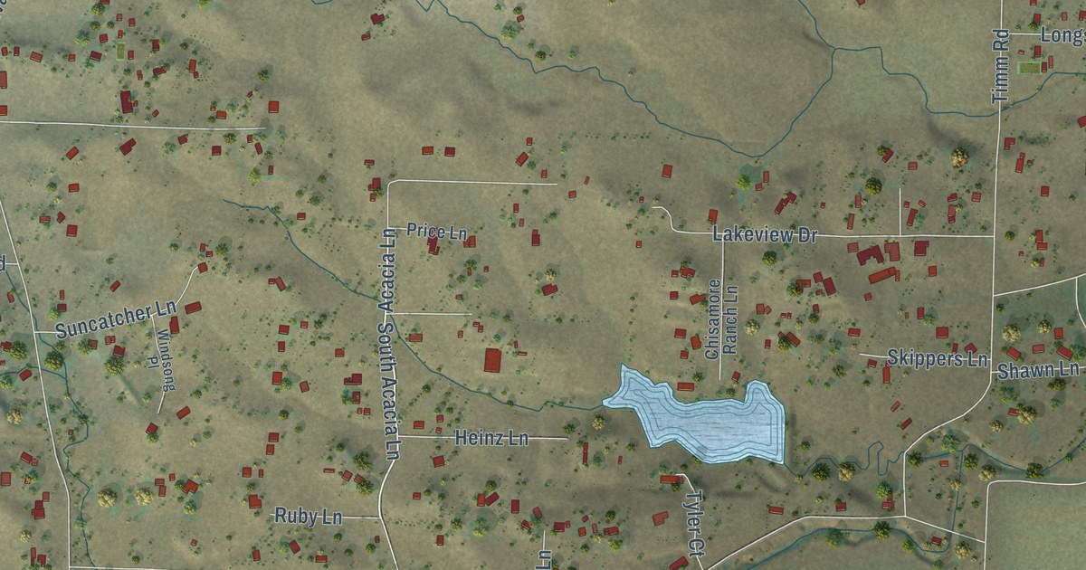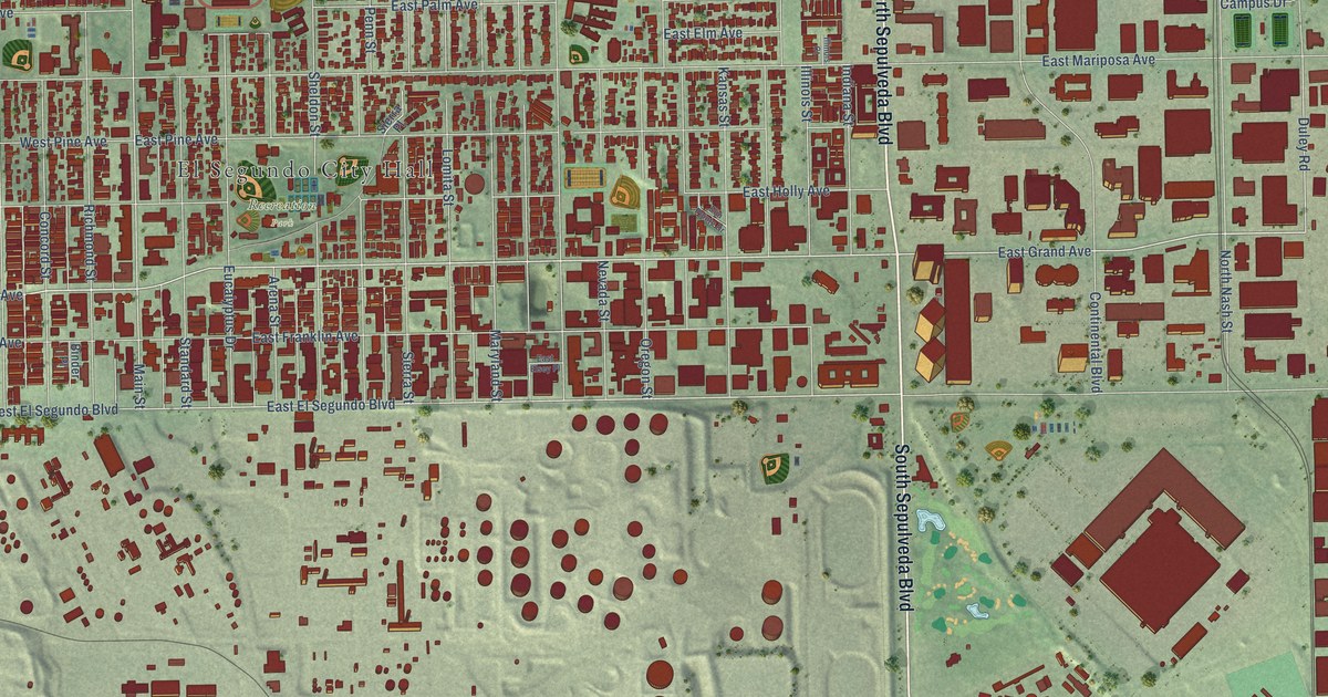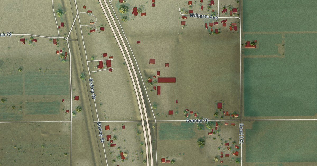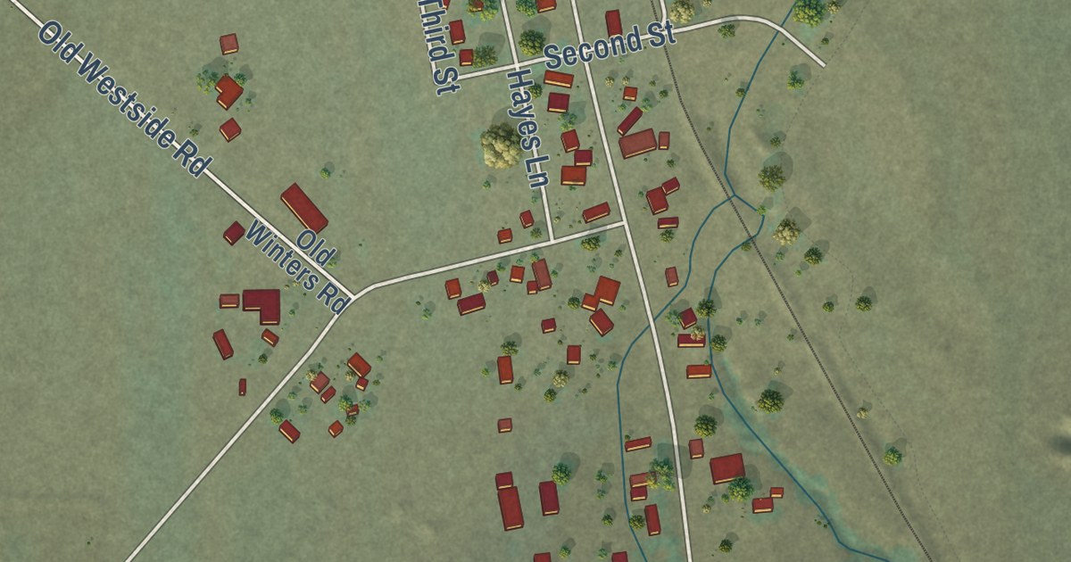
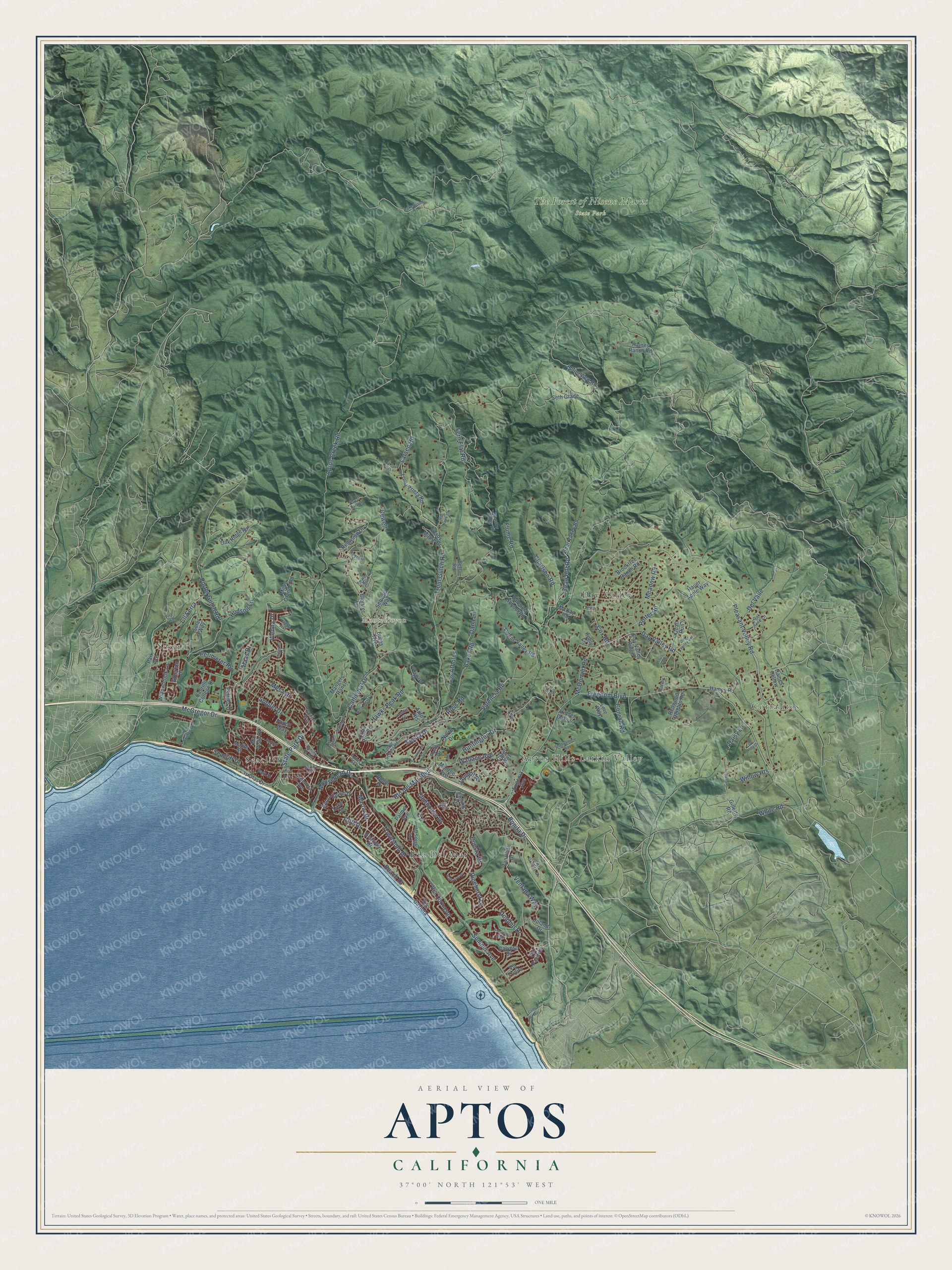
This beautifully detailed map of Aptos, California was created in 2026 using aerial imagery combined with modern topographical, census, street and landmark data. It’s a one-of-a-kind view of Aptos that combines accurate data with a vintage aesthetic. The map shows every building in its true location, many of the roads carry their names, and the shaded topographic relief shows the shape of the land.
Explore an aerial view of Aptos, California
On the map you’ll find Rob Roy Junction, Monte Toyon, and Polo Grounds Park, along with Newell Drive, Haas Drive, Polo Drive, Estates Drive, Aptos Creek Road, Mesa Grande Road, State Park Drive, Soquel Drive, Valencia Road, and more. If you look closely you can even find your house accurately drawn in its correct location. Zoom in on the preview to look for yours.
Did you know this about Aptos, California?
From Arcadia Publishing: "The most common belief is that Aptos translates to the meeting of two streams or some variation of that phrase."
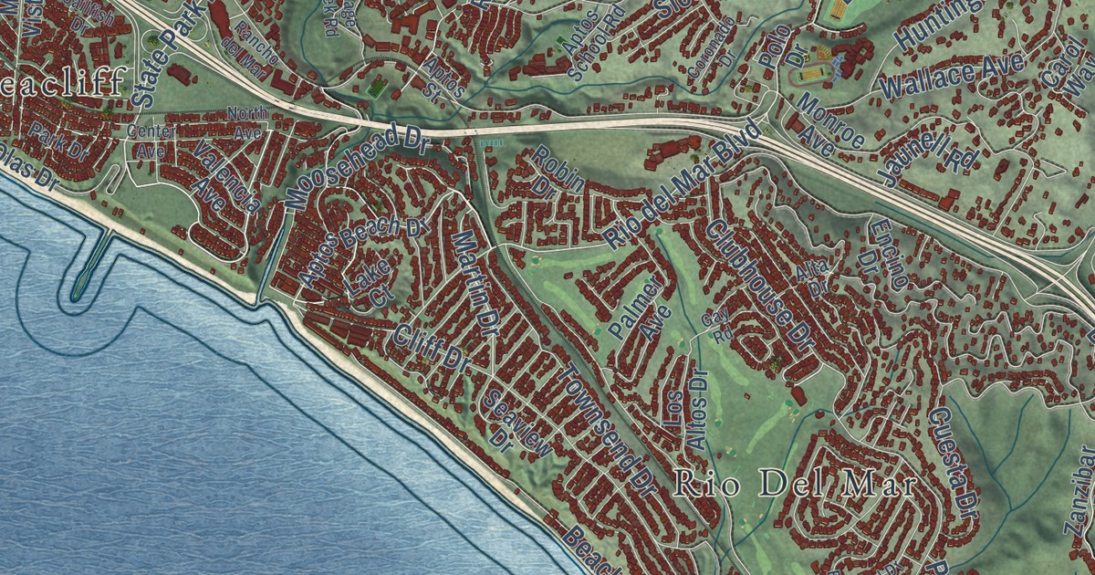
Take a closer look at the Aptos map
Street and place names on the Aptos, California map
These names are printed on the map of Aptos, California.
Places: Day Valley, Seacliff, Rio Del Mar, Aptos Hills-Larkin Valley, Soquel, Corralitos, Monte Toyon and The Forest of Nisene Marks State Park.
Streets and roads: Pleasant Valley Road, State Park Drive, Aptos Creek Road, Martin Drive, Haas Drive, Rio del Mar Boulevard, Freedom Boulevard, Day Valley Road, Seacliff Drive, Fern Flat Road, Trout Gulch Road, Soquel Drive.
More street names, A to Z
Alta Drive, Apple Lane, Aptos Beach Drive, Aptos Heights, Aptos School Road, Aptos Street, Aptos View Road, Atherton Drive, Awatos Road, Baker Road, Baltusrol Drive, Beach Drive, Bean Hill Road, Bear Valley Road, Bella Road, Bonita Drive, Brooktree Ranch Road, Burns Avenue, Cabrillo College Drive, Calypso Drive, Cam Al Mar, Carol Way, Cathedral Drive, Center Avenue, Charlson Road, Cheryl Way, Cliff Drive, Cll Serra, Cloister Lane, Clubhouse Drive, Conrad Road, Coronado Drive, Cox Road, Cuesta Drive, Daisy Lane, Dana Lane, Day Valley Ridge, Day Valley Vw, Del Valle, Dolphin Drive, Elvis Lane, Encino Drive, Estates Drive, Eugenia Avenue, Fire Road, Flume Road, Forest Park Lane, Gay Road, Gillette, Gillette Road, Glen Brae, Haines Ranch Road, Hames Hollow, Hames Road, Hauer Apple Way, Hawks Peak Road, Hidden Oaks Lane, Hudson Lane, Huntington Drive, Jaunell Road, Jennifer Drive, King Krest Lane, La Hai Roi Lane, Lake Court, Lakewood Road, Larsen Road, Las Olas Drive, La Vida Drive, Leslie Lane, Loma Prieta Road, Lore Way, Los Altos Drive, Los Arboles, Lupine Valley Road, Mangels Ranch, Maple Street, Mar Vista Drive, Mattison Lane, McDonald Road, McGregor Drive, McKay Road, Meadow Road, Mesa Drive, Mesa Grande Road, Monroe Avenue, Moosehead Drive, New Brighton Road, Newell, Newell Drive, North Avenue, North Drive, Oak Ridge Road, Oak Tree Lane, Palmer Avenue, Park Avenue, Park Drive, Perimeter Road, Petery Lane, Pinehurst Drive, Polo Drive, Poppy Way, Porter Gulch Road, Potter Road, Quail Run, Quail Run Road, Rancho del Mar, Red Hawk Lane, Redwood Drive, Redwood Heights Road, Robin Drive, Ross Road, Sailfish Drive, Seascape Boulevard, Seaview Drive, Sequoia Way, Seth Grade, Shadowmere Way, Shady Maple Drive, Siesta Drive, Skyward Drive, Solar Way, Sparrow Valley Road, Sumner Avenue, Sunset Way, Townsend Drive, Uplands Drive, Valencia Avenue, Valencia Road, Valencia School Road, Ventana Way, Via Gaviota, Via Pacifica, Via Tornasol, Via Trinita, Victoria Lane, Vienna Drive, View Court, Village Creek Road, Vista Grande Drive, Wallace Avenue, White Road, Willowbrook Lane, Willow Heights, Zanzibar Drive.
See the Aptos, California map on a wall
The Aptos map as an 18 x 24 inch print in a black frame.

This beautifully detailed map of Aptos makes an attractive addition to your office, library, or den, and it can even be used to teach children the geography and history of the area. It also makes a great gift for anyone with Aptos roots. When you’re done exploring, click here to get your copy of the Aptos map.