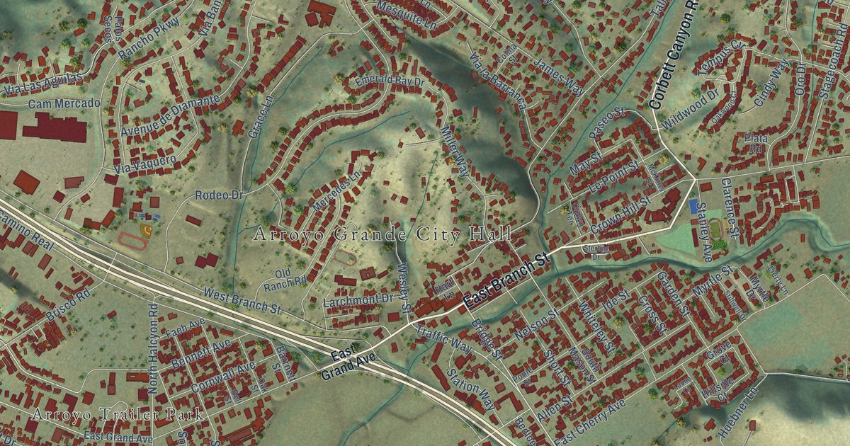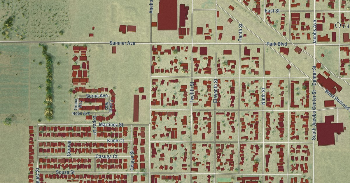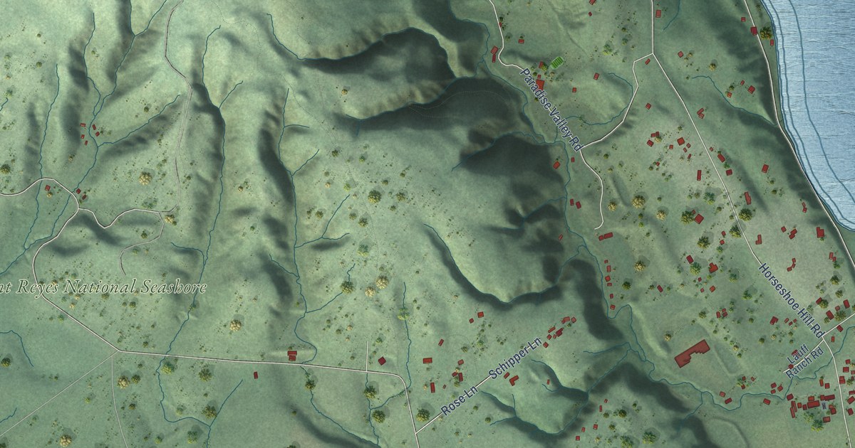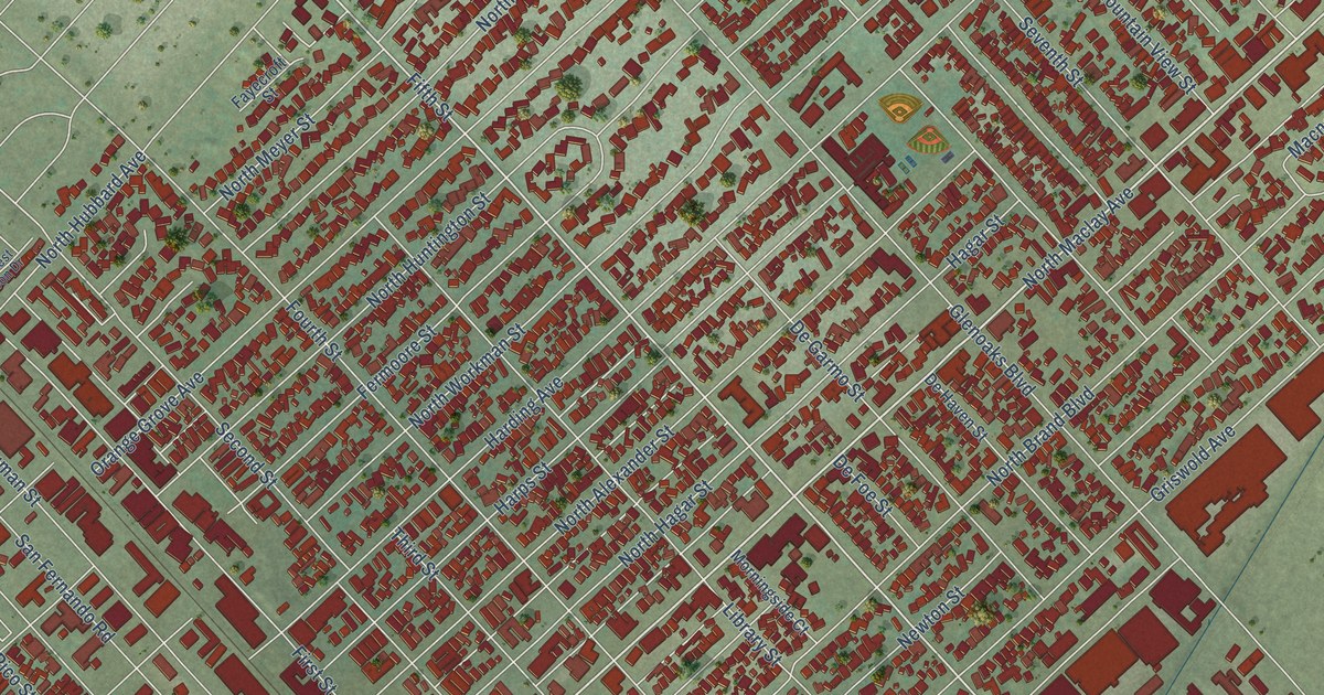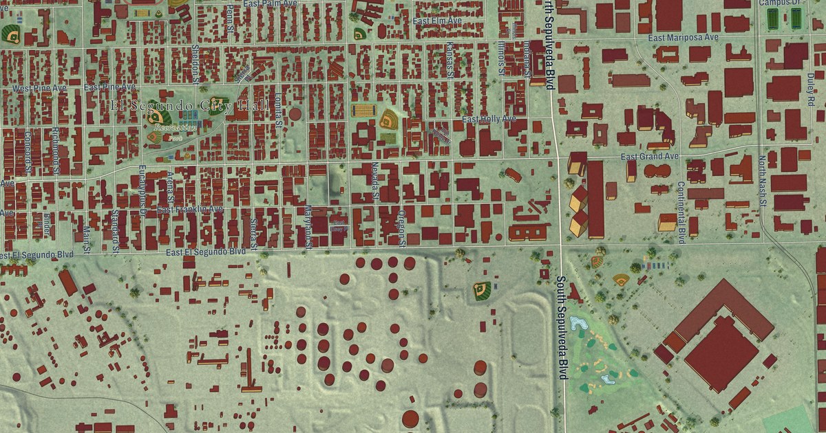
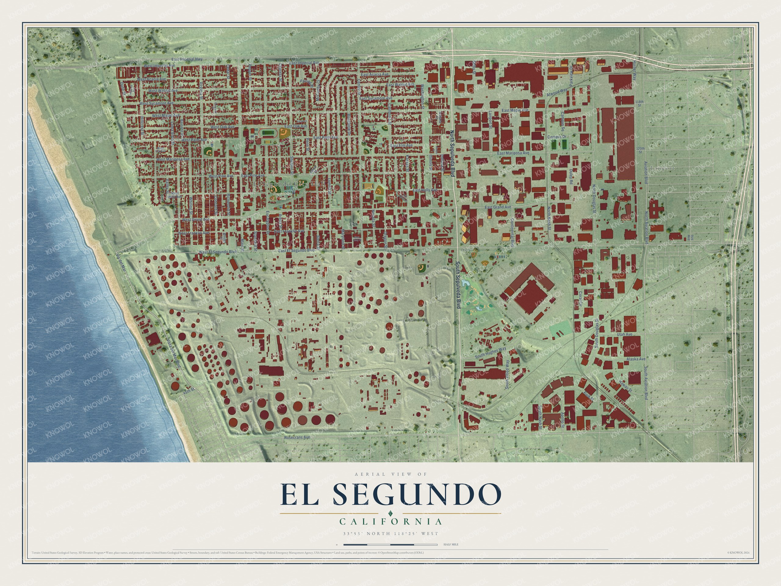
This beautifully detailed map of El Segundo, California was created in 2026 using aerial imagery combined with modern topographical, census, street and landmark data. It's a modern aerial view of El Segundo in Los Angeles County, California, that combines modern data with a vintage aesthetic. The roads feature printed names, and if you look closely you can find your exact house accurately shown in its correct location.
Explore an aerial view of El Segundo, California
On this map you'll find El Segundo City Hall, Lairport, Recreation Park, North Sepulveda Boulevard, South Sepulveda Boulevard, Rosecrans Avenue, South Aviation Boulevard, Vista del Mar Boulevard, West Grand Avenue, North Aviation Boulevard, East Grand Avenue, East El Segundo Boulevard, and more. Each red shape is a building, so zoom in on the preview and look for yours.
El Segundo is a city in Los Angeles County. The Census Bureau counted 17,272 people here in 2020. The map prints the town name in its title panel, with the coordinates below it.
Take a closer look at the El Segundo map
Names on this map
These names are printed on this map.
Places: El Segundo City Hall, Lairport and Recreation Park.
Streets and roads: North Sepulveda Boulevard, South Sepulveda Boulevard, Rosecrans Avenue, South Aviation Boulevard, Vista del Mar Boulevard, West Grand Avenue, North Aviation Boulevard, East Grand Avenue, East El Segundo Boulevard, Main Street, Aviation Boulevard, Duley Road.
More street names, A to Z
45th Street, 118th Street, 120th Street, Alaska Avenue, Apollo Street, Arena Street, Atwood Way, Bayonne Street, Binder Place, Bungalow Drive, California Street, Campus Drive, Campus Square, Cedar Street, Center Street, Concord Place, Concord Street, Continental Boulevard, Coral Circle, Cypress Street, Dune Street, East Acacia Avenue, East Elm Avenue, East Elsey Place, East Franklin Avenue, East Holly Avenue, East Imperial Avenue, East Imperial Highway, East Maple Avenue, East Mariposa Avenue, East Oak Avenue, East Palm Avenue, East Pine Avenue, East Sycamore Avenue, East Walnut Avenue, Elin Pointe Drive, Eucalyptus Drive, Fairing Place, Hawaii Street, Hillcrest Street, Hornet Way, Illinois Court, Illinois Street, Indiana Court, Indiana Street, Irene Court, Isis Avenue, Kansas Street, Lairport Street, Loma Vista Street, Lomita Street, Maryland Street, McCarthy Court, Nevada Street, North Douglas Street, North Nash Street, Oregon Street, Park Place, Parkview Drive, Penn Street, Pepper Street, Redwood Avenue, Richmond Street, Selby Street, Sheldon Street, Sierra Place, Sierra Street, South Allied Way, South Douglas Street, South Hughes Way, South Nash Street, Standard Street, Utah Avenue, Valley Street, Virginia Street, Vis del Mar, Washington Street, West Acacia Avenue, West Elm Avenue, West El Segundo Boulevard, West Franklin Avenue, West Holly Avenue, West Imperial Avenue, West Maple Avenue, West Mariposa Avenue, West Oak Avenue, West Palm Avenue, West Pine Avenue, West Sycamore Avenue, West Walnut Avenue, Whiting Street.
Created by KNOWOL in 2026. The buildings are small red shapes, the roads carry their printed names, and shaded relief shows the shape of the land. The title panel reads "AERIAL VIEW OF EL SEGUNDO CALIFORNIA" with 33°55' NORTH 118°25' WEST.
It suits a den, a classroom or a front hall, and it makes a gift for anyone with El Segundo roots. Open the preview and find the block you know. See sizes and frames for the El Segundo map.