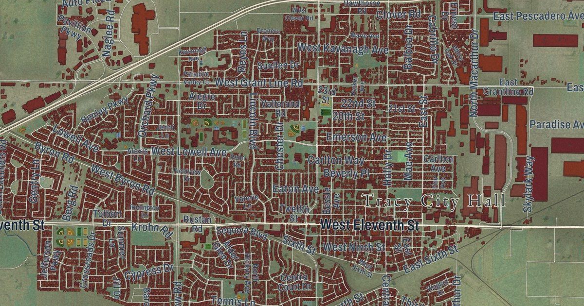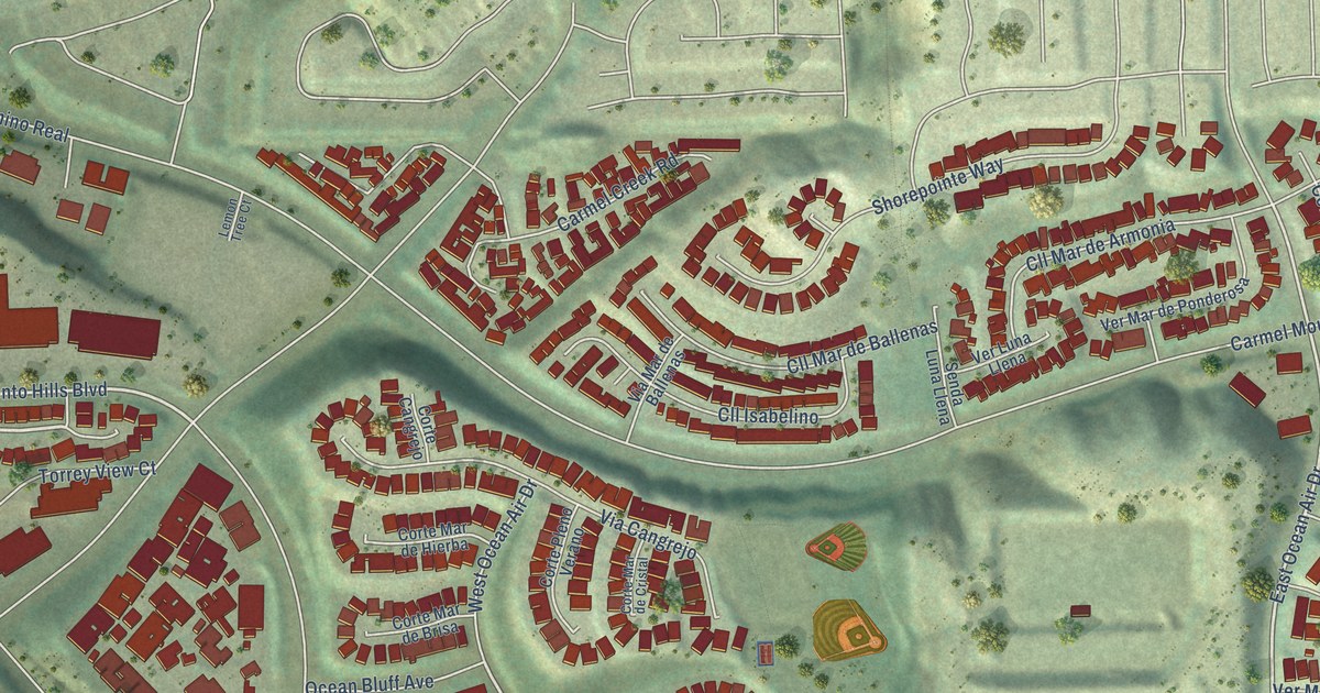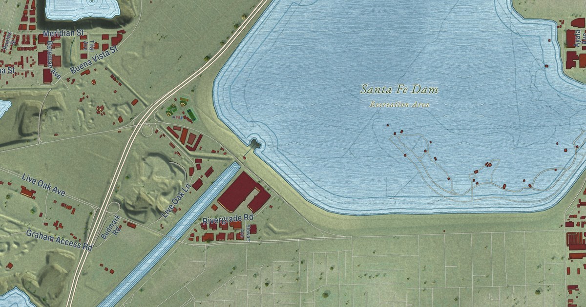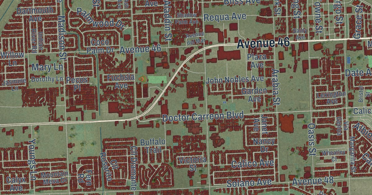
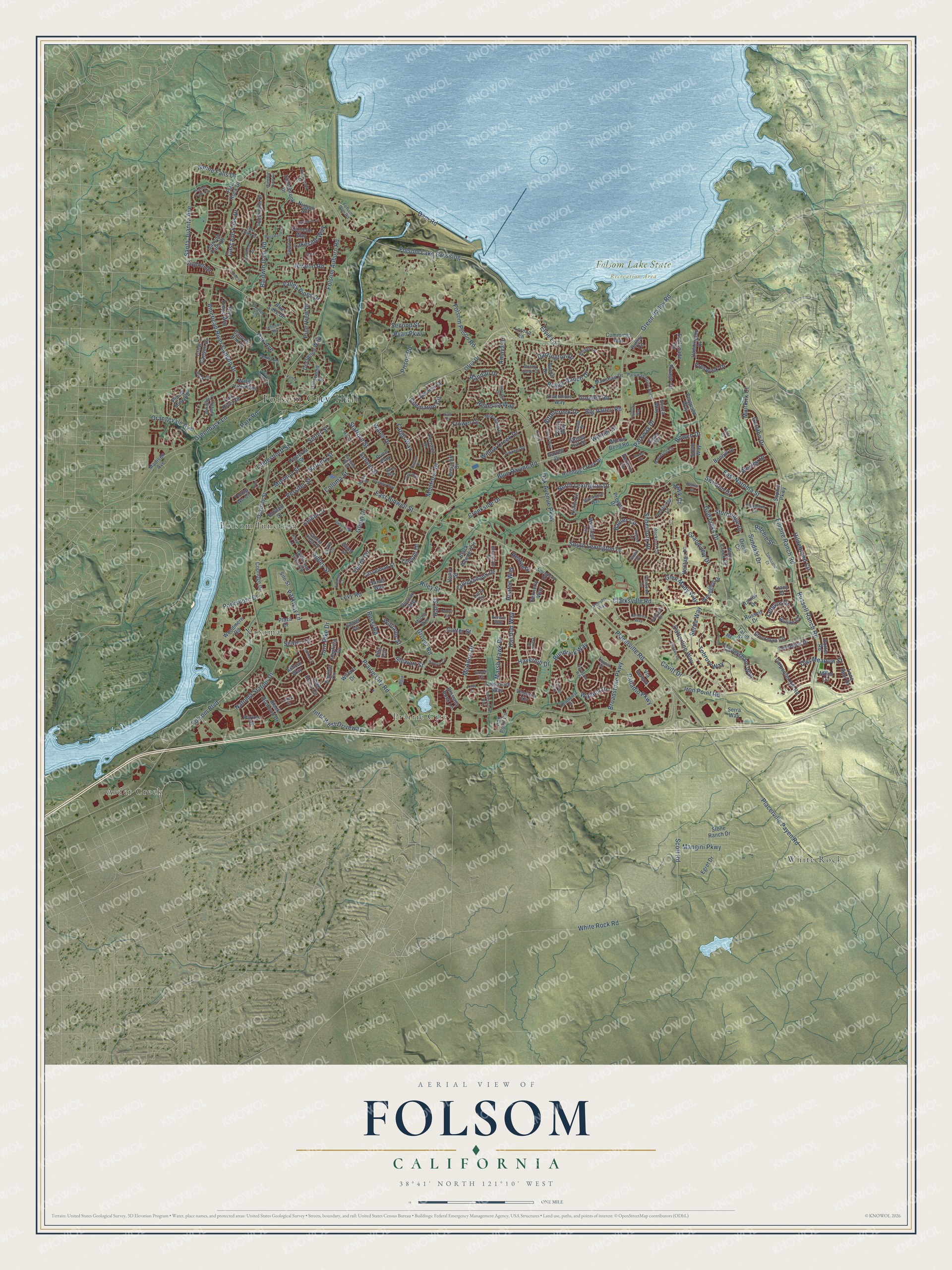
This beautifully detailed map of Folsom, California was created in 2026 using aerial imagery combined with modern topographical, census, street and landmark data. It’s a one-of-a-kind view of Folsom that combines accurate data with a vintage aesthetic. The map shows every building in its true location, many of the roads carry their names, and the shaded topographic relief shows the shape of the land.
Explore an aerial view of Folsom, California
On the map you’ll find Folsom City Hall, Folsom Lake State Recreation Area, Alder Creek, Folsom Junction, Natoma, Prairie City, and White Rock, along with East Natoma Street, Green Valley Road, Folsom Prison Road, Creekside Drive, Park Road, and more. If you look closely you can even find your house accurately drawn in its correct location. Zoom in on the preview to look for yours.
Did you know this piece of Folsom, California history?
From Ohp.parks.ca.gov: "During its first few months, the express mail had been run by pony to and from Sacramento, but beginning July 1, 1860, the Sacramento Valley Railroad carried it between Sacramento and Folsom until Placerville was made the terminus."
Take a closer look at the Folsom map
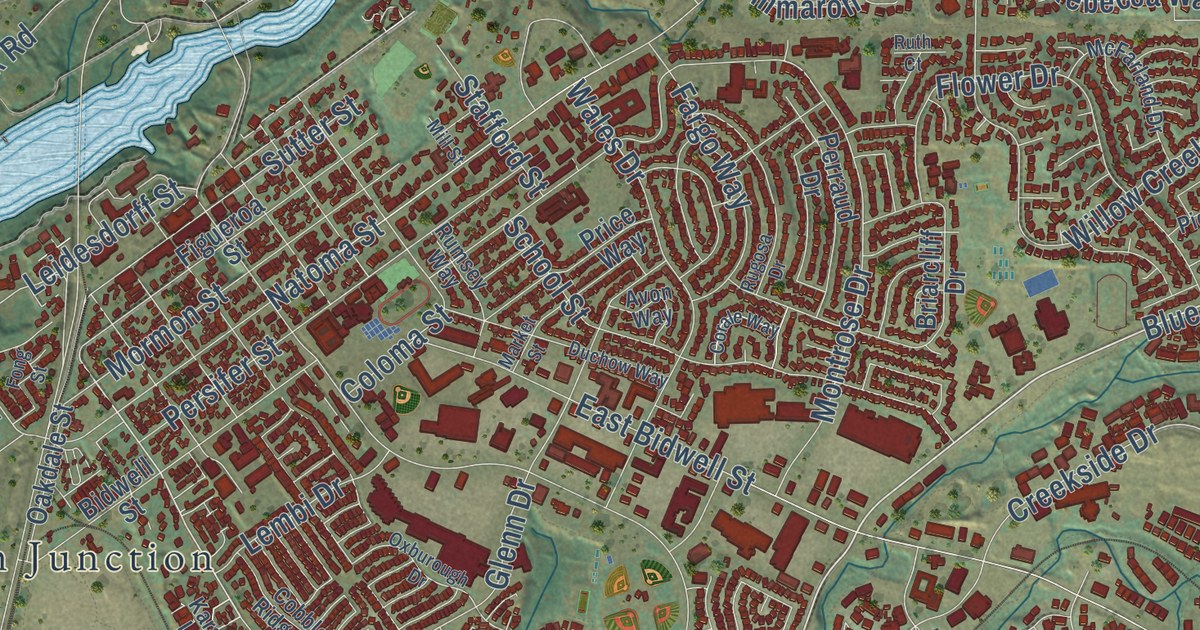
Street and place names on the Folsom, California map
These names are printed on the map of Folsom, California.
Places: Folsom City Hall, Folsom Lake State Recreation Area, Alder Creek, White Rock, Natoma, Folsom Junction and Prairie City.
Streets and roads: East Natoma Street, Blue Ravine Road, Green Valley Road, Caples Drive, Sibley Street, Reston Drive, Parkshore Drive, Iron Point Road, Folsom Boulevard, Oak Avenue Parkway, White Rock Road, East Bidwell Street.
More street names, A to Z
Albrighton Drive, Alpine Falls Drive, Amaya Drive, American River Canyon Drive, Ashcat Way, Avon Way, Baldwin Dam Road, Baldwin Lake Circle, Ballou Circle, Baurer Circle, Bayline Circle, Belmar Court, Bidwell Street, Big Valley Road, Bittercreek Drive, Black Diamond Drive, Black Powder Circle, Blossom Rock Lane, Blue Lake Drive, Bluestone Circle, Bonhill Drive, Bowen Drive, Brae Court, Briarcliff Drive, Briggs Ranch Drive, Broadstone Parkway, Brock Circle, Broder Circle, Buck Circle, Buckingham Way, Buljan Court, Bundrick Way, Burma Road, Burrill Drive, Canyon Falls Drive, Canyon Rim Drive, Carmody Circle, Carpenter Hill Road, Carter Street, Cascade Falls Drive, Casselman Street, Catterline Way, Caversham Way, Cavitt Drive, Cedar Circle, Cimmaron Circle, Clarksville Road, Cobble Ridge Drive, Coloma Street, Coolidge Drive, Corale Way, Creekside Drive, Crow Canyon Drive, Cruickshank Drive, Cummings Way, Dam Road, Danielle Way, Darrington Drive, Deerwood Way, Densmore Way, Diamond Glen Circle, Duchow Way, Duncan Way, Dyrell Way, Egloff Circle, Egret Drive, Elkins Circle, Ellis Circle, Elvie Lane, Empire Ranch Road, Esplanade Circle, Fall River Drive, Fargo Way, Feather Falls Circle, Fenceline Drive, Fergusen Way, Figueroa Street, Fisher Circle, Flat Rock Drive, Flower Drive, Folsom Auburn Road, Folsom Dam Road, Folsom Lake Crossing, Folsom Prison Road, Folsom Ranch Drive, Fong Street, Freese Court, Freswick Drive, Gable Street, Galston Drive, Garrett Drive, Given Street, Glen Mady Way, Glenn Drive, Golf Links Drive, Goodell Road, Grandview Drive, Greenback Lane, Grover Road, Haddington Drive, Halidon Way, Hall Street, Hancock Drive, Hansen Circle, Harter Drive, Haverhill Drive, Hawk Court, Heaton Way, Henry Street, Heritage Place, Hildebrand Circle, Hillswick Circle, Hillswood Drive, Hopfield Drive, Hopper Lane, Humbug Creek Drive, Intel West Driveway, Inwood Road, Iron Point Circle, John Henry Circle, Karat Lane, Keller Circle, Kennerly Way, Kerwin Way, Kidder Way, Kirby Court, Lakeside Way, Landrise Court, Larkin Circle, Latherton Way, Lefevre Drive, Leidesdorff Street, Lembi Drive, Levy Road, Listowe Drive, Livermore Way, Lone Spur Drive, Lorena Lane, Lost Creek Drive, Luna Circle, Madison Avenue, Manasco Circle, Mangini Parkway, Manseau Drive, Market Street, Marsh Hawk Drive, McAdoo Drive, McFarland Drive, Mill Street, Montrose Drive, Moon Circle, Mormon Street, Morton Way, Mosswood Circle, Muirkirk Court, Natoma Station Drive, Natoma Street, North Lexington Drive, Nugget Drive, Oak Avenue, Oakdale Street, Ofria Drive, Orangevale Avenue, Oreno Circle, Overbrook Drive, Owl Meadow Street, Oxburough Drive, Oxleigh Way, Palladio Parkway, Palmer Circle, Parker Drive, Park Road, Parkway Drive, Parkway Drive North, Parkway Lane, Penwood Lane, Pepito Way, Perazzo Circle, Perraud Drive, Persifer Street, Pine View Drive, Pioneer Drive, Placer Mine Road, Placerville Payen Road, Placerville Road, Plaza Drive, Plum Creek Court, Porter Road, Prairie City Road, Prewett Drive, Price Way, Prison Road, Ramos Drive, Randall Drive, Raymond Lane, Rebecca Way, Riley Street, Ritchie Street, Rivage Circle, River Ridge Way, Rockport Circle, Rocky Cove Court, Rowberry Drive, Rugosa Drive, Rumsey Way, Rundgren Way, Russell Drive, Russell Ranch Road, Russi Road, Ruth Court, Ryan Parkway, Sands Way, Santa Juanita Avenue, Scholar Way, School Street, Scott Road, Seaton Drive, Second Street, Serpa Way, Serra Way, Silberhorn Drive, Silo Street, Simmons Way, Singer Lane, Smith Way, Sophia Parkway, South Lexington Drive, Souza Way, Spencer Street, Stafford Street, Stewart Street, Stockman Circle, Stonebrook Drive, Stone Ranch Drive, Stoney Hill Drive, Stonington Way, Sturbridge Drive, Sundahl Drive, Sutter Street, Swain Square, Swinton Drive, Talon Street, Tarbolton Circle, Taupin Court, Thurman Way, Timson Drive, Tobrury Way, Tomlinson Drive, Toney Court, Townsend Court, Tracy Court, Triplet Lane, Trowbridge Lane, Turn Pike Drive, Valley Pines Drive, Vance Lane, Vessona Circle, Via Serena, Vierra Circle, Walden Drive, Wales Drive, Water View Way, Wellfleet Circle, Wesley Drive, Willard Drive, Williams Street, Willow Bend Road, Willow Creek Drive, Winding Canyon Lane, Witmer Drive, Woodglen Drive, Woodmere Road, Yankton Street, Young Wo Circle.
See the Folsom, California map on a wall
The Folsom map as an 18 x 24 inch print in a black frame.

This beautifully detailed map of Folsom makes an attractive addition to your office, library, or den, and it can even be used to teach children the geography and history of the area. It also makes a great gift for anyone with Folsom roots. When you’re done exploring, click here to get your copy of the Folsom map.