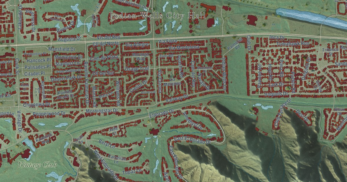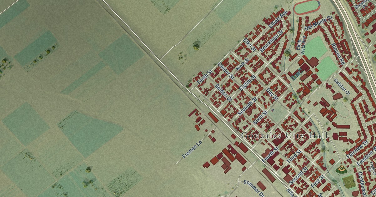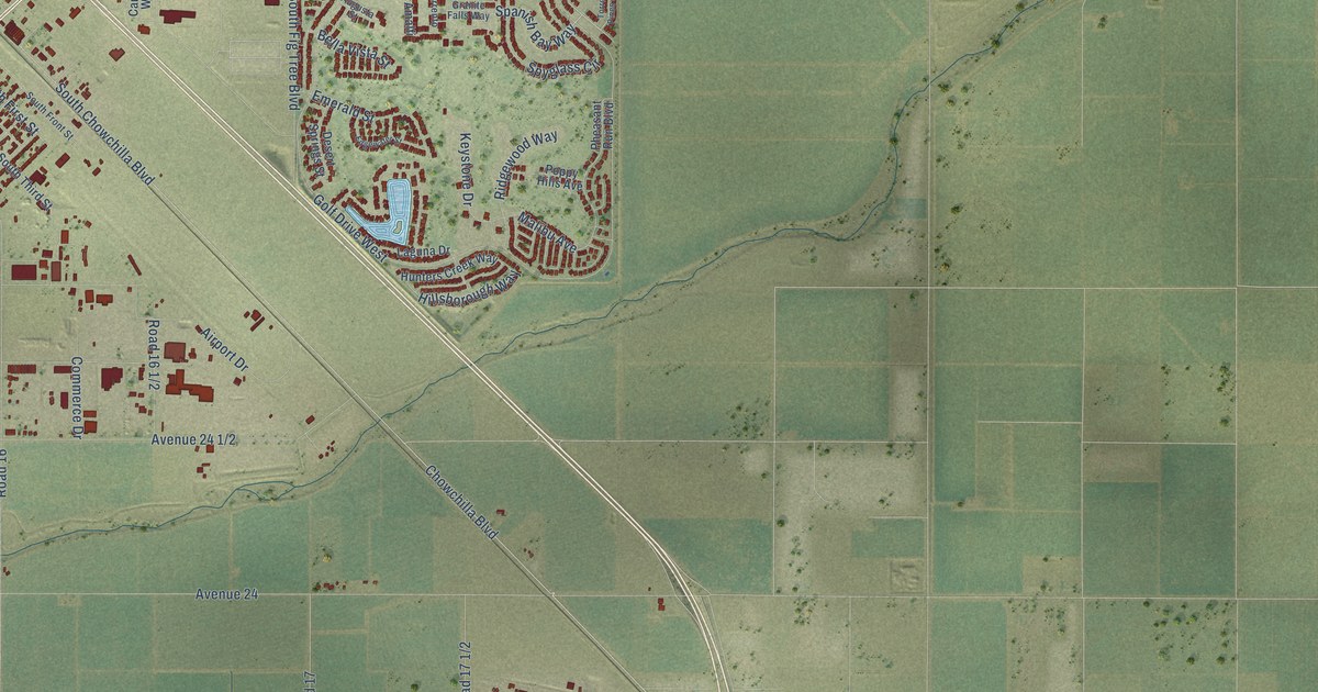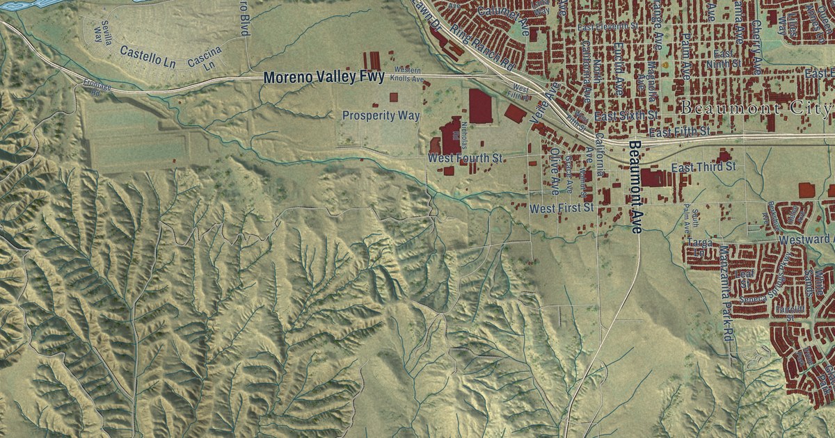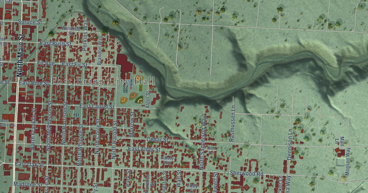
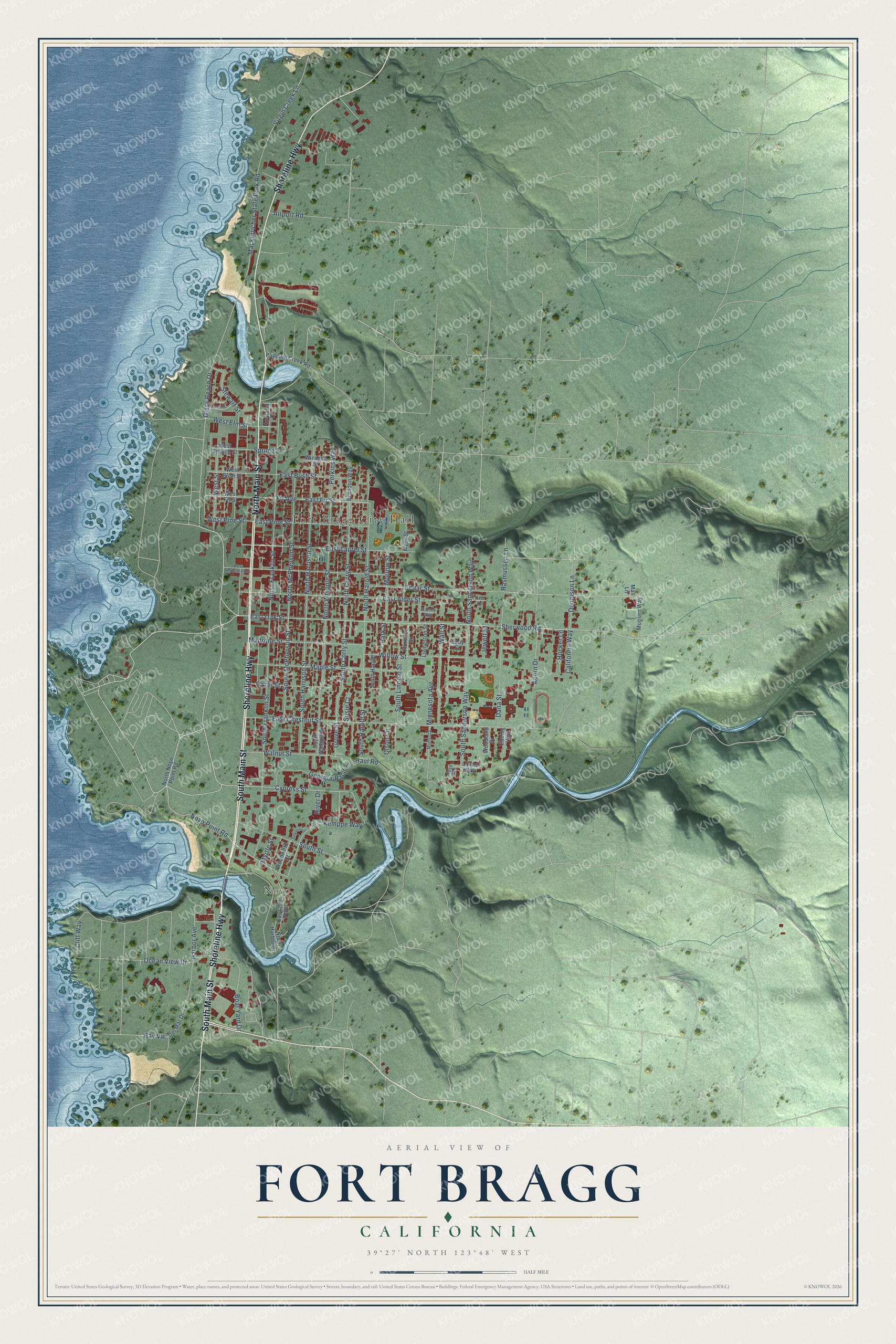
This beautifully detailed map of Fort Bragg, California was created in 2026 using aerial imagery combined with modern topographical, census, street and landmark data. It's a modern aerial view of Fort Bragg in Mendocino County, California, that combines modern data with a vintage aesthetic. The roads feature printed names, and if you look closely you can find your exact house accurately shown in its correct location.
Explore an aerial view of Fort Bragg, California
On this map you'll find Fort Bragg City Hall, Noyo, South Main Street, Shoreline Highway, North Main Street, Noyo Point Road, East Oak Street, Cypress Street, Hocker Lane, Dennison Lane, Minnesota Avenue, Mackerricher State Park Road, and more. Each red shape is a building, so zoom in on the preview and look for yours.
Here is a piece of Fort Bragg history, in the words of the record. The record at ohp.parks.ca.gov puts it this way: "The fort was established in this vicinity June 11, 1857 by 1st Lieutenant (later Brigadier General) Horatio Gates Gibson, 3rd Artillery, U."
Fort Bragg is a city in Mendocino County. The Census Bureau counted 6,983 people here in 2020.
Take a closer look at the Fort Bragg map
Names on this map
These names are printed on this map.
Places: Fort Bragg City Hall and Noyo.
Streets and roads: South Main Street, Shoreline Highway, North Main Street, Noyo Point Road, East Oak Street, Cypress Street, Hocker Lane, Dennison Lane, Minnesota Avenue, Mackerricher State Park Road, Harbor Avenue, Glass Beach Drive.
More street names, A to Z
Acorn Drive, Airport Road, Alger Street, Bay Vw, Boat Yard Drive, Brandon Way, California Way, Casa del Noyo, Cedar Street, Cliff Way, Dana Street, Del Mar Drive, East Alder Street, East Bush Street, East Chestnut Street, East Fir Street, East Laurel Street, East Pine Street, Ebbing Way, Eddy Street, Fir Avenue, Florence Street, Georgia-Pacific ---Haul Road, Grove Street, Halsey Way, Hazel Street, Holms Lane, Howland Court, Jewett Street, Kemppe Way, Livingston Street, Lonne Way, Madrone Street, Mall Lane, Maple Street, Minisota, Monsen Way, Morrow Street, Myrtle Street, Ness Avenue, North Corry Street, North Franklin Street, North Harbor Drive, North Harold Street, North Harrison Street, North McPherson Street, North Noyo Point Road, North Sanderson Way, North Whipple Street, Noyo Heights, Ocean View Drive, Olson Lane, Park Street, Perkins Way, Pudding Creek Road, Rasmussen Lane, River Drive, Sequoia Circle, Sherwood Road, South Corry Street, South Franklin Street, South Harold, South Harold Street, South Harrison Street, South Lincoln Street, South McPherson Street, South Sanderson Way, South Street, South Whipple Street, Spruce Street, Stewart Street, Susie Court, Virgin Creek Lane, Wall Street, Walnut Street, West Bush Street, West Elm Street, West Fir Street, West Pine Street, West Redwood Avenue, West Spruce Street, West Street, Willow Street, Winifred Street, Woodland Drive, Woodward Street.
Created by KNOWOL in 2026. The buildings are small red shapes, the roads carry their printed names, and shaded relief shows the shape of the land. The title panel reads "AERIAL VIEW OF FORT BRAGG CALIFORNIA" with 39°27' NORTH 123°48' WEST.
It suits a den, a classroom or a front hall, and it makes a gift for anyone with Fort Bragg roots. Open the preview and find the block you know. See sizes and frames for the Fort Bragg map.