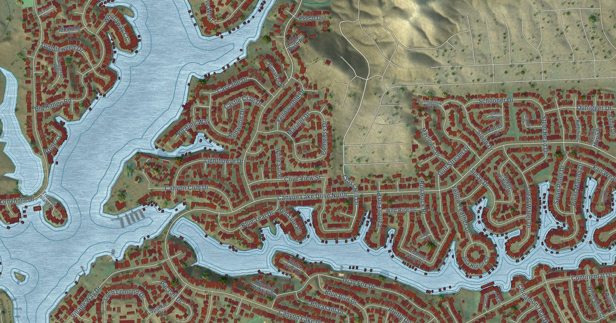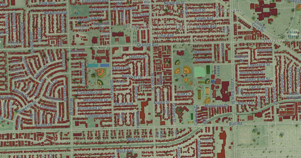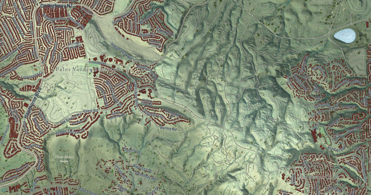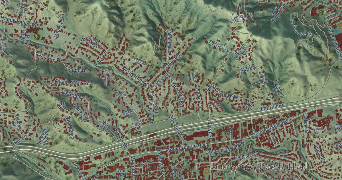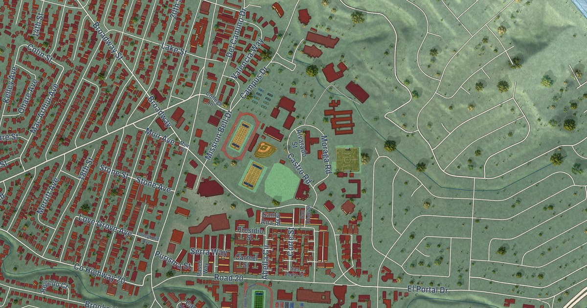
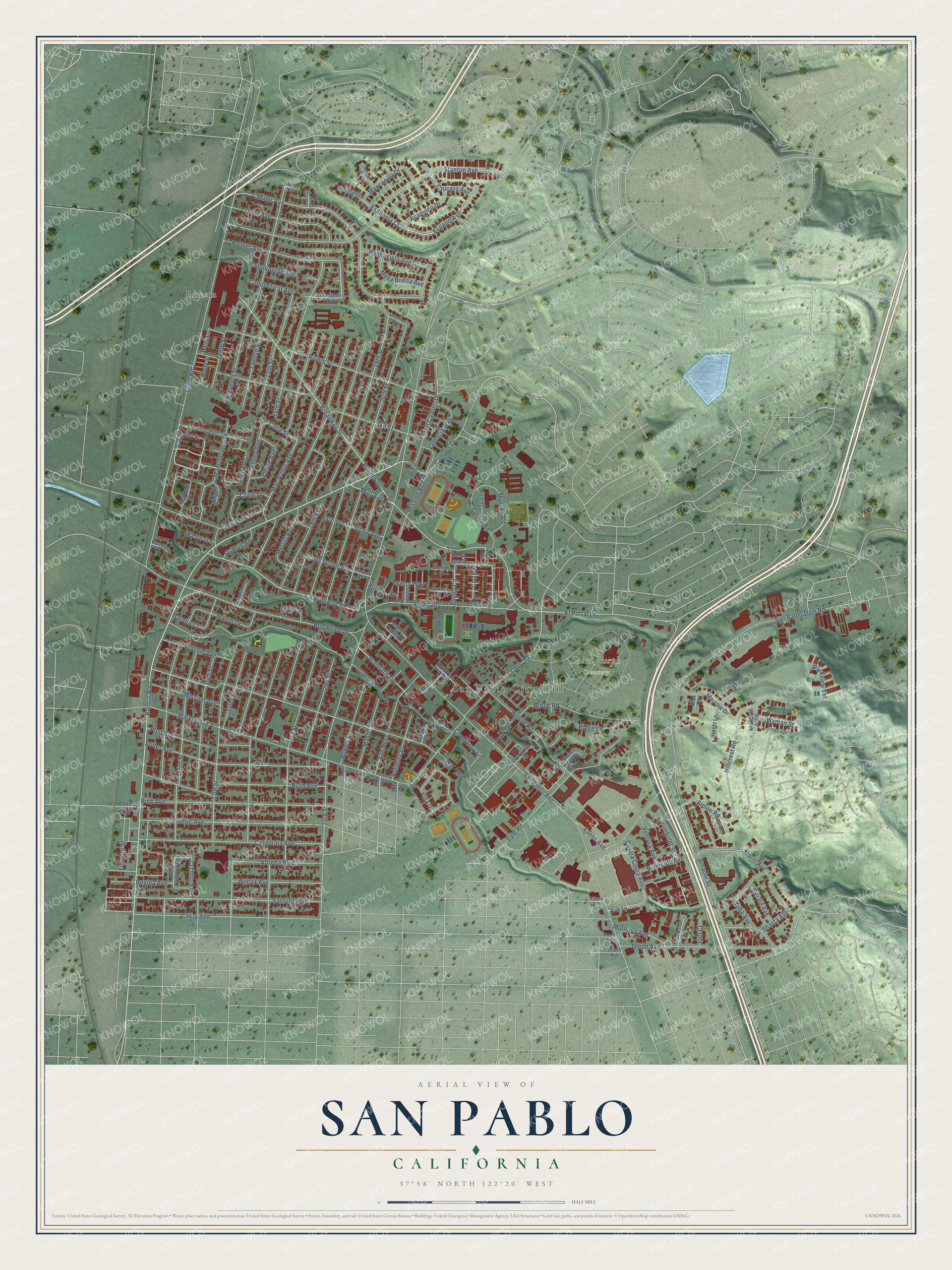
This beautifully detailed map of San Pablo, California was created in 2026 using aerial imagery combined with modern topographical, census, street and landmark data. It's a modern aerial view of San Pablo in Contra Costa County, California, that combines modern data with a vintage aesthetic. The roads feature printed names, and if you look closely you can find your exact house accurately shown in its correct location.
Explore an aerial view of San Pablo, California
On this map you'll find San Pablo City Hall, Saint Joseph Cemetery, Rheem, Rumrill Boulevard, Coalport Street, Espanola Court, Espanola Drive, Miner Avenue, Villa Drive, Crucero Avenue, Manzanilla Drive, El Portal Drive, and more. Each red shape is a building, so zoom in on the preview and look for yours.
Here is a piece of San Pablo history, in the words of the record. The record at ohp.parks.ca.gov puts it this way: "Site of adobe house, grape arbor, and gardens built in 1842 by Jesús María Castro for his mother, Dona Gabriéla Berryessa de Castro, widow of Francisco María Castro who had been granted Rancho (Cuchiyunes) San Pablo in 1823."
San Pablo is a city in Contra Costa County. The Census Bureau counted 32,127 people here in 2020.
Take a closer look at the San Pablo map
Names on this map
These names are printed on this map.
Places: San Pablo City Hall, Saint Joseph Cemetery and Rheem.
Streets and roads: Rumrill Boulevard, Coalport Street, Espanola Court, Espanola Drive, Miner Avenue, Villa Drive, Crucero Avenue, Manzanilla Drive, El Portal Drive, Dover Avenue, Broadway, Broadway Street.
More street names, A to Z
13th Street, 14th Street, 15th Street, 16th Street, 17th Street, 18th Street, 19th Street, 20th Street, 21st Street, 22nd Street, 23rd Street, 24th Street, 25th Street, 26th Street, 27th Street, Abella Circle, Acapulco Drive, Alan Court, Alfreda Boulevard, Alpine Court, Alpine Road, Alvarado Square, Alvarado Street, Amador Street, Barbara Lane, Bayo Vista Avenue, Brentz Lane, Brookhaven Court, Brookside Avenue, Brookside Drive, Bush Avenue, California Avenue, Campo Verde Circle, Campus Drive, Carmel Street, Castro Road, Cedar Terrace, Chattleton Lane, Chesley Avenue, Church Lane, Clare Street, Colin Street, College Lane, Connecticut Avenue, Contra Costa Avenue, Corte Street, Costa Avenue, County Highway 20, Del Camino Drive, Dodson Street, Douglas Street, East Victoria Court, Eleventh Street, Emeric Avenue, Espanillo Court, Evens Avenue, Evergreen Terrace, Fillmore Street, Folsom Avenue, Frieda Court, Gerald Avenue, Giant Road, Glenn Avenue, Hayes Street, Hillcrest Road, Holly Street, Humboldt Street, Joel Court, John Avenue, Juarez Court, Kelley Avenue, Kirk Lane, Lake Street, Larchmont Lane, Love Grove Avenue, Lovegrove Avenue, Lowell Avenue, Mac Arthur Avenue, Madrone Way, Manchester Avenue, Manor Drive, Marelia Court, Maria Vega Court, Marin Avenue, Market Avenue, Mason Street, Merritt Avenue, Mesa Buena Avenue, Mission Avenue, Mission Bell Drive, Montoya Avenue, Moraga Road, Morrow Drive, Muir Avenue, Muir Street, Murra Court, Ohare Avenue, Pablo Vista Avenue, Palmer Avenue, Parkview Terrace, Paseo Way, Pine Avenue, Post Avenue, Powell Street, Presidio Street, Pullman Street, Purisma Street, Randy Lane, Regello Court, Regina Avenue, Rheem Avenue, Ridge Lane, Ridge Road, Riverside Avenue, Rivers Street, Road 20, Rumrill Road, San Diego Street, Sanford Avenue, San Pablo Avenue, San Pablo Dam Road, San Pedro Street, Santa Ana Street, Serra Way, Shasta Avenue, Sheffield Court, Short Avenue, Standard Avenue, Standard Street, Stanton Avenue, Stone Avenue, Stone Street, Stonington Avenue, Sutro Avenue, Sutter Avenue, Tenth Street, Trenton Boulevard, Tulare Avenue, Twelfth Street, Tyler Street, University Avenue, Valencia Way, Vale Road, Van Ness Street, Ventura Avenue, Wanlass Avenue, Westgate Circle, West Lane, West Victoria Court, Wilcox Avenue, Willow Road, Winifred Way, Wyman Street, Yuba Avenue.
Created by KNOWOL in 2026. The buildings are small red shapes, the roads carry their printed names, and shaded relief shows the shape of the land. The title panel reads "AERIAL VIEW OF SAN PABLO CALIFORNIA" with 37°58' NORTH 122°20' WEST.
It suits a den, a classroom or a front hall, and it makes a gift for anyone with San Pablo roots. Open the preview and find the block you know. See sizes and frames for the San Pablo map.