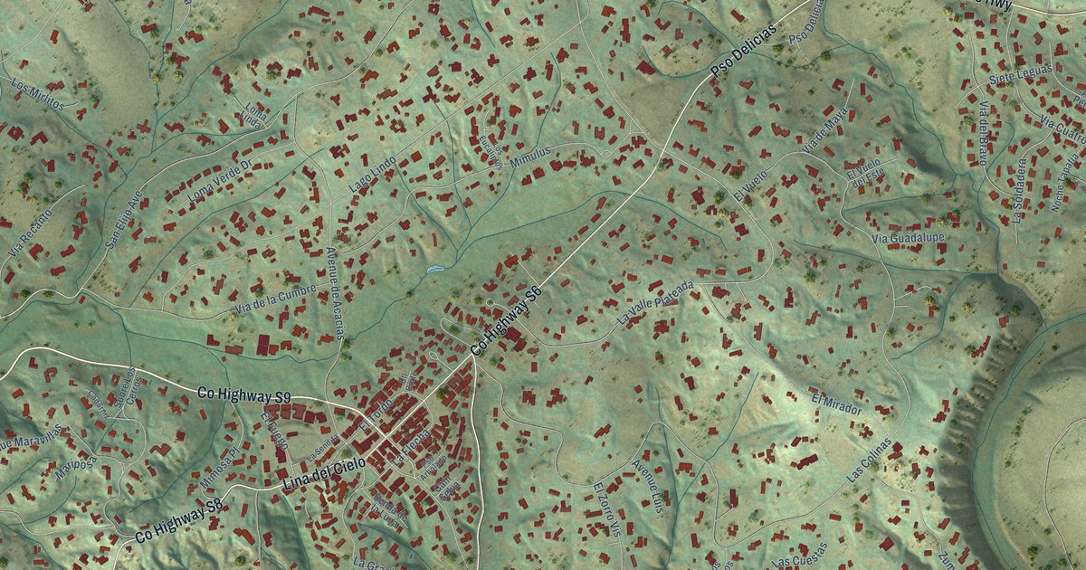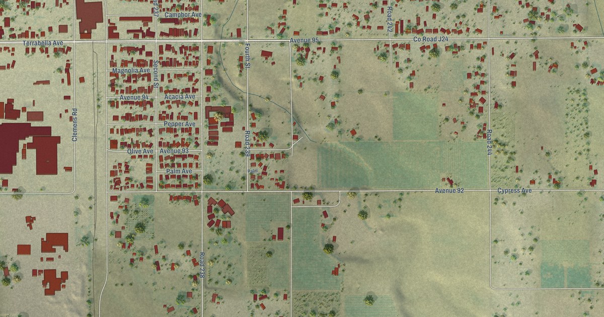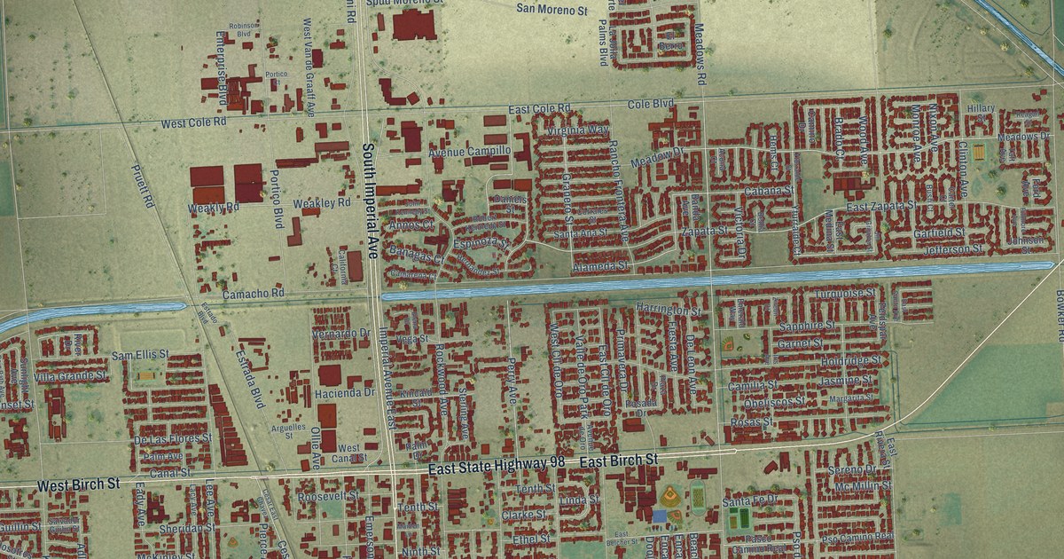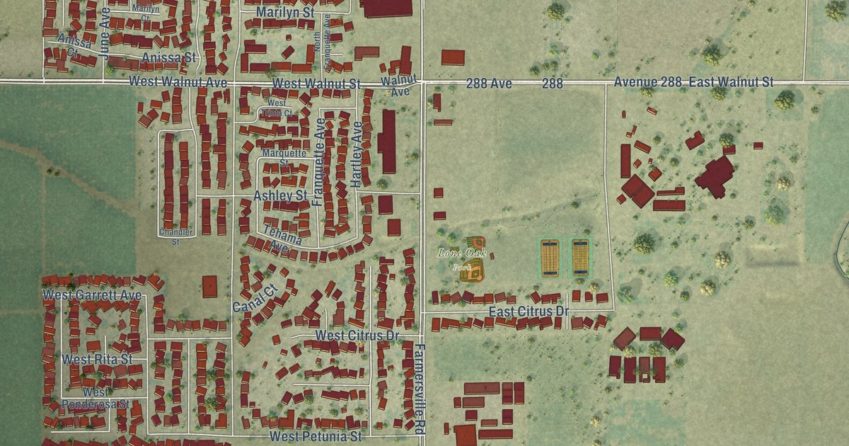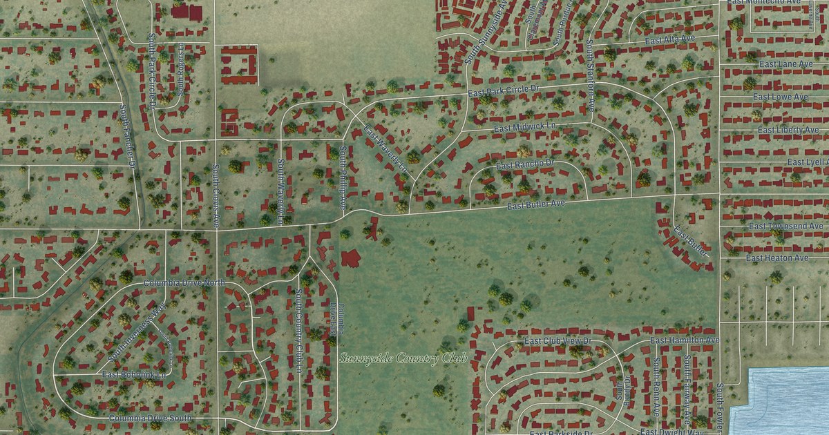
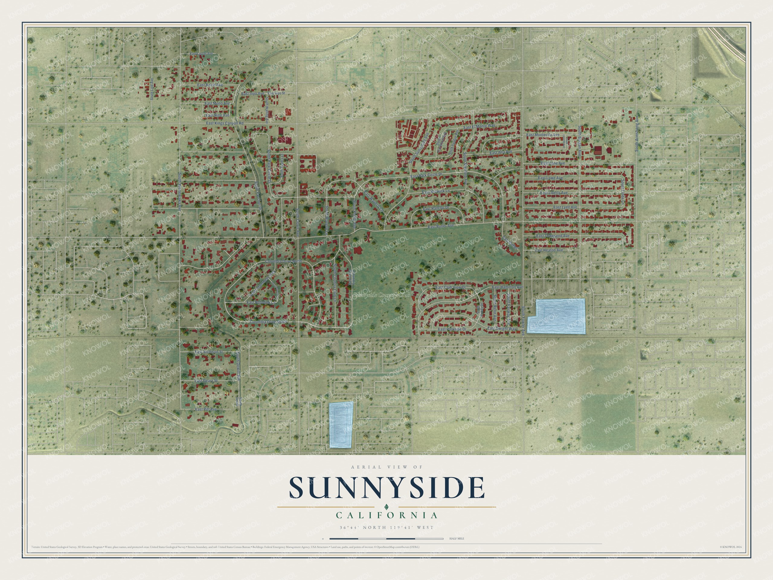
This beautifully detailed map of Sunnyside, California was created in 2026 using aerial imagery combined with modern topographical, census, street and landmark data. It's a modern aerial view of Sunnyside in Fresno County, California, that combines modern data with a vintage aesthetic. The roads feature printed names, and if you look closely you can find your exact house accurately shown in its correct location.
Explore an aerial view of Sunnyside, California
On this map you'll find Sunnyside Country Club, South Waverly Lane, South Dewitt Avenue, East Nine Avenue, South Minnewawa Avenue, East Park Circle Drive, East Bobolink Lane, East Butler Avenue, East Kings Canyon Road, South Fowler Avenue, South Clovis Avenue, East Liberty Avenue, and more. Each red shape is a building, so zoom in on the preview and look for yours.
Here is a piece of Sunnyside history. Sunnyside took its name from the Sunnyside Vineyard that farmer William Oothout planted in 1890. In 1911 a group bought part of the vineyard to build a golf course, with Oothout's old home as the first clubhouse, and the Sunnyside Country Club lent its name to the whole neighborhood. Before the Sunnyside name stuck, George Malter's huge St. George Vineyard nearby was so large that it had its own post office, Maltermoro, from 1894 to 1913. That's from the KVPR Central Valley Roots series.
Sunnyside is a community in Fresno County. The Census Bureau counted 4,627 people here in 2020. Sunnyside sits about 4 miles east of Calwa, 4 miles northeast of Malaga and 4 miles south of Tarpey Village. The map prints the town name in its title panel, with the coordinates below it.
Take a closer look at the Sunnyside map
Names on this map
These names are printed on this map.
Places: Sunnyside Country Club.
Streets and roads: Columbia Drive South, South Waverly Lane, South Dewitt Avenue, East Nine Avenue, South Minnewawa Avenue, East Park Circle Drive, East Bobolink Lane, East Butler Avenue, East Kings Canyon Road, South Fowler Avenue, South Clovis Avenue, East Liberty Avenue.
More street names, A to Z
Columbia Drive East, Columbia Drive North, East Alta Avenue, East Atchison Street, East Balch Avenue, East Butler, East Club View Drive, East Dwight Way, East El Monte Way, East Geary Street, East Hamilton Avenue, East Heaton Avenue, East Inyo Avenue, East Inyo Street, East Lane Avenue, East Laurel Avenue, East Lowe Avenue, East Lyell Avenue, East Midwick Lane, East Mono Avenue, East Montecito Avenue, East Parkside Drive, East Pitt Avenue, East Rancho Drive, East Townsend Avenue, East Waverly Lane, South Armstrong Avenue, South Bobolink Lane, South Bundy Drive, South Burgan Avenue, South Claremont Avenue, South Country Club Lane, South Dewitt, South Fairway Avenue, South Fancher Drive, South Inverness Way, South Laverne Avenue, South Linda Lane, South Lind Avenue, South Park Circle Drive, South Phillip Avenue, South Purdue Avenue, South Renn Avenue, South Rogers Lane, South Stanford Avenue, South Sunnyside Avenue, South Walling Avenue.
See it on a wall
The Sunnyside map as a framed print. Swipe for more.


Created by KNOWOL in 2026. The buildings are small red shapes, the roads carry their printed names, and shaded relief shows the shape of the land. The title panel reads "AERIAL VIEW OF SUNNYSIDE, CALIFORNIA" with 36°44' NORTH 119°41' WEST.
It suits a den, a classroom or a front hall, and it makes a gift for anyone with Sunnyside roots. Open the preview and find the block you know. See sizes and frames for the Sunnyside map.