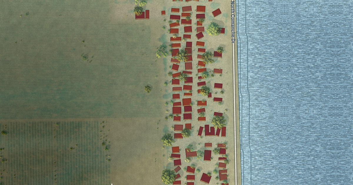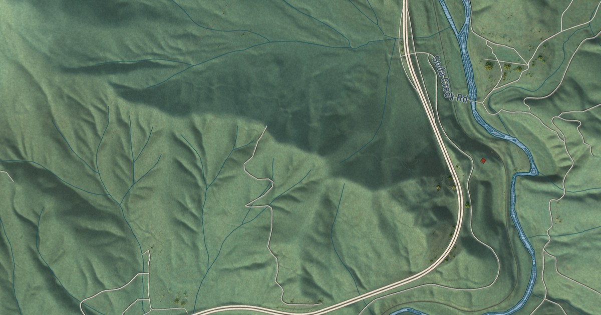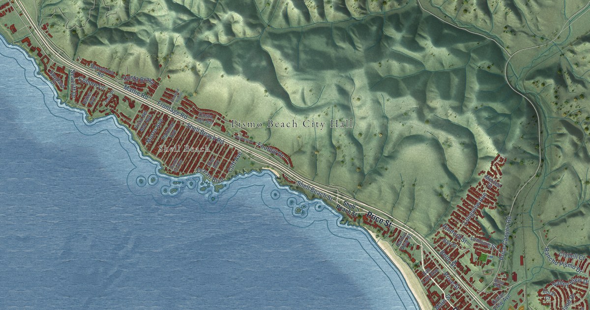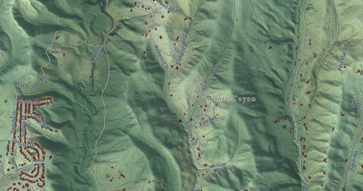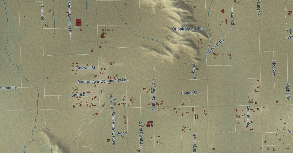
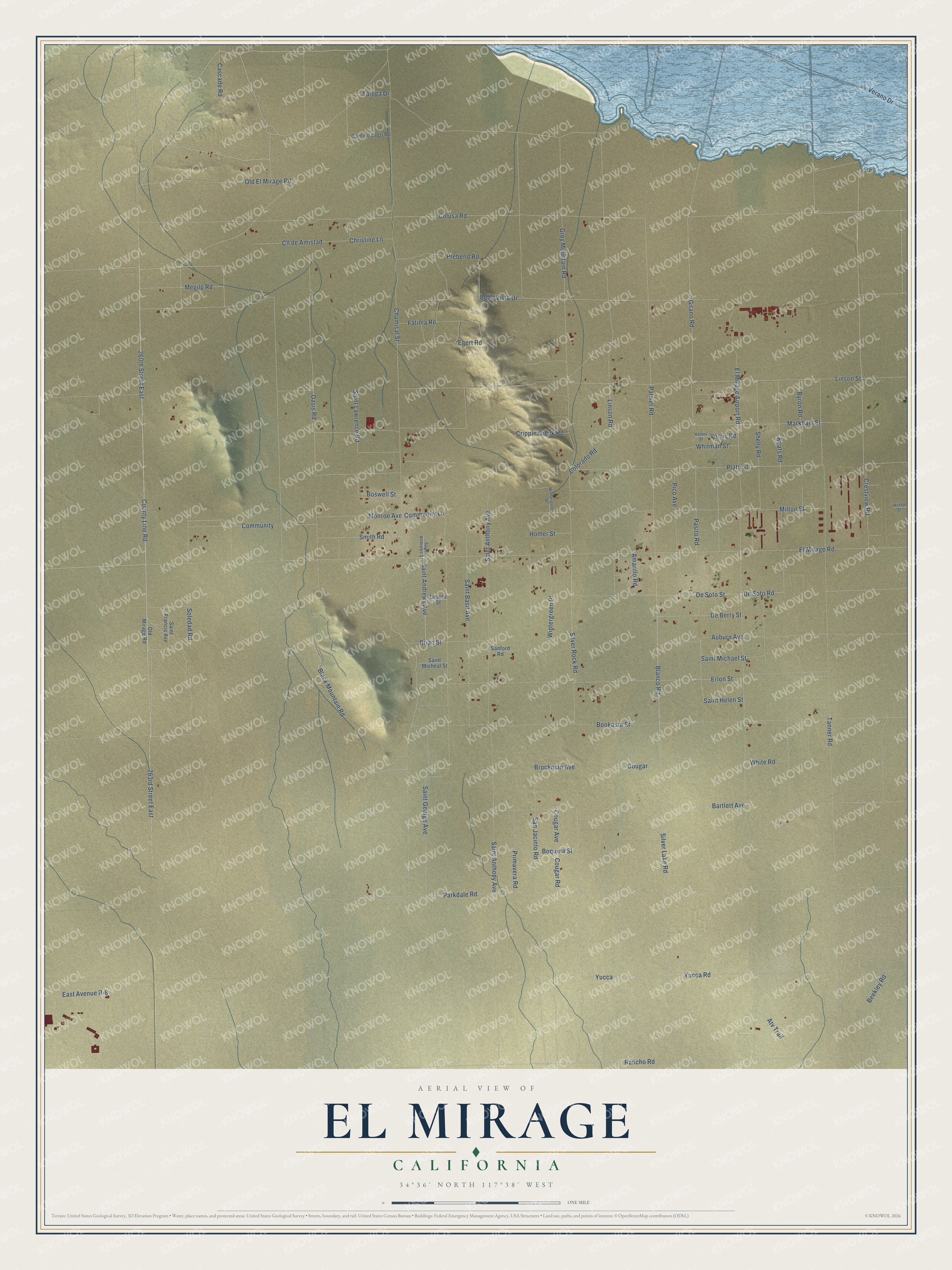
This beautifully detailed map of El Mirage, California was created in 2026 using aerial imagery combined with modern topographical, census, street and landmark data. It’s a one-of-a-kind view of El Mirage that combines accurate data with a vintage aesthetic. The map shows every building in its true location, many of the roads carry their names, and the shaded topographic relief shows the shape of the land.
Explore an aerial view of El Mirage, California
On the map you’ll find Yucca, along with 260th Street East, Parkdale Road, Old El Mirage Road, Prebend Road, Brockman Avenue, Bartlett Avenue, Silver Lake Road, Cascade Road, Gitano Road, Soledad Road, Silver Rock Road, and more. If you look closely you can even find your house accurately drawn in its correct location. Zoom in on the preview to look for yours.
Take a closer look at the El Mirage map
Names on this map
These names are printed on this map.
Streets and roads: 260th Street East, Parkdale Road, Old El Mirage Road, Prebend Road, Brockman Avenue, Bartlett Avenue, Silver Lake Road, Yucca, Cascade Road, Gitano Road, Soledad Road, Silver Rock Road.
More street names, A to Z
263rd Street East, Amarillo Road, Atv Trail, Auburn Avenue, Beekley Road, Bella Vista Drive, Black Mountain Road, Blanco Road, Bookasta Street, Boquina Street, Boswell Street, Brian Street, Byron Road, Camino Lago Road, Chamisal Street, Christine Lane, Cll de Amistad, Colorado Road, Colusa Road, Community, Community Lane, Cougar, Cougar Avenue, Cougar Road, County Line Road, Crestview Road, Cripple Creek Road, De Berry Street, De Soto Road, De Soto Street, Desoto Street, East Avenue R-8, Egert Road, El Mirage Airport Road, El Mirage Road, Erlon Street, Fatima Road, Grey Mountain Road, Hilton Street, Homer Street, Keats Road, Linson Road, Linson Street, Markham Street, Megilp Road, Milton Street, Monroe Avenue, Oasis Road, Old Mirage Road, Palmer Road, Pasito Road, Pico Avenue, Plato Street, Primavera Road, Rancho Road, Saint Andrews Avenue, Saint Andrews Street, Saint Anthony Avenue, Saint Basil Avenue, Saint Francis Avenue, Saint George Avenue, Saint Helen Street, Saint Lawrence Road, Saint Michael Street, Saint Micheal Street, Sanford Road, San Jacinto Road, Shelly Road, Smith Road, Taloga Drive, Tanner Road, Venus Road, Venus Street, Verano Drive, White Road, Whitman Street, Wintergreen Place, Wintergreen Street, Yucca Road.
See it on a wall
The El Mirage map as a framed print. Swipe for more.


This beautifully detailed map of El Mirage makes an attractive addition to your office, library, or den, and it can even be used to teach children the geography and history of the area. It also makes a great gift for anyone who grew up in El Mirage or moved away. When you’re done exploring, click here to get your copy of the El Mirage map.