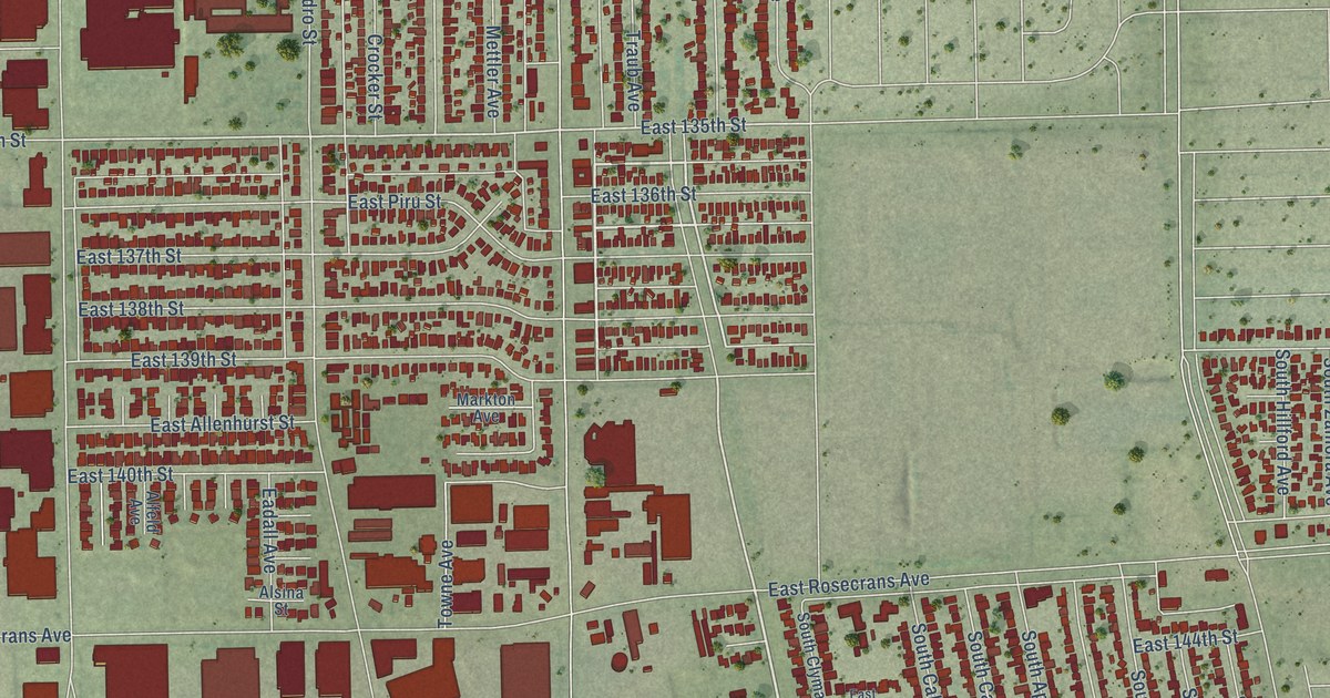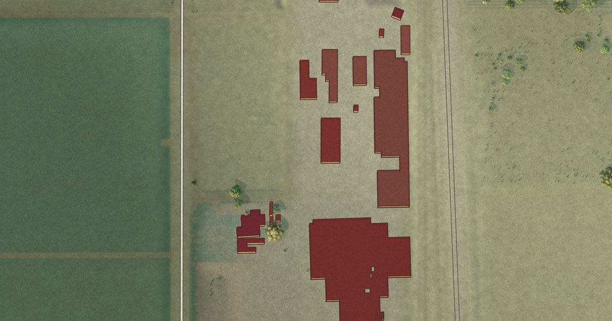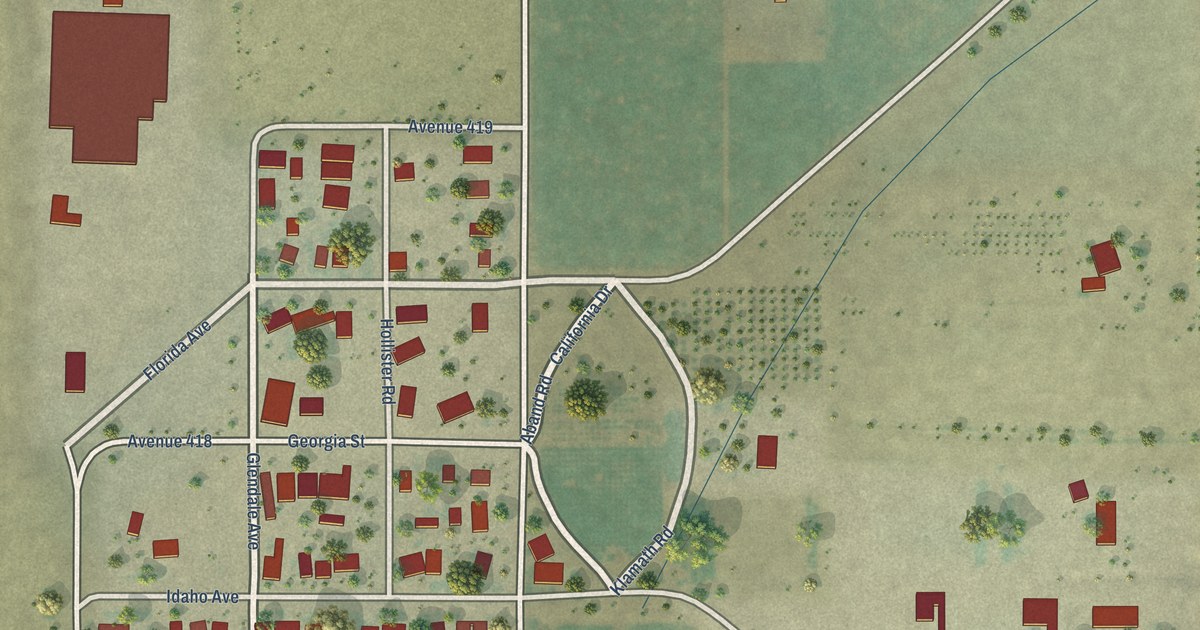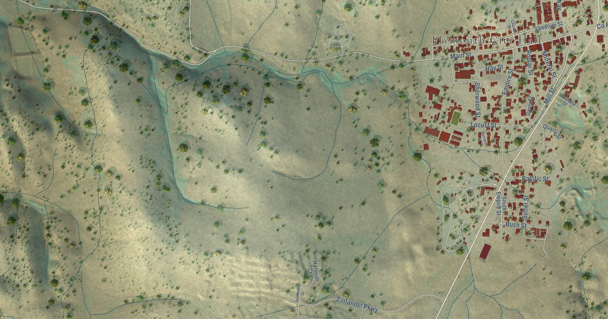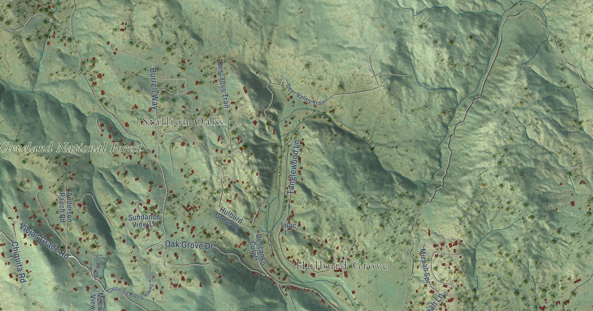
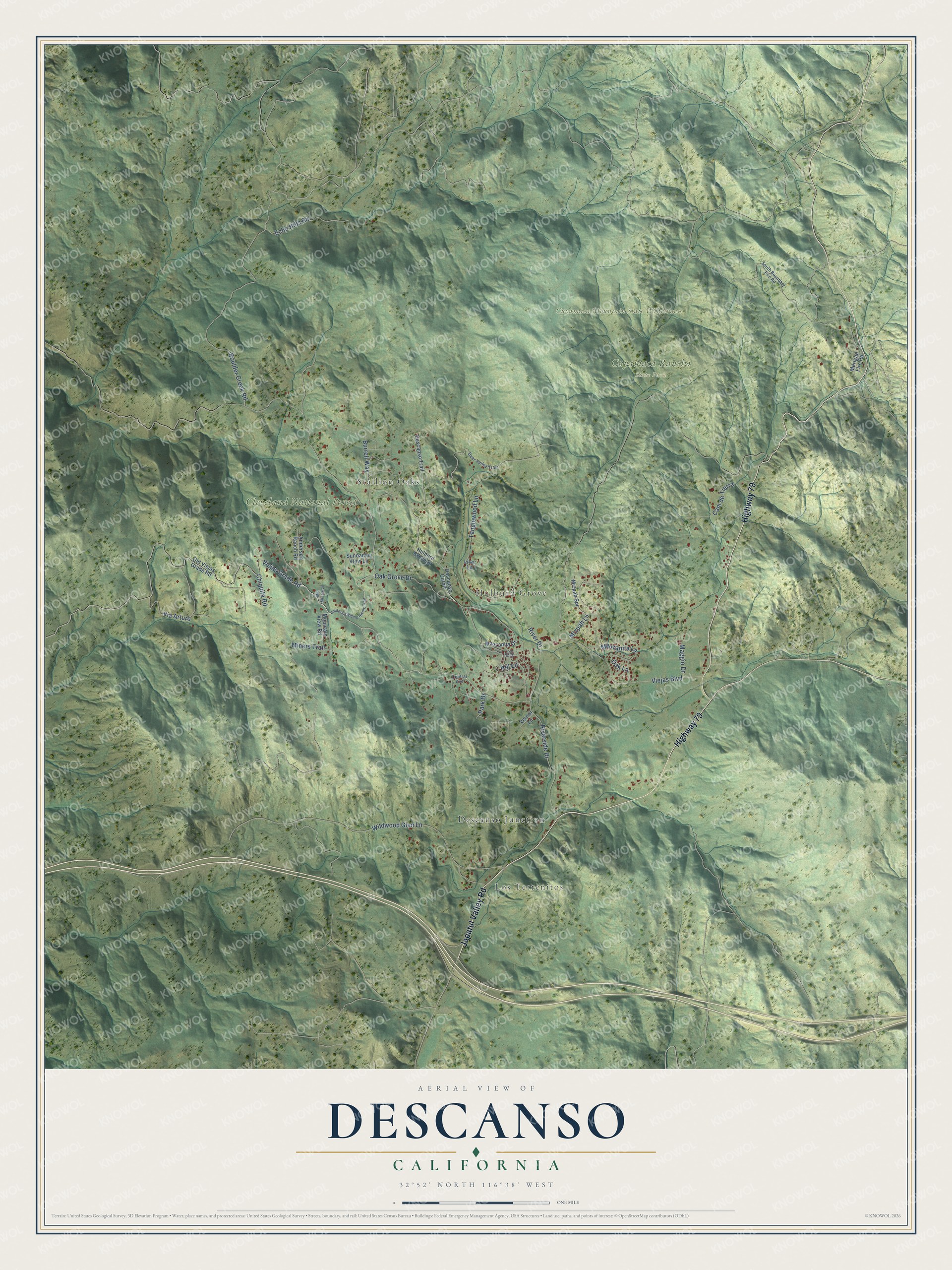
This beautifully detailed map of Descanso, California was created in 2026 using aerial imagery combined with modern topographical, census, street and landmark data. It's a modern aerial view of Descanso in San Diego County, California, that combines modern data with a vintage aesthetic. The roads feature printed names, and if you look closely you can find your exact house accurately shown in its correct location.
Explore an aerial view of Descanso, California
On this map you'll find Los Terrenitos, Stallion Oaks, Hulburd Grove, Cleveland National Forest, Cuyamaca Mountain State Wilderness, Cuyamaca Rancho State Park, Descanso Junction, Japatul Valley Road, Highway 79, Viejas Grade Road, Oak Grove Drive, Boulder Creek Road, and more. Each red shape is a building, so zoom in on the preview and look for yours.
Descanso has a story worth telling. Descanso was first known as Guatay. Its oak-shaded glen offered a descanso, Spanish for a place of rest, to travelers making the long, hot thousand-foot climb up the Viejas Grade Road, and the valley was officially renamed Descanso in 1877. In 1884 four Spiritualists, among them Ebenezer W. Hulburd, each homesteaded 160 acres there. Their rustic stone and timber cabins set the standard of building in the area. That's from the California State Parks historian.
Descanso is a community in San Diego County. The Census Bureau counted 1,499 people here in 2020.
Take a closer look at the Descanso map
Names on this map
These names are printed on this map.
Places: Los Terrenitos, Stallion Oaks, Hulburd Grove, Cleveland National Forest, Cuyamaca Mountain State Wilderness, Cuyamaca Rancho State Park and Descanso Junction.
Streets and roads: Japatul Valley Road, Highway 79, Viejas Grade Road, Oak Grove Drive, Boulder Creek Road, Chiquita Road, Wildwood Glen Lane, Viejas Boulevard, River Drive, Riverside Drive, Via Arturo, Burrell Way.
More street names, A to Z
Anderson Ranch Road, California Riding Hiking Trail, Cam de Tierra, Central Avenue, Deer Valley Trail, Descanso Cutoff, Descanso Trail, Echo Hills Road, Elm Drive, Hill Lane, Hulburd Grove Drive, Lilac Lane, Maggio Drive, Manzanita Drive, Manzanita Lane, Merigan Fire Road, Miners Trail, Mio Metate Lane, Mizpah Lane, Mizpah Spr, Mountain View Road, Oak Lane, Old Viejas Grade Road, Park Drive, South Boundary Fire Road, Sundance View Lane, Tanglewood Lane, Vernal Lane.
See it on a wall
The Descanso map as a framed print. Swipe for more.


Created by KNOWOL in 2026. The buildings are small red shapes, the roads carry their printed names, and shaded relief shows the shape of the land. The title panel reads "AERIAL VIEW OF DESCANSO, CALIFORNIA" with 32°52' NORTH 116°38' WEST.
It looks right in a kitchen, an office or a den, and it's a gift for anyone who grew up in Descanso or moved away. Open the preview and find your street. See sizes and frames for the Descanso map.