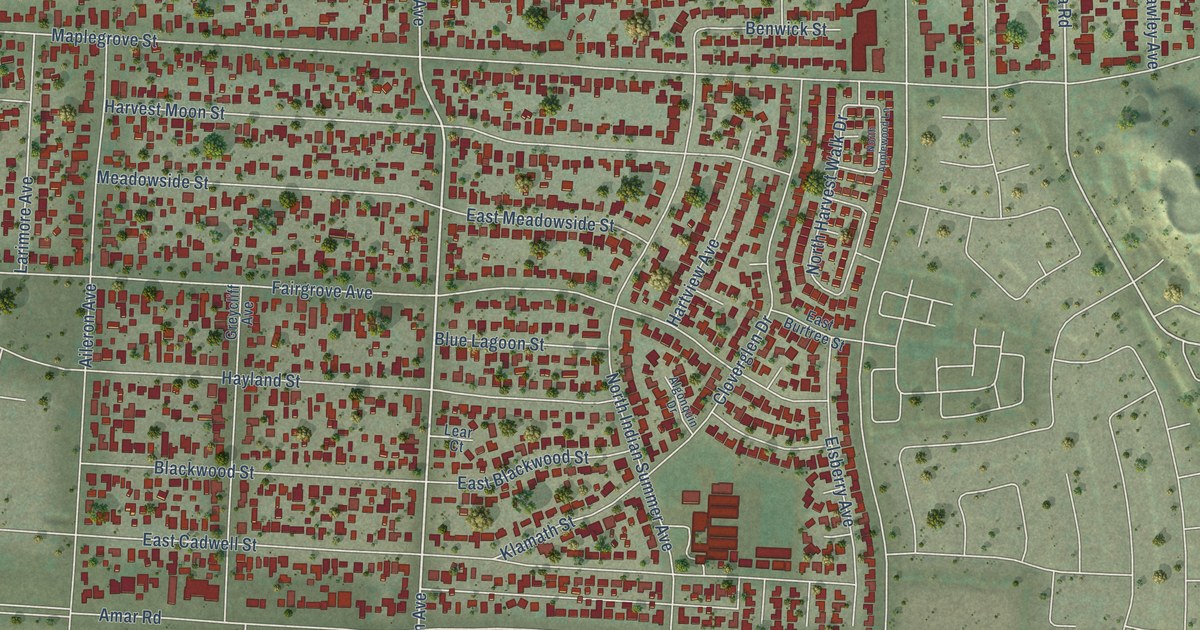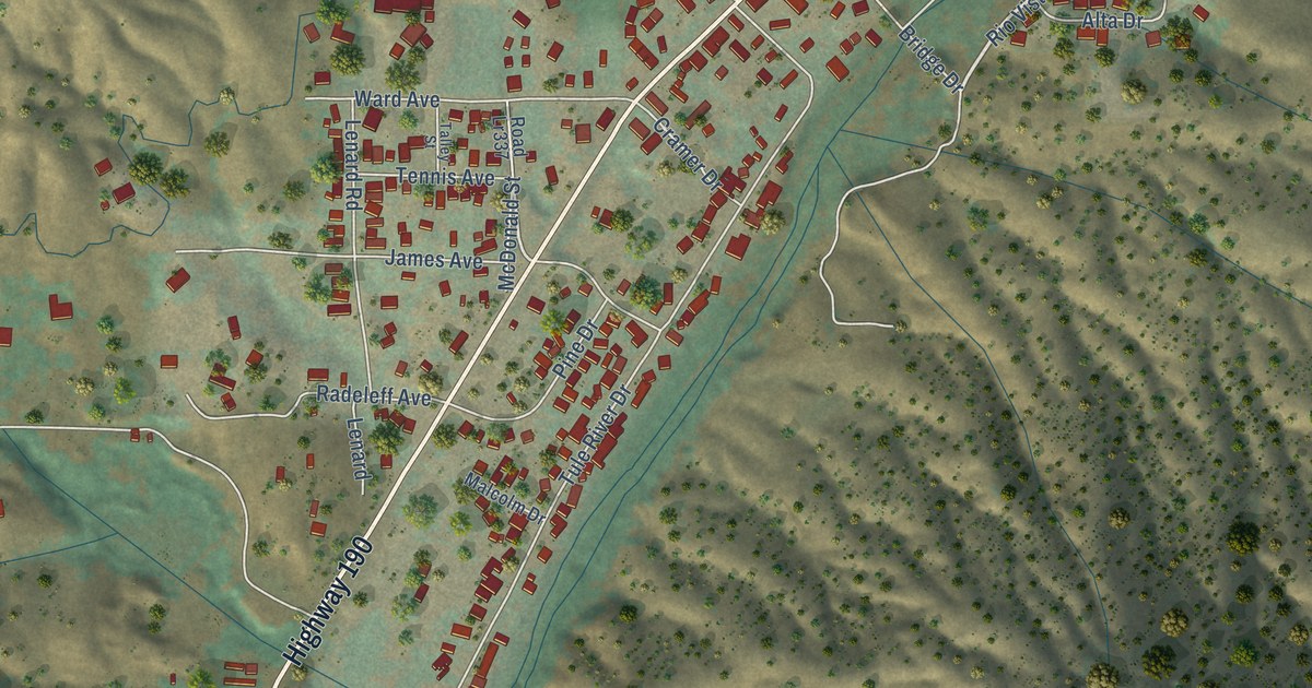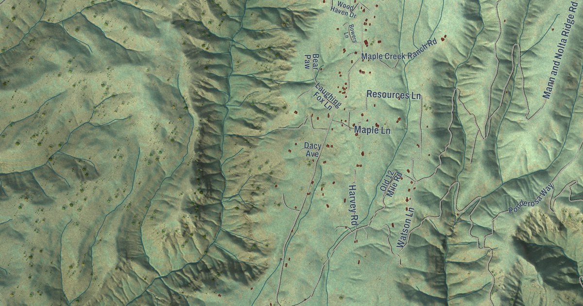
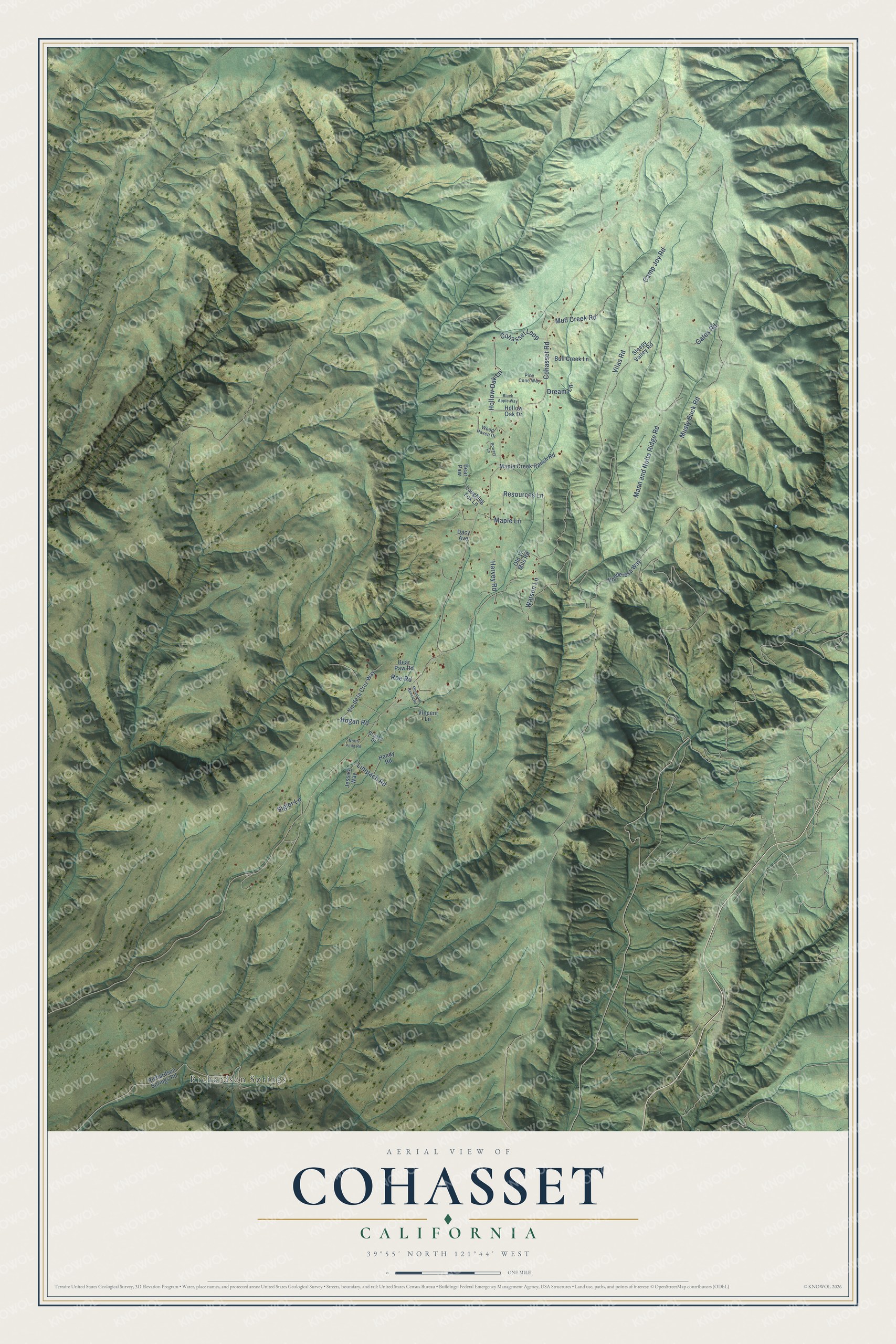
This beautifully detailed map of Cohasset, California was created in 2026 using aerial imagery combined with modern topographical, census, street and landmark data. It's a modern aerial view of Cohasset in Butte County, California, that combines modern data with a vintage aesthetic. The roads feature printed names, and if you look closely you can find your exact house accurately shown in its correct location.
Explore an aerial view of Cohasset, California
On this map you'll find Richardson Springs, Hollow Oak Lane, Hogan Road, Roe Road, Resources Lane, Cohasset Road, Vilas Road, Musty Buck Road, Mann and Nolta Ridge Road, Mud Creek Road, Gates Road, Camp Joy Road, and more. Each red shape is a building, so zoom in on the preview and look for yours.
Every town has a first chapter, and Cohasset is no exception. When the Post Office Department turned down the name North Point in 1887, Miss Welch, the teacher, and Marie Wilson chose the name of the town in Massachusetts, Cohasset, for the new post office. That's from the 1969 place-name book by Erwin Gudde.
Cohasset is a community in Butte County. The Census Bureau counted 830 people here in 2020.
Take a closer look at the Cohasset map
Names on this map
These names are printed on this map.
Places: Richardson Springs.
Streets and roads: Hollow Oak Lane, Hogan Road, Roe Road, Resources Lane, Cohasset Road, Vilas Road, Musty Buck Road, Mann and Nolta Ridge Road, Mud Creek Road, Gates Road, Camp Joy Road, Limpach Road.
More street names, A to Z
Bear Paw, Bear Paw Road, Black Apple Way, Bowers Lane, Brooks Drive, Bull Creek Lane, Cohasset Loop, Dacy Avenue, Dream Lane, Handy Road, Harvey Road, Hollow Oak Drive, Jessica Way, Laughing Fox Lane, Maple Creek Ranch Road, Maple Lane, Mountain Ranch Road, North Point Road, Old 12 Mile Road, Pine Cone Way, Ponderosa Way, Richardson Springs Road, Sigler Lane, Sleepy Valley Road, Via de la Cruz Way, Vincent Lane, Watson Lane, Wood Haven Drive.
See it on a wall
The Cohasset map as a framed print. Swipe for more.


Created by KNOWOL in 2026. The buildings are small red shapes, the roads carry their printed names, and shaded relief shows the shape of the land. The title panel reads "AERIAL VIEW OF COHASSET, CALIFORNIA" with 39°55' NORTH 121°44' WEST.
Hang it in the hallway, the office or the cabin, or give it to someone who left Cohasset and still calls it home. Open the preview and look for a street you know. See sizes and frames for the Cohasset map.