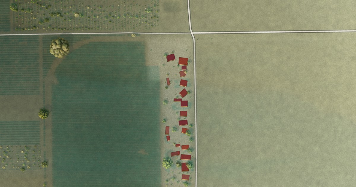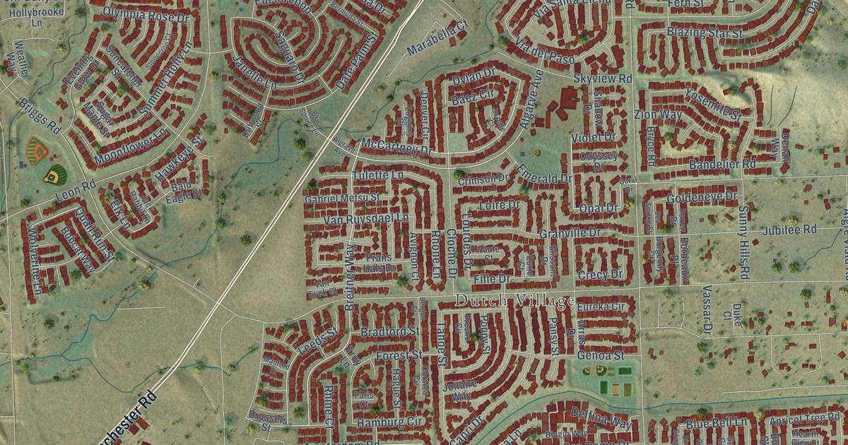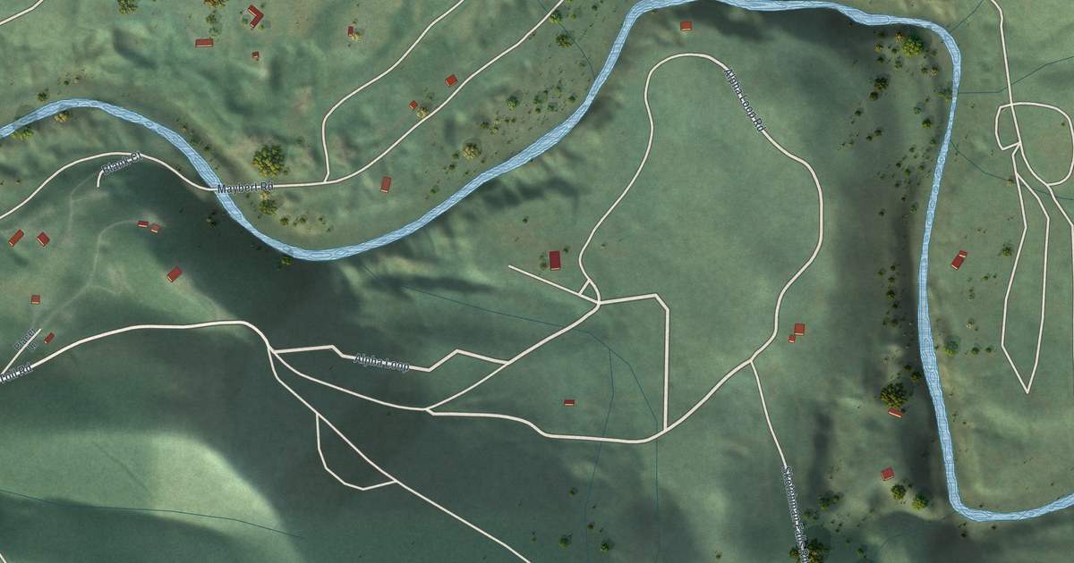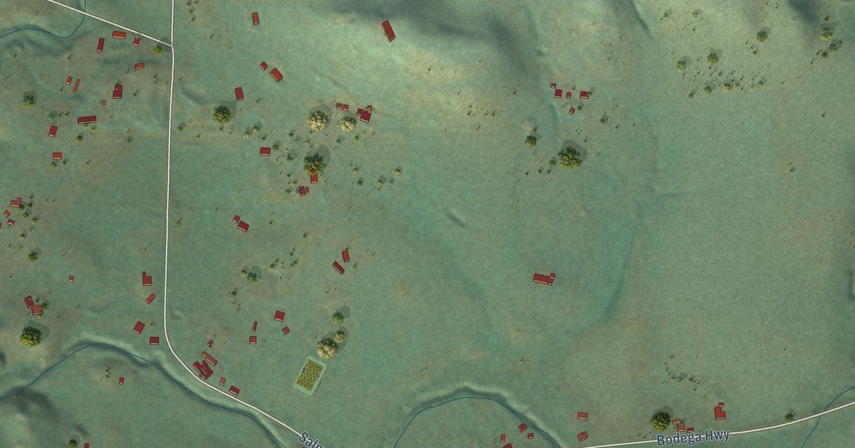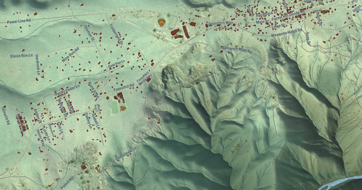
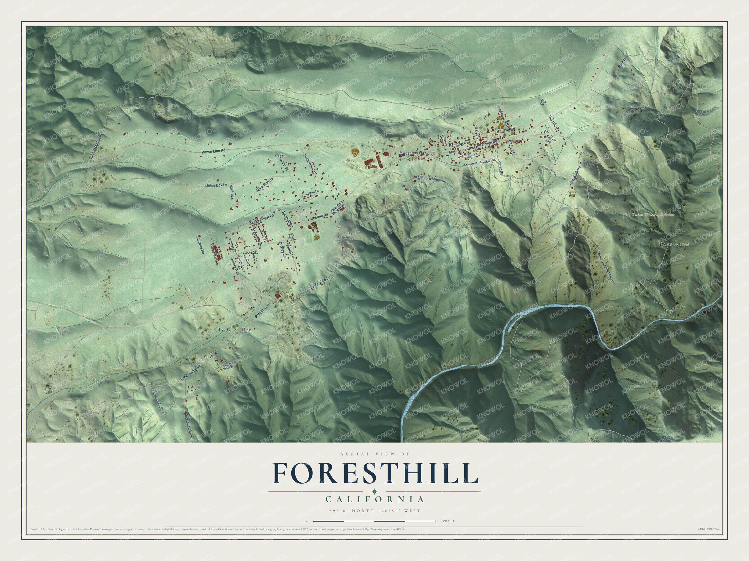
This beautifully detailed map of Foresthill, California was created in 2026 using aerial imagery combined with modern topographical, census, street and landmark data. It's a modern aerial view of Foresthill in Placer County, California, that combines modern data with a vintage aesthetic. The roads feature printed names, and if you look closely you can find your exact house accurately shown in its correct location.
Explore an aerial view of Foresthill, California
On this map you'll find Todd Valley, Tahoe National Forest, Four Acres, Power Line Road, Spring Garden Road, Mosquito Ridge Road, Old Mill Road, Patent Road, Racetrack Street, Church Street, Foresthill Road, Three Queens Mine Road, and more. Each red shape is a building, so zoom in on the preview and look for yours.
Foresthill has a story worth telling. Foresthill began where two gold rush trails met on top of the ridge. In the fall of 1850, M. and James Fannan and R. S. Johnson set up a trading post there, and their brush shanty grew into a hotel called the Forest House, named for the dense forest of pine, fir, spruce and oak around it. In the stormy winter of 1852 and 1853, a landslide at the head of Jenny Lind Canyon uncovered chunks of gold glistening in the gravel. That find opened the Jenny Lind Mine and the deep mines that made the town famous. That's from the 1882 History of Placer County.
Foresthill is a community in Placer County. The Census Bureau counted 1,692 people here in 2020.
Take a closer look at the Foresthill map
Names on this map
These names are printed on this map.
Places: Todd Valley, Tahoe National Forest and Four Acres.
Streets and roads: Power Line Road, Spring Garden Road, Mosquito Ridge Road, Old Mill Road, Patent Road, Racetrack Street, Church Street, Foresthill Road, Three Queens Mine Road, Forest Hill Divide Road, Todd Valley Road, Sierra View Lane.
More street names, A to Z
Amber Court, Baltimore Mine Road, Bath Road, Broken Bow Court, Carpenters Way, Emerson Lane, Fire Road, Forest Hill Divide Highway, Gold Pan Lane, Gold Street, Hardrock Lane, Harrison Street, Henry Way, Idlewild Road, Isabell Lane, Larimer Trail, Lords Lane, Lowe Street, Madrone Drive, Main Street, Mayflower Road, Mine Run Road, New Bath Road, Oakley Lane, Old Miners Road, Owl Hill Court, Pecky Cedar Lane, Pine Street, Pond Drive, Rand Al Road, Randy Court, Sluice Box Lane, Soap Street, Thomas Street, Timberland Drive, Tule Lane, Valley View Drive, Walters Way.
See it on a wall
The Foresthill map as a framed print. Swipe for more.


Created by KNOWOL in 2026. The buildings are small red shapes, the roads carry their printed names, and shaded relief shows the shape of the land. The title panel reads "AERIAL VIEW OF FORESTHILL, CALIFORNIA" with 39°00' NORTH 120°50' WEST.
It looks right in a kitchen, an office or a den, and it's a gift for anyone who grew up in Foresthill or moved away. Open the preview and find your street. See sizes and frames for the Foresthill map.