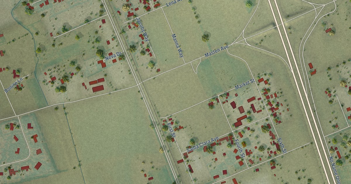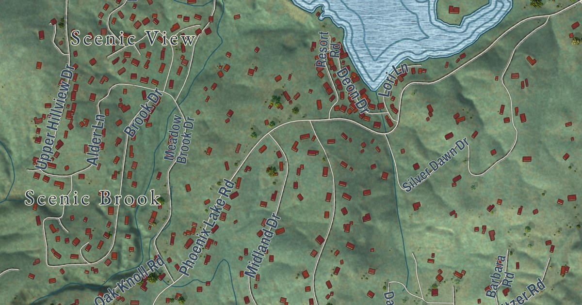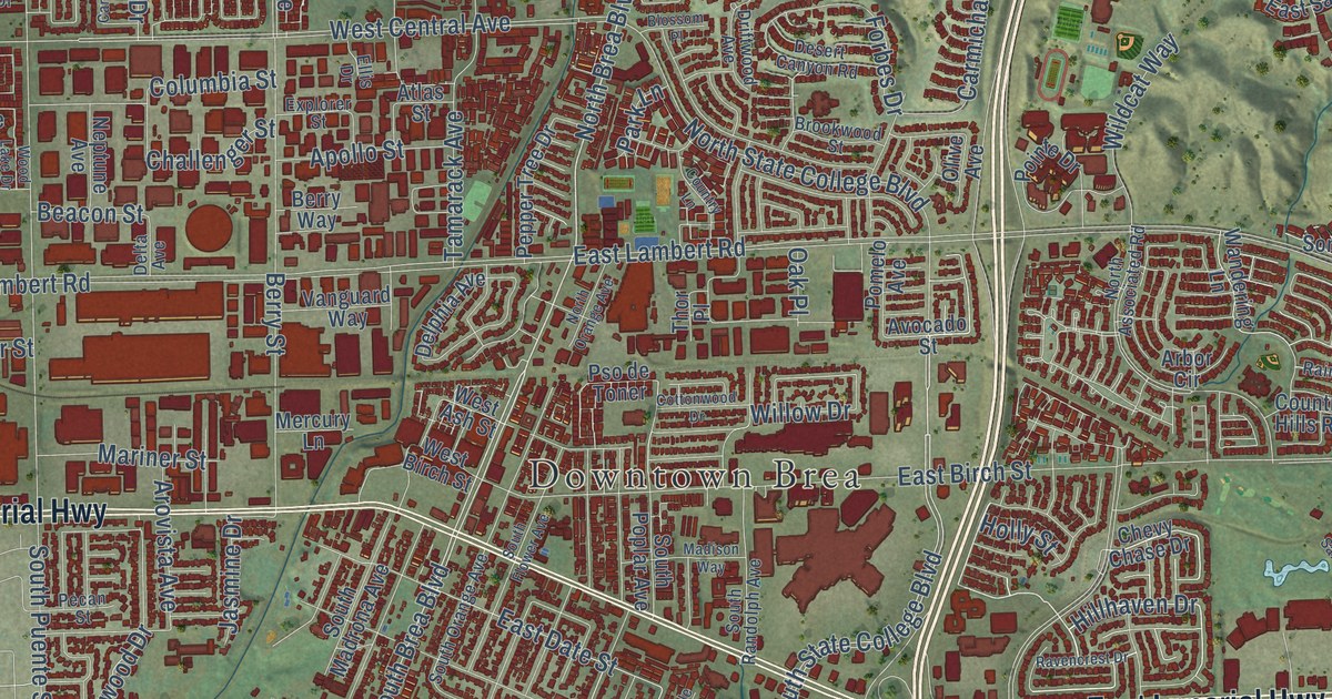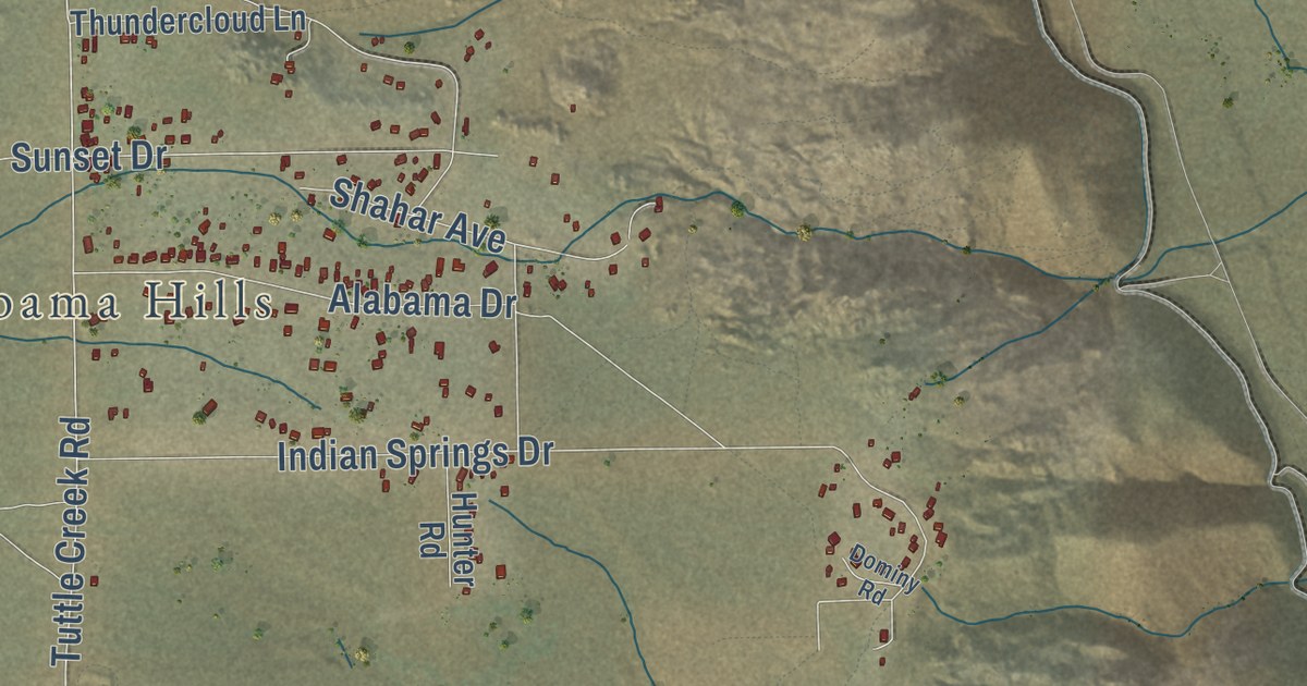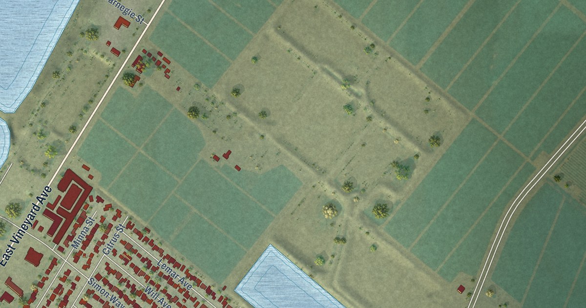
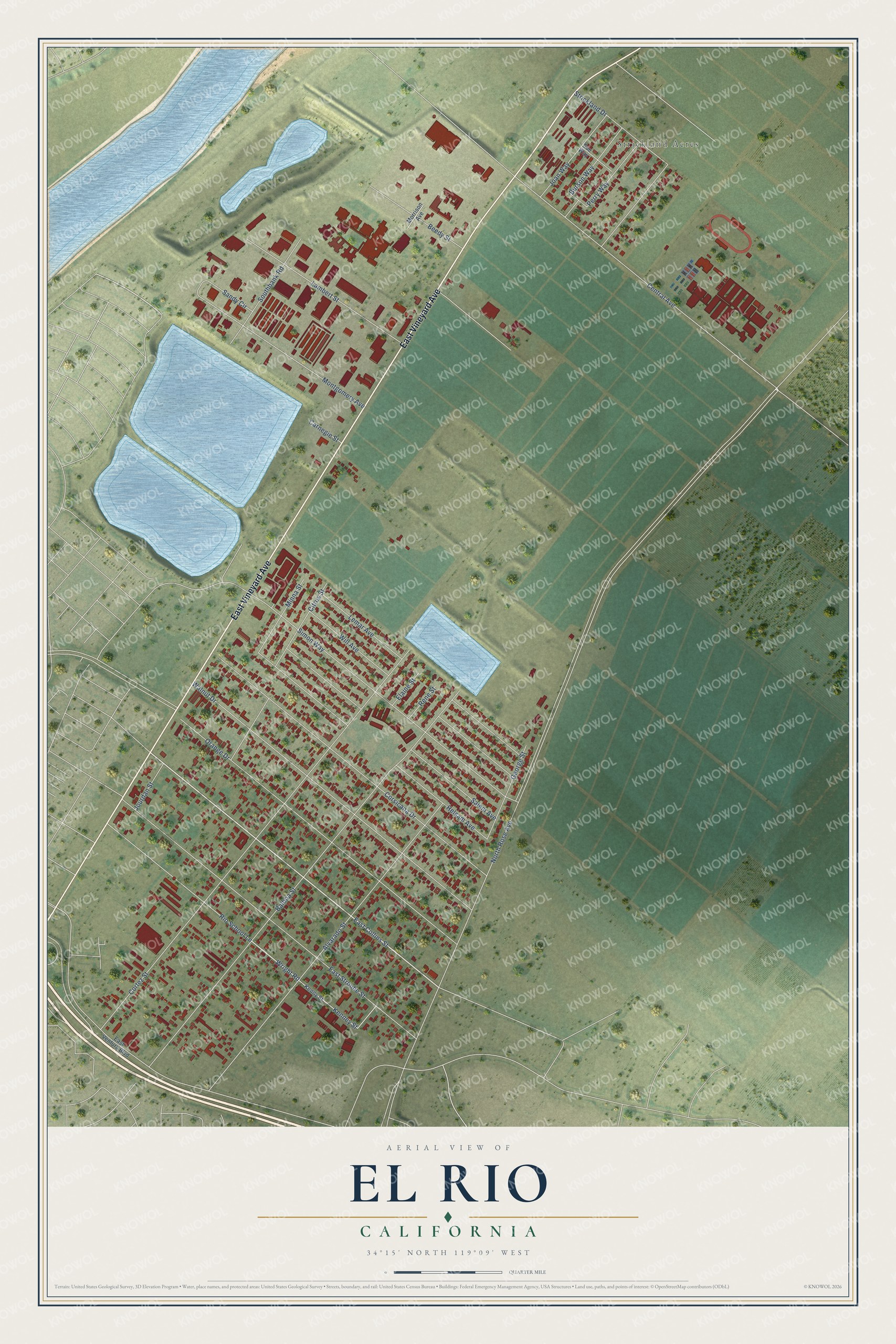
This beautifully detailed map of El Rio, California was created in 2026 using aerial imagery combined with modern topographical, census, street and landmark data. It’s a one-of-a-kind view of El Rio that combines accurate data with a vintage aesthetic. The map shows every building in its true location, many of the roads carry their names, and the shaded topographic relief shows the shape of the land.
Explore an aerial view of El Rio, California
On the map you’ll find Strickland Acres, along with East Vineyard Avenue, Central Avenue, East Collins Street, Wright Road, North Rose Avenue, Cortez Street, Balboa Street, East Stroube Street, Walnut Drive, Orange Drive, Corsicana Drive, and more. If you look closely you can even find your house accurately drawn in its correct location. Zoom in on the preview to look for yours.
Did you know this piece of El Rio, California history?
Simon Cohn, a Prussian Jewish merchant, founded the town in 1875 and named it New Jerusalem. He built a general store and became the first postmaster in 1882. Postal officials renamed the town several times, and by 1905 it was El Rio, Spanish for The River.
Take a closer look at the El Rio map
Street and place names on the El Rio, California map
These names are printed on the map of El Rio, California.
Places: Strickland Acres.
Streets and roads: East Vineyard Avenue, Central Avenue, East Collins Street, Wright Road, North Rose Avenue, Cortez Street, Balboa Street, East Stroube Street, Walnut Drive, Orange Drive, Corsicana Drive, Alvarado Street.
More street names, A to Z
Beedy Street, Burson Way, Carnegie Street, Citrus Street, East Ventura Boulevard, Elaine Street, George Street, Helsam Avenue, Joan Way, Jourdan Street, Kenney Street, Kenny Street, Lambert Street, Lemar Avenue, Minna Street, Montgomery Avenue, Morrison Avenue, Perry Way, Rene Street, Rio School Lane, Salem Avenue, Sandy Circle, Simon Way, Southbank Road, Strickland Drive, Sue Way, Will Avenue.
See the El Rio, California map on a wall
The El Rio map as an 18 x 24 inch print in a black frame.

This beautifully detailed map of El Rio makes an attractive addition to your office, library, or den, and it can even be used to teach children the geography and history of the area. It also makes a great gift for anyone who grew up in El Rio or moved away. When you’re done exploring, click here to get your copy of the El Rio map.