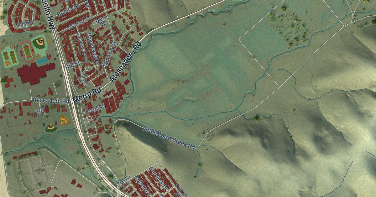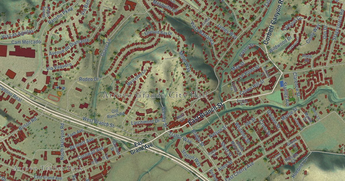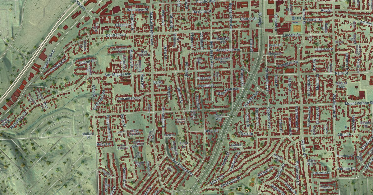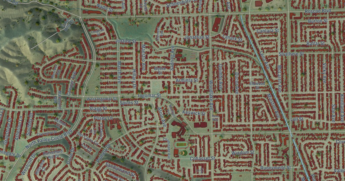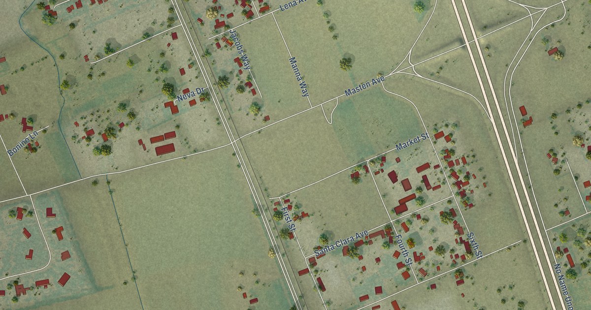
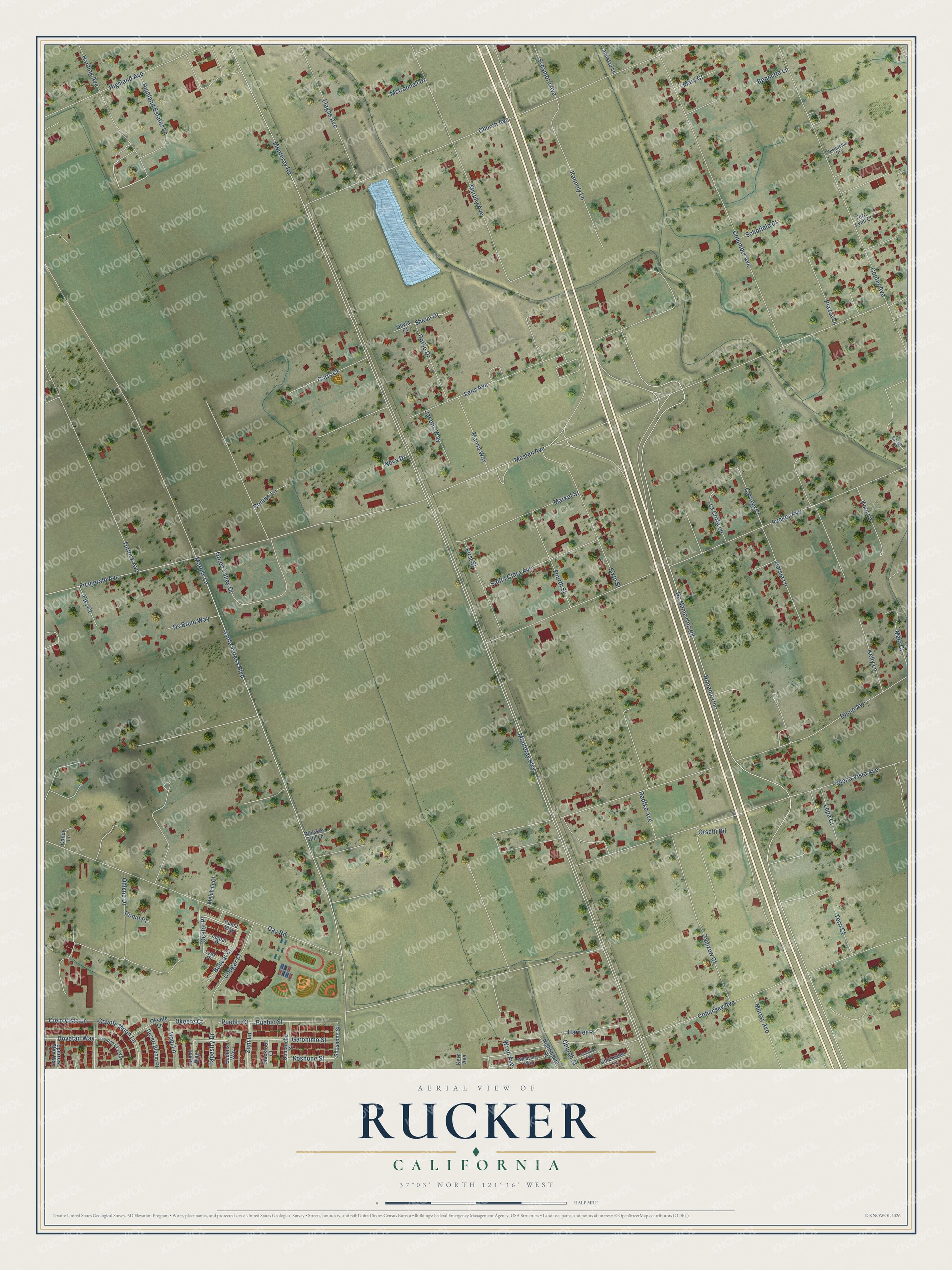
This beautifully detailed map of Rucker, California was created in 2026 using aerial imagery combined with modern topographical, census, street and landmark data. It’s a one-of-a-kind view of Rucker that combines accurate data with a vintage aesthetic. The map shows every building in its true location, many of the roads carry their names, and the shaded topographic relief shows the shape of the land.
Explore an aerial view of Rucker, California
On the map you’ll find Ocelot Place and Noname Uno, along with Monterey Road, Monterey Highway, Santa Teresa Boulevard, No Name Uno Road, Day Road, Masten Avenue, Murphy Lane, Church Avenue, Cohansey Avenue, Rucker Avenue, and more. If you look closely you can even find your house accurately drawn in its correct location. Zoom in on the preview to look for yours.
Did You Know?
From Internet Archive: "The first heat was closely contested from start to finish, Rucker leading by half a length, Wilkes running all the way."
Rucker is a community in Santa Clara County.
Take a closer look at the Rucker map
Names on this map
These names are printed on this map.
Streets and roads: Ocelot Place, Monterey Road, Monterey Highway, Santa Teresa Boulevard, No Name Uno Road, Noname Uno, Day Road, Masten Avenue, Murphy Lane, Church Avenue, Cohansey Avenue, Rucker Avenue.
More street names, A to Z
Amistad Lane, Bennetta Lane, Blackfoot Court, Bobcat Court, Bonino Lane, Borges Court, Buena Vista Avenue, Candy Lane, Carls Court, Carolyn Court, Center Avenue, Chickadee Lane, Church Street, Cielo Vista Lane, Columbet Avenue, Comanche Street, Cougar Court, Coyote Moon Lane, De Bruin Way, Denio Avenue, Desert Bloom Place, Dovetail Way, First Street, Fitz Court, Fitzgerald Avenue, Fourth Street, Garcia Lane, Geronimo Street, Golden Sky Way, Green Valley Drive, Harding Avenue, Harrier Place, Highland Avenue, Highland Estates Lane, Hopi Lane, Jacobs Way, Jaguar Place, Kannely Lane, Kelly Lane, Kern Avenue, Korn Lane, Koshone Street, La Corte Lane, Laredo Way, Lena Avenue, Lepa Court, Llagas Avenue, Lynx Place, Malo Court, Manna Way, Market Street, Mary Court, McConnell Drive, Melchoir Court, Murphy Avenue, Murray Avenue, Neva Drive, Nightingale Drive, Ohlone Drive, Okeefe Court, Okeefe Lane, Olivia Court, Orsetti Road, Piazza Lane, Pomo Place, Pueblo Court, Pueblo Street, Puma Way, Radtke Avenue, Rothe Drive, Sandpiper Way, Santa Clara Avenue, Schofield Court, Sedona Way, Shean Court, Shoshone Street, Sixth Street, Sparrow Glen Way, Sycamore Avenue, Tapestry Drive, Terri Court, Terri Lynn Court, Turlock Avenue, Venturella Drive, Whiskey Hill Lane, Windsong Way, Wren Avenue, Zamzow Court, Zuni Lane.
See it on a wall
The Rucker map as a framed print. Swipe for more.


This beautifully detailed map of Rucker makes an attractive addition to your office, library, or den, and it can even be used to teach children the geography and history of the area. It also makes a great gift for anyone who grew up in Rucker or moved away. When you’re done exploring, click here to get your copy of the Rucker map.