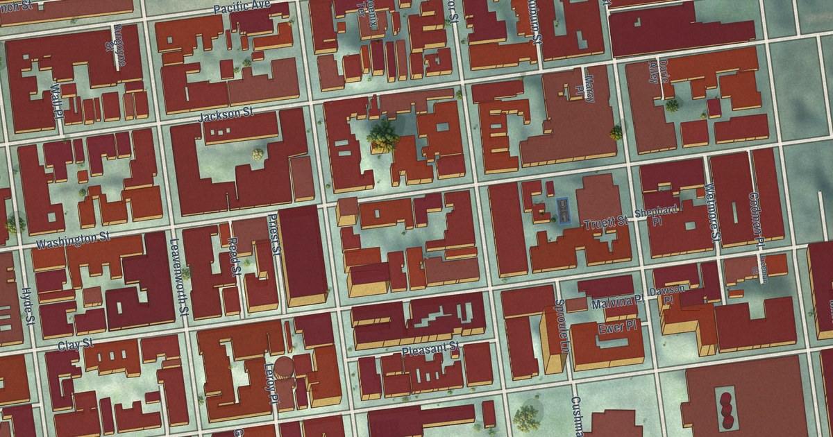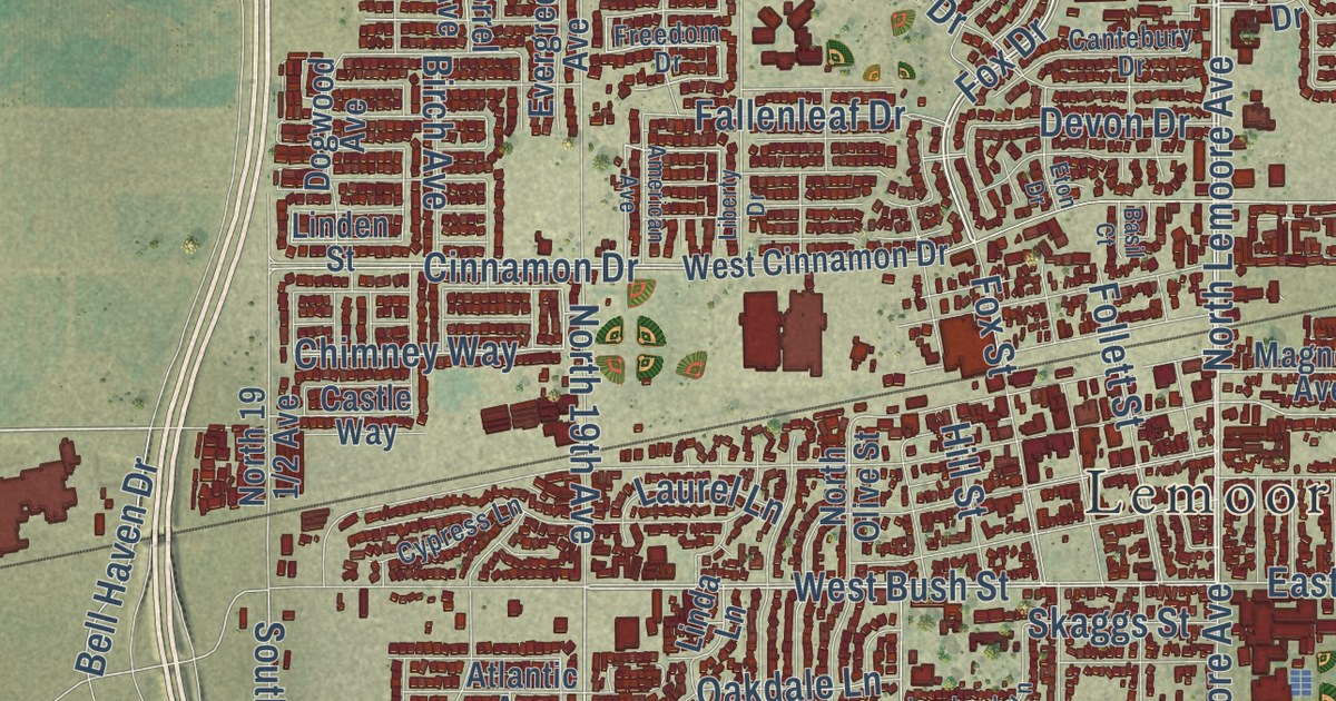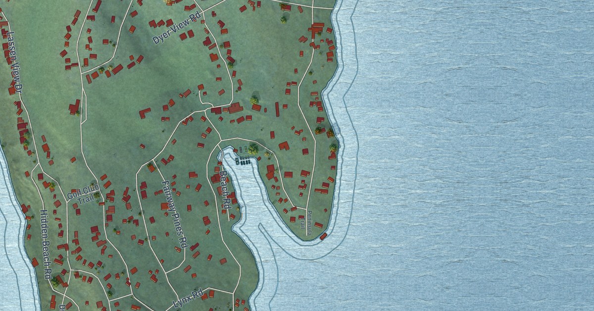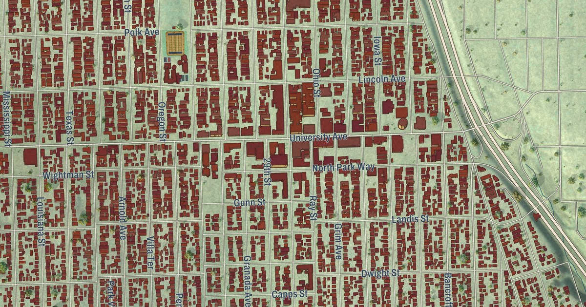
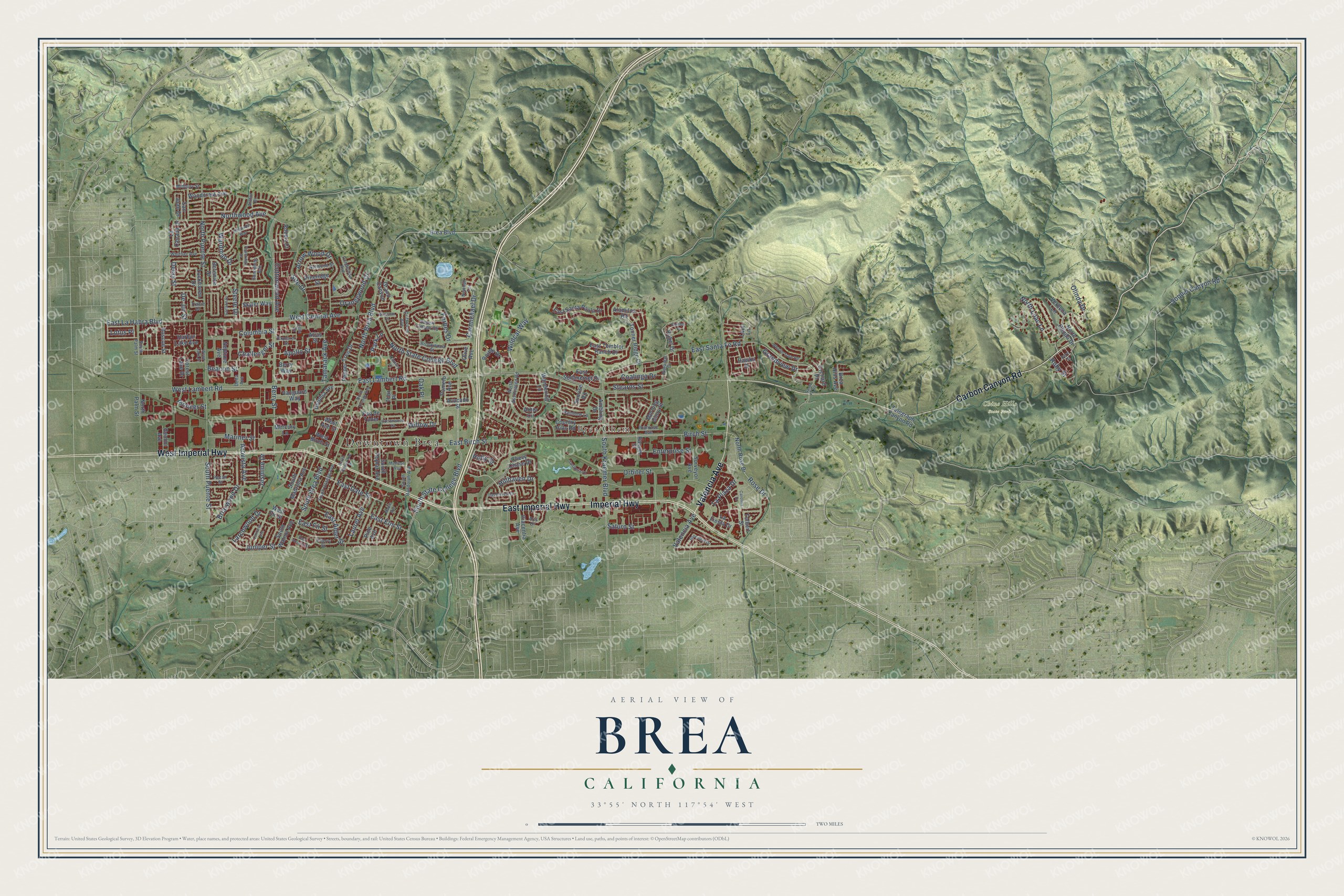
This beautifully detailed map of Brea, California was created in 2026 using aerial imagery combined with modern topographical, census, street and landmark data. It’s a one-of-a-kind view of Brea that combines accurate data with a vintage aesthetic. The map shows every building in its true location, many of the roads carry their names, and the shaded topographic relief shows the shape of the land.
Explore an aerial view of Brea, California
On the map you’ll find Downtown Brea, Brea Chem, and Chino Hills State Park, along with East Imperial Highway, Imperial Highway, Carbon Canyon Road, West Imperial Highway, Valencia Avenue, East Lambert Road, West Lambert Road, North State College Boulevard, Birch Street, and more. If you look closely you can even find your house accurately drawn in its correct location. Zoom in on the preview to look for yours.
Did you know this piece of Brea, California history?
From the Unvarnished History: "Oil, discovered in Olinda in 1894, led to the development of Randolph, later named Brea."
Take a closer look at the Brea map
Street and place names on the Brea, California map
These names are printed on the map of Brea, California.
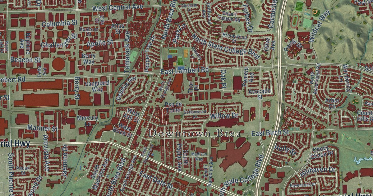
Places: Downtown Brea, Brea Chem and Chino Hills State Park.
Streets and roads: East Imperial Highway, Imperial Highway, Carbon Canyon Road, West Imperial Highway, Valencia Avenue, North State College Boulevard, North Brea Boulevard, North Lilac Lane, Hillhaven Drive, South Brea Boulevard, South State College Boulevard, East Date Street.
More street names, A to Z
Alamitos Road, Ambling Drive, Apollo Street, Arbor Circle, Arovista Avenue, Arrow Wood Drive, Arthur Drive, Arts Drive, Atlas Street, Avocado Street, Beacon Street, Berenice Drive, Berry Street, Berry Way, Beryl Street, Birch Street, Blossom Place, Brea Boulevard, Brea Hills Avenue, Briarwood Drive, Brookwood Street, Carlson Drive, Carmichael Drive, Carolina Drive, Challenger Street, Cherry Street, Chevy Chase Drive, Coalinga Drive, Columbia Street, Cottonwood Avenue, Cottonwood Drive, Country Hills Road, Country Lane, De Jur Street, Delay Street, Delphia Avenue, Delta Avenue, Desert Canyon Road, Driftwood Avenue, East Acacia Street, East Alder Street, East Birch Street, East Elm Street, East Fir Street, East La Habra Boulevard, East Lambert Road, East Santa Fe Road, East Santa Paula Drive, East Sommerset Drive, East Temblor Ranch Drive, Ellis Drive, Enterprise Street, Ethelinda Way, Explorer Street, Fawnridge Drive, Forbes Drive, Forest Lake Drive, Gemini Avenue, Grand Canyon, Grandview Drive, Greenleaf Drive, Harbor Lake Avenue, Hawks Drive, Holly Street, Jasmine Drive, Juniper Street, La Canada Drive, La Fiesta Drive, Lantana Avenue, La Plaza Drive, Larchwood Drive, Lark Lane, Laurel Avenue, Lockhaven Drive, Lotus Place, Madison Way, Maple Avenue, Mariner Street, Mercury Lane, Midbury Street, Morning Glory Street, Naranjal Drive, Neptune Avenue, Newhall Terrace, North Associated Road, North Olinda Drive, North Orange Avenue, North Palm Street, North Puente Street, North Rose Drive, Northwood Avenue, Nutwood Street, Oak Place, Olinda Drive, Olive Avenue, Orangewood Drive, Orbiter Street, Orchard Place, Park Lane, Pecan Street, Pepper Tree Drive, Phillips Court, Piacentia Avenue, Pine Avenue, Pineridge Street, Pioneer Street, Pointe Drive, Pomelo Avenue, Ponderosa Avenue, Primrose Avenue, Pso de Toner, Rainbow Lane, Ranger Street, Ravencrest Drive, Robert Court, Roscoe Street, Rose Drive, Rubel Drive, Ruby Street, Sanabria Lane, San Juan Drive, Santa Fe Road, Saturn Street, Site Drive, Skyler Way, Soquel Canyon Road, South Flower Avenue, South Kraemer Boulevard, South Madrona Avenue, South Orange Avenue, South Palm Street, South Poplar Avenue, South Puente Street, South Randolph Avenue, South Walnut Avenue, Stearns Street, Steele Drive, Sunnyhills Avenue, Sunrise Road, Surveyor Avenue, Tamarack Avenue, Telegraph Canyon Road, Thor Place, Tolbert Street, Tonner Ridge Drive, Tracie Drive, Vanguard Way, Verbena Lane, Wandering Lane, Wardman Drive, West Ash Street, West Birch Street, West Central Avenue, West Fir Street, West Lambert Road, Whistle Train Road, Whittier Avenue, Wildcat Way, Willow Drive, Woodcrest Avenue, Wood Lake Drive.
See the Brea, California map on a wall
The Brea map as an 18 x 24 inch print in a black frame.

This beautifully detailed map of Brea makes an attractive addition to your office, library, or den, and it can even be used to teach children the geography and history of the area. It also makes a great gift for anyone with Brea roots. When you’re done exploring, click here to get your copy of the Brea map.