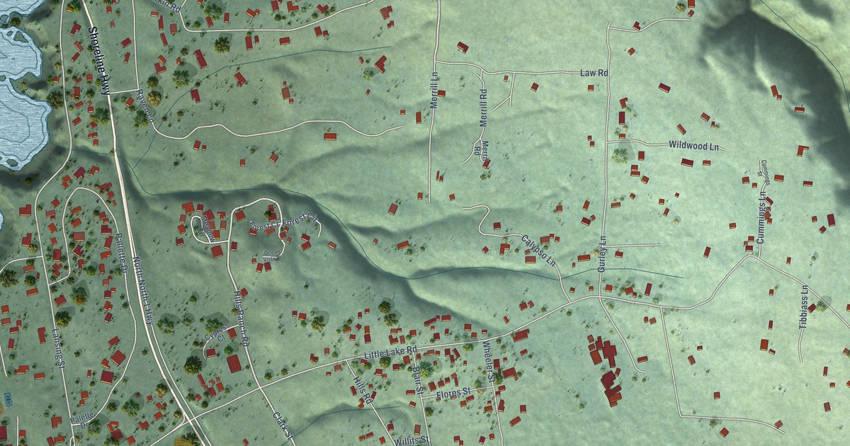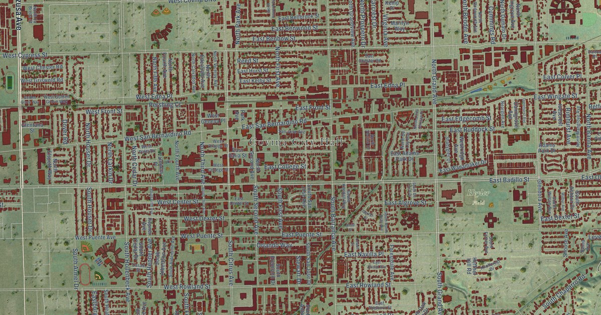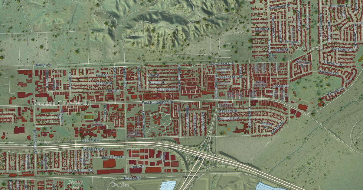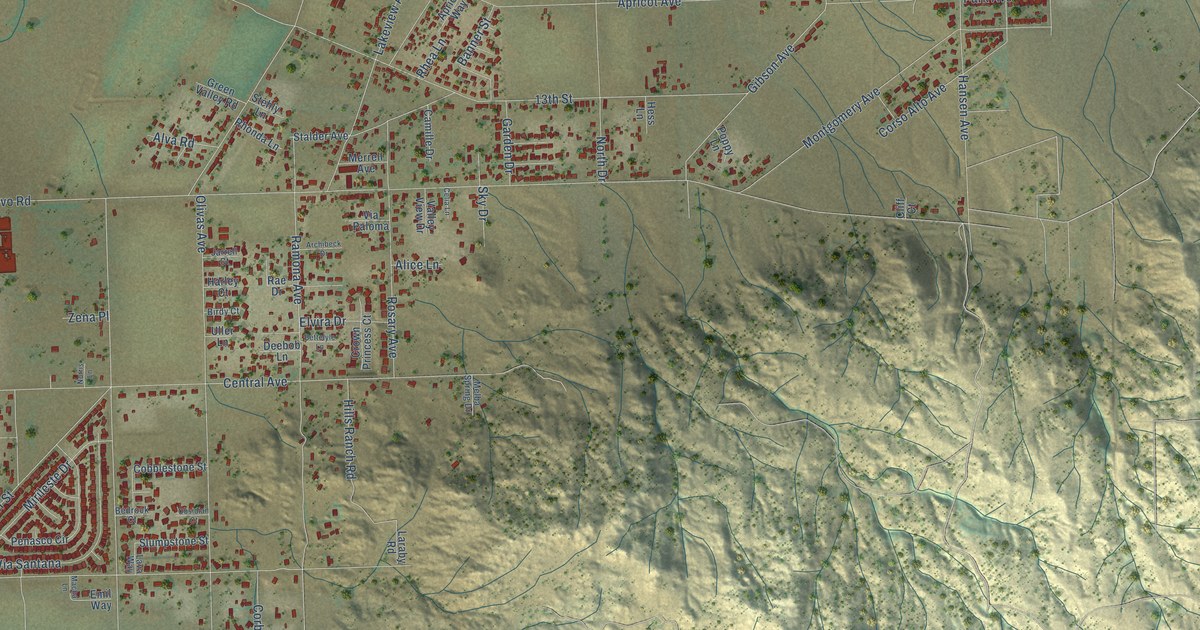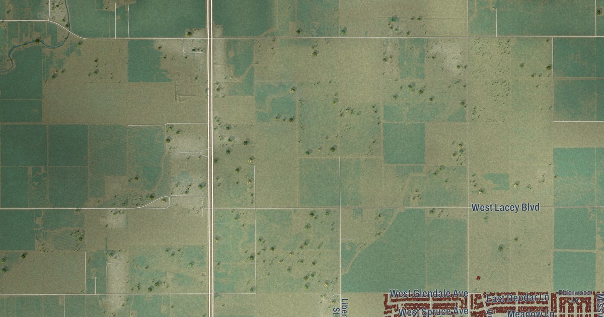
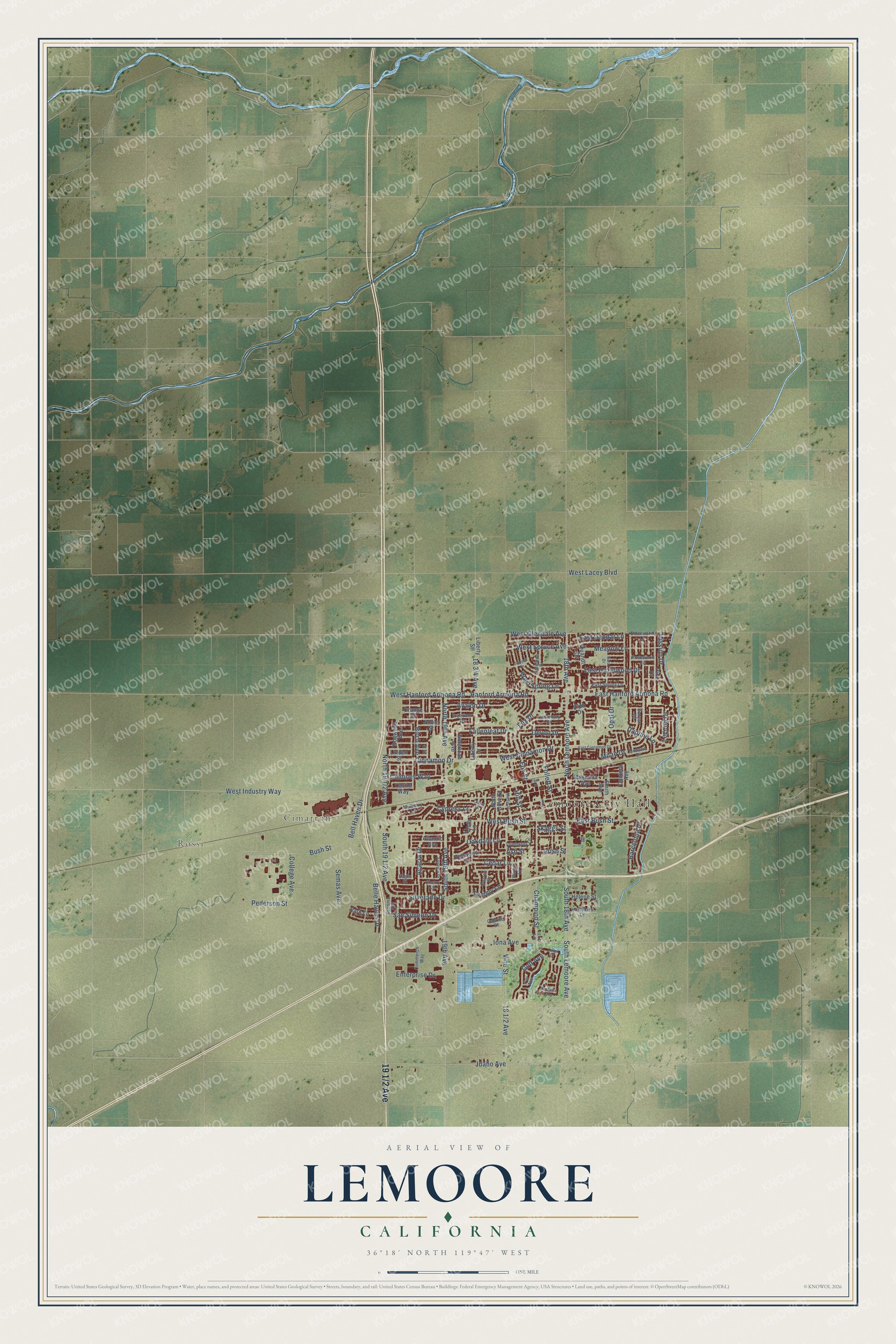
This beautifully detailed map of Lemoore, California was created in 2026 using aerial imagery combined with modern topographical, census, street and landmark data. It's a modern aerial view of Lemoore in Kings County, California, that combines modern data with a vintage aesthetic. The roads feature printed names, and if you look closely you can find your exact house accurately shown in its correct location.
Explore an aerial view of Lemoore, California
On this map you'll find Lemoore City Hall, Rossi, Cimarron, 19 1/2 Avenue, North Lemoore Avenue, West Hanford Armona Road, West Industry Way, Fox Street, Fox Drive, Bell Haven Drive, East Hanford Armona Road, Barcelona Drive, and more. Each red shape is a building, so zoom in on the preview and look for yours.
Lemoore is a city in Kings County. The Census Bureau counted 27,038 people here in 2020. The map prints the town name in its title panel, with the coordinates below it.
Take a closer look at the Lemoore map
Names on this map
These names are printed on this map.
Places: Lemoore City Hall, Rossi and Cimarron.
Streets and roads: North Lemoore Avenue, West Hanford Armona Road, West Industry Way, Fox Street, Fox Drive, Bell Haven Drive, East Hanford Armona Road, Barcelona Drive, Avalon Drive, West Spruce Avenue, Cinnamon Drive, South 19th Avenue.
More street names, A to Z
18th Avenue, 19th Avenue, Acacia Drive, American Avenue, Antelope Drive, Ash Street, Atlantic Avenue, Banyan Drive, Beech Lane, Belle Haven Drive, Birch Avenue, Bush Street, Cabrillo Street, Cantebury Drive, Cantera Avenue, Castle Way, Cedar Lane, Champion Street, Cherry Lane, Chimney Way, Club Drive, College Avenue, Commerce Way, Cypress Lane, Daphne Lane, Devon Drive, Dogwood Avenue, Eagle Street, East Bush Street, East Cinnamon Drive, East Deodar Lane, East Hazelwood Drive, East Spring Lane, East Street, Elderwood Lane, Enterprise Drive, Fairview Drive, Fallenleaf Drive, Fir Street, Follett Street, Freedom Drive, Golf Avenue, Hanford Armona Road, Helene Street, Hill Street, Hotchkiss Drive, Idaho Avenue, Iona Avenue, Juniper Lane, Lake Drive, Larish Street, Laurel Lane, Legend Drive, Liberty Drive, Liberty Street, Linda Lane, Linden Street, Lombardy Lane, Magnolia Avenue, Martin Street, Meadow Lane, Milan Drive, Mission Drive, Monaco Drive, Mulberry Lane, Noble Street, North 19th Avenue, North Olive Street, Oakdale Lane, Opal Drive, Orange Street, Paradise Loop, Par Avenue, Park Lane, Pederson Street, Pine Drive, Quandt Drive, Redwood Lane, Rosewood Lane, San Simeon Drive, Sara Drive, Semas Avenue, Silverado Drive, Skaggs Street, Smith Avenue, Sonoma Avenue, South 18th Avenue, South Lemoore Avenue, Tammy Lane, Vine Street, Warren Drive, West Bush Street, West Cinnamon Drive, West Glendale Avenue, West Lacey Boulevard, West Spring Lane.
Created by KNOWOL in 2026. The buildings are small red shapes, the roads carry their printed names, and shaded relief shows the shape of the land. The title panel reads "AERIAL VIEW OF LEMOORE CALIFORNIA" with 36°18' NORTH 119°47' WEST.
Hang it in the hallway, the office or the cabin, or give it to someone who left Lemoore and still calls it home. Open the preview and look for a street you know. See sizes and frames for the Lemoore map.