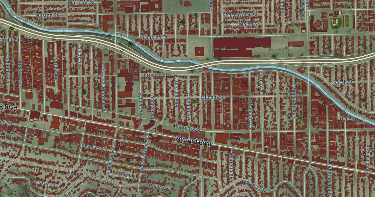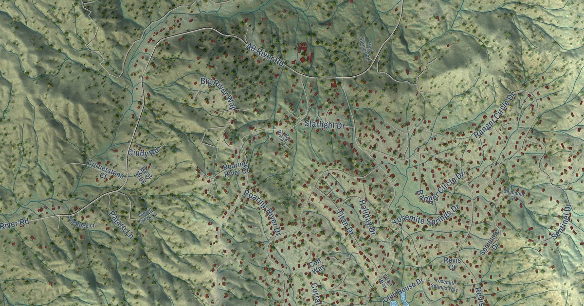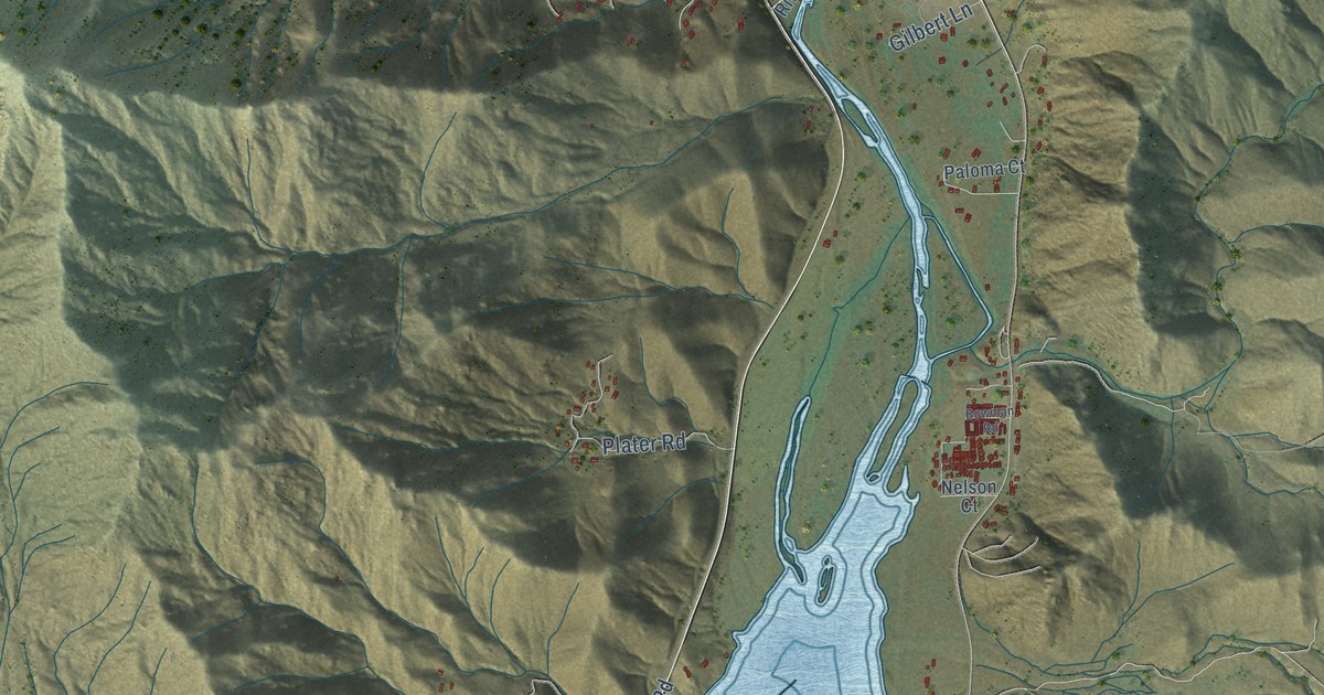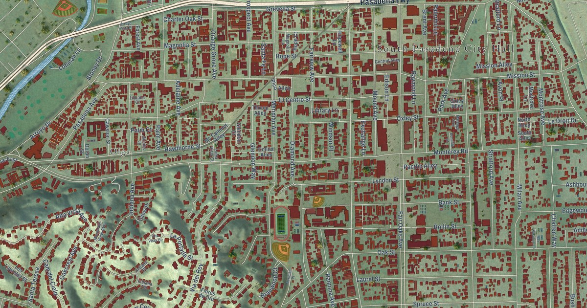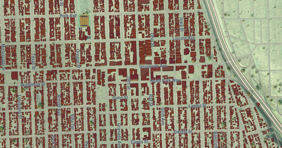
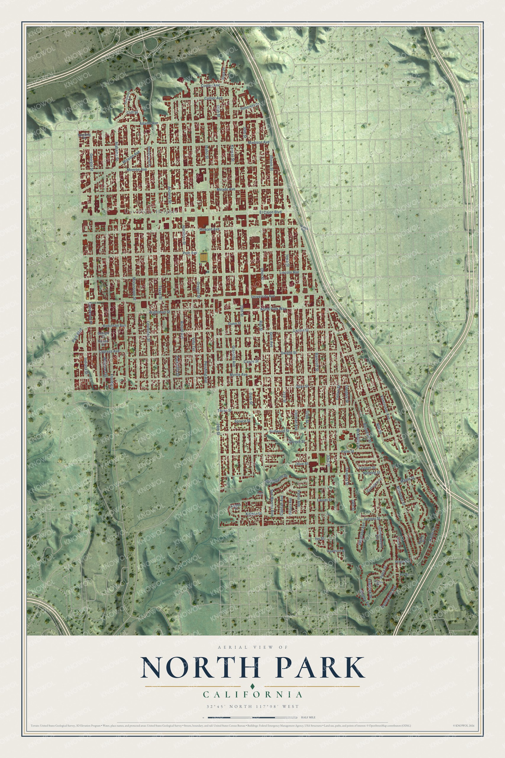
This beautifully detailed map of North Park, California was created in 2026 using aerial imagery combined with modern topographical, census, street and landmark data. It's a modern aerial view of North Park in San Diego County, California, that combines modern data with a vintage aesthetic. The roads feature printed names, and if you look closely you can find your exact house accurately shown in its correct location.
Explore an aerial view of North Park, California
On this map you'll find University Heights, University Avenue, Upas Street, 33rd Street, Bancroft Street, 29th Street, Texas Street, Juniper Street, Boundary Street, 30th Street, 32nd Street, Utah Street, and more. Each red shape is a building, so zoom in on the preview and look for yours.
Here is a piece of North Park history, in the words of the record. The City of San Diego puts it this way: "North Park traces its development history to shortly after the turn of the 20th century when land in the vicinity of 30th Street and University Avenue was subdivided."
North Park is a place in San Diego County.
Take a closer look at the North Park map
Names on this map
These names are printed on this map.
Places: University Heights.
Streets and roads: University Avenue, Upas Street, 33rd Street, Bancroft Street, 29th Street, Texas Street, Juniper Street, Boundary Street, 30th Street, 32nd Street, Utah Street, Arizona Street.
More street names, A to Z
28th Street, 31st Street, 34th Street, Adams Avenue, Alabama Street, Arnold Avenue, Becky Place, Burlingame Drive, Capitan Avenue, Capps Street, Cliff Street, Collier Avenue, Commonwealth Avenue, Cooper Street, Copley Avenue, Covington Road, Crestwood Place, Cypress Avenue, Dale Street, Dulzura Avenue, Dwight Street, El Cajon Boulevard, Felton Street, Fir Street, Florida Court, Florida Street, Friedrick Drive, Georgia Court, Georgia Street, Granada Avenue, Grape Street, Gregory Street, Grim Avenue, Gunn Street, Haller Street, Hamilton Street, Hawthorn Street, Herman Avenue, Howard Avenue, Idaho Street, Illinois Street, Indiana Street, Iowa Street, Ivy Street, Jacot Lane, Kalmia Place, Kalmia Street, Kansas Street, Landis Street, Laurel Street, Lincoln Avenue, Louisiana Street, Madison Avenue, Maple Court, Maple Street, McKinley Street, Meade Avenue, Mission Avenue, Mississippi Street, Monroe Avenue, Montclair Street, Myrtle Avenue, Nile Street, North Park Way, Nutmeg Street, Ohio Street, Olive Street, Orange Avenue, Oregon Street, Palm Street, Pamo Avenue, Panorama Drive, Park Boulevard, Park Villa Drive, Pentuckett Avenue, Pershing Avenue, Petra Drive, Polk Avenue, Quince Street, Ray Street, Redwood Street, Robinson Avenue, San Marcos Avenue, Shirley Ann Place, Spalding Place, Spruce Street, Suncrest Drive, Teresita Street, Thorn Street, Vancouver Avenue, Vienna Street, Villa Terrace, Vista Place, Westland Avenue, Whaley Avenue, Wightman Street, Wilshire Terrace.
Created by KNOWOL in 2026. The buildings are small red shapes, the roads carry their printed names, and shaded relief shows the shape of the land. The title panel reads "AERIAL VIEW OF NORTH PARK CALIFORNIA" with 32°45' NORTH 117°08' WEST.
It suits a den, a classroom or a front hall, and it makes a gift for anyone with North Park roots. Open the preview and find the block you know. See sizes and frames for the North Park map.