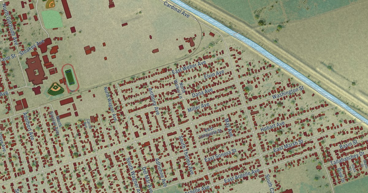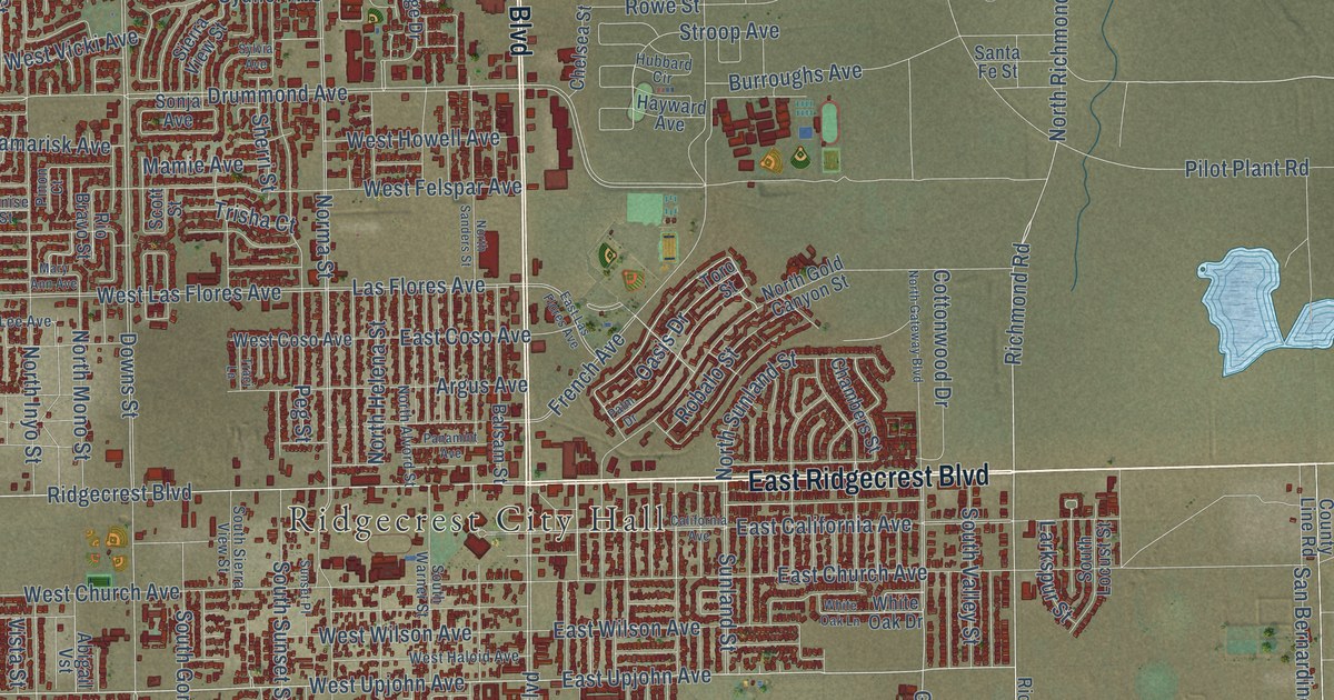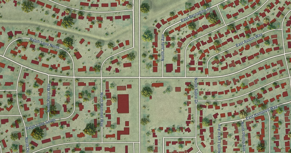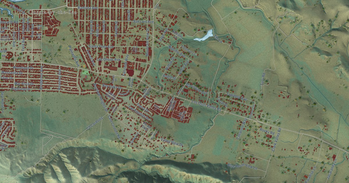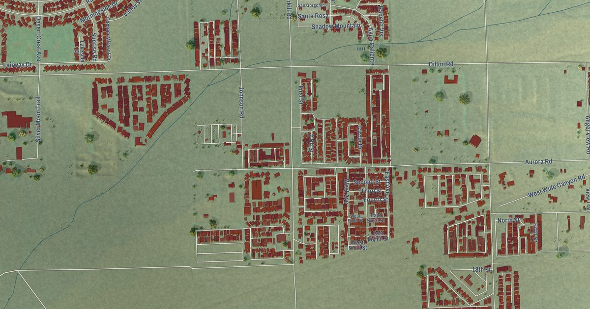
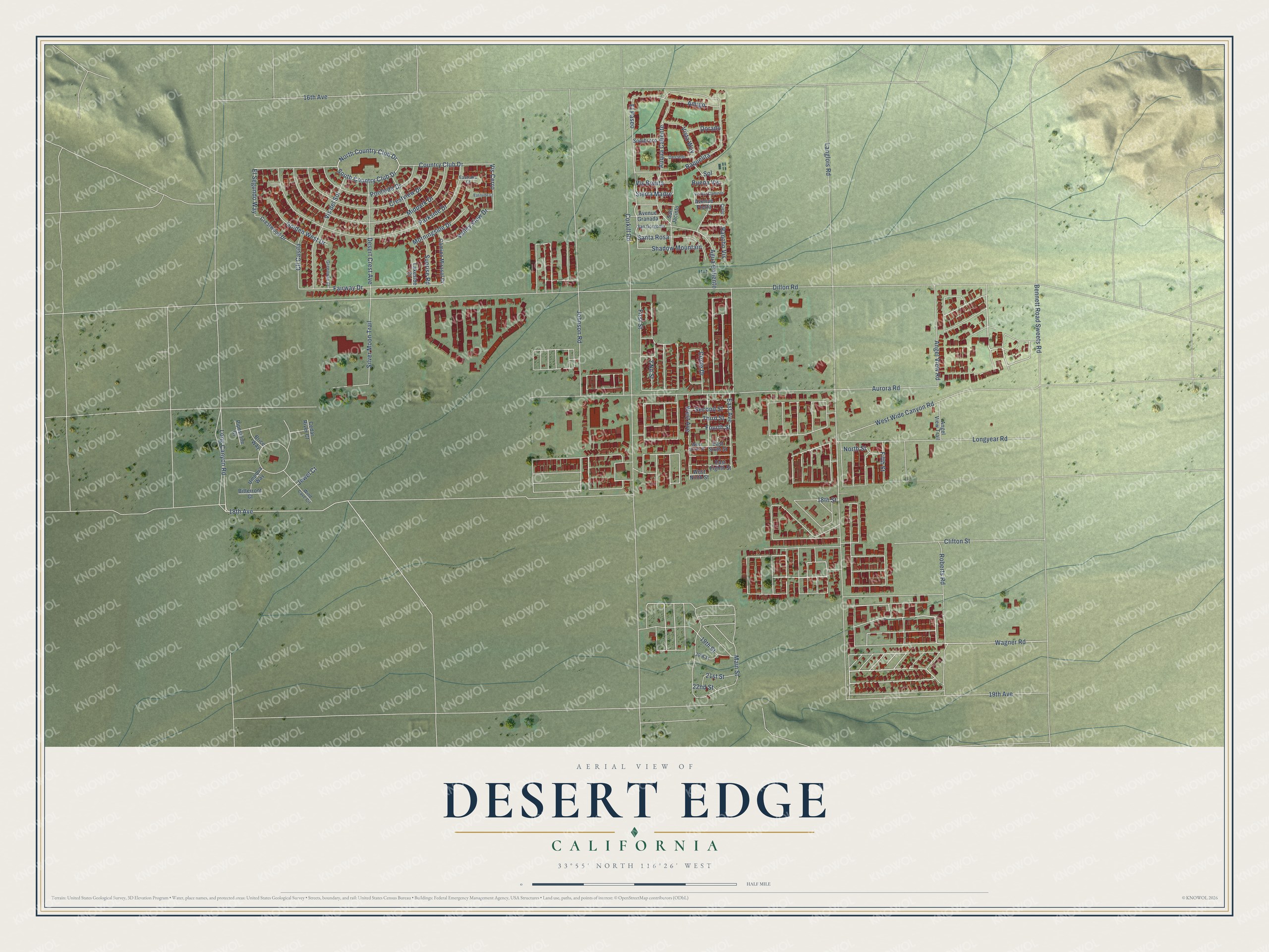
This beautifully detailed map of Desert Edge, California was created in 2026 using aerial imagery combined with modern topographical, census, street and landmark data. It's a modern aerial view of Desert Edge in Riverside County, California, that combines modern data with a vintage aesthetic. The roads feature printed names, and if you look closely you can find your exact house accurately shown in its correct location.
Explore an aerial view of Desert Edge, California
On this map you'll find Wagner Road, Sierra Madre, El Paseo, Country Club Drive, 18th Avenue, North Country Club Drive, South Country Club Drive, Vis Cerro, El Segundo Way, Johnson Road, Fairway Drive, Circle Drive, and more. Each red shape is a building, so zoom in on the preview and look for yours.
Desert Edge is a community in Riverside County. The Census Bureau counted 4,180 people here in 2020. Desert Edge sits about 2 miles east of Garnet, 5 miles northwest of Sky Valley and 6 miles north of Cathedral City. The map prints the town name in its title panel, with the coordinates below it.
Take a closer look at the Desert Edge map
Names on this map
These names are printed on this map.
Streets and roads: Wagner Road, Sierra Madre, El Paseo, Country Club Drive, 18th Avenue, North Country Club Drive, South Country Club Drive, Vis Cerro, El Segundo Way, Johnson Road, Fairway Drive, Circle Drive.
More street names, A to Z
2 Nd Street, 16th Avenue, 18th Street, 19th Avenue, 19th Street, 20th Street, 21st Street, 22nd Street, Agua Caliente, Amigo, Angel View Road, Angel View Trail, Auqua Caliente, Aurora Road, Avenue Fiesta, Avenue Granada, Bennett Road Sweets Road, Bitterroot Court, Brice Way, Buena Vis, Camino Mirasol Drive, Cedar River Court, Cielo, Clifton Street, Cll Casita, Corkill Road, Crestview Drive, Crestwood Drive, Desert Crest Avenue, Destello, Dillon Road, Dorado, East Avenue, East Eighth Street, Eastlake Court, Eastside Court, East Sixth Street, Fifth Street, First Street, Fourth Street, Golden West Drive, Greenway Court, Jewel Court, Lakeside Court, Langlois Road, Long Canyon Road, Longyear Road, Main Street, Midpark Drive, Morningside Drive, North Street, Parkside Drive, Pipestone Court, Poolside Drive, Rancho Vis, Raquelita, Roberts Road, San Gorgonio, San Jacinto, Santa Rosa, Second Street, Shadow Mountain, Silver Moon Trail, Sol, Sombrero, Sunrise Road, Third Street, Umpqua Way, Valley View Drive, Via Dos Caminos, Vis Bonita, Vis del Sol, Vista Way, West Avenue, West Ninth Street, West Sixth Street, West Wide Canyon Road, Wind Cave Circle.
See it on a wall
The Desert Edge map as a framed print. Swipe for more.


Created by KNOWOL in 2026. The buildings are small red shapes, the roads carry their printed names, and shaded relief shows the shape of the land. The title panel reads "AERIAL VIEW OF DESERT EDGE, CALIFORNIA" with 33°55' NORTH 116°26' WEST.
Hang it in the hallway, the office or the cabin, or give it to someone who left Desert Edge and still calls it home. Open the preview and look for a street you know. See sizes and frames for the Desert Edge map.