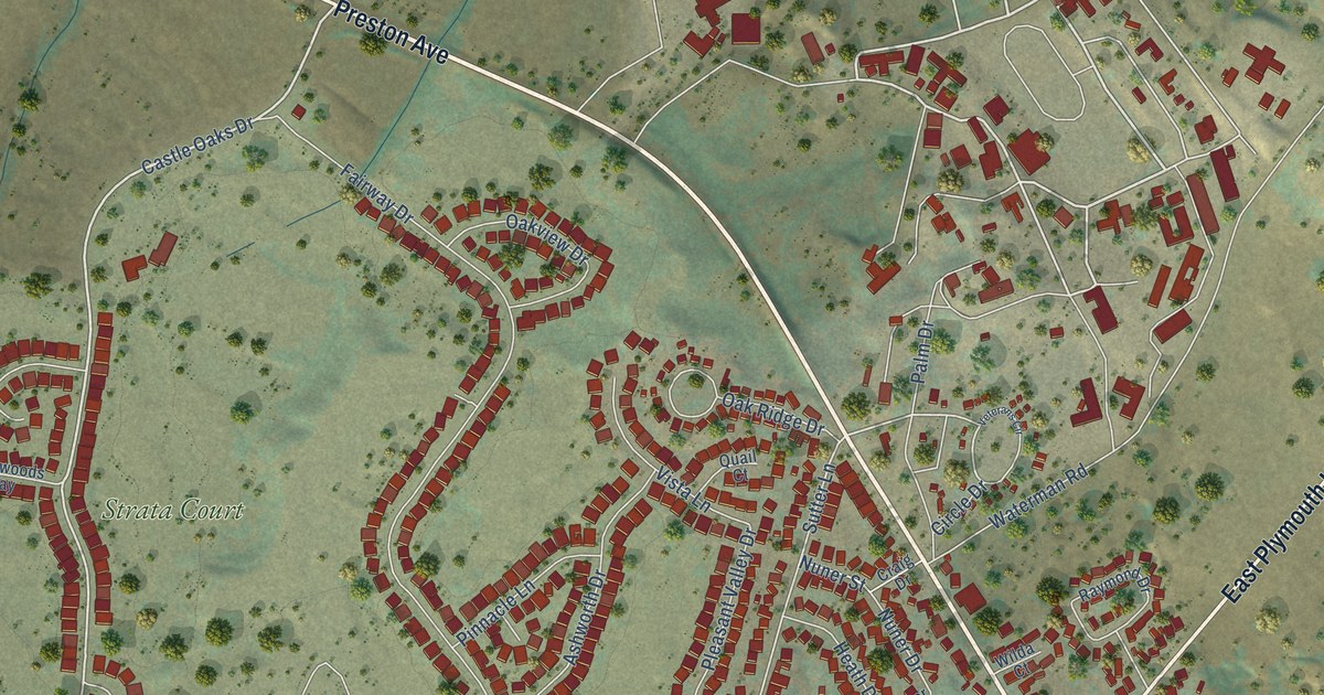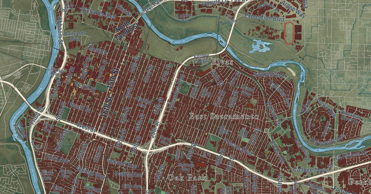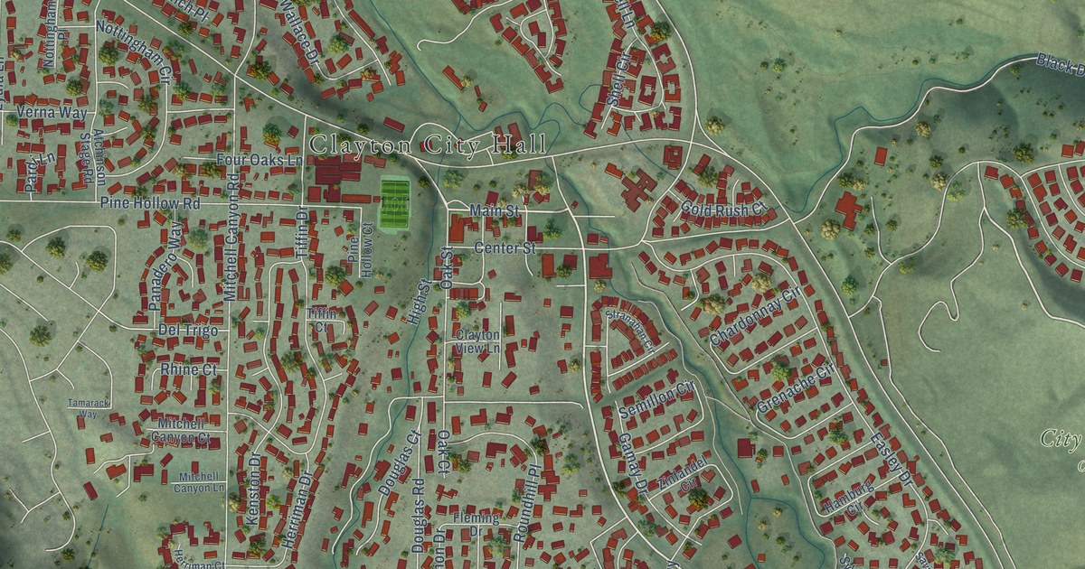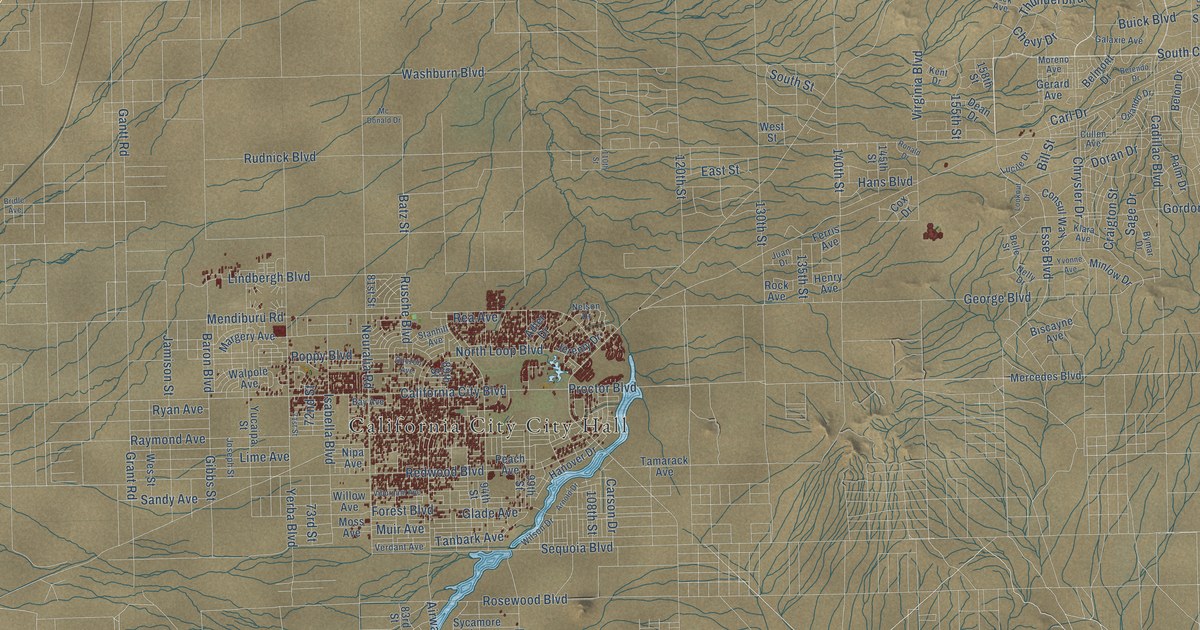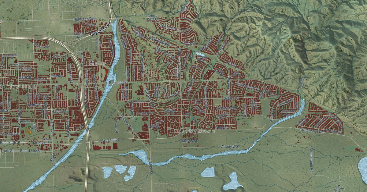
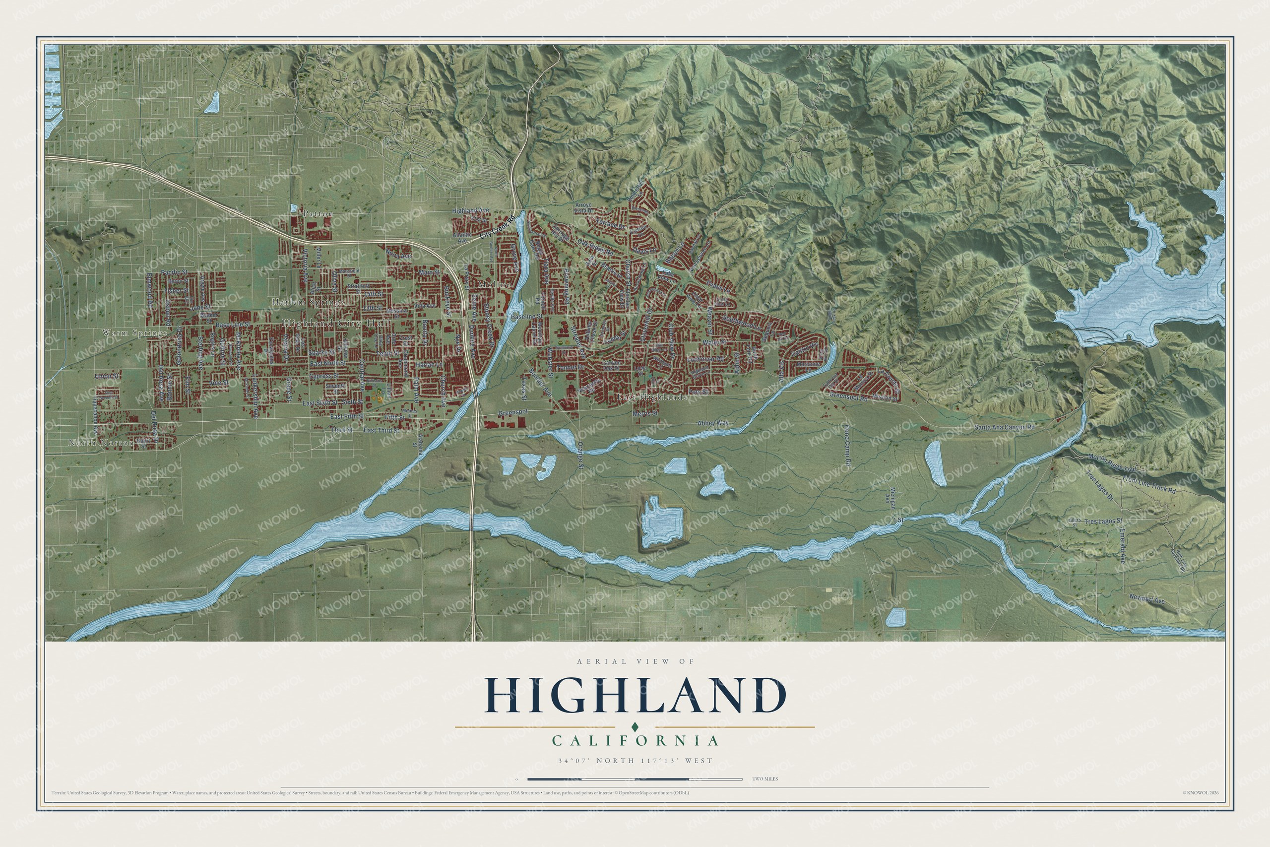
This beautifully detailed map of Highland, California was created in 2026 using aerial imagery combined with modern topographical, census, street and landmark data. It's a modern aerial view of Highland in San Bernardino County, California, that combines modern data with a vintage aesthetic. The roads feature printed names, and if you look closely you can find your exact house accurately shown in its correct location.
Explore an aerial view of Highland, California
On this map you'll find Highland City Hall, North Norton, Warm Springs, East Highlands, Harlem Springs, Molino, Patton, Fifth Street, East Fifth Street, Davis Lane, Cloverhill Drive, Church Avenue, and more. Each red shape is a building, so zoom in on the preview and look for yours.
Every town has a first chapter, and Highland is no exception. The Historical Marker Database puts it this way: "Highland played an important role in the Citrus Belt of the San Bernardino Valley. Historic development began during the 1850's when members of the Cram and Van Leuven families settled at the base of the East Highlands bench."
Highland is a city in San Bernardino County. The Census Bureau counted 56,999 people here in 2020.
Take a closer look at the Highland map
Names on this map
These names are printed on this map.
Places: Highland City Hall, North Norton, Warm Springs, East Highlands, Harlem Springs, Molino and Patton.
Streets and roads: Fifth Street, East Fifth Street, Davis Lane, Cloverhill Drive, Church Avenue, 13th Street, Orange Street, Santa Ana Canyon Road, Greenspot Road, Baseline Street, Highland Avenue, East Ninth Street.
More street names, A to Z
1 Street, 14th Street, 21st Street, Abbey Way, Alabama Street, Alice Street, Alta Vis, Amberwood Lane, Aplin Street, Argyle Avenue, Arroyo Vista Drive, Atlantic Avenue, Autumn Chase Drive, Bacon Lane, Base Line Street, Beattie Street, Bonita Drive, Bonnie Street, Boulder Avenue, Bristol Street, Brookings Lane, Browning Road, Buckeye Street, Byron Street, Calle del Rio Street, Canyon Oak Drive, Carriage Hill Drive, Central Avenue, Centro Vis, Church Street, City Creek Road, Clear View Lane, Club View Drive, Cole Avenue, Cone Camp Road, Court Street, Crest Street, Crest View Lane, Crimson Drive, Cypress Street, Del Rosa Avenue, Del Rosa Drive, Drummond Avenue, Dunkirk Avenue, Easton Lane, East Seventh Street, East Sixth Street, East Third Street, Elm Avenue, Elm Street, Elmwood Road, Emerald Avenue, Emmerton Lane, Eucalyptus Drive, Evans Lane, Fisher Street, Fletcher View Drive, Front Line Truck Road, Gala Street, Golondrina Drive, Grape Street, Greenspot, Grove Avenue, Guthrie Street, Harlan Lane, Hibiscus Street, Highland Grove Lane, High Line Aqueduct Road, Hillview Street, Jane Street, La Cresta Street, Lake Ridge Lane, Lake View Lane, La Monica Street, Lankershim Avenue, La Praix Street, Lemon Street, Lillian Lane, Lochinvar Road, Los Feliz Drive, Love Street, Main Street, Mansfield Street, Marianne Lane, McKinley Avenue, McKinley Street, Meines Street, Merris Street, Messina Street, Michigan Avenue, Miller Lane, Mission Street, Morton Ridge Trail, Mountain Laurel Drive, Newcastle Road, Newcomb Street, Newport Avenue, Nona Avenue, North Boulder Avenue, North Fork Road, Nye Drive, Oak Court, Oak Ridge Road, Olive Street, Olive Tree Lane, Osbun Road, Pacific Street, Palm Avenue, Plunge Creek Road, Polo Street, Powell Drive, Randall Lane, Red Hill Road, Regal Oaks Road, Rockspring Lane, Rogers Lane, Seine Avenue, Sequoia Lane, Seventh Street, Seville Avenue, Sixth Street, Southwood Lane, Sparks Street, Sterling Avenue, Stoney Creek Drive, Stratford Street, Streater Avenue, Summertrail Place, Sycamore Drive, Tenth Street, Terrace Drive, Texas Street, Third Street, Tiara Avenue, Tippecanoe Avenue, Tonner Drive, Tres Lagos Drive, Tres Lagos Street, Union Street, Valaria Drive, Van Leuven Lane, Victoria Avenue, Villa Avenue, Villers Street, Vine Street, Vista Rio Road, Walker Street, Water Street, Weaver Street, Webster Street, Whitegate Lane, Yarnell Road.
Created by KNOWOL in 2026. The buildings are small red shapes, the roads carry their printed names, and shaded relief shows the shape of the land. The title panel reads "AERIAL VIEW OF HIGHLAND CALIFORNIA" with 34°07' NORTH 117°13' WEST.
Hang it in the hallway, the office or the cabin, or give it to someone who left Highland and still calls it home. Open the preview and look for a street you know. See sizes and frames for the Highland map.