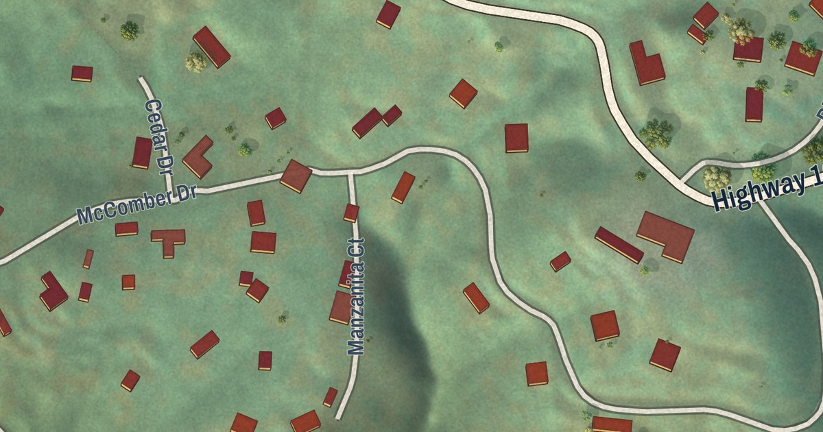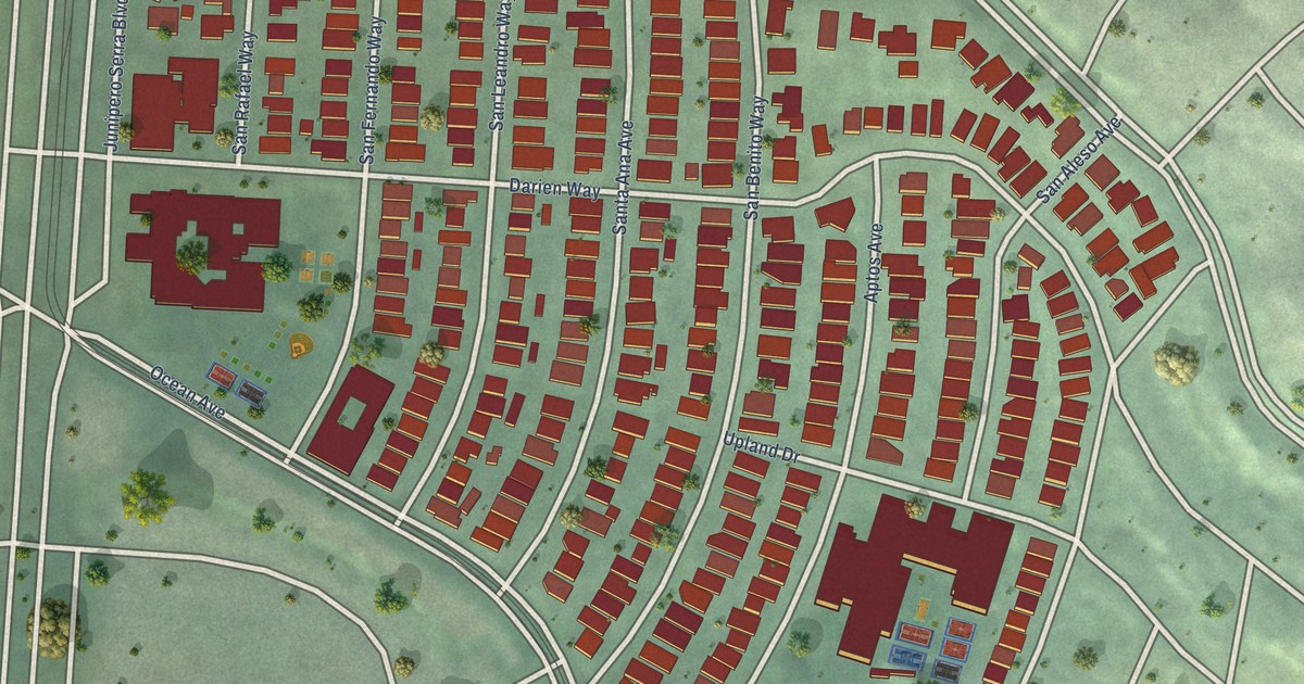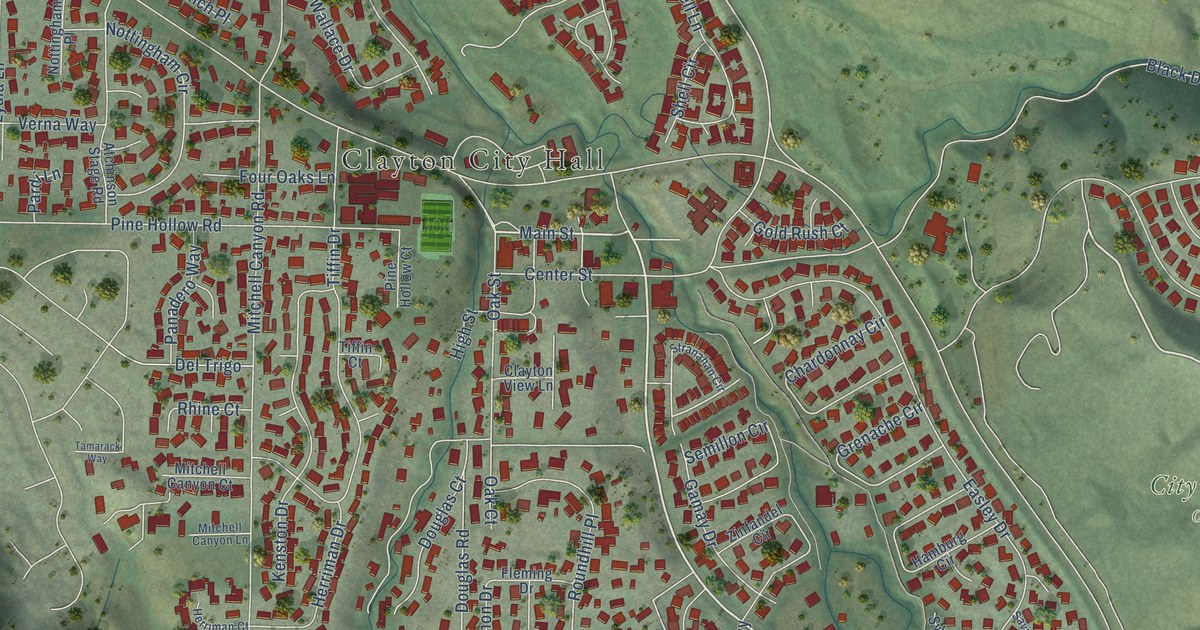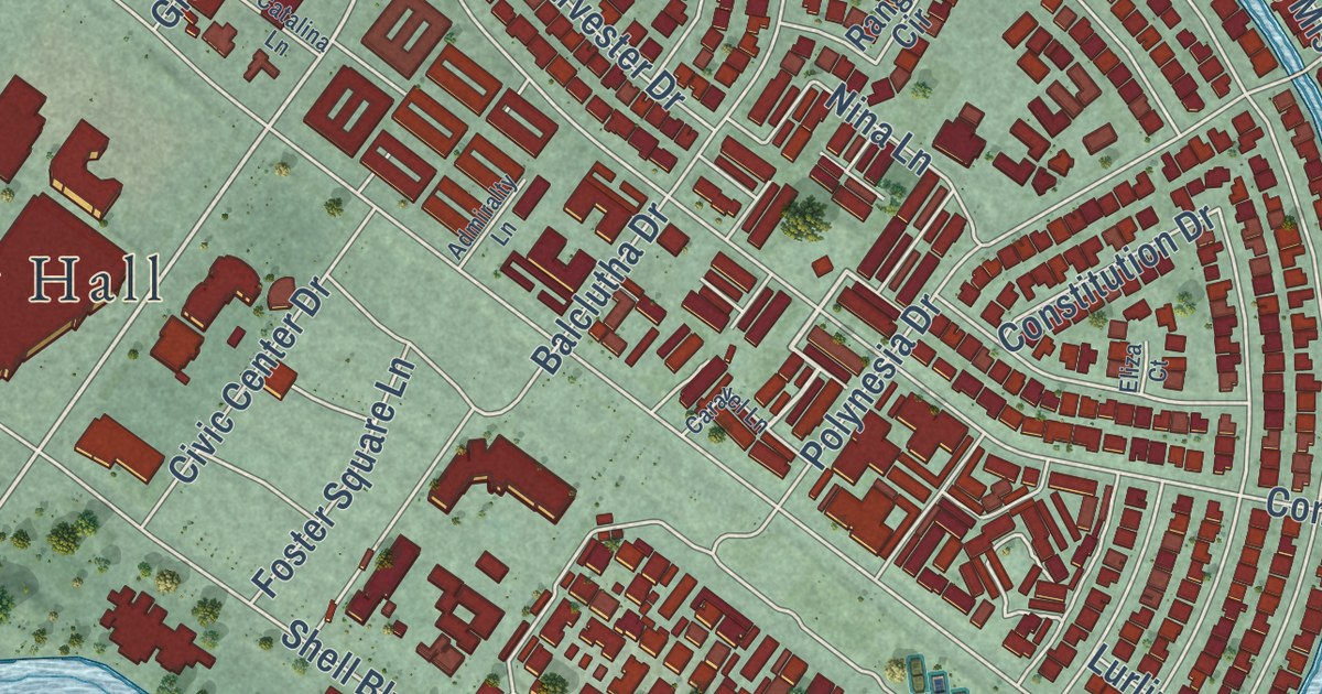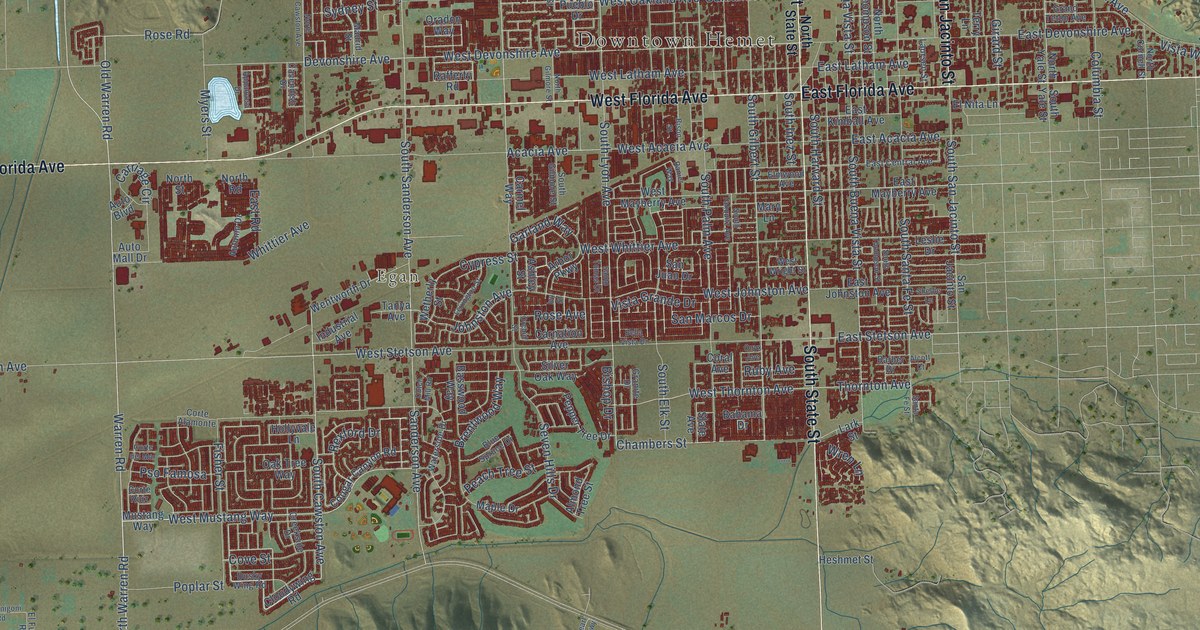
This beautifully detailed map of Hemet, California was created in 2026 using aerial imagery combined with modern topographical, census, street and landmark data. It’s a one-of-a-kind view of Hemet that combines accurate data with a vintage aesthetic. The map shows every building in its true location, many of the roads carry their names, and the shaded topographic relief shows the shape of the land.
Explore an aerial view of Hemet, California
On the map you’ll find Downtown Hemet and Egan, along with County Road R3, West Florida Avenue, Florida Avenue, East Florida Avenue, South State Street, State Street, North San Jacinto Street, Warren Road, South Lyon Avenue, West Mustang Way, and more. If you look closely you can even find your house accurately drawn in its correct location. Zoom in on the preview to look for yours.
Did you know this piece of Hemet, California history?
From the California State Parks: "Pochea was one of a cluster of Indian villages forming the very large settlement of Pahsitnah, which extended along the ridge east and west of Ramona Bowl."
Take a closer look at the Hemet map
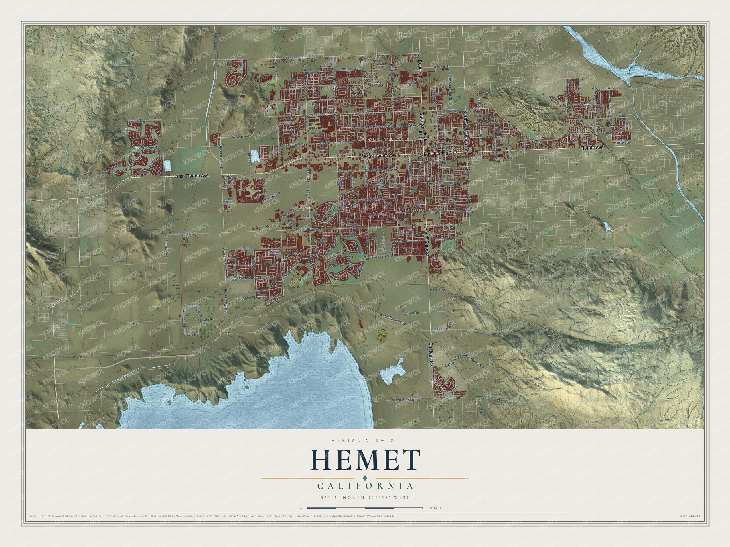
Street and place names on the Hemet, California map
These names are printed on the map of Hemet, California.
Places: Downtown Hemet and Egan.
Streets and roads: County Road R3, West Florida Avenue, Florida Avenue, East Florida Avenue, South State Street, State Street, North San Jacinto Street, Warren Road, South Lyon Avenue, West Mustang Way, South Cawston Avenue, Rose Road.
More street names, A to Z
Acacia Avenue, Alabaster Avenue, Alcott Court, Almarie Way, Almond Tree Street, Alne Drive, Amherst Avenue, Anderson Drive, Appaloosa Drive, Aqueduct Road, Arbol Road, Arbor Parkway, Aria Road, Ashley Street, Auto Boulevard, Auto Mall Drive, Autumn Drive, Bahama Drive, Barber Drive, Basswood Way, Bella Vista Drive, Bellwood Street, Berkley Avenue, Bishop Drive, Bison Street, Blue Spruce Drive, Bogey Avenue, Boston Street, Brentwood Way, Brisbane Street, Caldera Lane, California Avenue, Carmel Way, Carnation Avenue, Carriage Circle, Cavendish Drive, Cawston Avenue, Chambers Street, Charlton Avenue, Cinnabar Avenue, Claremont Street, Cloudywing Road, Colby Street, Colorado Drive, Columbia Street, Commonwealth Avenue, Coral Avenue, Cori Drive, Corte Alamonte, Corte del Mar, Corte Ruiz, Cougar Canyon Road, Cove Street, Creekside Drive, Crows Nest Place, Curry Drive, Cypress Street, Devonshire Avenue, Domenigoni Parkway, Domenigoni Road, Dusky Wing Road, Dutch Mill Road, Duval Lane, East Acacia Avenue, East Central Avenue, East Devonshire Avenue, East Johnston Avenue, East Kimball Avenue, East Latham Avenue, East Lincoln Avenue, East Mayberry Avenue, East Menlo Avenue, East Newport Road, East Oakland Avenue, East Road, East Stetson Avenue, Eaton Avenue, El Fuego Road, Elmwood Avenue, El Nita Lane, El Rancho Circle, English Drive, Fisher Street, Four Seasons Boulevard, Fruitvale Avenue, Garland Way, Garry Lane, Gibbel Road, Girard Street, Gloria Drive, Grand Teton Avenue, Granite Drive, Hackney Street, Haviture Way, Hemet Street, Heshmet Street, Hollyvale Lane, Ibiza Lane, Indian Grass Drive, Industrial Avenue, Isla Street, Ivy Street, Johnston Avenue, Kerilyn Lane, Kirby Street, Kit Avenue, Lake Street, Lansing Street, Lark Street, Las Brisas Way, Laursen Street, Leslie Drive, Levie Road, Lexington Street, Lincoln Avenue, Linder Street, Lotus, Madrid Street, Maple Drive, Mary Lane, McSweeny Parkway, Menlo Avenue, Meridian Street, Mesa View Street, Millie Drive, Mira Loma Avenue, Morse Road, Mountain Avenue, Mustang Way, Myers Street, Newport Road, North Buena Vista Street, North Cawston Avenue, North Cornell Street, North Gilmore Street, North Girard Street, North Hemet Street, North Kirby Street, North Lake Street, North Lyon Avenue, North Palm Avenue, North Road, North Sanderson Avenue, North Santa Fe Street, North Soboba Street, North State Street, North Street, North Thompson Street, North Warren Road, North Yale Street, Oakland Avenue, Oak Tree Way, Oakwood Street, Olazabal Drive, Old Warren Road, Ollie Way, Onyx Avenue, Oradon Way, Orange Grove Avenue, Orchid Street, Palm Avenue, Palos Drive, Paris Street, Park Avenue, Peach Tree Street, Pepper Tree Drive, Pine Avenue, Poplar Street, Pso Famosa, Pueblo Drive, Rafferty Road, Ranier Way, Rexford Drive, Rose Avenue, Ruby Avenue, Sanderson Avenue, San Dimas Street, San Jacinto Street, San Juan Drive, San Marcos Drive, San Pasquell Street, Santa Fe Street, Santo Tomas Drive, Searl Parkway, Seattle Street, Seven Hills Drive, Shellie Lane, Shiraz Drive, Silver Oak Way, Simpson Road, Skyview Drive, Slate Avenue, Soboba Street, Solano Drive, Sonrisa Street, Sorksbill Drive, South Buena Vista Street, South Elk Street, South Gilbert Street, South Gilmore Street, South Harvard Street, South Inez Street, South Kirby Street, South Palm Avenue, South Sanderson Avenue, South San Jacinto Street, South Santa Fe Street, South Tahquitz Avenue, South Thompson Street, South Village Loop, South Warren Road, South Yale Street, Stanford Street, Steiner Drive, Stephenson Lane, Stetson Avenue, Sunjoy Drive, Sunwest Drive, Sydney Street, Taft Avenue, Tanya Avenue, Tell Lane, Terrace Drive, Terry Lane, Tewell Drive, Thornton Avenue, Tori Drive, Tres Cerritos Avenue, Trevor Lane, Via Linda Drive, Vista Grande Drive, Vista Way, Waterside Drive, Wentworth Drive, West Acacia Avenue, West Devonshire Avenue, West Esplanade Avenue, West Johnston Avenue, West Latham Avenue, West Mayberry Avenue, West Menlo Avenue, West Oakland Avenue, West Stetson Avenue, West Thornton Avenue, West Whittier Avenue, West Wright Street, Wetherly Street, Whittier Avenue, World Cup Avenue, Wren Lane, Yale Street, Zolder Street.
See the Hemet, California map on a wall
The Hemet map as an 18 x 24 inch print in a black frame.

This beautifully detailed map of Hemet makes an attractive addition to your office, library, or den, and it can even be used to teach children the geography and history of the area. It also makes a great gift for someone who left Hemet and still calls it home. When you’re done exploring, click here to get your copy of the Hemet map.