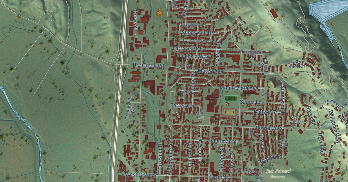
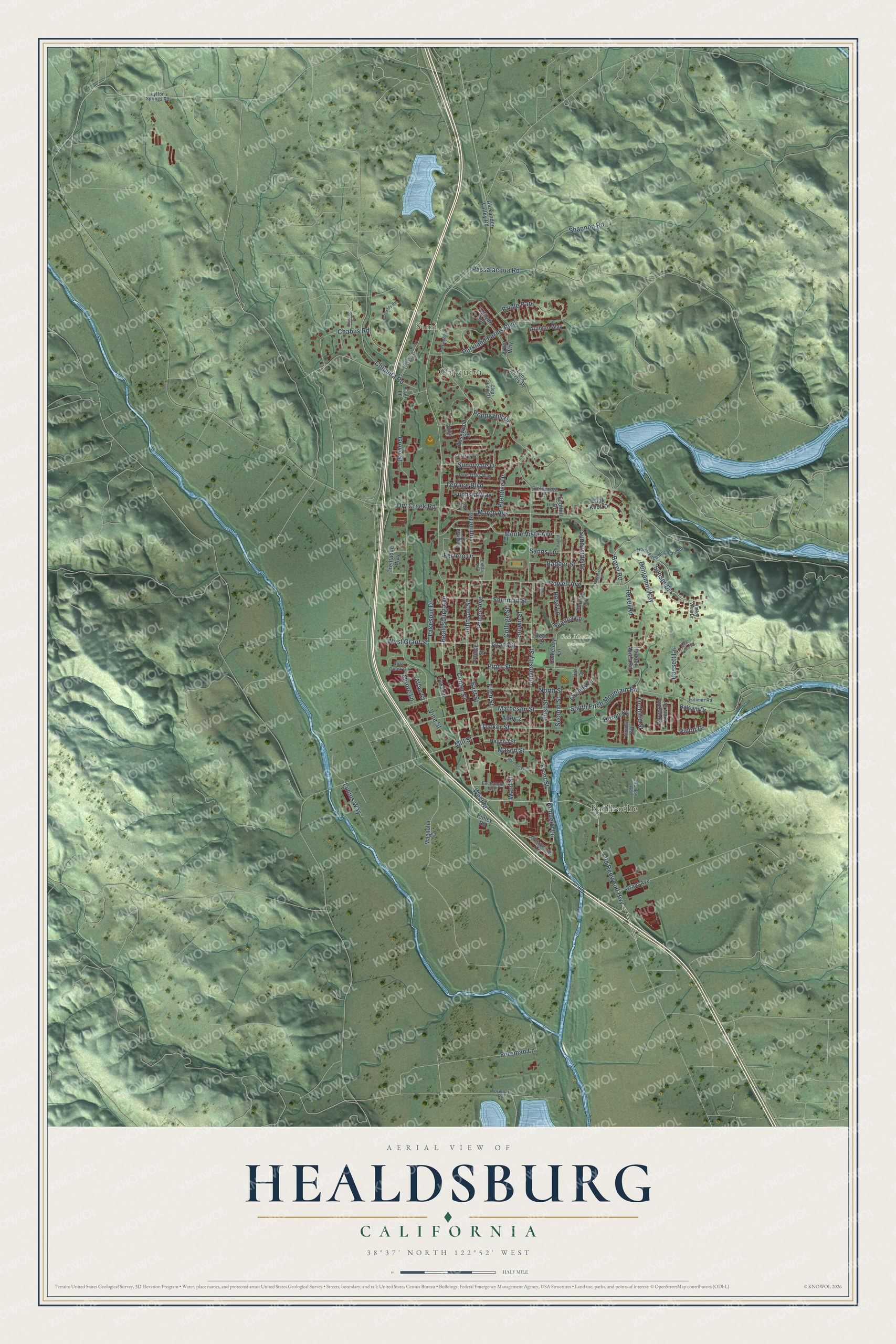
This beautifully detailed map of Healdsburg, California was created in 2026 using aerial imagery combined with modern topographical, census, street and landmark data. It's a modern aerial view of Healdsburg in Sonoma County, California, that combines modern data with a vintage aesthetic. The roads feature printed names, and if you look closely you can find your exact house accurately shown in its correct location.
Explore an aerial view of Healdsburg, California
On this map you'll find Simi, Chiquita, Oak Mound Cemetery, Bailhache, Healdsburg Avenue, Old Redwood Highway, West Street, Front Street, Sunset Drive, Piper Street, Matheson Street, South Fitch Mountain Road, and more. Each red shape is a building, so zoom in on the preview and look for yours.
Here is a piece of Healdsburg history, in the words of the record. The National Register of Historic Places puts it this way: "Moreover, it was the first permanent home of the city's library collection, and
for more than 70 years the building was Healdsburg's only public library."
Healdsburg is a city in Sonoma County. The Census Bureau counted 11,340 people here in 2020.
Take a closer look at the Healdsburg map
Names on this map
These names are printed on this map.
Places: Simi, Chiquita, Oak Mound Cemetery and Bailhache.
Streets and roads: Healdsburg Avenue, Old Redwood Highway, West Street, Front Street, Sunset Drive, Piper Street, Matheson Street, South Fitch Mountain Road, Mill Street, Grove Street, University Street, March Avenue.
More street names, A to Z
Alexander Valley Road, Allan Court, Alley 2, Almond Way, Alta Vista Drive, Arabian Way, Arbor Way, Badger Street, Balsam Drive, Benjamin Way, Bianca Lane, Borel Road, Bridle Path, Brown Street, Bumpy Road, Burgundy Road, Cali Lane, Canyon Run, Cemetery Lane, Center Street, Chablis Road, Chiquita Road, Clear Ridge Drive, College Street, Dry Creek Road, East Street, Exchange Avenue, Ferrero Drive, Fieldcrest Drive, First Street, Fitch Street, Foothill Drive, Foreman Lane, Foreman Road, Foss Creek Circle, Foss Street, Fuchsia Way, Grant Avenue, Grant Street, Greens Drive, Gromo Court, Harmon Street, Harold Lane, Hassett Lane, Haydon Street, Heron Drive, Hidden Acres Road, Johnson Street, Kennedy Lane, Kinley Road, Lakespur Drive, Langhart Drive, Latimer Road, Lily Street, Linda Vw, Long Acres Place, Lucius Way, Lupine Road, Lytton Springs Road, Magnolia Drive, Mason Street, Monte-Puliciano Road, Monte Vista Avenue, Moore Lane, Mountain View Drive, North Fitch Mountain Road, North Street, Oak Knoll Drive, Orchard Street, Parkland Farms Boulevard, Parkwoods Court, Passalacqua Road, Philip Drive, Pinon Drive, Poppy Hill Drive, Pordon Lane, Powell Avenue, Prentice Drive, Presidential Circle, Prince Avenue, Prince Street, Reed Court, Reisling Lane, Revel Road, Ridgeview Drive, Rose Lane, Rosewood Drive, Sanns Lane, Second Street, Shannon Road, Sherman Street, Solar Way, Sunnyside Drive, Sunnyvale Drive, Tee Drive, Terrace Boulevard, Trentadue Way, Tucker Street, Twin Oaks Way, Valley View Drive, Vine Street, Ward Street, West Grant Street.
Created by KNOWOL in 2026. The buildings are small red shapes, the roads carry their printed names, and shaded relief shows the shape of the land. The title panel reads "AERIAL VIEW OF HEALDSBURG CALIFORNIA" with 38°37' NORTH 122°52' WEST.
It suits a den, a classroom or a front hall, and it makes a gift for anyone with Healdsburg roots. Open the preview and find the block you know. See sizes and frames for the Healdsburg map.