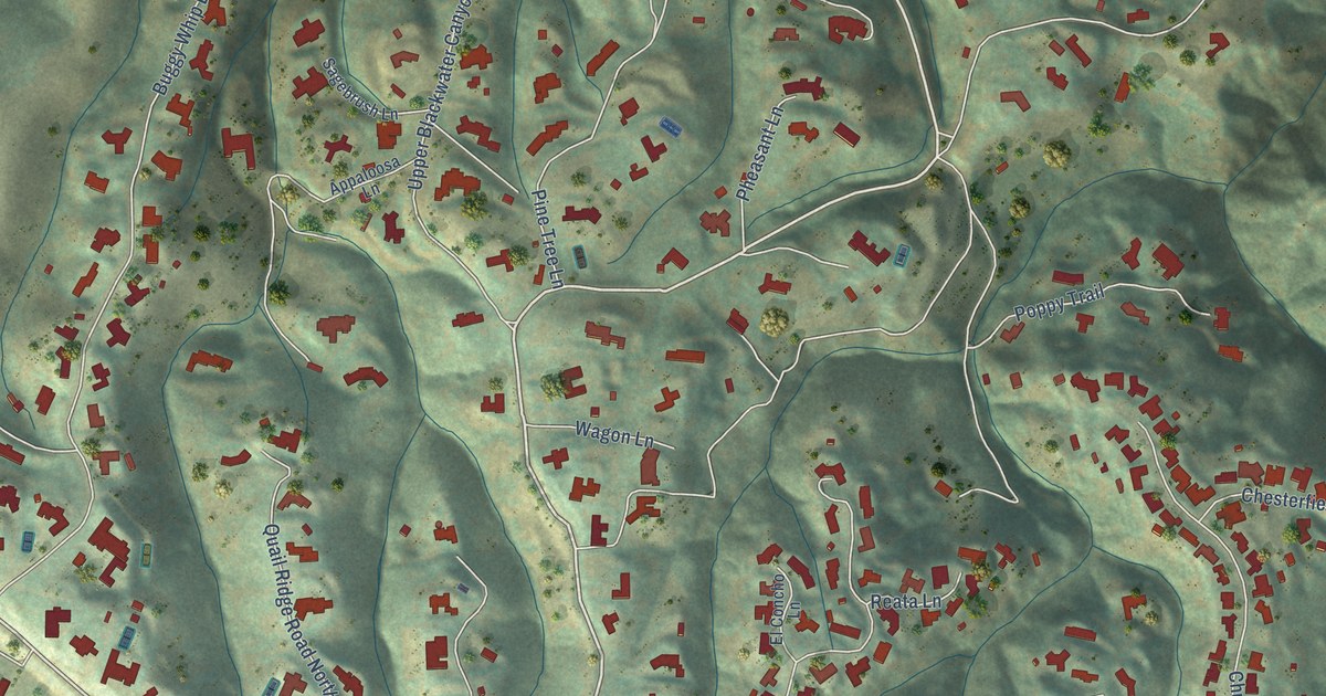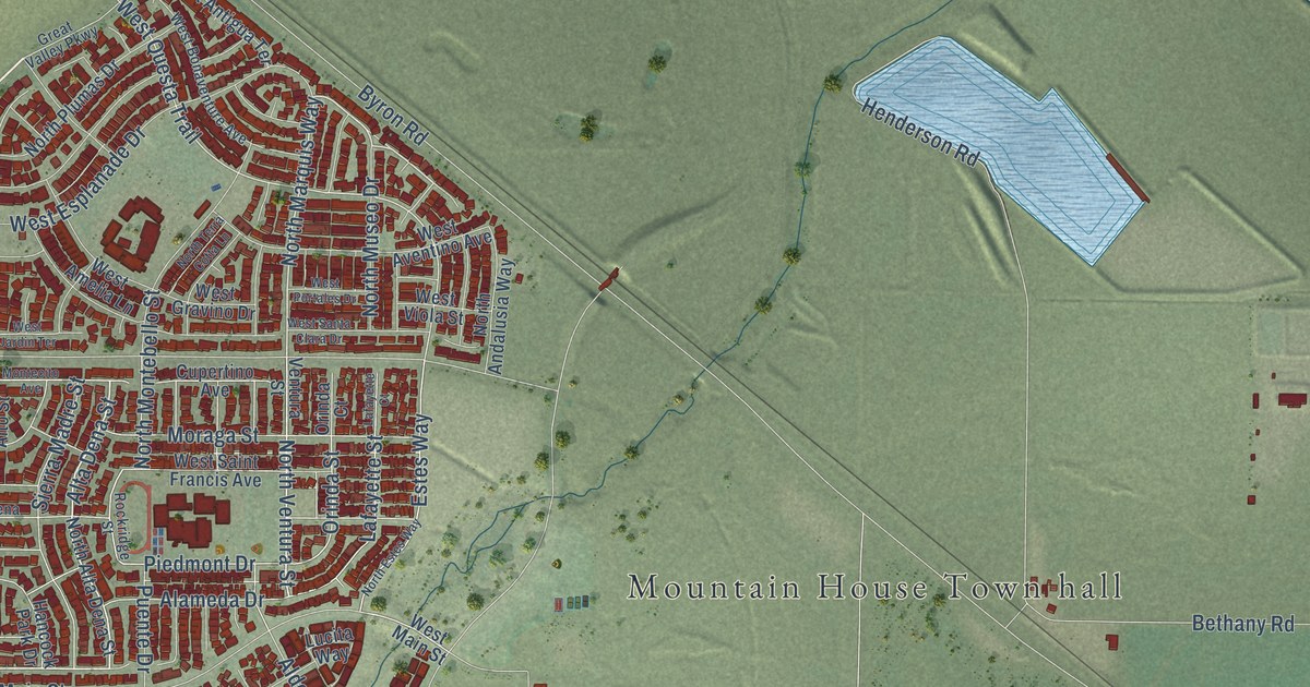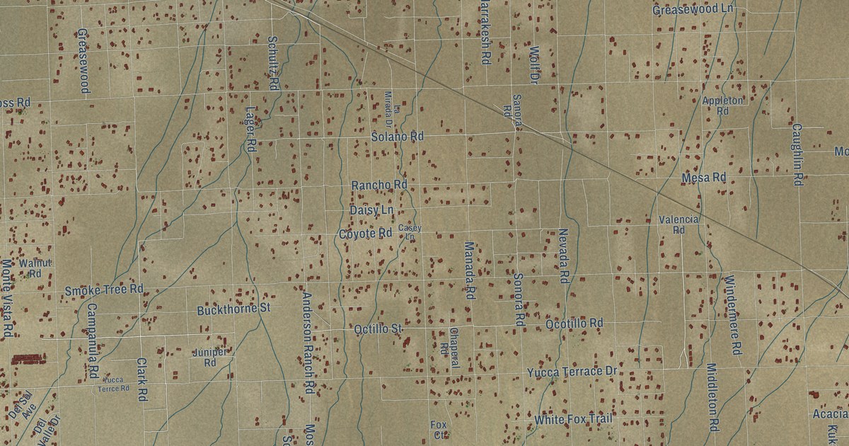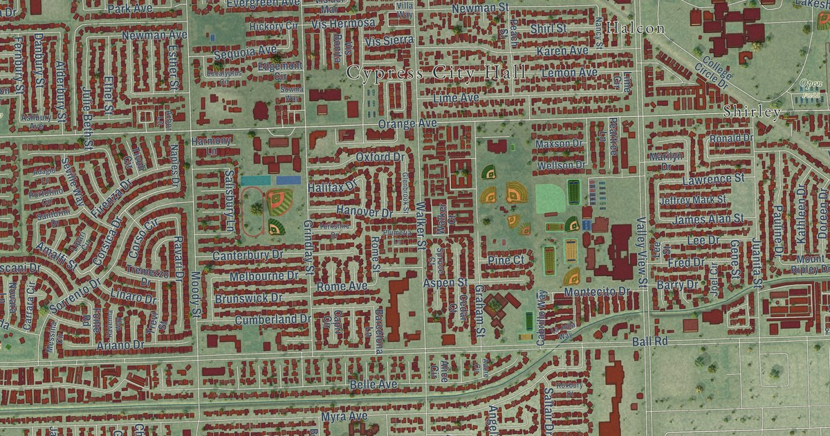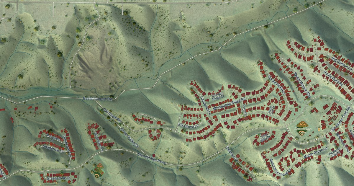
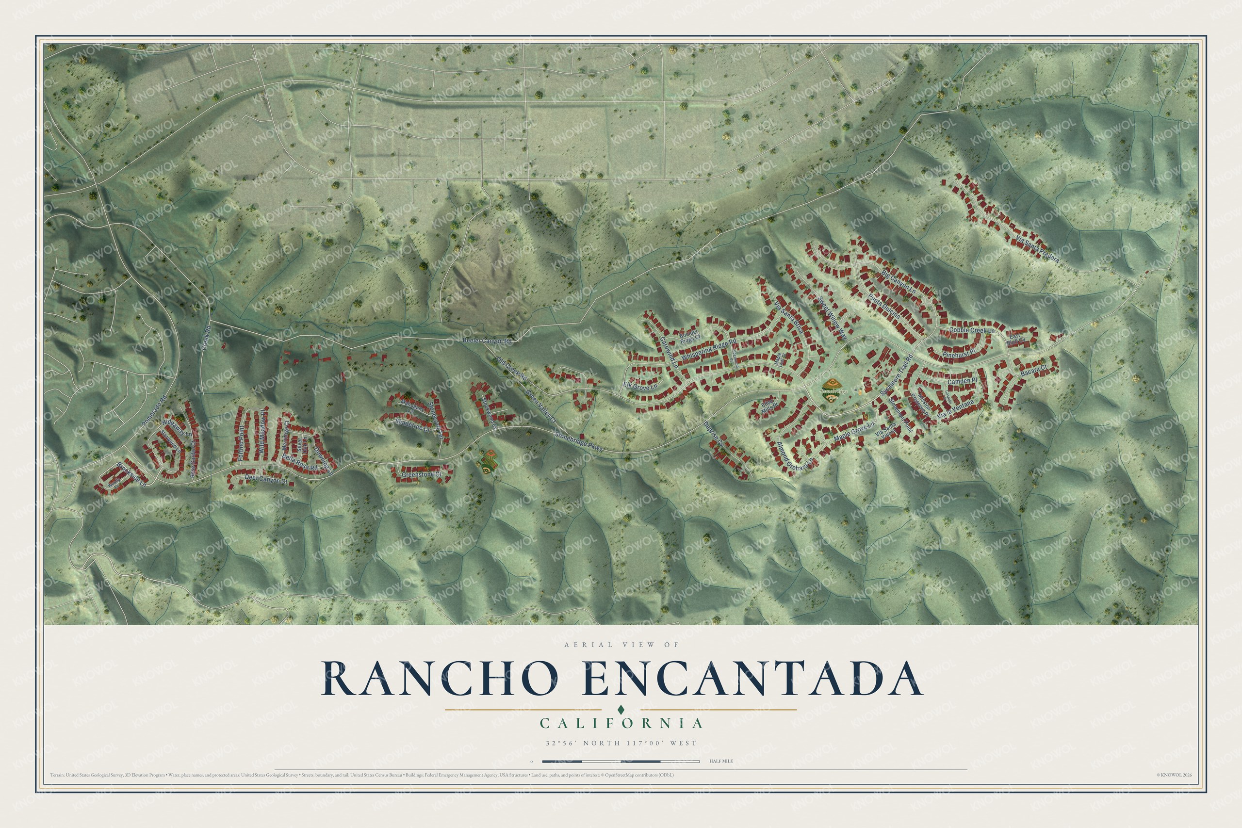
This beautifully detailed map of Rancho Encantada, California was created in 2026 using aerial imagery combined with modern topographical, census, street and landmark data. It's a modern aerial view of Rancho Encantada in San Diego County, California, that combines modern data with a vintage aesthetic. The roads feature printed names, and if you look closely you can find your exact house accurately shown in its correct location.
Explore an aerial view of Rancho Encantada, California
On this map you'll find Stonebridge Park, Brookside Lane, Sycamore Trail Road, Stonebridge Parkway, Beeler Canyon Road, Old Creek Road, Via Santa Pradera, Big Canyon Lane, Whispering Ridge Road, Green Valley Court, Pomerado Road, Punta Dulcina, and more. Each red shape is a building, so zoom in on the preview and look for yours.
Every town has a first chapter, and Rancho Encantada is no exception. The City of San Diego puts it this way: "The community has been designed to protect the majority of the steep hillsides, canyons, and ravines."
Rancho Encantada is a place in San Diego County.
Take a closer look at the Rancho Encantada map
Names on this map
These names are printed on this map.
Places: Stonebridge Park.
Streets and roads: Brookside Lane, Sycamore Trail Road, Stonebridge Parkway, Beeler Canyon Road, Old Creek Road, Via Santa Pradera, Big Canyon Lane, Whispering Ridge Road, Green Valley Court, Pomerado Road, Punta Dulcina, Almond Orchard Lane.
More street names, A to Z
Bacara Court, Bella Rosa Road, Boulder Ridge Court, Camden Place, Carowind Lane, Caspian Place, Cobble Creek Lane, Creek Road, Deer Canyon Court, Deprise Cv, Downing Lane, East Bluff Cv, Eden Mills Place, Edgewood Place, Elk Grove Lane, Fortino Point, Greenstone Court, Hideaway Lane, Mahogany Cv, Maple Grove Lane, Maple Leaf Court, Merritage Court, Mission Preserve Place, Pinehurst Place, Rose Garden Court, Shadetree Court, Silver Oak Lane, Starwood Lane, Stockwood Cv, Stonecroft Terrace, Stonemont Point, Sweet Willow Way, Via la Ventana, Via Santa Brisa, Via Santa Vienta, Westly Lane, Wild Meadow Place.
Created by KNOWOL in 2026. The buildings are small red shapes, the roads carry their printed names, and shaded relief shows the shape of the land. The title panel reads "AERIAL VIEW OF RANCHO ENCANTADA CALIFORNIA" with 32°56' NORTH 117°00' WEST.
Hang it in the hallway, the office or the cabin, or give it to someone who left Rancho Encantada and still calls it home. Open the preview and look for a street you know. See sizes and frames for the Rancho Encantada map.