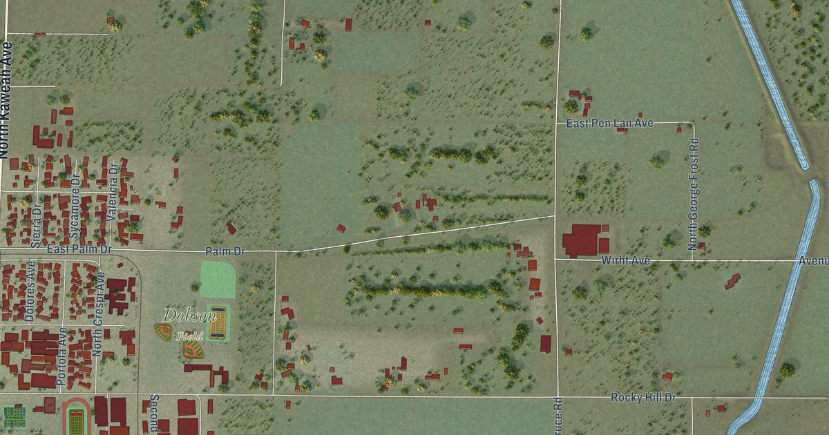
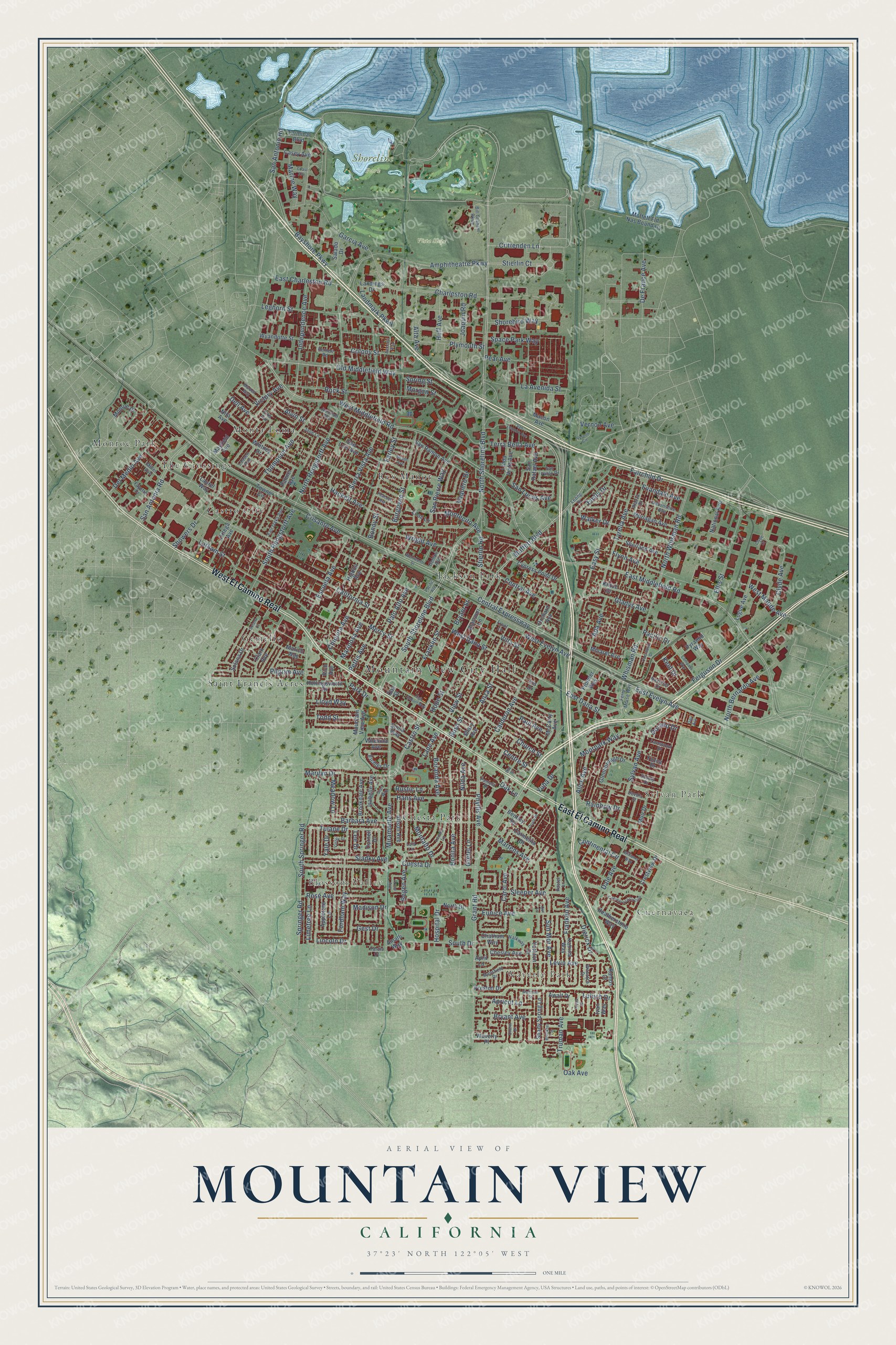
This beautifully detailed map of Mountain View, California was created in 2026 using aerial imagery combined with modern topographical, census, street and landmark data. It’s a one-of-a-kind view of Mountain View that combines accurate data with a vintage aesthetic. The map shows every building in its true location, many of the roads carry their names, and the shaded topographic relief shows the shape of the land.
Explore an aerial view of Mountain View, California
On the map you’ll find Mountain View City Hall, Waverly Park, Cuernavaca, Blossom Valley, Sylvan Park, Shoreline Park, Vista Slope, Castro City, Cuesta Park, Gemello, Jackson Park, Monroe Park, and more. If you look closely you can even find your house accurately drawn in its correct location. Zoom in on the preview to look for yours.
Did you know this about Mountain View, California?
From the National Register of Historic Places: "Henry Rengstorff, whose name has been given to one of the areafs major thorough fares, donated the land for Mountain View's first educational facility, the Whisman School."
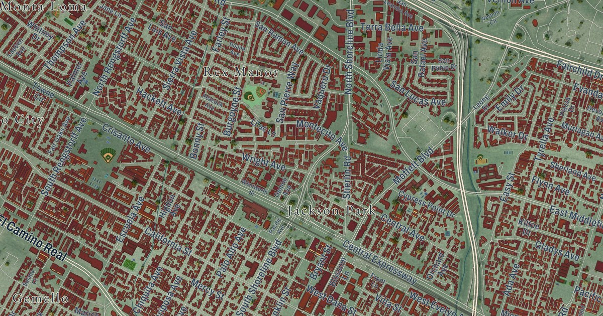
Take a closer look at the Mountain View map
Street and place names on the Mountain View, California map
These names are printed on the map of Mountain View, California.
Places: Mountain View City Hall, Waverly Park, Cuernavaca, Blossom Valley, Sylvan Park, Shoreline Park, Vista Slope, Castro City, Cuesta Park, Gemello, Jackson Park, Monroe Park, Monta Loma, Rex Manor, Saint Francis Acres and The Crossings.
Streets and roads: West El Camino Real, East El Camino Real, North Shoreline Boulevard, West Middlefield Road, East Middlefield Road, Castro Street, Miramonte Avenue, South Shoreline Boulevard, Old Middlefield Way, Marilyn Drive, Moffett Boulevard, San Antonio Road.
More street names, A to Z
Ada Avenue, Alice Avenue, Alison Avenue, Alta Avenue, Alvin Street, Amalfi Way, Amherst Way, Amphitheatre Parkway, Anza Street, Appletree Lane, Apricot Lane, April Lane, Awalt Drive, Barbara Avenue, Bayshore Parkway, Bay Street, Begen Avenue, Bentley Square, Bill Graham Parkway, Blossom Lane, Bonita Avenue, Bonny Street, Boranda Avenue, Brookdale Avenue, Bruckner Circle, Bryant Avenue, Bryant Street, Burgoyne Street, Bush Street, Calderon Avenue, California Street, Carmelita Drive, Carol Avenue, Casey Avenue, Central Avenue, Central Expressway, Centre Street, Charleston Road, Chatham Way, Chesley Avenue, Chetwood Drive, Chiquita Avenue, Church Street, Churin Drive, Clark Avenue, Clyde Avenue, Clyde Court, Coast Avenue, Colony Street, Compass Way, Continental Circle, Cornell Drive, Crane Avenue, Crestview Drive, Crisanto Avenue, Crittenden Lane, Cuernavaca Circulo, Cuesta Drive, Cypress Point Drive, Dale Avenue, Dali Avenue, De France Avenue, Dell Avenue, Del Medio Avenue, Devonshire Avenue, Devoto Street, Diericx Drive, Doane Avenue, Dorado Drive, Doyle Place, East Charleston Road, East Dana Street, East Evelyn Avenue, Easy Street, Eichler Drive, Elka Avenue, Ellis Street, Emily Drive, Escuela Avenue, Eunice Avenue, Evandale Avenue, Fairchild Drive, Fair Oaks Avenue, Farley Street, Fayette Drive, Ferguson Drive, Ferry Morse Way, Flynn Avenue, Fordham Way, Franklin Avenue, Franklin Street, Front Lane, Garcia Avenue, Gemini Avenue, Gest Drive, Gladys Avenue, Glenborough Drive, Grant Road, Gretel Lane, Hackett Avenue, Hans Avenue, Heatherstone Way, Higdon Avenue, High School Way, Hollingsworth Drive, Hope Street, Hospital Drive, Huff Avenue, Independence Avenue, Iris Drive, Isabelle Avenue, Ivan Way, Jane Lane, Joaquin Road, Junction Avenue, Katrina Way, Kent Drive, Kittoe Drive, La Avenida Street, Lacewood Drive, Landings Drive, Landmark Parkway, Lane Avenue, Lassen Avenue, Latham Street, Laurel Way, Lee Drive, Leghorn Street, Leona Lane, Leong Drive, Levin Avenue, Lilac Lane, Limetree Lane, Lincoln Drive, Linda Vista Avenue, Lloyd Way, Logue Avenue, Lola Lane, Lubich Drive, Macon Avenue, Madison Drive, Mansfield Drive, Mardell Way, Marich Way, Marine Way, Mariposa Avenue, Martens Avenue, Mayfield Avenue, McCarty Avenue, Meadow Lane, Mercy Street, Miller Avenue, Minaret Avenue, Moffett Fld Nas Boundary, Monroe Drive, Montalto Drive, Montecito Avenue, Moorpark Way, Morgan Street, Mountain View Avenue, Muir Drive, Murlagan Avenue, National Avenue, Nicholas Drive, Nilda Avenue, Nita Avenue, North Bernardo Avenue, North Drive, North Rengstorff Avenue, North Whisman Road, Oak Avenue, Oak Lane, Oak Street, Orchard Avenue, Ortega Avenue, Our Lane, Pacific Avenue, Pacific Drive, Palmer Avenue, Palo Alto Avenue, Pamela Drive, Park Drive, Pastel Lane, Paul Avenue, Peacock Avenue, Pear Avenue, Pettis Avenue, Phyllis Avenue, Piazza Drive, Pilgrim Avenue, Pioneer Way, Plymouth Street, Preston Drive, Pyramid Way, Rainbow Drive, Ramos Court, Reinert Road, Rich Avenue, Rock Street, Rose Avenue, Rustic Lane, Salado Drive, San Antonia Road, San Leandro Avenue, San Lucas Avenue, San Luis Avenue, San Pablo Drive, San Pierre Way, San Rafael Avenue, San Ramon Avenue, Sevely Drive, Shady Spring Lane, Shary Avenue, Sherland Avenue, Shorebird Way, Showers Drive, Sierra Vista Avenue, Sladky Avenue, Sleeper Avenue, Solana Court, Solana Drive, Sonia Way, South Drive, South Rengstorff Avenue, South Springer Road, Space Park Way, Springer Road, Spring Street, Starr Way, Stierlin Court, Stierlin Road, Sun Mor Avenue, Sylvan Avenue, Terminal Boulevard, Terra Bella Avenue, Thompson Avenue, Todd Street, Towne Circle, Truman Avenue, Tryna Drive, Tulane Drive, Tyrella Avenue, Valencia Avenue, Vaquero Drive, Varsity Court, Vernon Avenue, Vernon Circle, Victory Avenue, View Street, Villa Street, Walker Drive, Walkway, Waltham Street, Wasatch Drive, Waverly Place, Wentworth Street, West Dana Street, West Evelyn Avenue, West Maude Avenue, Whisman Road, Whitney Drive, Williams Way, Wright Avenue, Wyandotte Street, Yale Drive, Yardis Court, Yorkton Drive, Yuba Drive, Yucca Drive.
See the Mountain View, California map on a wall
The Mountain View map as an 18 x 24 inch print in a black frame.

This beautifully detailed map of Mountain View makes an attractive addition to your office, library, or den, and it can even be used to teach children the geography and history of the area. It also makes a great gift for anyone who grew up in Mountain View or moved away. When you’re done exploring, click here to get your copy of the Mountain View map.