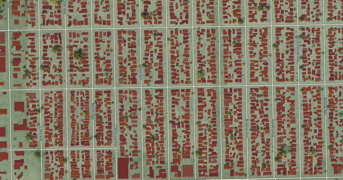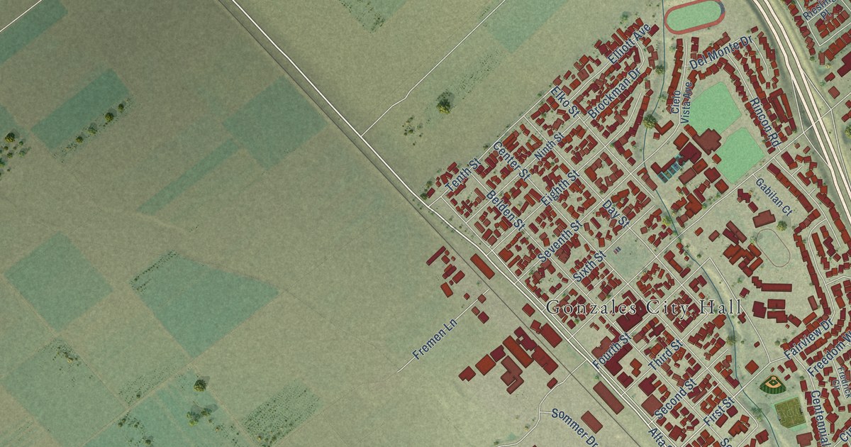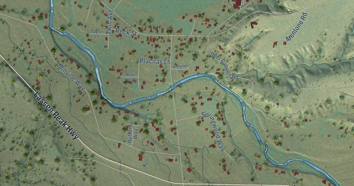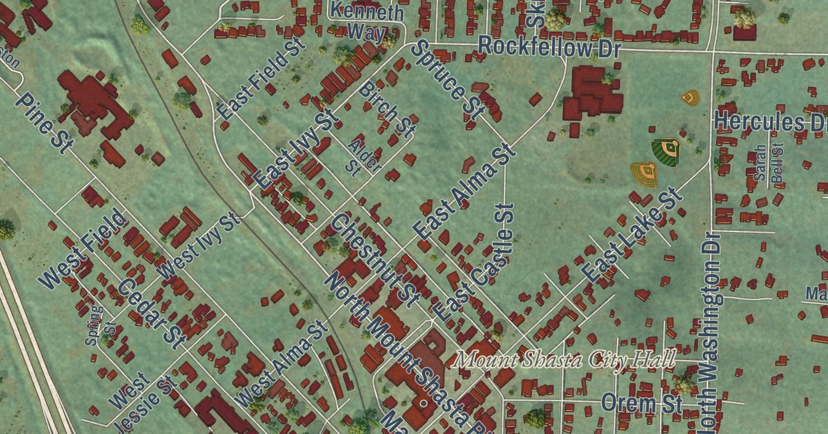
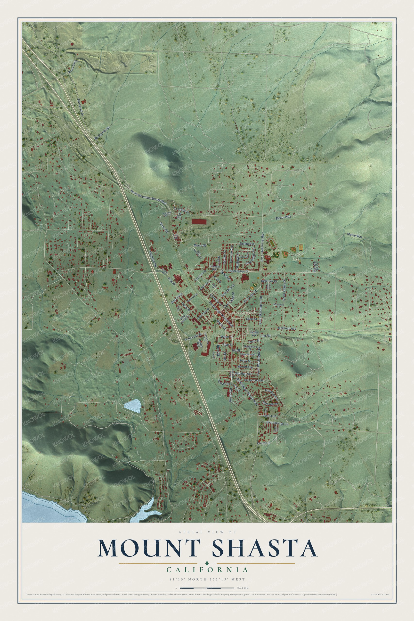
This beautifully detailed map of Mount Shasta, California was created in 2026 using aerial imagery combined with modern topographical, census, street and landmark data. It’s a one-of-a-kind view of Mount Shasta that combines accurate data with a vintage aesthetic. The map shows every building in its true location, many of the roads carry their names, and the shaded topographic relief shows the shape of the land.
Explore an aerial view of Mount Shasta, California
On the map you’ll find Mount Shasta City Hall, Shastice Park, and Pioneer, along with South Washington Drive, Morse Street, South Mount Shasta Boulevard, North Washington Drive, Rockfellow Drive, East Ivy Street, North Mountain Shasta Boulevard, North Mount Shasta Boulevard, Mill Street, and more. If you look closely you can even find your house accurately drawn in its correct location. Zoom in on the preview to look for yours.
Did you know this piece of Mount Shasta, California history?
From the California Historical Landmarks: "When the business center was moved to its present location on the railroad in 1886, its name was changed from Strawberry Valley to Sisson, and in 1923 the town was renamed Mount Shasta City."
Take a closer look at the Mount Shasta map
Street and place names on the Mount Shasta, California map
These names are printed on the map of Mount Shasta, California.
Places: Mount Shasta City Hall and Shastice Park.
Streets and roads: Morse Street, South Washington Drive, Mill Street, Maple Street, North Mount Shasta Boulevard, South Mount Shasta Boulevard, Rockfellow Drive, North Washington Drive, North Mountain Shasta Boulevard, East Ivy Street, West Lake Street, Spring Hill Drive.
More street names, A to Z
Ackley Avenue, Alder Street, Bear Springs Road, Berry Street, Birch Street, Brush Street, Carmen Drive, Caroline Avenue, Cedar Street, Chestnut Street, Church Street, Commercial Avenue, East Alma Street, East Castle Street, East Field Street, East Hinckley Street, East Lake Street, Eiler Road, Eugene Avenue, Everitt Memorial Highway, Fee Road, Gaudenzio Street, Glen Mar Drive, Hercules Drive, High Street, Ida Street, Kennedy Drive, Kenneth Way, Kingston Road, Kingston Way, Klynn Court, Loveta Lane, Manzanita Lane, Marjorie Street, McCloud Avenue, Meadow Avenue, Merritt Avenue, Morgan Way, Mountain Oak Drive, Mount Quarry, Nixon Road, North Adams Drive, Oak Street, Old McCloud Road, Orem Street, Perry Street, Pine Ridge Avenue, Pine Street, Ream Avenue, Sarah Bell Street, Shasta Avenue, Sheldon Avenue, Siskiyou Avenue, Ski Bowl Drive, Ski Village Drive, Smith Street, South Ream Avenue, Spring Hill Road, Spring Street, Spruce Street, Stellar Way, Steller Way, Village Way, Water Street, Wertz Road, West Alma Street, West Field, West Ivy Street, West Jessie Street.
See the Mount Shasta, California map on a wall
The Mount Shasta map as an 18 x 24 inch print in a black frame.

This beautifully detailed map of Mount Shasta makes an attractive addition to your office, library, or den, and it can even be used to teach children the geography and history of the area. It also makes a great gift for anyone who grew up in Mount Shasta or moved away. When you’re done exploring, click here to get your copy of the Mount Shasta map.