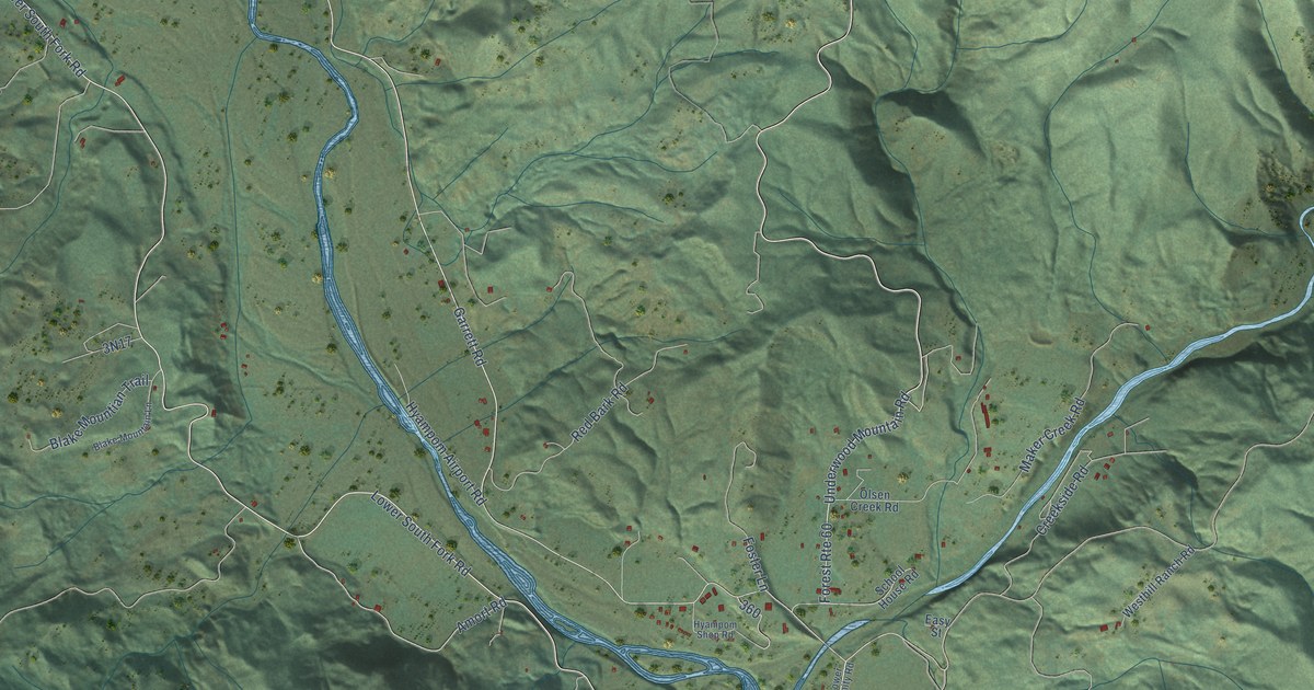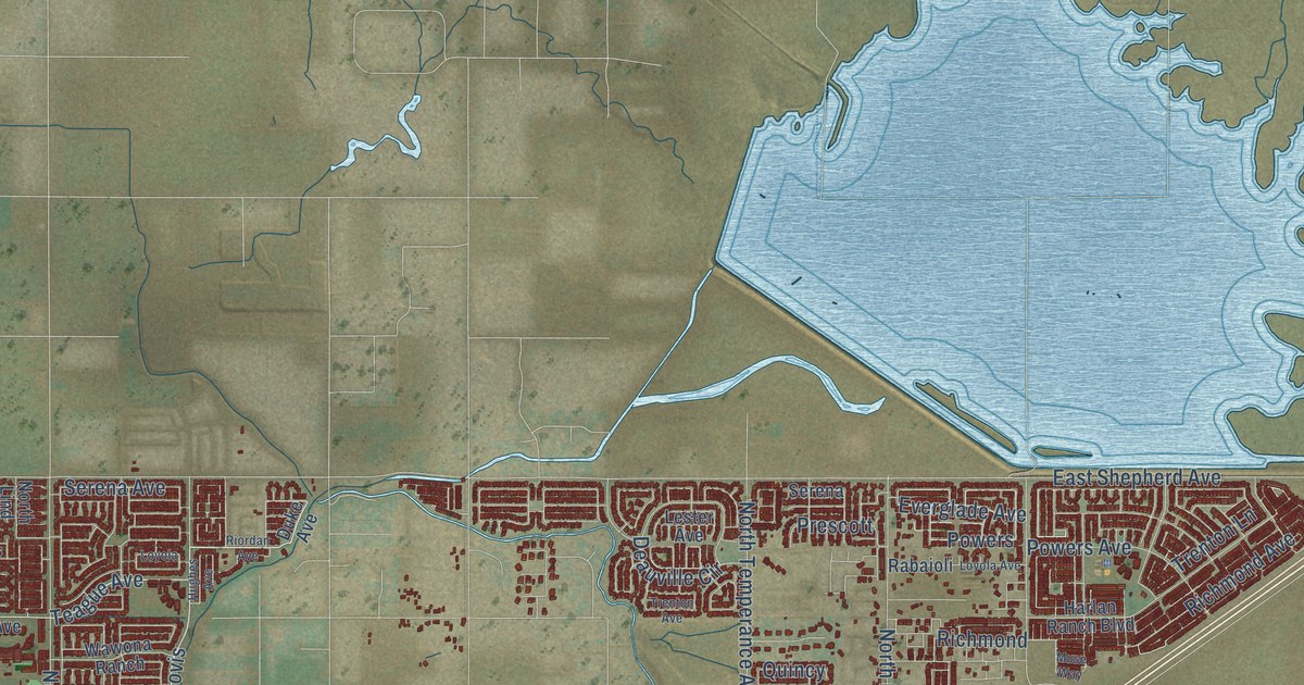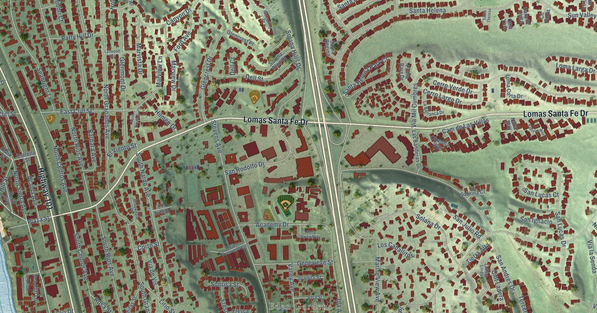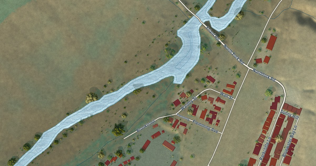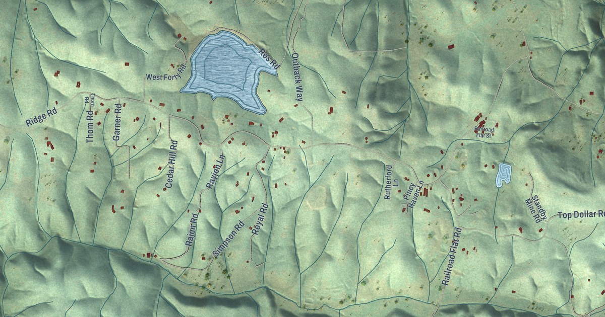
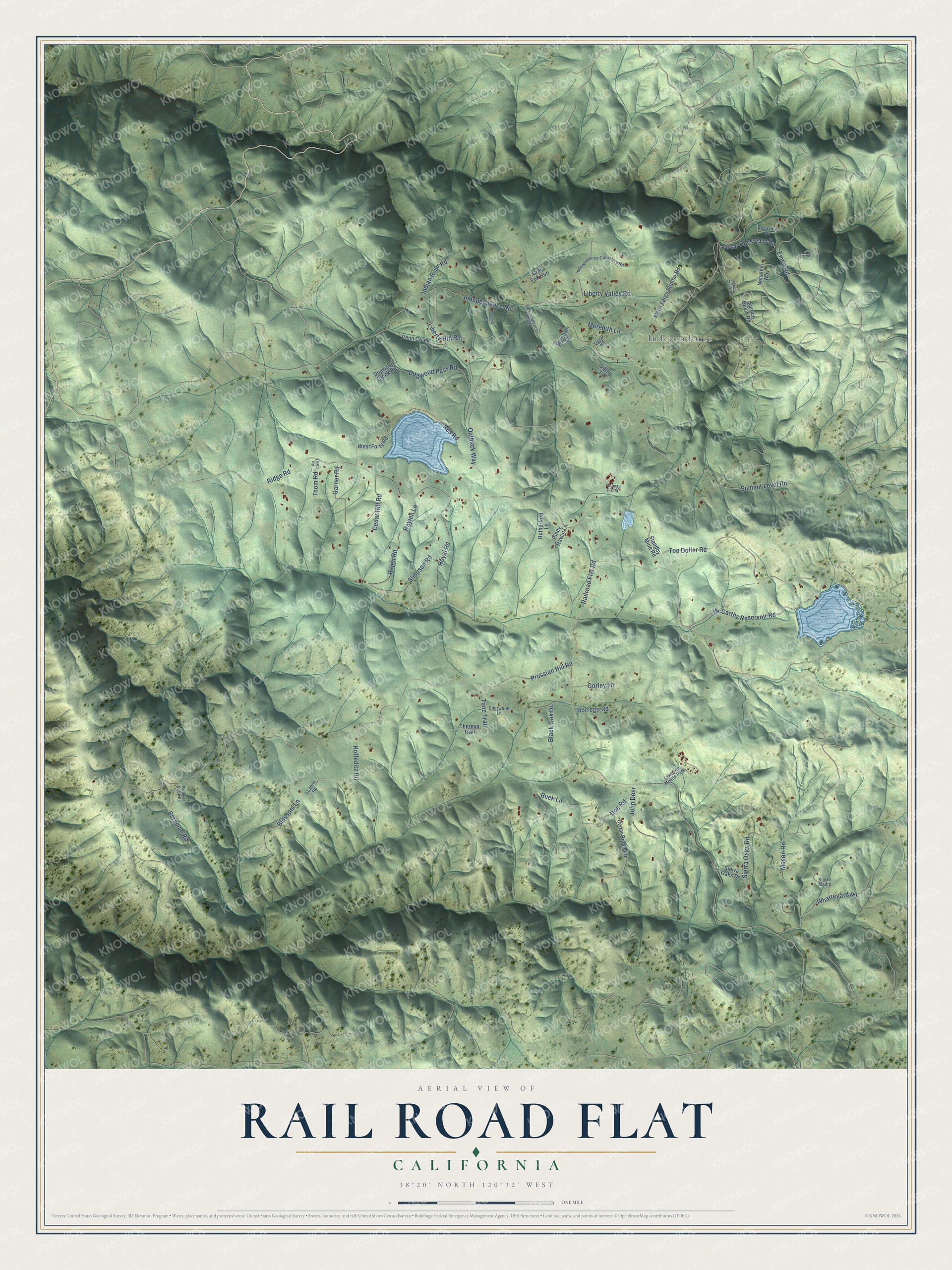
This beautifully detailed map of Rail Road Flat, California was created in 2026 using aerial imagery combined with modern topographical, census, street and landmark data. It's a modern aerial view of Rail Road Flat in Calaveras County, California, that combines modern data with a vintage aesthetic. The roads feature printed names, and if you look closely you can find your exact house accurately shown in its correct location.
Explore an aerial view of Rail Road Flat, California
On this map you'll find Independence, Doe Road, Blossom Lane, McCarthy Reservoir Road, Top Dollar Road, Railroad Flat Road, Prussian Hill Road, Independence Road, Ridge Road, Mason Road, Dogwood Pass Road, Summit Level Road, and more. Each red shape is a building, so zoom in on the preview and look for yours.
Rail Road Flat has a story worth telling. The Calaveras Heritage Council puts it this way: "Rail Road Flat is a Gold Rush era mining town that was settled by gold seekers in 1849, named for a wooden track which conveyed ore cars with waste rock to and from the diggings." The first stamp mill went up in 1866, and by 1872 five or six mills were running. The Clark Ditch, built in 1856 for the placer mines of Rail Road Flat, carried water more than 55 miles from the South Fork of the Mokelumne.
Rail Road Flat is a community in Calaveras County. The Census Bureau counted 316 people here in 2020.
Take a closer look at the Rail Road Flat map
Names on this map
These names are printed on this map.
Places: Independence and Lakeside Mobile Park.
Streets and roads: Doe Road, Blossom Lane, McCarthy Reservoir Road, Top Dollar Road, Railroad Flat Road, Prussian Hill Road, Independence Road, Ridge Road, Mason Road, Dogwood Pass Road, Summit Level Road, Outback Way.
More street names, A to Z
Black Oak Drive, Borrego Road, Buck Lane, Burnham Road, Cathy Lane, Cedar Hill Road, Cedar Ridge Road, Cedar Rock View Road, David Road, Dogbite Road, Dogwood Creek Road, Emco Road, Garner Road, Gorley Lane, Grey Fox Run, Hoffeditz Road, Independence Cemetery Road, Independence Gulch, Indian River Road, John Deer, Liberty Hill Road, Liberty Valley Road, Meredith Lane, Nehalem Way, Paramae Gulch Road, Paramae Road, Penn Creek, Piney Haven Lane, Railroad Flat Street, Rajen Road, Rayjen Lane, Res Road, Riverview Drive, Royal Road, Rutherford Lane, Sherwood Lane, Sierra Madre, Sierra Oaks Drive, Sierra Oaks Road, Simpson Road, Spruce Creek Road, Spruce Gulch Road, Standby Mine Road, Theresa Trail, Thom Road, Thorn Road, Tone Trail, Wagner Road, Wells Fargo Station Road, West Forty Road, Wharregard Road.
See it on a wall
The Rail Road Flat map as a framed print. Swipe for more.


Created by KNOWOL in 2026. The buildings are small red shapes, the roads carry their printed names, and shaded relief shows the shape of the land. The title panel reads "AERIAL VIEW OF RAIL ROAD FLAT, CALIFORNIA" with 38°20' NORTH 120°32' WEST.
It looks right in a kitchen, an office or a den, and it's a gift for anyone who grew up in Rail Road Flat or moved away. Open the preview and find your street. See sizes and frames for the Rail Road Flat map.