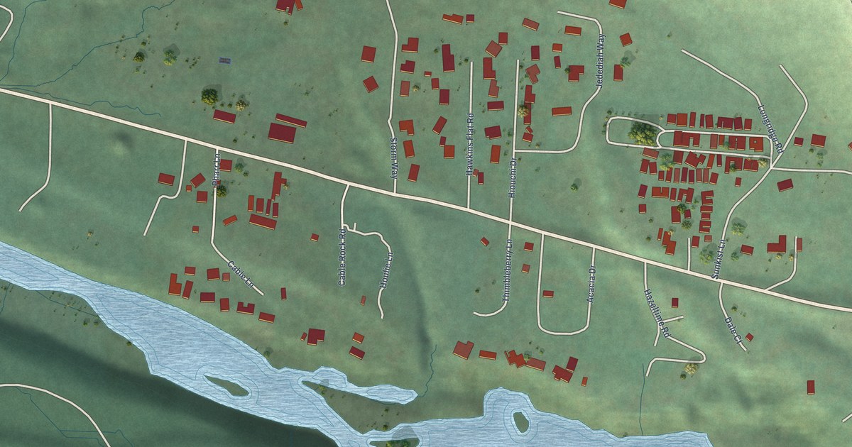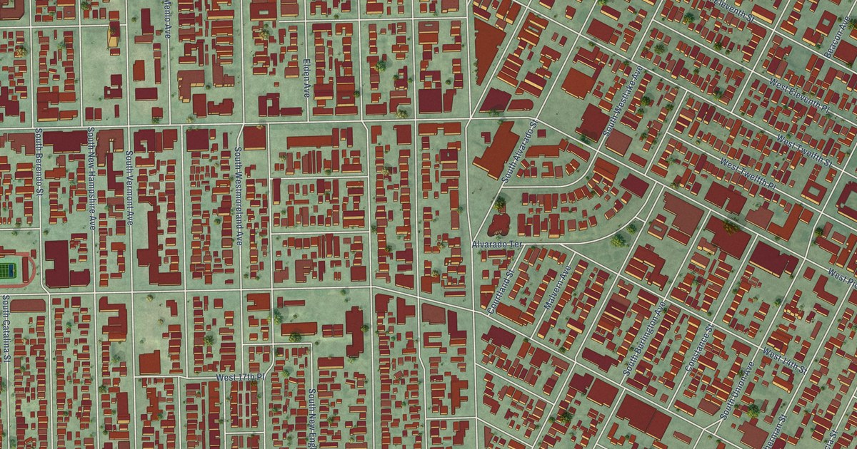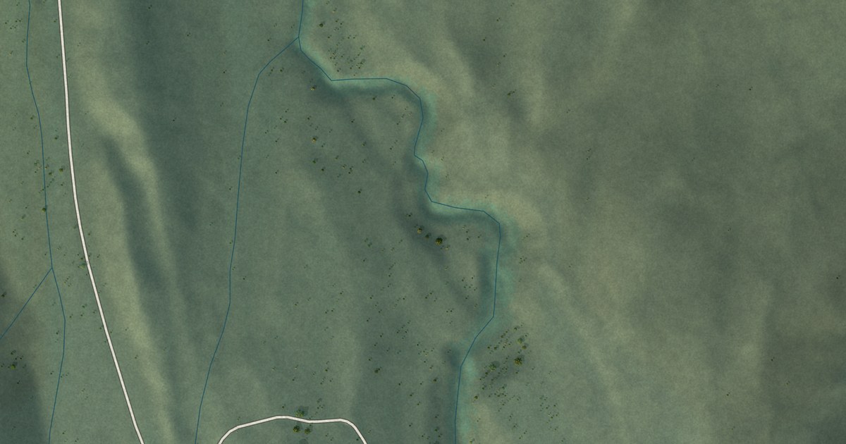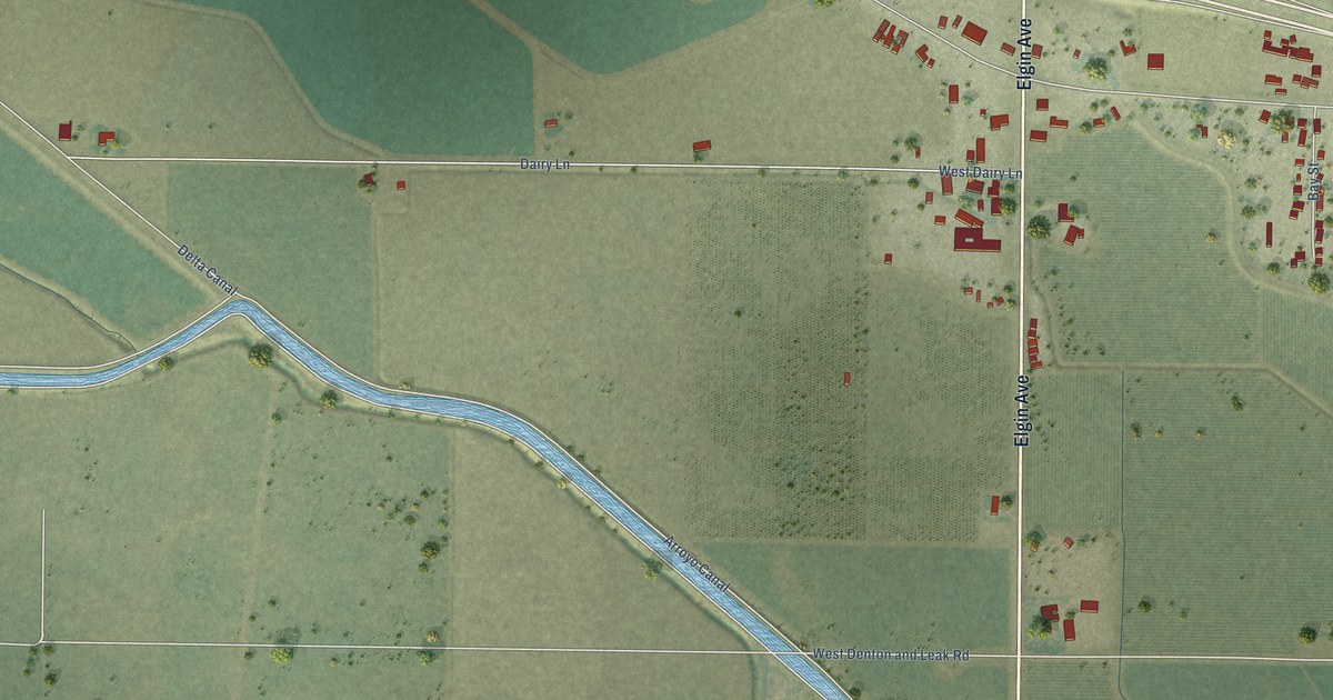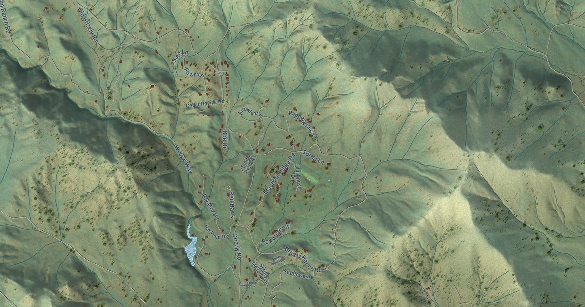
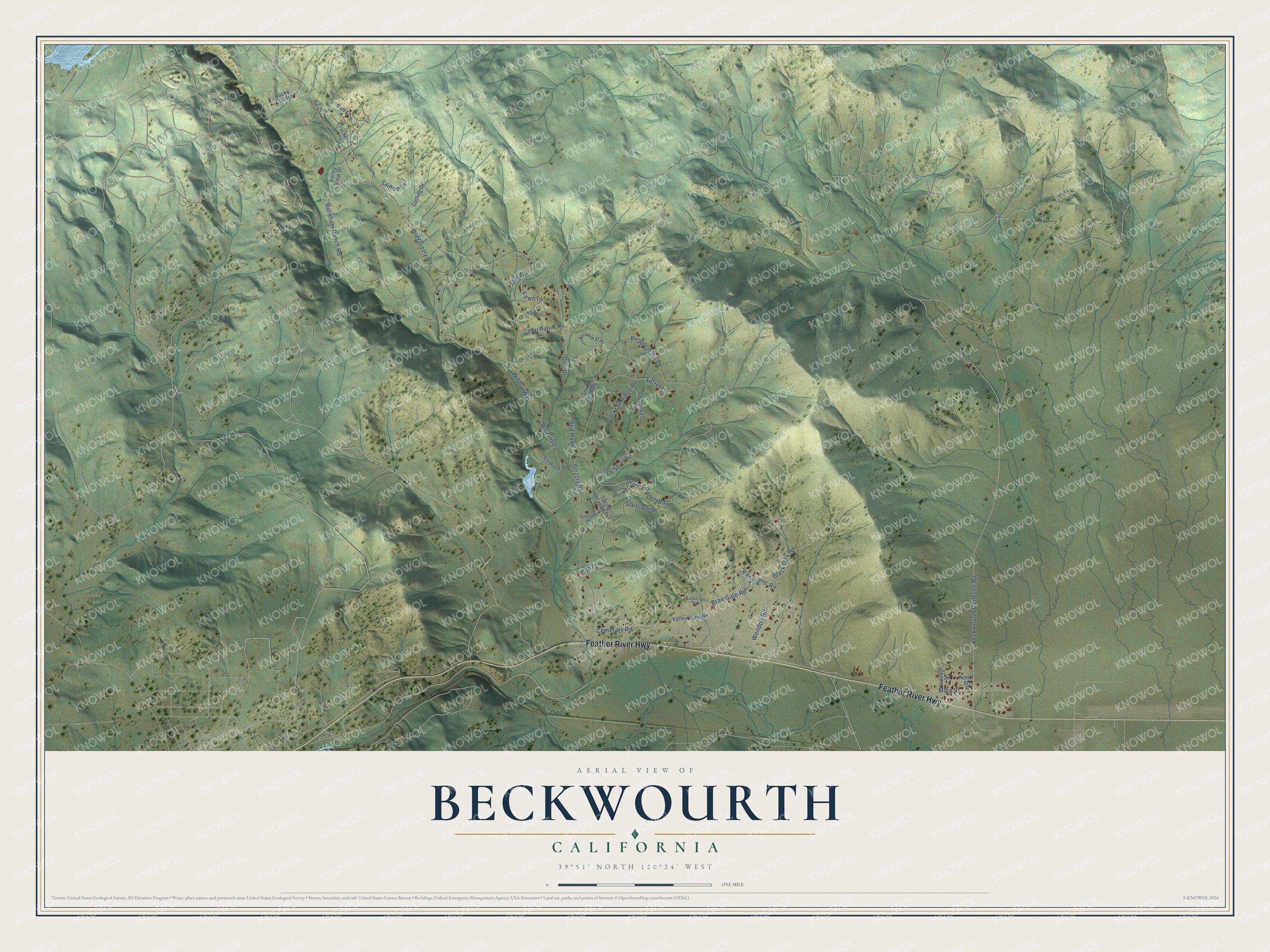
This beautifully detailed map of Beckwourth, California was created in 2026 using aerial imagery combined with modern topographical, census, street and landmark data. It's a modern aerial view of Beckwourth in Plumas County, California, that combines modern data with a vintage aesthetic. The roads feature printed names, and if you look closely you can find your exact house accurately shown in its correct location.
Explore an aerial view of Beckwourth, California
On this map you'll find Feather River Highway, Beckwourth Genesee Road, Grizzly Ranch Road, Grizzly Road, Burnham Ranch Road, Willow Way, Blacktail Ridge Road, Old Grizzly Road, Black Oak Road, Brae Gate Road, Panoramic Road, Main Street, and more. Each red shape is a building, so zoom in on the preview and look for yours.
Beckwourth has a story worth telling. Beckwourth bears the name of James Beckwourth, a Black explorer, fur trader and scout. In 1851 his company finished a wagon road over his Sierra Nevada pass, at his own expense. By 1852 he had settled in the valley beneath the pass as an innkeeper and trading post keeper, at the first ranch emigrants reached in California. His memoirs, dictated to T. D. Bonner, who lived in his cabin, came out in 1856 as The Life and Adventures of James P. Beckwourth. That's from the California Office of Historic Preservation.
Beckwourth is a community in Plumas County. The Census Bureau counted 478 people here in 2020.
Take a closer look at the Beckwourth map
Names on this map
These names are printed on this map.
Streets and roads: Feather River Highway, Beckwourth Genesee Road, Grizzly Ranch Road, Grizzly Road, Burnham Ranch Road, Willow Way, Blacktail Ridge Road, Old Grizzly Road, Black Oak Road, Brae Gate Road, Panoramic Road, Main Street.
More street names, A to Z
Arrowleaf Place, Big Grizzly, Cedar Ravine Road, Cemetary Road, Clifton Lane, Clubhouse Drive, Crocker Court, Cub Lane, Cull Court, Cutting Drive, Doe Drive, Evolution Road, Fawn Lane, Fox Sparrow, Greeley Street, Ice Pond Road, North Street, Peppergrass Lane, Pine Court, Red Hawk, Rocky Cliff Road, Smith Peak Road, Sometime Road, Sorrel Lane, South Ridge Road, Spring Meadow Drive, Stag Lane, Starflower Drive, Valley View Drive, Valley View Road, Wendrill Road.
See it on a wall
The Beckwourth map as a framed print. Swipe for more.


Created by KNOWOL in 2026. The buildings are small red shapes, the roads carry their printed names, and shaded relief shows the shape of the land. The title panel reads "AERIAL VIEW OF BECKWOURTH, CALIFORNIA" with 39°51' NORTH 120°24' WEST.
It looks right in a kitchen, an office or a den, and it's a gift for anyone who grew up in Beckwourth or moved away. Open the preview and find your street. See sizes and frames for the Beckwourth map.