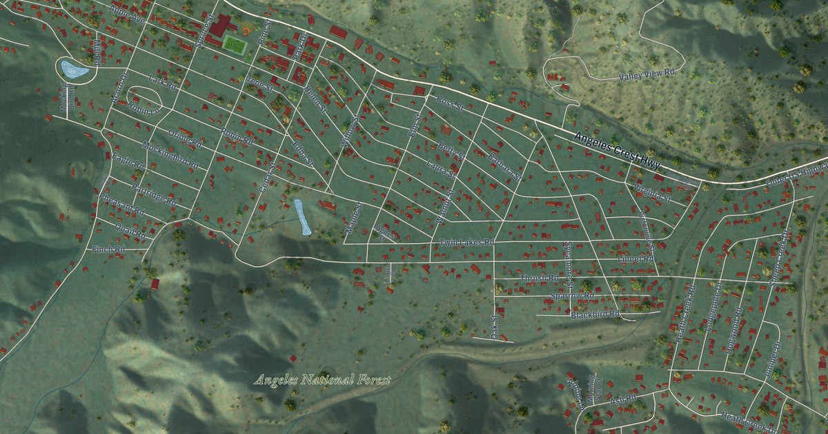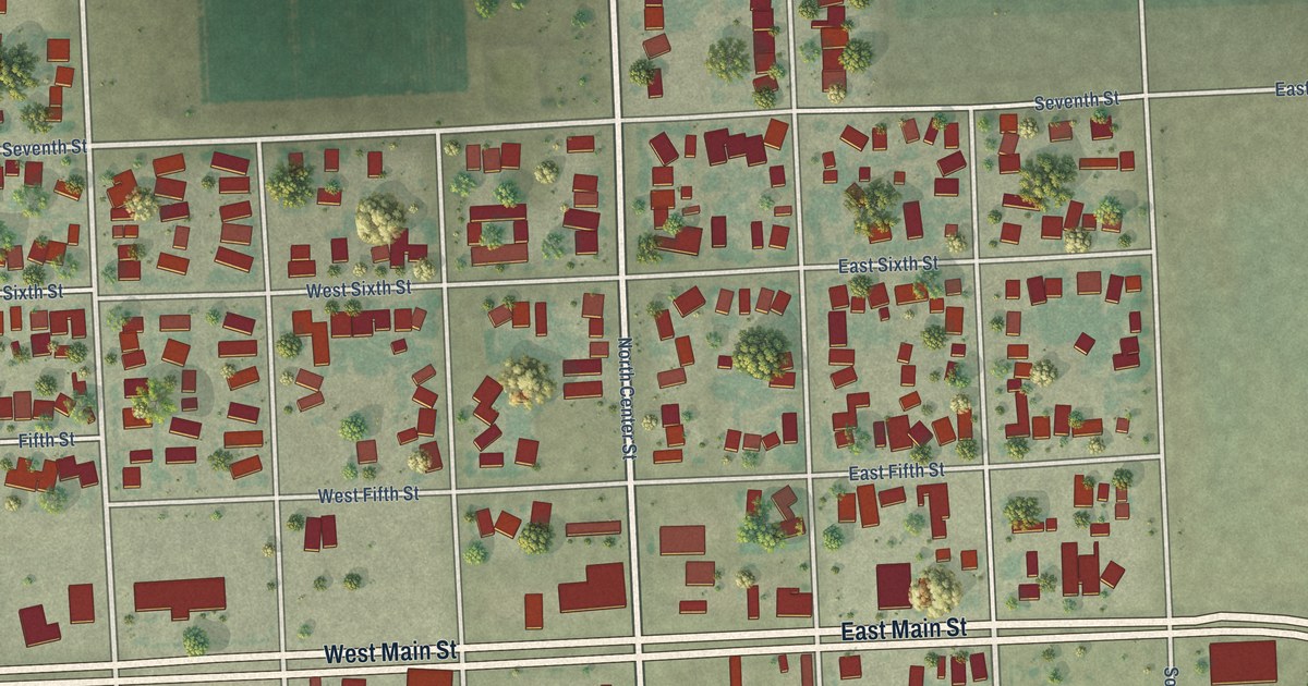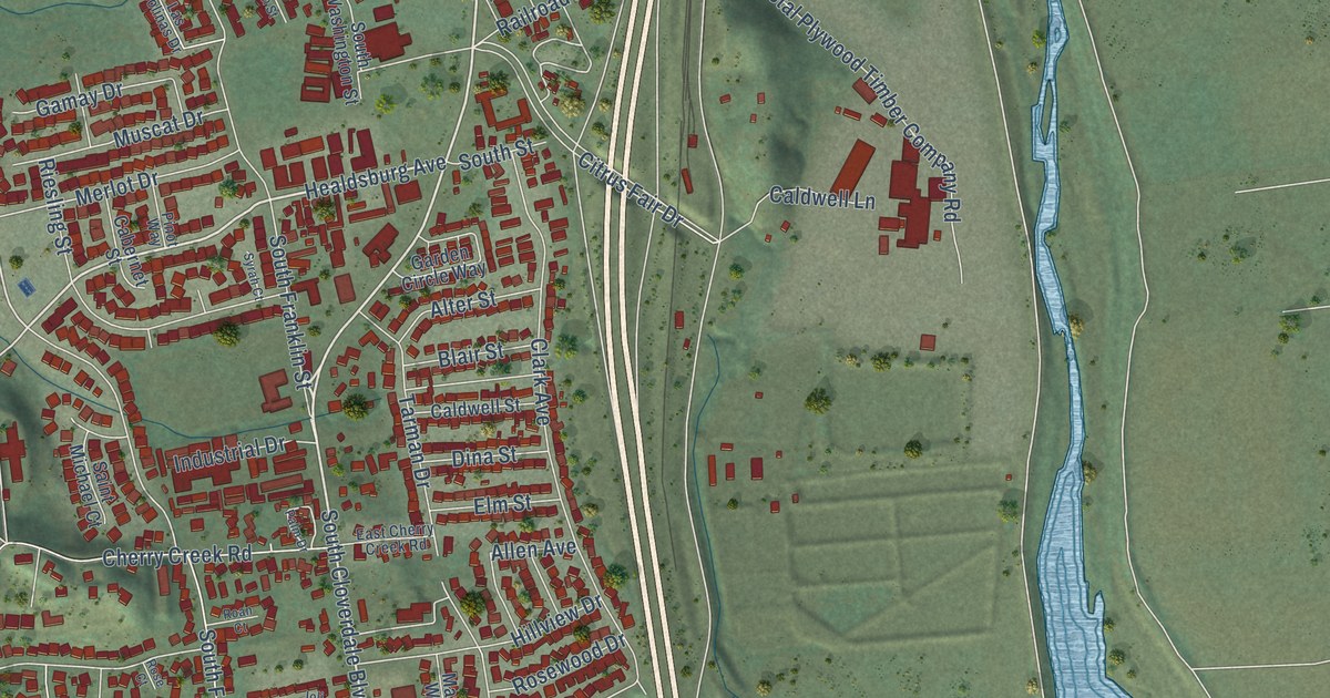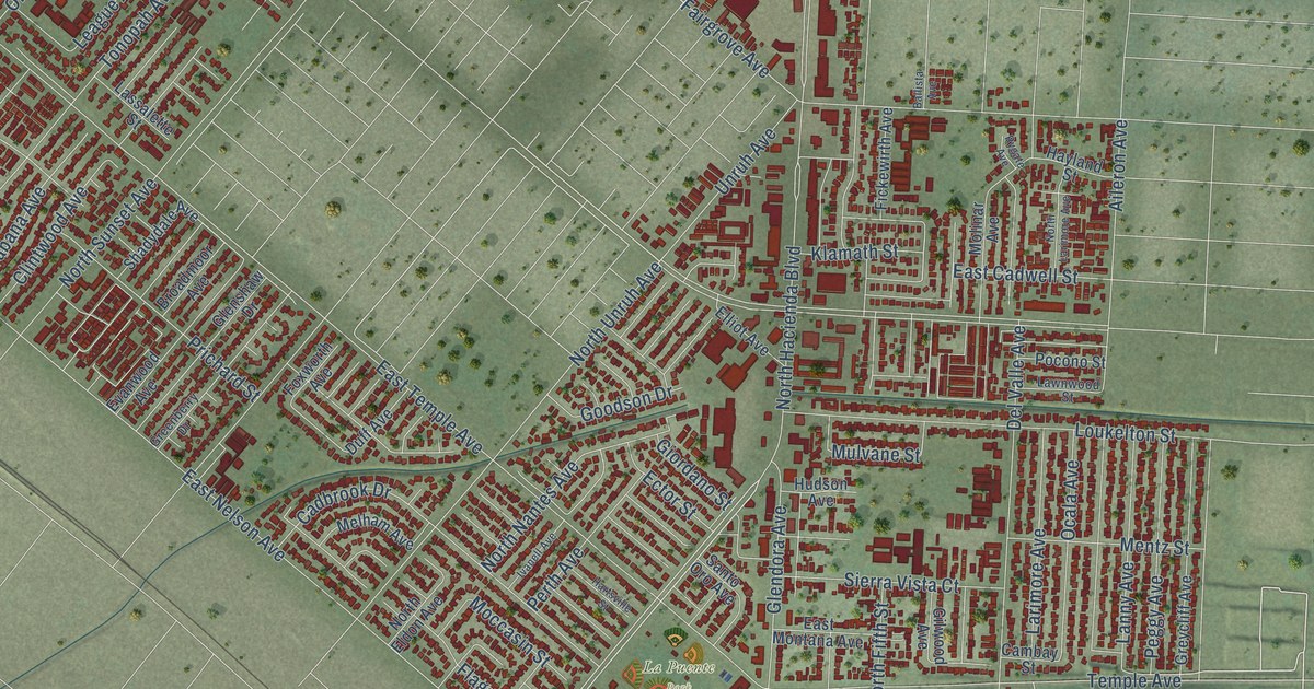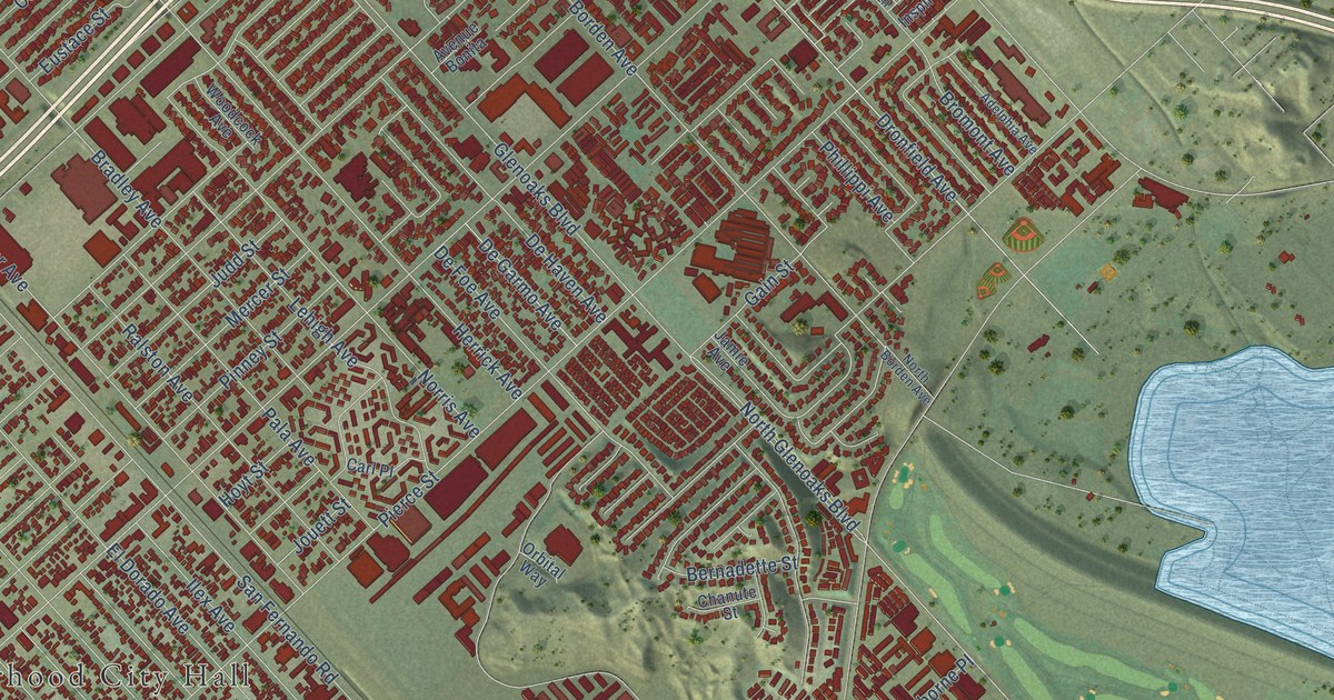
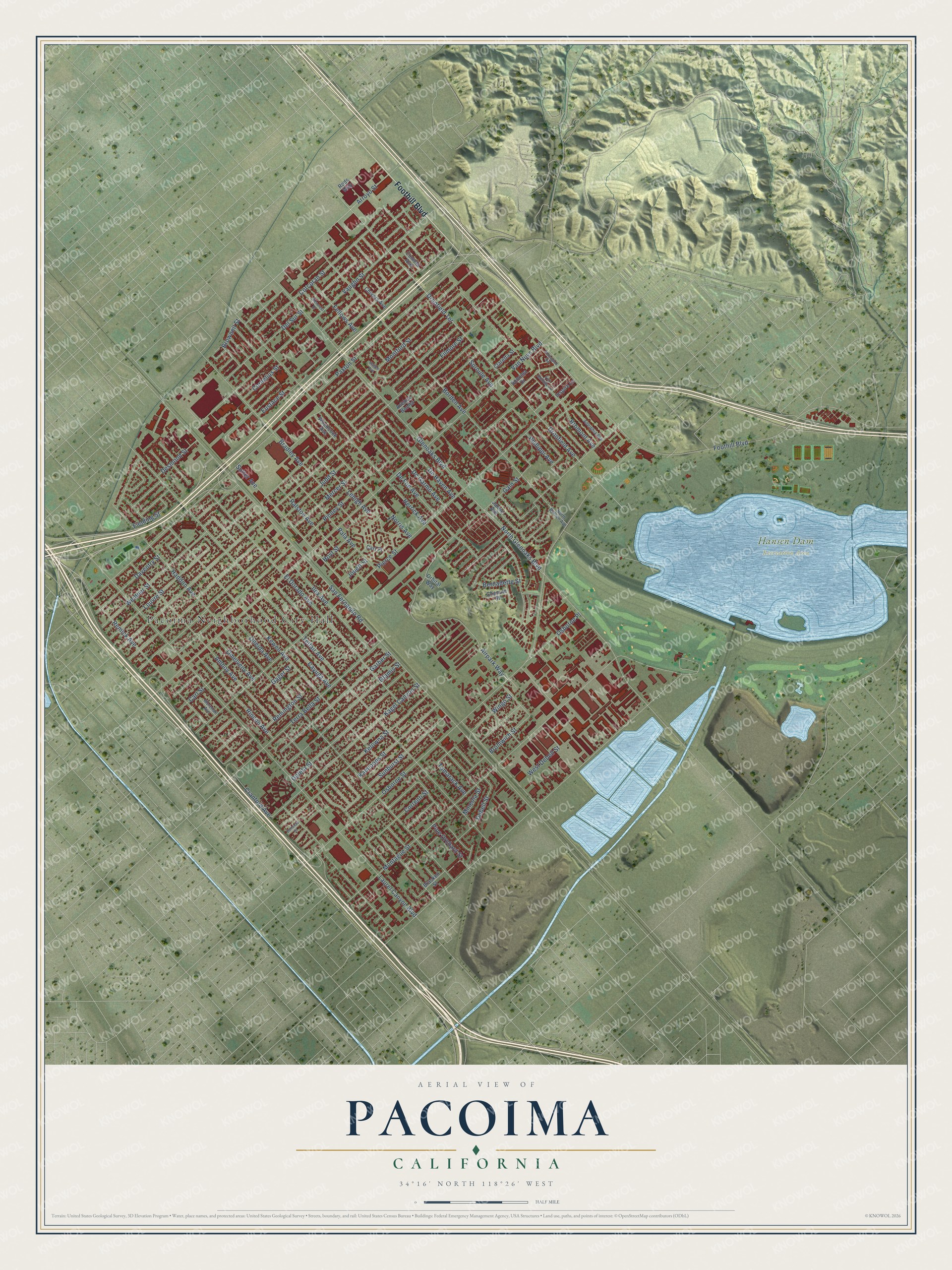
This beautifully detailed map of Pacoima, California was created in 2026 using aerial imagery combined with modern topographical, census, street and landmark data. It's a modern aerial view of Pacoima in Los Angeles County, California, that combines modern data with a vintage aesthetic. The roads feature printed names, and if you look closely you can find your exact house accurately shown in its correct location.
Explore an aerial view of Pacoima, California
On this map you'll find Pacoima Neighborhood City Hall, Hansen Dam Recreation Area, Foothill Boulevard, Terra Bella Street, Borden Avenue, Glamis Street, Wingo Street, San Fernando Road, Glenoaks Boulevard, Osborne Street, Telfair Avenue, Van Nuys Boulevard, and more. Each red shape is a building, so zoom in on the preview and look for yours.
Pacoima is a place in Los Angeles County. The map prints the town name in its title panel, with the coordinates below it.
Take a closer look at the Pacoima map
Names on this map
These names are printed on this map.
Places: Pacoima Neighborhood City Hall and Hansen Dam Recreation Area.
Streets and roads: Foothill Boulevard, Terra Bella Street, Borden Avenue, Glamis Street, Wingo Street, San Fernando Road, Glenoaks Boulevard, Osborne Street, Telfair Avenue, Van Nuys Boulevard, Pierce Street, Paxton Street.
More street names, A to Z
Adelphia Avenue, Airpark Way, Amboy Avenue, Arroyo Street, Avenue Bonita, Bernadette Street, Bonanza Street, Bracken Street, Bradley Avenue, Bromont Avenue, Bromwich Street, Brownell Street, Carl Place, Carl Street, Cayuga Avenue, Chanute Street, Chivers Avenue, Claretta Street, Cometa Avenue, Corcoran Street, Cornelius Street, Correnti Street, Cranford Avenue, Daventry Street, Debell Street, De Foe Avenue, De Garmo Avenue, De Haven Avenue, Del Sur Street, Desmond Street, Dronfield Avenue, Dronfield Terrace, El Dorado Avenue, Eustace Street, Fellows Avenue, Fielding Street, Filmore Street, Fox Hollow Lane, Gager Street, Gain Street, Garber Street, Glencrest Drive, Goleta Street, Haddon Avenue, Herrick Avenue, Honeyglen Road, Hoyt Street, Ilex Avenue, Inspire Lane, Jamie Avenue, Jouett Street, Judd Street, Kagel Canyon Street, Kamloops Street, Kelowna Street, Kewen Avenue, Laurel Canyon Boulevard, Lehigh Avenue, Louvre Street, Magee Avenue, Mercer Street, Mineola Street, Montague Street, Montford Street, Morehart Avenue, Norris Avenue, North Borden Avenue, North Glenoaks Boulevard, Omelveny Avenue, Oneida Avenue, Orbital Way, Osborne Place, Pala Avenue, Phillippi Avenue, Pine Orchard Street, Pinney Street, Ralston Avenue, Remick Avenue, Remington Street, Rincon Avenue, Rods Way, Sonoma Drive, Sproule Avenue, Sunburst Street, Sutter Avenue, Tamarack Avenue, Vaughn Street, Weidner Street, West Debell Street, Woodcock Avenue.
Created by KNOWOL in 2026. The buildings are small red shapes, the roads carry their printed names, and shaded relief shows the shape of the land. The title panel reads "AERIAL VIEW OF PACOIMA CALIFORNIA" with 34°16' NORTH 118°26' WEST.
It suits a den, a classroom or a front hall, and it makes a gift for anyone with Pacoima roots. Open the preview and find the block you know. See sizes and frames for the Pacoima map.