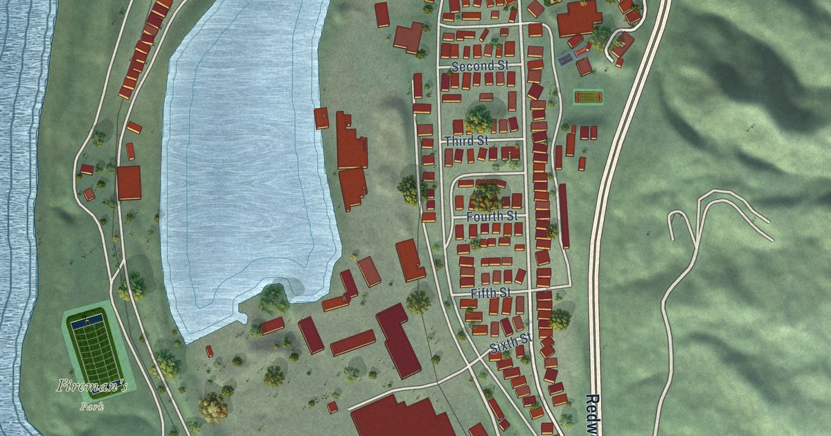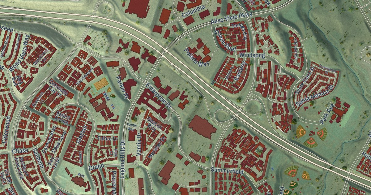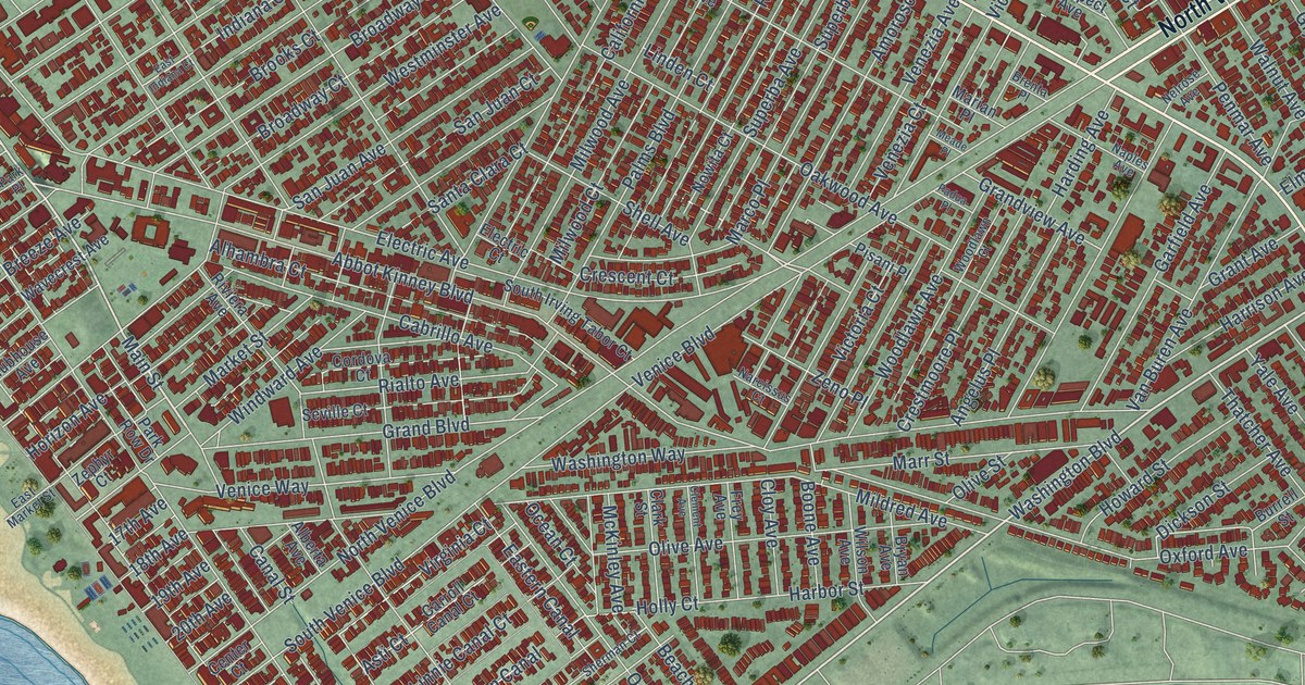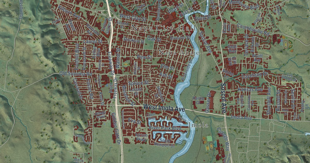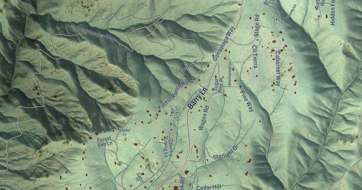
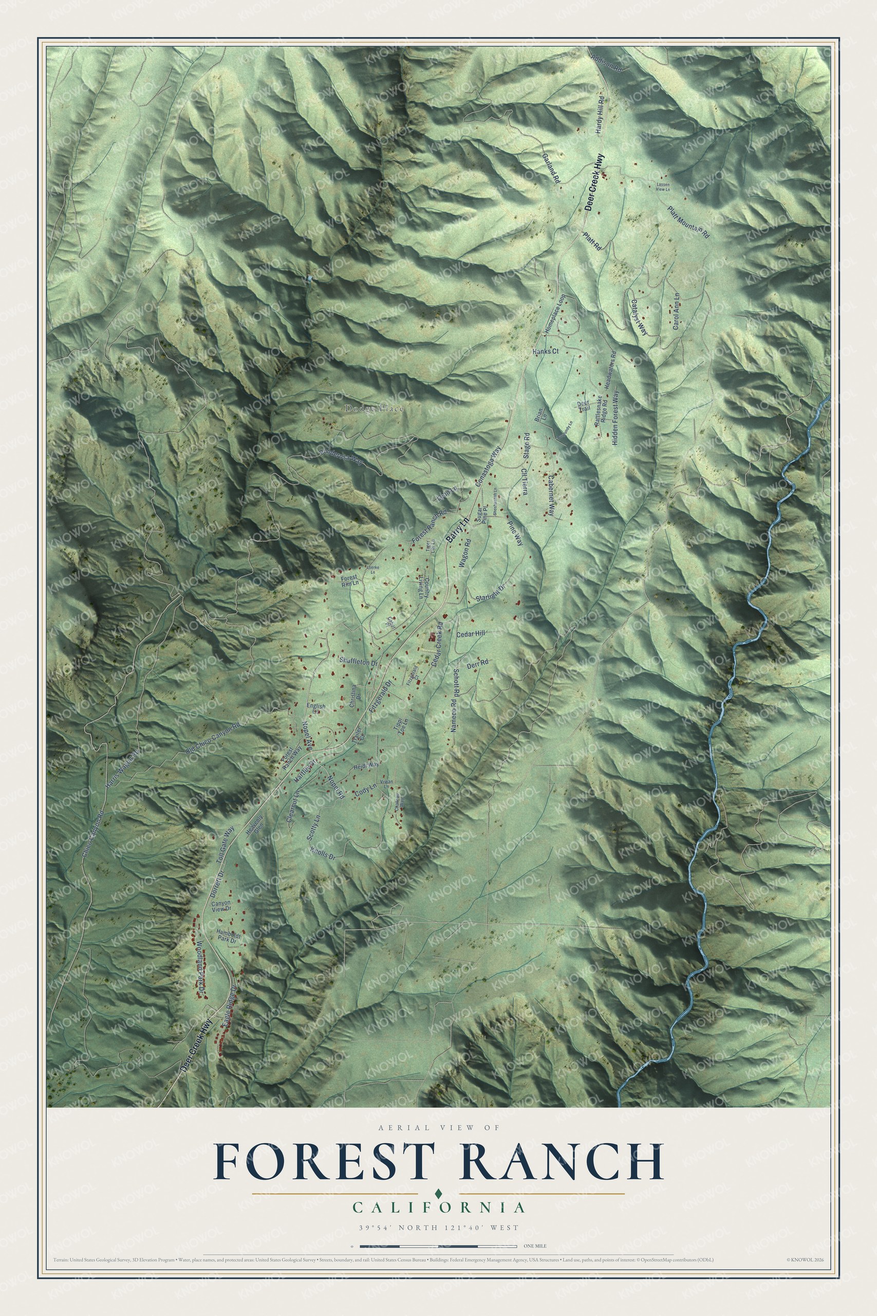
This beautifully detailed map of Forest Ranch, California was created in 2026 using aerial imagery combined with modern topographical, census, street and landmark data. It's a modern aerial view of Forest Ranch in Butte County, California, that combines modern data with a vintage aesthetic. The roads feature printed names, and if you look closely you can find your exact house accurately shown in its correct location.
Explore an aerial view of Forest Ranch, California
On this map you'll find Dodge Place, Barry Lane, Deer Creek Highway, Forest Ranch Road, Nopel Avenue, Nopel Road, Wagon Road, Garland Road, Dorrett Drive, Ponderosa Way, Old Chico Canyon Road, Schott Road, and more. Each red shape is a building, so zoom in on the preview and look for yours.
Forest Ranch is a community in Butte County. The Census Bureau counted 1,304 people here in 2020. Forest Ranch sits about 4 miles east of Cohasset, 6 miles northwest of Magalia and 7 miles west of Stirling City. The map prints the town name in its title panel, with the coordinates below it.
Take a closer look at the Forest Ranch map
Names on this map
These names are printed on this map.
Places: Dodge Place.
Streets and roads: Barry Lane, Deer Creek Highway, Forest Ranch Road, Nopel Avenue, Nopel Road, Wagon Road, Garland Road, Dorrett Drive, Ponderosa Way, Old Chico Canyon Road, Schott Road, Harris Wagon Road.
More street names, A to Z
Addison Road, Brian Lane, Burgundy Lane, Cabernet Way, Cabot Place, Canyon View Drive, Carol Ann Lane, Catalyst Way, Cedar Creek Road, Cedar Hill, Chateau Way, Chico Canyon Road, Christina Drive, Clearcut Lane, Cll Tierra, Cody Lane, Conastoga Way, Country Living Lane, Deer Trail, Derr Road, Eagle Ridge Drive, English Lane, Fitzgerald Court, Fitzgerald Drive, Forest Ranch Way, Forest Rim Lane, Hanks Court, Hardy Hill Road, Hartley Drive, Headwaters Road, Heavenly Glen, Heidi Way, Hidden Forest Way, Homeplace Loop, Humboldt Park Drive, Knolls Drive, Lassen View Lane, Leon Lane, Loerke Lane, Nameco Road, Pine Way, Platt Mountain Road, Platt Road, Rattlesnake Ridge Road, Scotty Lane, Shoshannah Lane, Shuffleton Drive, Stage Road, Starlight Drive, Sugar Pine Place, Tiger Lily Lane, Tippi Toe Lane, Toll Gate Way, Trailer Court, Vivian Lane, Woodland Park Drive.
See it on a wall
The Forest Ranch map as a framed print. Swipe for more.


Created by KNOWOL in 2026. The buildings are small red shapes, the roads carry their printed names, and shaded relief shows the shape of the land. The title panel reads "AERIAL VIEW OF FOREST RANCH, CALIFORNIA" with 39°54' NORTH 121°40' WEST.
Hang it in the hallway, the office or the cabin, or give it to someone who left Forest Ranch and still calls it home. Open the preview and look for a street you know. See sizes and frames for the Forest Ranch map.