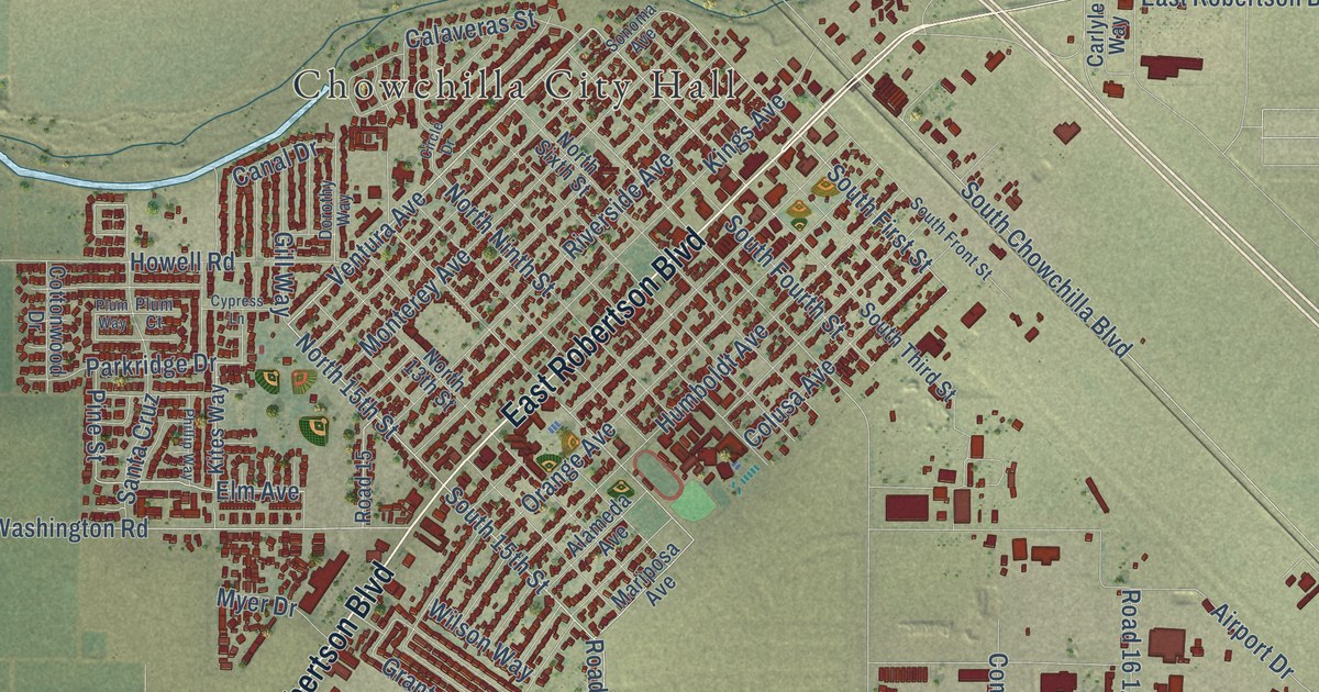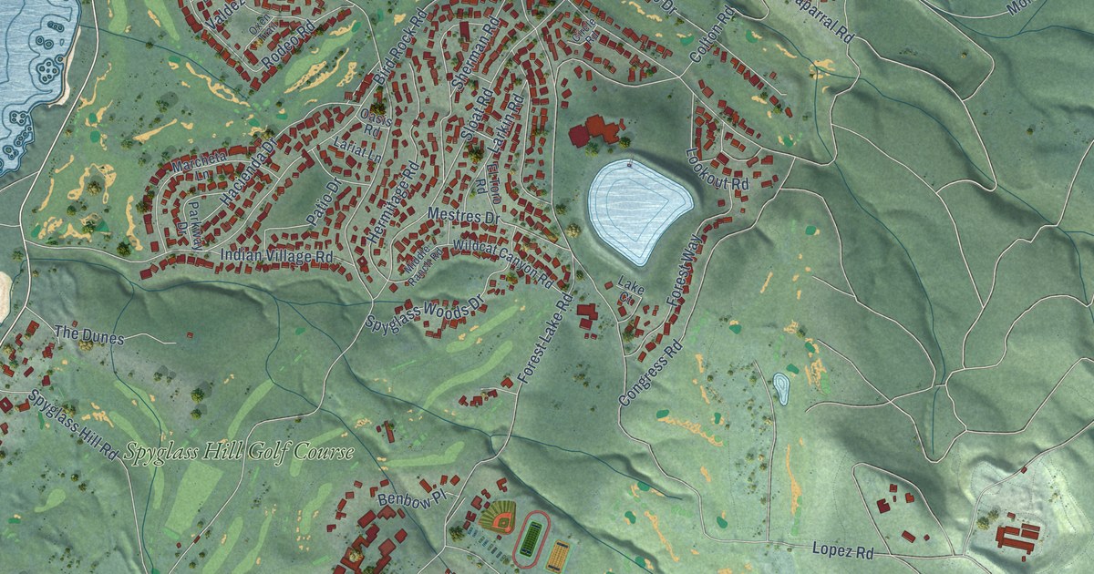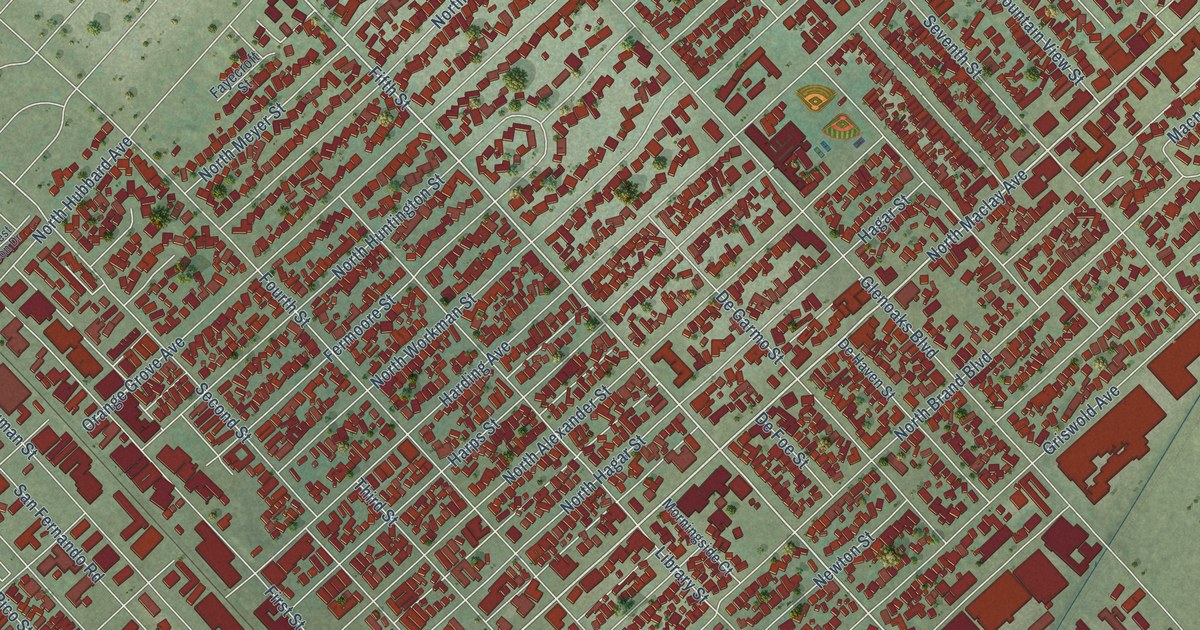
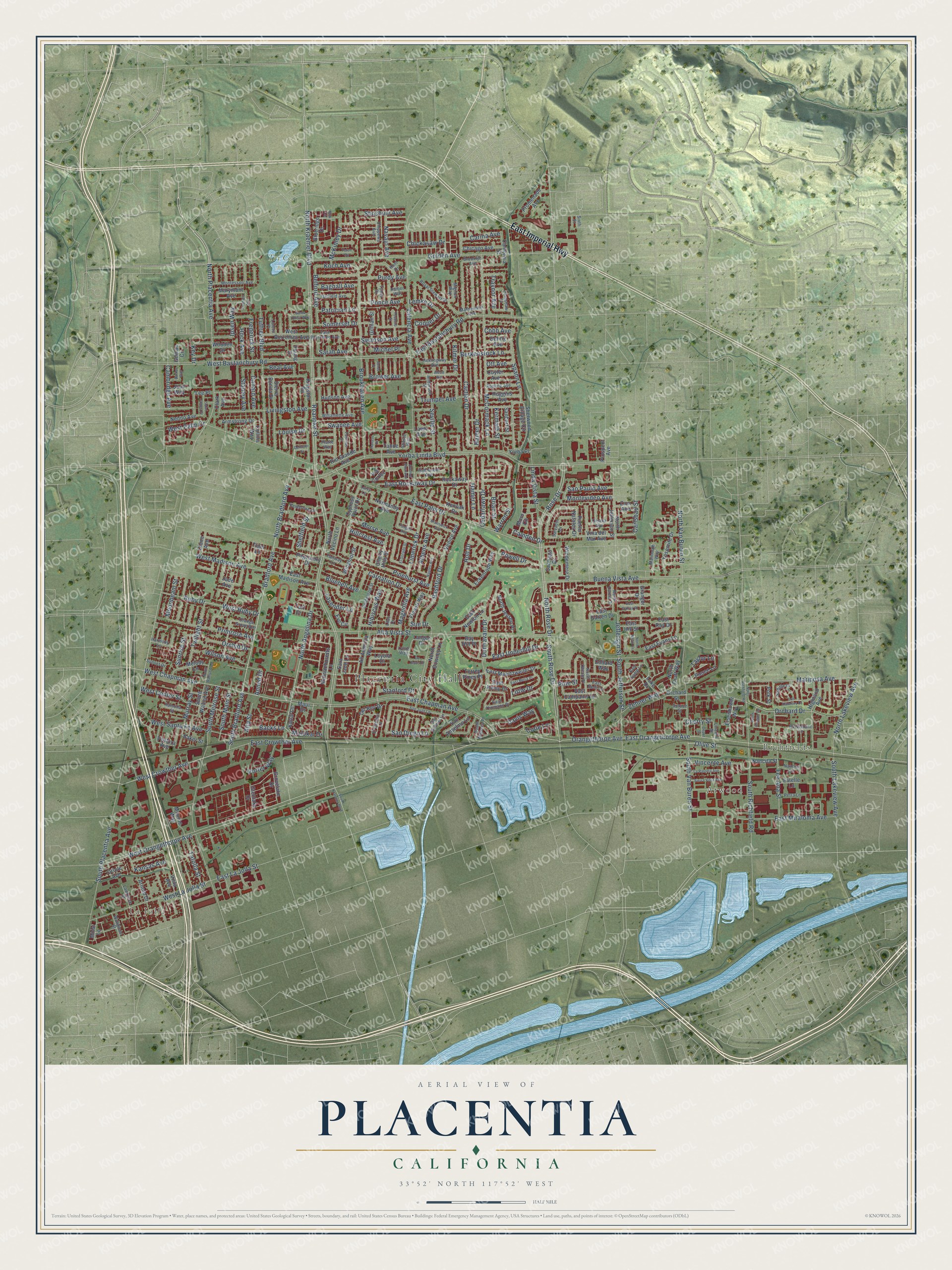
This beautifully detailed map of Placentia, California was created in 2026 using aerial imagery combined with modern topographical, census, street and landmark data. It’s a one-of-a-kind view of Placentia that combines accurate data with a vintage aesthetic. The map shows every building in its true location, many of the roads carry their names, and the shaded topographic relief shows the shape of the land.
Explore an aerial view of Placentia, California
On the map you’ll find Placentia City Hall, Richfields, La Jolla, Atwood, and Tri City Park, along with East Imperial Highway, East Chapman Avenue, North Angelina Drive, West Crowther Avenue, South Bradford Avenue, Carlsbad Street, Molokai Drive, and more. If you look closely you can even find your house accurately drawn in its correct location. Zoom in on the preview to look for yours.
Did you know this piece of Placentia, California history?
From the City of Placentia: "Placentia earned a place on the map in 1910 when A.S. Bradford, Samuel Kraemer, and others persuaded the Santa Fe Railroad to re-route their track through Placentia in order to handle agricultural shipments of local farmers."
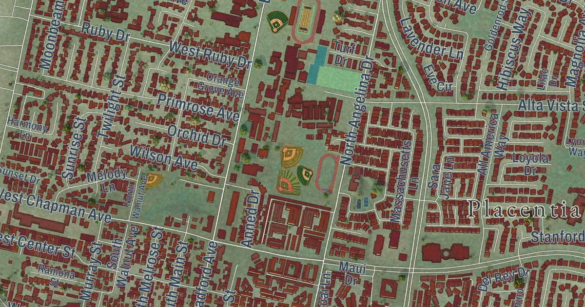
Take a closer look at the Placentia map
Street and place names on the Placentia, California map
These names are printed on the map of Placentia, California.
Places: Placentia City Hall, Richfields, La Jolla, Atwood and Tri City Park.
Streets and roads: East Imperial Highway, East Chapman Avenue, North Angelina Drive, West Crowther Avenue, South Bradford Avenue, Carlsbad Street, Molokai Drive, Sao Paulo Avenue, North Kraemer Boulevard, Rose Drive, North Placentia Avenue, Bradford Avenue.
More street names, A to Z
Alcott Avenue, All America Way, Alta Street, Alta Vista Street, Anderson Street, Anned Drive, Appling Avenue, Armstrong Drive, Arnold Drive, Athens Avenue, Avenue Alvarado, Backs Lane, Bagnall Avenue, Baker Street, Barker Way, Bay Hill Place, Beal Avenue, Belford Avenue, Berkenstock Lane, Bluebell Avenue, Blueridge Drive, Boisseranc Lane, Bow Circle, Brian Street, Brookhaven Avenue, Brooklyn Avenue, Brower Avenue, Brunswick Avenue, Buena Vista Avenue, California Street, Cambridge Avenue, Camden Drive, Canard Avenue, Carina Avenue, Carnation Drive, Cartlen Drive, Cedarlawn Drive, Cherry Hills Street, Cherry Street, Chicago Avenue, Chickasaw Drive, Chippewa Avenue, Clark Avenue, Cobb Avenue, Collard Way, Collins Way, Cooper Drive, Curie Lane, Cuyler Avenue, Cypress Point Drive, Davis Way, De Jesus Drive, Del Rey Drive, Demmer Drive, Depot Street, Diane Avenue, Dunnavant Drive, Earnshaw Drive, East Bastanchury Road, East Belfi Lane, East Borromeo Avenue, East Campanis Lane, East Crowther Avenue, East Evans Lane, East Garcia Place, East Garten Drive, East Hill Street, East Kemp Drive, East La Jolla Street, East Madison Avenue, East Maertzweiler Drive, East Melia Place, East Miraloma Avenue, East Newton Lane, East Orangethorpe Avenue, East Palm Drive, East Ray Drive, East Rockaway Drive, East Samp Lane, East Thomann Drive, East Underhill Drive, Eckenrode Way, Eisenhower Way, El Camino Lane, El Dorado Street, Estelle Lane, Eve Circle, Fairway Lane, Fee Ana Street, Finnell Way, Frederick Street, Fremont Avenue, Garfield Avenue, Gehrig Avenue, Gillilan Street, Gilman Circle, Glenlake Drive, Golden Avenue, Goldenrod Street, Granger Drive, Grovelake Drive, Haiber Way, Hamer Drive, Hamer Lane, Harmony Lane, Havasu Place, Hemingway Avenue, Hibiscus Way, Highland Avenue, Highlander Avenue, Hillcrest Avenue, Hock Avenue, Holt Drive, Hudson Avenue, Huggins Avenue, Hunt Drive, Ipsen Way, Jade Avenue, Jefferson Street, Joan Way, Jones Place, Kansas Avenue, Kauai Lane, Kenoak Drive, Kermath Street, Key Drive, Kilmer Drive, Kingston Road, Koch Avenue, Langer Drive, La Paloma Avenue, Larry Lane, Lavender Lane, Lawn Avenue, Lawrence Street, Lee Place, Lemke Drive, Lilac Drive, Limerick Drive, Lincoln Street, Linda Vista Street, Little Drive, Livingston Avenue, Loreto Place, Los Alamitos Drive, Louise Drive, Loyola Drive, Luke Drive, Lyons Way, Magnolia Avenue, Mammoth Way, Mariposa Avenue, Marymont Avenue, Massachusetts Lane, Mathewson Avenue, Maui Drive, McCormack Lane, McKinley Drive, Melody Lane, Michel Place, Mignon Way, Moisi Lane, Monroe Way, Montessori Avenue, Montevideo Avenue, Moonbeam Street, Moro Circle, Morse Avenue, Murray Street, Nancita Circle, Nancita Street, Naples Avenue, Navajo Avenue, Nenno Avenue, Normandy Avenue, North Bradford Avenue, North Carew Drive, North Downey Lane, North Draft Way, North Jefferson Street, North Jensen Place, North Lakeview Avenue, North Nevin Lane, North Oberle Place, North Richfield Road, North Rose Drive, North Van Buren Street, North Vecino Lane, North Walnut Avenue, Olive Street, Omaha Avenue, Orange Grove Avenue, Orangethorpe Avenue, Orchard Drive, Orchard Street, Orchid Drive, Oriole Avenue, Ott Avenue, Pageantry Drive, Patrician Lane, Pembroke Lane, Petra Lane, Pierce Lane, Pinehurst Avenue, Pine Street, Platte Way, Polk Street, Ponce Avenue, Porter Way, Potomac Street, Powell Drive, Primrose Avenue, Promenade Avenue, Prospect Avenue, Puerto Natales Drive, Purdy Avenue, Ramona Street, Rashford Drive, Rio Grande Avenue, Roanoke Street, Rockaway Drive, Royal Stewart Drive, Ruby Drive, Saddle Drive, Saint James Place, Salvador Drive, San Anselmo Lane, Sanbert Street, San Diego Lane, San Gabriel Lane, San Juan Lane, Santa Rosa Way, Santiago Drive, Sarah Avenue, Sara Jane Lane, Seville Street, Shasta Way, Sheffield Street, Sherwood Village Circle, Shoshoni Avenue, Sierra Bonita Drive, Sierra Vista Avenue, Sixth Street, Somerset Drive, South Jefferson Street, South Kraemer Boulevard, South Lakeview Avenue, South Main Street, South Majorca Place, South Melrose Street, South Placentia Avenue, South Reagan Drive, South Richfield Road, South Rose Drive, South Van Buren Street, South Walnut Avenue, Spahn Lane, Spruce Street, Stanford Drive, Stanley Avenue, Sue Drive, Sunrise Street, Sunset Drive, Swanee Avenue, Swanson Avenue, Tafolla Street, Tahoe Avenue, Tangier Avenue, Taylor Lane, Teodoro Street, Teton Circle, Tiger Lane, Torrey Pines Place, Traynor Avenue, Trumpet Avenue, Tuffree Boulevard, Turf Drive, Twilight Street, Tynes Drive, Valencia Avenue, Venice Avenue, Ventura Avenue, Via Cortez, Vina del Mar Avenue, Vincente Avenue, Vista Avenue, Wallgreen Street, Warren Street, West Bastanchury Road, West Borromeo Avenue, West Center Street, West Chapman Avenue, West La Jolla Street, West Madison Avenue, West Orangethorpe Avenue, West Palm Drive, West Ruby Drive, West Santa Fe Avenue, Willamette Avenue, Wilson Avenue, Windemere Drive, Wingfoot Street, Wooden Drive, Yorba Linda Boulevard, Yorba Place, Yosemite Drive, Young Drive, Zehner Way, Zion Avenue.
See the Placentia, California map on a wall
The Placentia map as an 18 x 24 inch print in a black frame.

This beautifully detailed map of Placentia makes an attractive addition to your office, library, or den, and it can even be used to teach children the geography and history of the area. It also makes a great gift for someone who left Placentia and still calls it home. When you’re done exploring, click here to get your copy of the Placentia map.