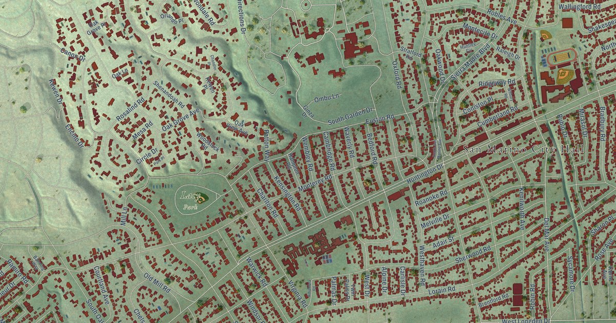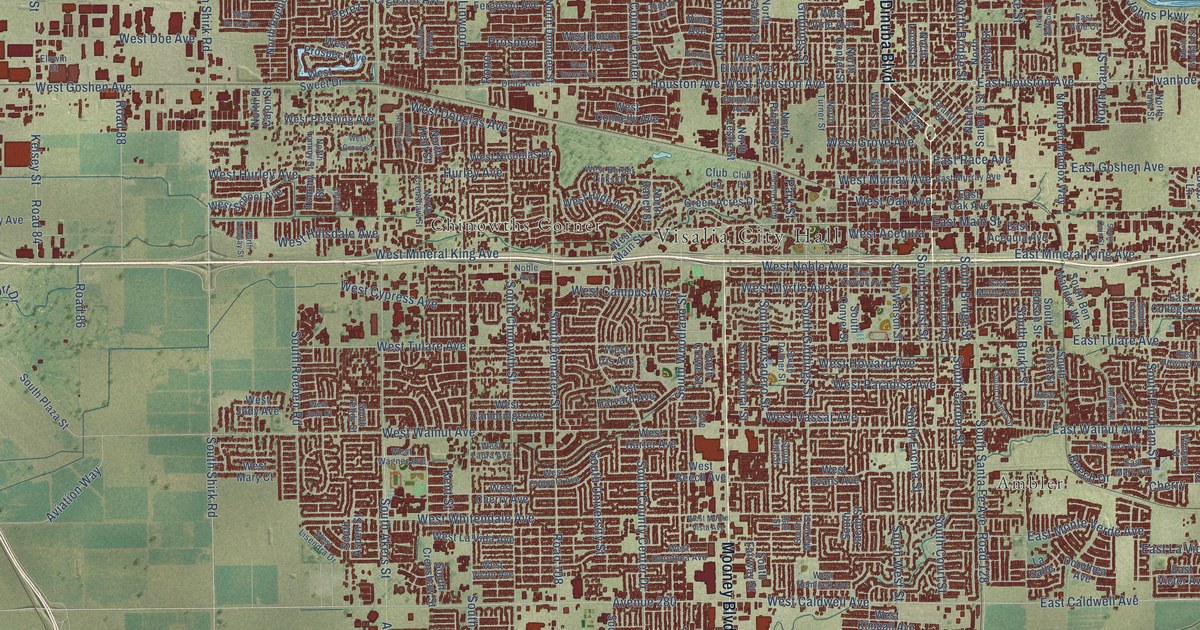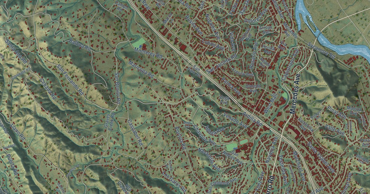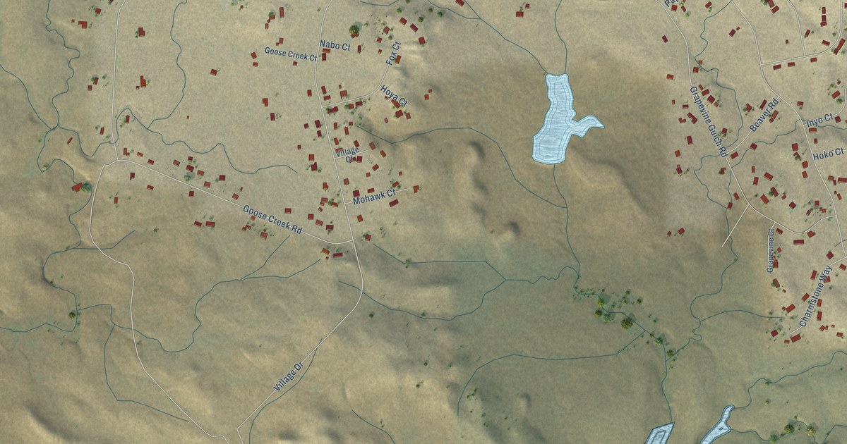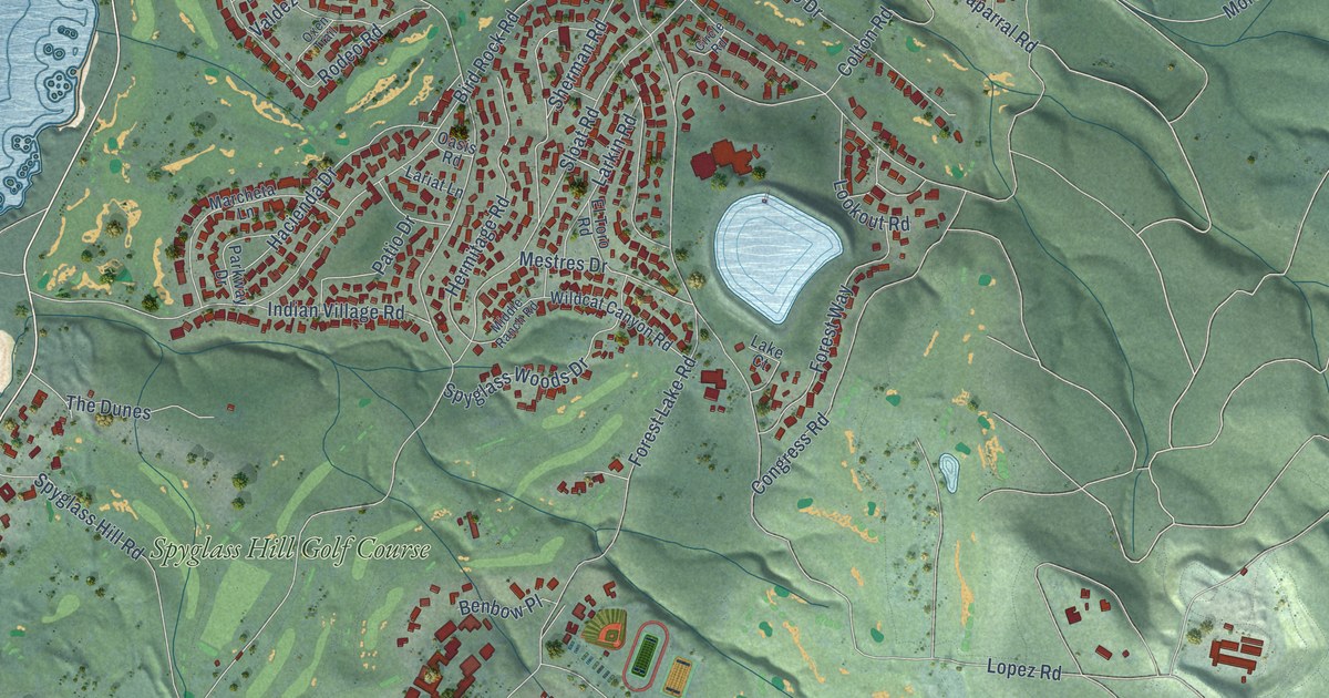
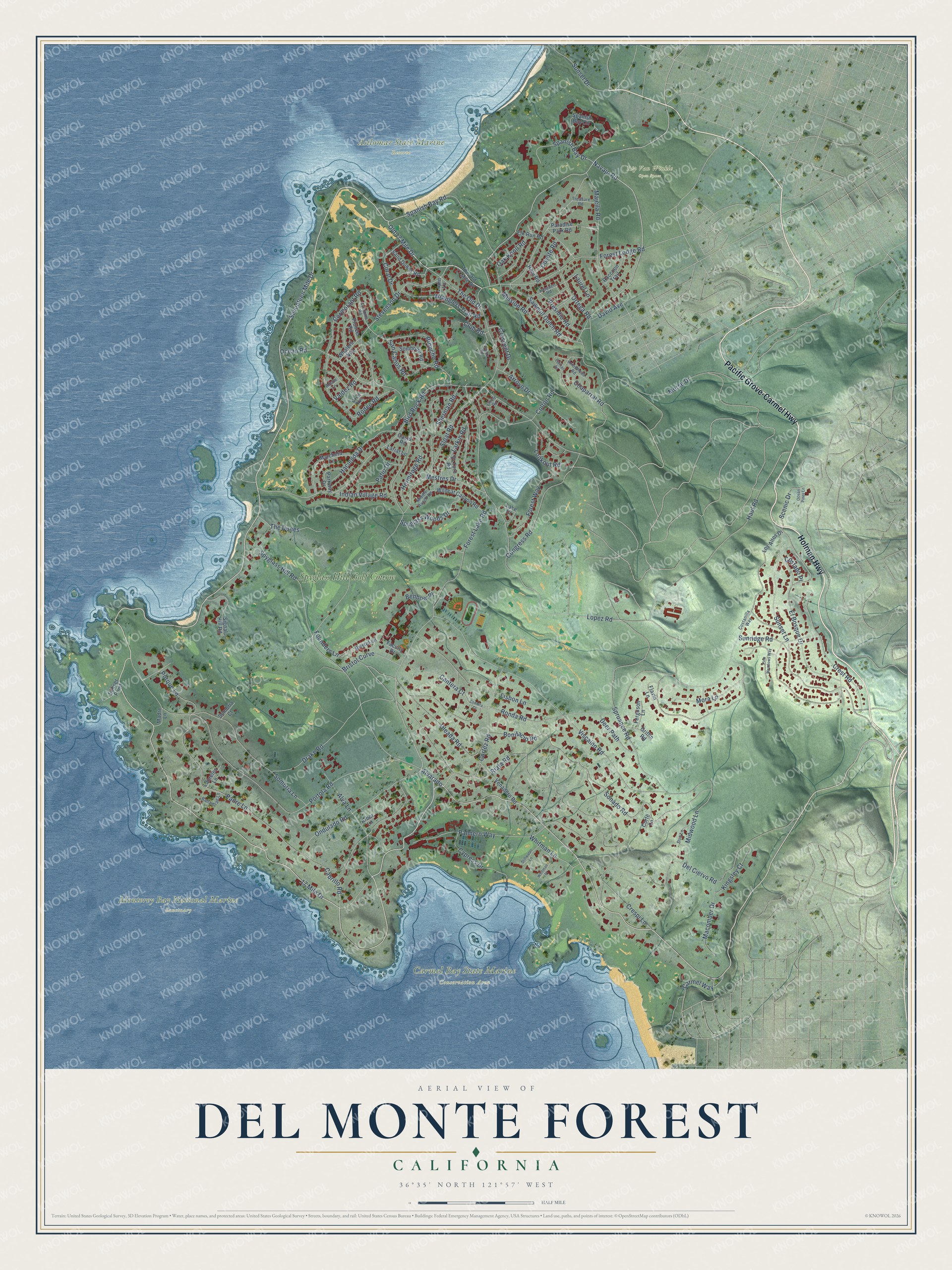
This beautifully detailed map of Del Monte Forest, California was created in 2026 using aerial imagery combined with modern topographical, census, street and landmark data. It's a modern aerial view of Del Monte Forest in Monterey County, California, that combines modern data with a vintage aesthetic. The roads feature printed names, and if you look closely you can find your exact house accurately shown in its correct location.
Explore an aerial view of Del Monte Forest, California
On this map you'll find Asilomar State Marine Reserve, Carmel Bay State Marine Conservation Area, Monterey Bay National Marine Sanctuary, Rip Van Winkle Open Space, Spyglass Hill Golf Course, Holman Highway, Pacific Grove-Carmel Highway, Seventeen Mile Drive, Alvarado, 17 Mile Drive, Forest Lake Road, Congress Road, and more. Each red shape is a building, so zoom in on the preview and look for yours.
Here is a piece of Del Monte Forest history. Samuel F. B. Morse, backed by San Francisco financier Herbert Fleischhacker, bought Pebble Beach from the Pacific Improvement Company. Through his Del Monte Properties Company he set out to make the 20,000-acre tract a country club community while keeping its natural setting safe from overdevelopment. In 1924 Morse set aside about 1,600 acres between Point Joe and Bird Rock and built two 18-hole golf courses, and the Monterey Peninsula Country Club followed in 1926. That's from the National Register of Historic Places.
Del Monte Forest is a community in Monterey County. The Census Bureau counted 4,204 people here in 2020.
Take a closer look at the Del Monte Forest map
Names on this map
These names are printed on this map.
Places: Asilomar State Marine Reserve, Carmel Bay State Marine Conservation Area, Monterey Bay National Marine Sanctuary, Rip Van Winkle Open Space and Spyglass Hill Golf Course.
Streets and roads: Holman Highway, Pacific Grove-Carmel Highway, Seventeen Mile Drive, Alvarado, 17 Mile Drive, Forest Lake Road, Congress Road, Carmel Way, Old 17 Mile Drive, San Carlos Road, Navajo Road, Sunridge Road.
More street names, A to Z
Adobe Lane, Alva Lane, Arbor Lane, Arrowhead Road, Arroyo Drive, Ballantrae Lane, Benbow Place, Bird Rock Road, Bonifacio Road, Bristol Curve, Bristol Lane, Broncho Road, Cabrillo Road, Cantera Court, Chaparral Road, Circle Road, Club Road, Colton Road, Contera Court, Coral Drive, Cormorant Road, Corte Lane, Cortez Road, Costado Place, Costanilla Way, Coyote Road, Crescent Drive, Crespi Lane, Crest Road, Customs Road, Cypress Drive, David Avenue, Deer Path, Del Ciervo Road, Don Lane, Drake Road, El Bosque Drive, Elk Run Road, El Toro Road, Faculty Drive, Ferguson Lane, Flavin Lane, Forest Lodge Road, Forest Way, Founders Lane, Griffin Road, Hacienda Drive, Haul Road, Hermitage Road, Hopi Road, Indian Village Road, Kingsley Court, Lake Court, Lariat Lane, Larkin Road, Lasauen Road, Laureles Lane, Laurel Lane, Lisbon Lane, Lookout Road, Lopez Road, Los Altos Drive, Lupin Lane, Macomber Drive, Madre Lane, Majella Road, Marcheta Lane, Mestres Drive, Middle Ranch Road, Midwood Lane, Mission Road, Mora Lane, Morse Drive, Oak Knoll Road, Oasis Road, Ocean Pines Lane, Ocean Road, Oleada Road, Ondulado Road, Ortega Road, Oxen Trail, Padre Lane, Palmero Way, Paradise Park Road, Parkway Drive, Patio Drive, Pelican Road, Pine Meadows Way, Pioneer Road, Porque Lane, Portola Road, Presidio Road, Quarry Road, Raccoon Trail, Riata Road, Rodeo Road, Ronda Road, Sand Dunes Road, Sawmill Gulch Road, Scenic Drive, Sherman Road, Signal Hill Road, Sloat Road, Sombrero Road, Sombria Court, Sombria Lane, Sonado Road, Spanish Bay Circle, Spanish Bay Drive, Spanish Bay Road, Spruance Road, Spyglass Hill Road, Spyglass Woods Drive, Stevenson Drive, Stillwater Lane, Sunset Drive, Sunset Lane, Sunset Point, The Dunes, The Old 17 Mile Drive, The Old Drive, Treasure Road, Valdez Road, Venadero Road, Viscaino Road, Whalers Way, Whitman Lane, Whitman Place, Wildcat Canyon Road, Wranglers Trail Road.
See it on a wall
The Del Monte Forest map as a framed print. Swipe for more.


Created by KNOWOL in 2026. The buildings are small red shapes, the roads carry their printed names, and shaded relief shows the shape of the land. The title panel reads "AERIAL VIEW OF DEL MONTE FOREST, CALIFORNIA" with 36°35' NORTH 121°57' WEST.
It suits a den, a classroom or a front hall, and it makes a gift for anyone with Del Monte Forest roots. Open the preview and find the block you know. See sizes and frames for the Del Monte Forest map.