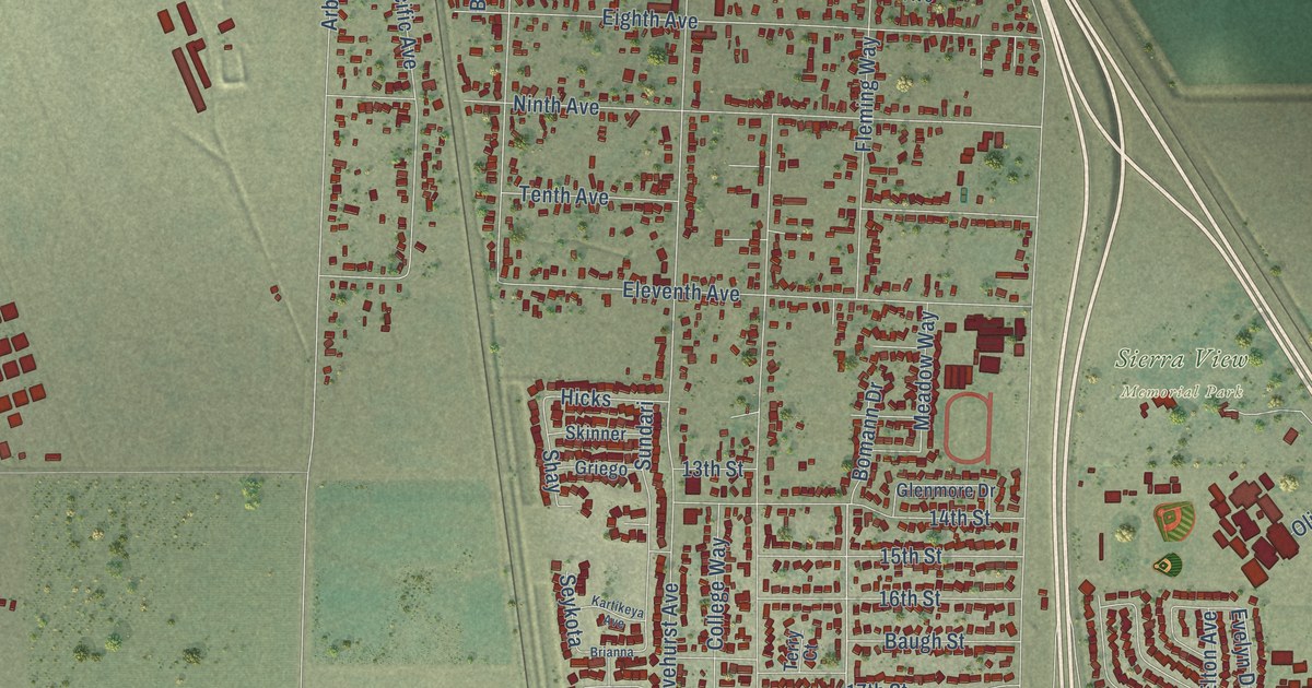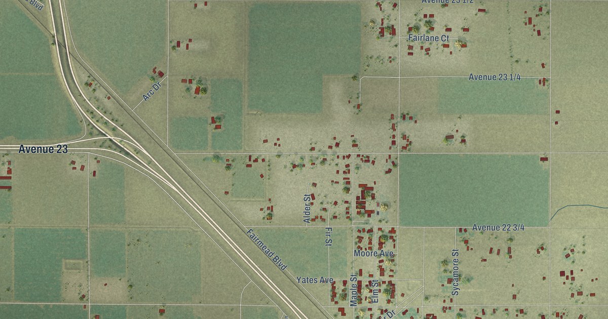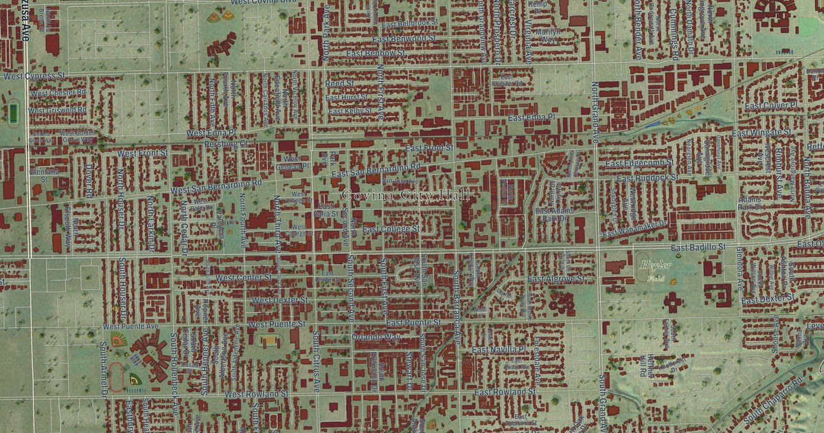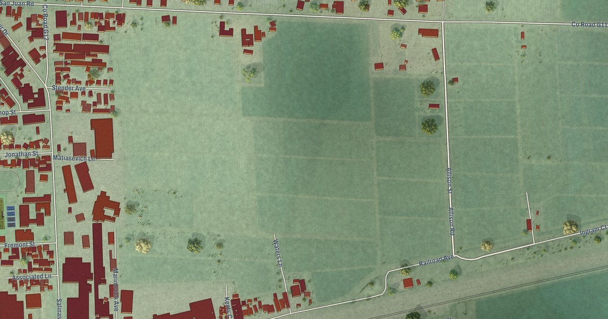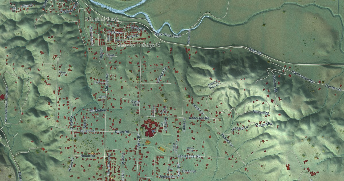
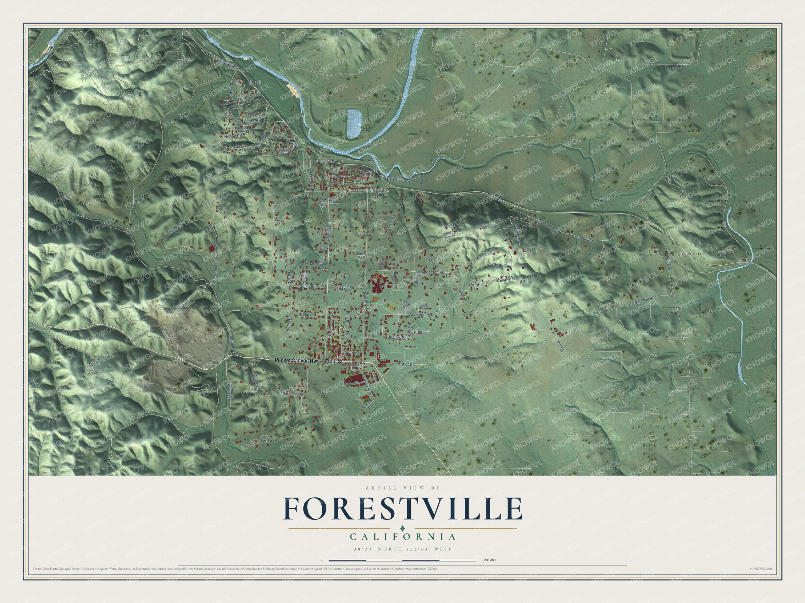
This beautifully detailed map of Forestville, California was created in 2026 using aerial imagery combined with modern topographical, census, street and landmark data. It's a modern aerial view of Forestville in Sonoma County, California, that combines modern data with a vintage aesthetic. The roads feature printed names, and if you look closely you can find your exact house accurately shown in its correct location.
Explore an aerial view of Forestville, California
On this map you'll find Mirabel Heights, Trenton, Rio Dell, Mirabel Park, Front Street, Pocket Canyon Highway, River Road, Mirabel Road, Anderson Road, Travis Road, Old River Road, Covey Road, and more. Each red shape is a building, so zoom in on the preview and look for yours.
Forestville has a story worth telling. Forestville is said to have taken its name from its founder and first settler, A. J. Forrester. The village grew up in Green Valley on the edge of the redwood belt, and most of its people were woodchoppers and lumbermen. The town was also home to a rustic chair factory, and one owner, S. P. Nowlin, made and sold over sixty thousand chairs there in six years. That's from the 1880 History of Sonoma County.
Forestville is a community in Sonoma County. The Census Bureau counted 3,264 people here in 2020.
Take a closer look at the Forestville map
Names on this map
These names are printed on this map.
Places: Mirabel Heights, Trenton, Rio Dell, Mirabel Park and Park.
Streets and roads: Front Street, Pocket Canyon Highway, River Road, Mirabel Road, Anderson Road, Travis Road, Old River Road, Covey Road, Argonne Way, Rio Dell Court, Forestville Street, First Street.
More street names, A to Z
Anderson Court, Argonne Court, Carla Lane, Carol's View Lane, Center Street, Champs de Elysees, Clara Lane, Clark Lane, Conor Court, Covey Extension, Davis Road, Dell Road, Denno Lane, Ellen Lane, Farrell Drive, Forestville Lane, Galusha Lane, Giusti Road, Grape Avenue, Green Lane, Hendricks Lane, Hidden Lake Road, Highway 116 Extended, Hill Road, Hilltop Road, Holmes Hill Road, Hughes Road, Johnson Lane, Kay Lane, Knoll Drive, Laguna Road, Leepin Lane, Lois Lane, Malone Road, Maple Avenue, Marianna Drive, Mark West Creek, Martinelli Road, Martinelli Road Extended, Mc Mullen, Nash Road, Nazielle Road, Niki Lane, Nolan Court, Nolan Road, Norton Road, Oak Avenue, Oak Lane, Ohaire Lane, Old Trenton Road, Olga Lane, Orchard Lane, Orchard Road, Pajaro Lane, Paradise Court, Park Avenue, Poplar Drive, Rancho Molino Trail, Rio Vista Road, Russell Lane, Speer Ranch Road, Spring Drive, Tovah Lane, Trenton Road, Van Keppel Road, Vila Court, Vila Road, Vine Hill Road, Westside Road, Winter Orchard Lane, Wohler Road.
See it on a wall
The Forestville map as a framed print. Swipe for more.


Created by KNOWOL in 2026. The buildings are small red shapes, the roads carry their printed names, and shaded relief shows the shape of the land. The title panel reads "AERIAL VIEW OF FORESTVILLE, CALIFORNIA" with 38°29' NORTH 122°53' WEST.
It looks right in a kitchen, an office or a den, and it's a gift for anyone who grew up in Forestville or moved away. Open the preview and find your street. See sizes and frames for the Forestville map.