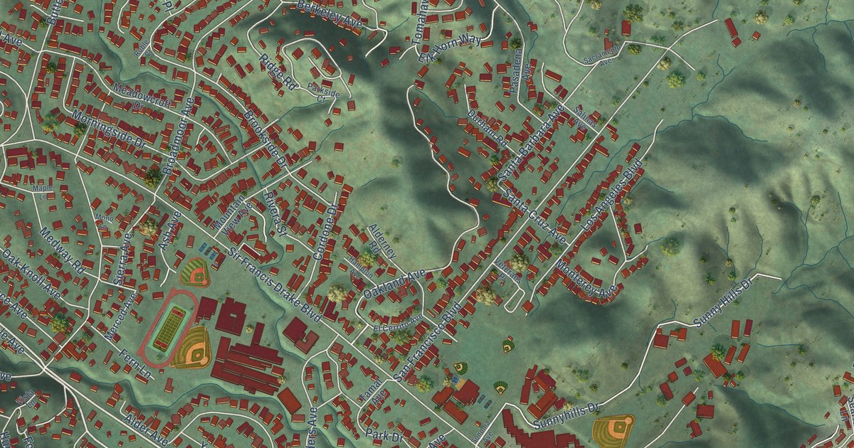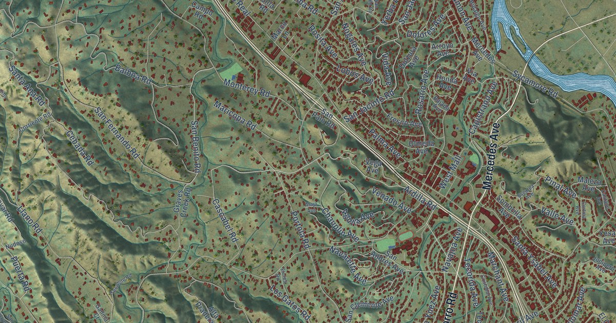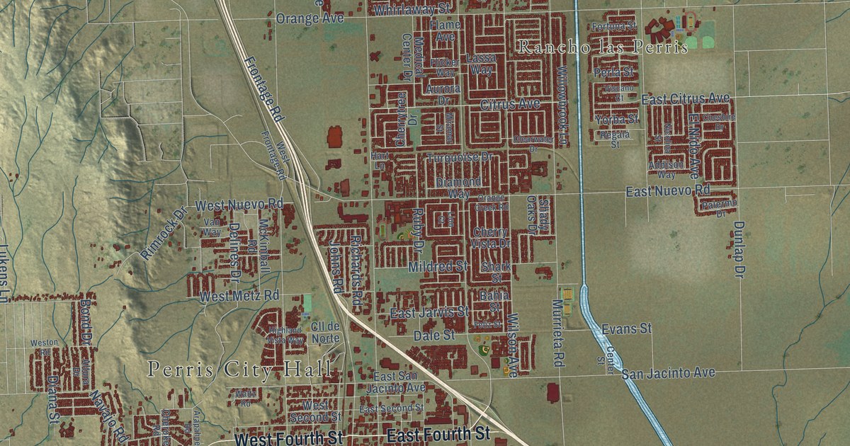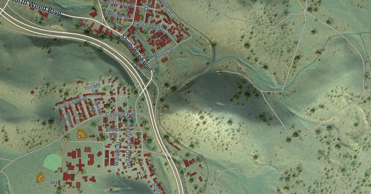
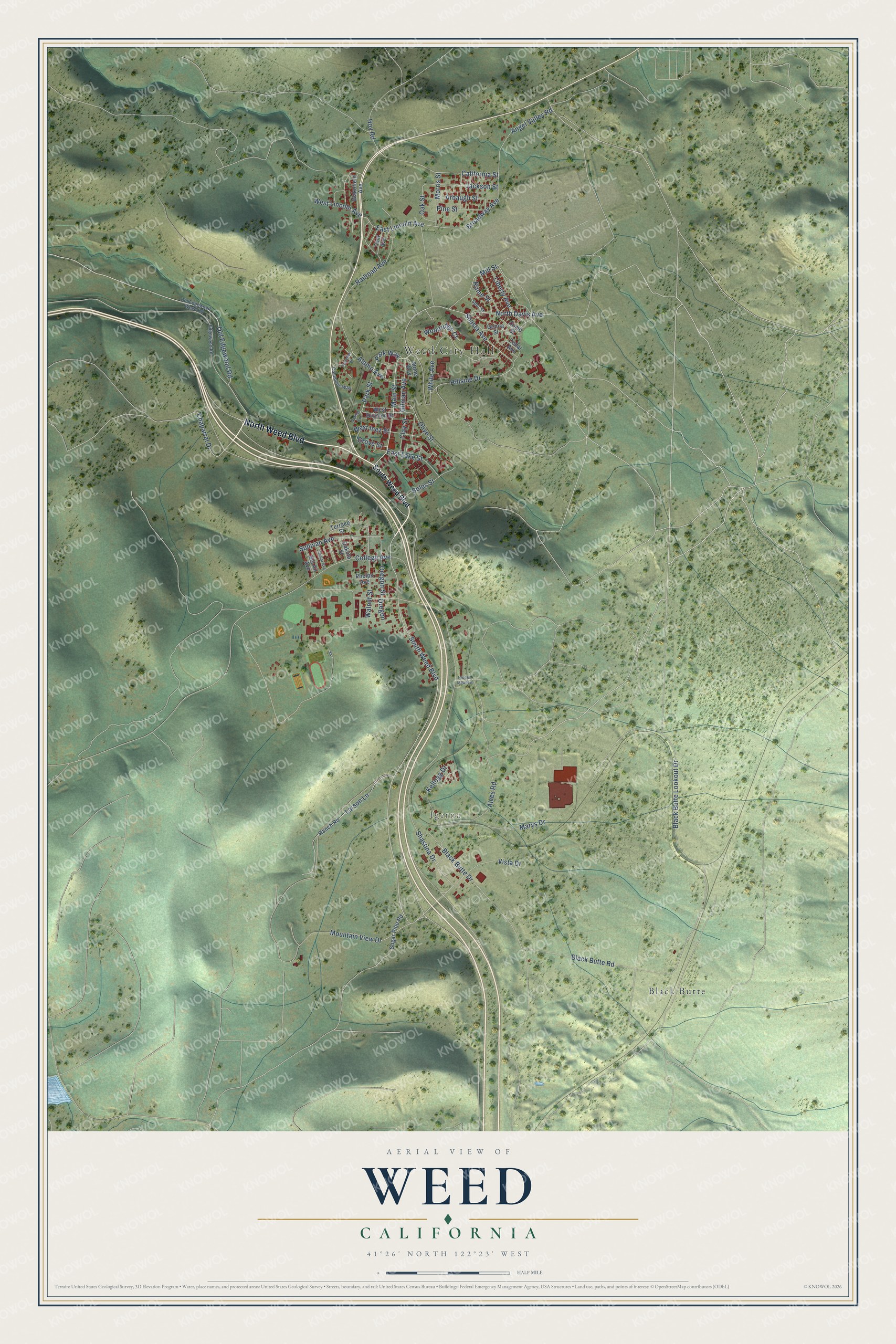
This beautifully detailed map of Weed, California was created in 2026 using aerial imagery combined with modern topographical, census, street and landmark data. It's a modern aerial view of Weed in Siskiyou County, California, that combines modern data with a vintage aesthetic. The roads feature printed names, and if you look closely you can find your exact house accurately shown in its correct location.
Explore an aerial view of Weed, California
On this map you'll find Weed City Hall, Igerna, Black Butte, North Weed Boulevard, Main Street, South Weed Boulevard, Old Edgewood Road, North Davis Avenue, Broadway Avenue, Chaparral Drive, California Street, East Lincoln Avenue, and more. Each red shape is a building, so zoom in on the preview and look for yours.
Every town has a first chapter, and Weed is no exception. The National Register of Historic Places puts it this way: "The complex was built by
the Weed Lumber Company, owned by Abner Weed; his operations formed the nucleua
of the town which grew around it and now bears his name."
Weed is a city in Siskiyou County. The Census Bureau counted 2,862 people here in 2020.
Take a closer look at the Weed map
Names on this map
These names are printed on this map.
Places: Weed City Hall, Igerna and Black Butte.
Streets and roads: North Weed Boulevard, Main Street, South Weed Boulevard, Old Edgewood Road, North Davis Avenue, Broadway Avenue, Chaparral Drive, California Street, East Lincoln Avenue, Mountain View Drive, Black Butte Lookout Drive, Black Butte Drive.
More street names, A to Z
Alamo Avenue, Alves Road, Angel Valley Road, Arbaugh Street, Bel Air Avenue, Black Butte Road, Boles Street, Cedar Avenue, Clay Street, College Avenue, Columbus Way, Como Street, Dakota Street, Dollar Avenue, East Lake Street, Edgewood Road, Florence Drive, Genoa Street, Gilman Avenue, Grove Street, Hidden Meadow, Hillside Drive, Hoy Road, Jackson Street, Kellogg Drive, Larson Lane, Liberty Avenue, Marys Drive, Mill Street, Morris Street, Oak Street, Old Edgewood Weed Road, Olive Street, Oregon, Oregon Street, Park Street, Park Way, Phelps Avenue, Pine Street, Railroad Avenue, Ranch Road, Rome Street, Shasta Avenue, Shastina Drive, Spring Lane, Spur Street, Stone Way, Sugar Pine Road, Sullivan Avenue, Tent Avenue, Terrace Street, Vista Drive, Wakefield Avenue, Walnut Street, West Division Street, West Inez Street, West Lincoln Avenue, White Avenue, Woodridge Court.
Created by KNOWOL in 2026. The buildings are small red shapes, the roads carry their printed names, and shaded relief shows the shape of the land. The title panel reads "AERIAL VIEW OF WEED CALIFORNIA" with 41°26' NORTH 122°23' WEST.
Hang it in the hallway, the office or the cabin, or give it to someone who left Weed and still calls it home. Open the preview and look for a street you know. See sizes and frames for the Weed map.