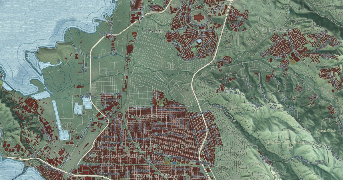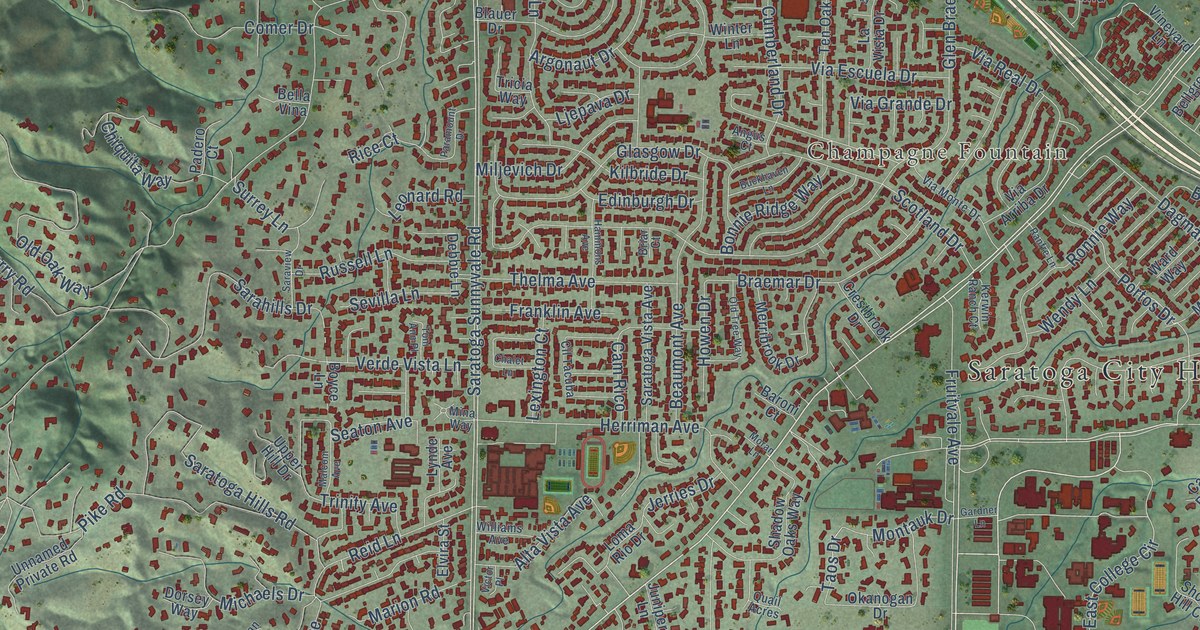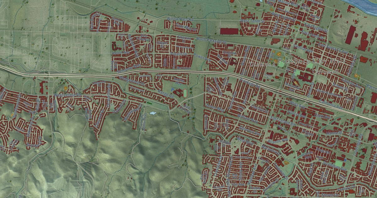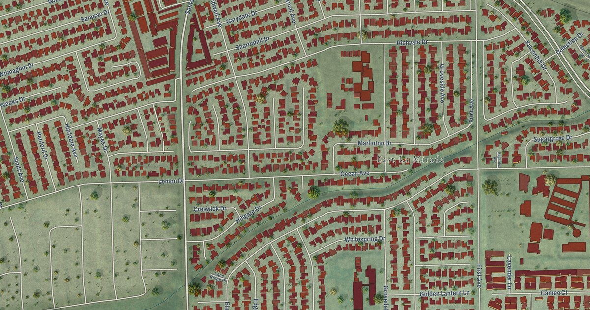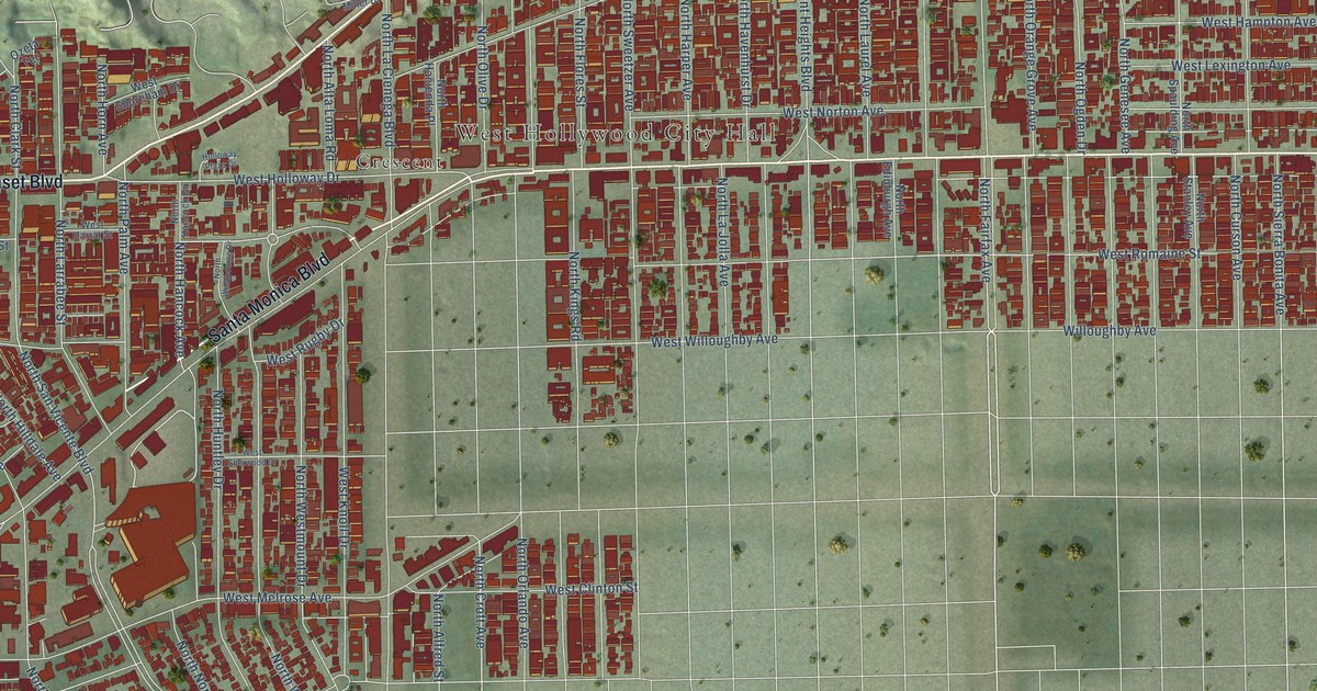
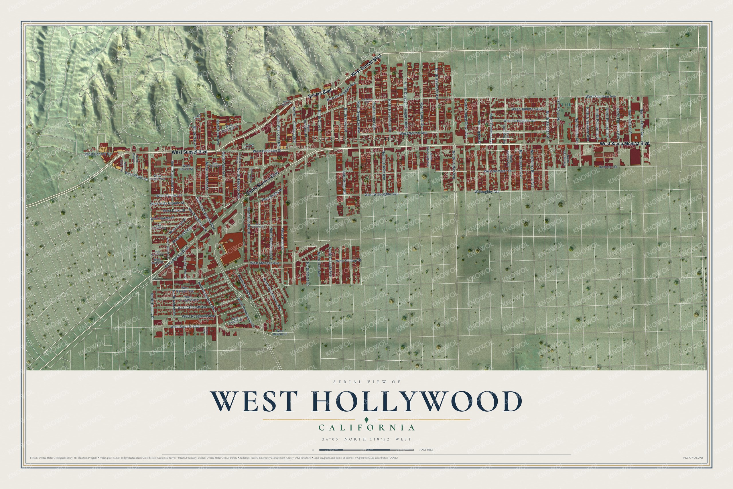
This beautifully detailed map of West Hollywood, California was created in 2026 using aerial imagery combined with modern topographical, census, street and landmark data. It's a modern aerial view of West Hollywood in Los Angeles County, California, that combines modern data with a vintage aesthetic. The roads feature printed names, and if you look closely you can find your exact house accurately shown in its correct location.
Explore an aerial view of West Hollywood, California
On this map you'll find West Hollywood City Hall, Crescent, West Sunset Boulevard, Sunset Boulevard, West Santa Monica Boulevard, Santa Monica Boulevard, North Fairfax Avenue, North Croft Avenue, West Knoll Drive, West Romaine Street, West Beverly Boulevard, North Crescent Heights Boulevard, and more. Each red shape is a building, so zoom in on the preview and look for yours.
Every town has a first chapter, and West Hollywood is no exception. The National Register of Historic Places puts it this way: "With the completion of the Patio del Moro in 1925, the Zwebells designed and built
their next court, the Andalusia, a short distance up the block on Havenhurst Street."
West Hollywood is a city in Los Angeles County. The Census Bureau counted 35,757 people here in 2020.
Take a closer look at the West Hollywood map
Names on this map
These names are printed on this map.
Places: West Hollywood City Hall and Crescent.
Streets and roads: West Sunset Boulevard, Sunset Boulevard, West Santa Monica Boulevard, Santa Monica Boulevard, North Fairfax Avenue, North Croft Avenue, West Knoll Drive, West Romaine Street, West Beverly Boulevard, North Crescent Heights Boulevard, West Doheny Road, North Almont Drive.
More street names, A to Z
Fountain Avenue, Holloway Plaza Drive, North Alfred Street, North Alta Loma Road, North Carol Drive, North Clark Drive, North Clark Street, North Cory Avenue, North Curson Avenue, North Detroit Street, North Doheny Drive, North Edinburgh Avenue, North Flores Street, North Formosa Avenue, North Fuller Avenue, North Gardner Street, North Genesee Avenue, North Greenacre Avenue, North Hacienda Place, North Hammond Street, North Hancock Avenue, North Hancock Drive, North Harper Avenue, North Havenhurst Drive, North Hayworth Avenue, North Hilldale Avenue, North Horn Avenue, North Huntley Drive, North Kings Road, North La Brea Avenue, North La Cienega Boulevard, North La Jolla Avenue, North La Peer Drive, North Larrabee Street, North Laurel Avenue, North Martel Avenue, North Miller Drive, North Norwich Drive, North Ogden Drive, North Olive Drive, North Orange Grove Avenue, North Orlando Avenue, North Palm Avenue, North Poinsettia Drive, North Poinsettia Place, North Robertson Boulevard, North San Vicente Boulevard, North Sherbourne Drive, North Sierra Bonita Avenue, North Spaulding Avenue, North Stanley Avenue, North Sweetzer Avenue, North Vista Street, North Westbourne Avenue, North Westbourne Drive, North Westmount Drive, North Willey Lane, Ozeta Terrace, Romaine Street, West Ashcroft Avenue, West Beverly Place, West Bonner Drive, West Clinton Street, West Cynthia Street, West De Longpre Avenue, West Dicks Street, West Dorrington Avenue, West Elevado Avenue, West Fountain Avenue, West Hampton Avenue, West Harland Avenue, West Harrat Street, West Harratt Street, West Holloway Drive, West Keith Avenue, West Lexington Avenue, West Lloyd Place, West Melrose Avenue, West Nemo Street, West Norma Place, West Norton Avenue, West Phyllis Avenue, West Phyllis Street, West Rangely Avenue, West Rosewood Avenue, West Rugby Drive, West Sherwood Drive, West Shoreham Drive, West Vista Grande Street, West Willoughby Avenue, Willoughby Avenue.
Created by KNOWOL in 2026. The buildings are small red shapes, the roads carry their printed names, and shaded relief shows the shape of the land. The title panel reads "AERIAL VIEW OF WEST HOLLYWOOD CALIFORNIA" with 34°05' NORTH 118°22' WEST.
Hang it in the hallway, the office or the cabin, or give it to someone who left West Hollywood and still calls it home. Open the preview and look for a street you know. See sizes and frames for the West Hollywood map.