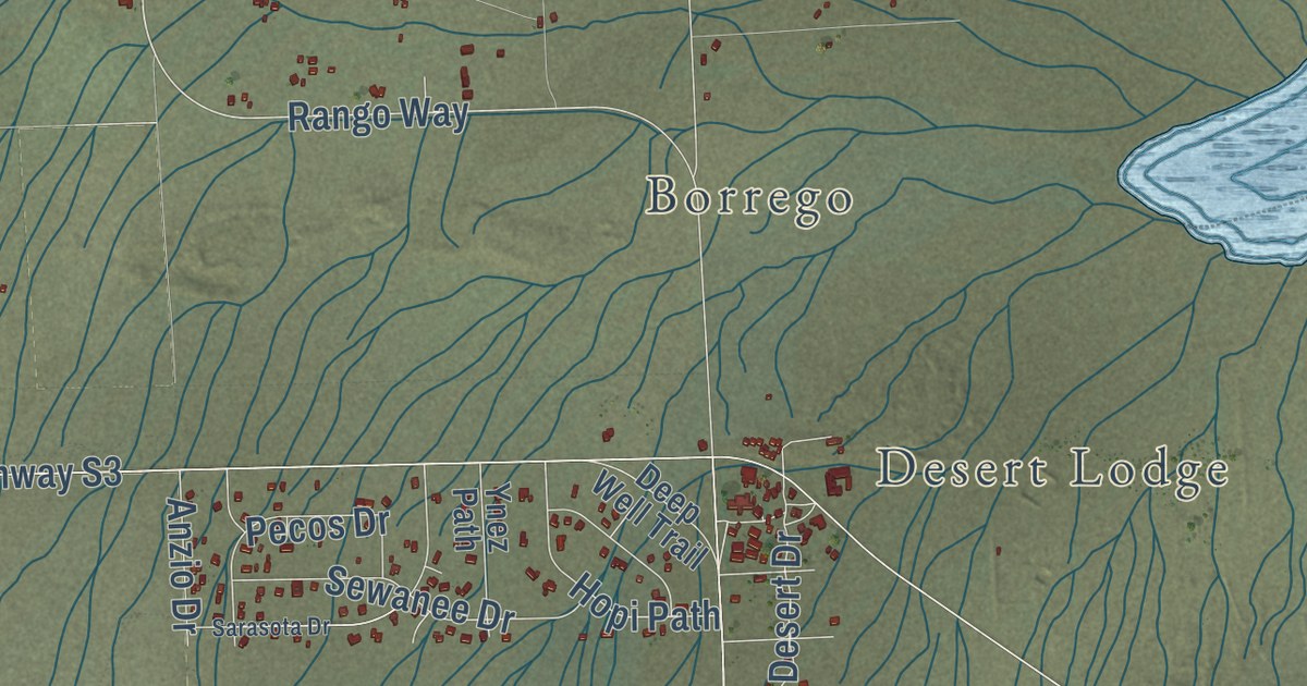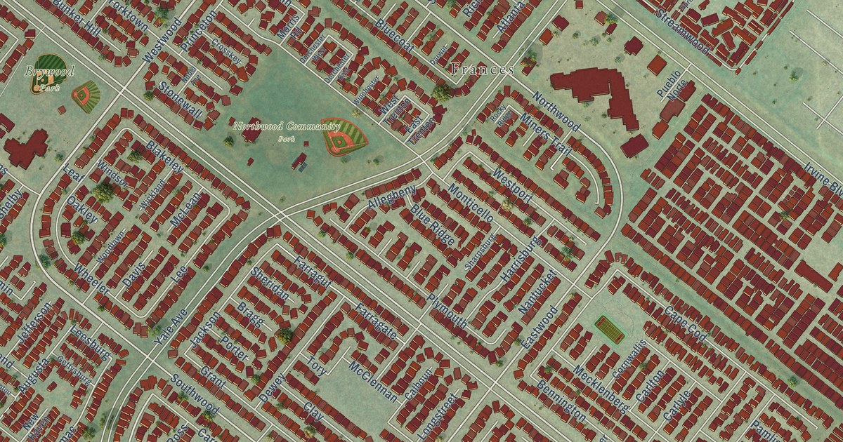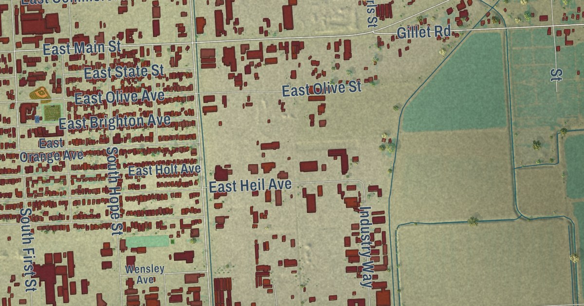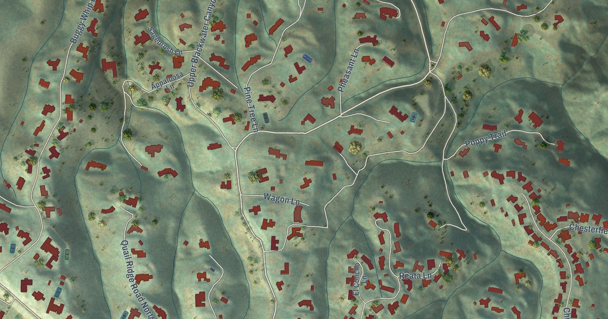
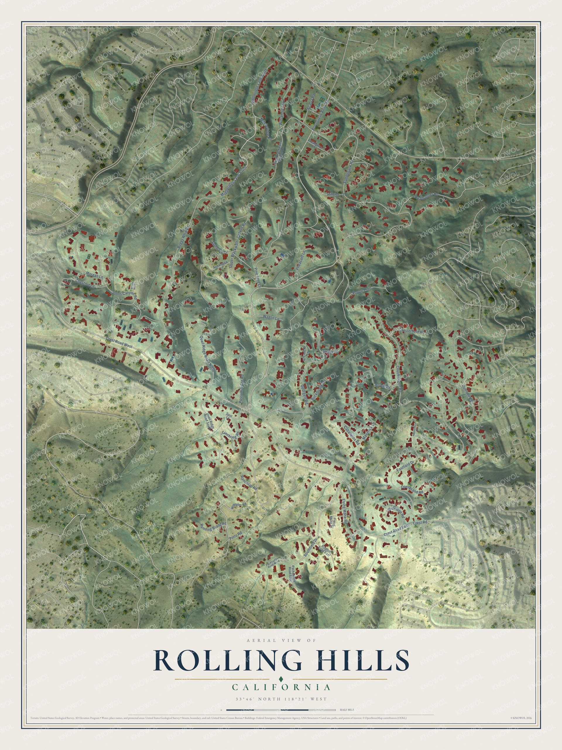
This beautifully detailed map of Rolling Hills, California was created in 2026 using aerial imagery combined with modern topographical, census, street and landmark data. It’s a one-of-a-kind view of Rolling Hills that combines accurate data with a vintage aesthetic. The map shows every building in its true location, many of the roads carry their names, and the shaded topographic relief shows the shape of the land.
Explore an aerial view of Rolling Hills, California
On the map you’ll find Middleridge Lane South, Southfield Drive, Portuguese Bend Road, Crest Road West, Eastfield Drive, Saddleback Road, Crest Road East, Buggy Whip Drive, Georgeff Road, Chuckwagon Road, Johns Canyon Road, Pine Tree Lane, and more. If you look closely you can even find your house accurately drawn in its correct location. Zoom in on the preview to look for yours.
Did you know this piece of Rolling Hills, California history?
From the Los Angeles Almanac: "The rancho owner, A.E. Hanson, originally planned to name the area Folded Hills, but changed his mind after the Long Beach earthquake in 1933."
Take a closer look at the Rolling Hills map
Street names on the Rolling Hills, California map
These names are printed on the map of Rolling Hills, California.
Streets and roads: Middleridge Lane South, Southfield Drive, Portuguese Bend Road, Crest Road West, Eastfield Drive, Saddleback Road, Crest Road East, Buggy Whip Drive, Georgeff Road, Chuckwagon Road, Johns Canyon Road, Pine Tree Lane.
More street names, A to Z
Acacia Road, Appaloosa Lane, Bowie Road, Buckboard Lane, Caballeros Road, Chesterfield Road, Chestnut Lane, Cinchring Road, Crest Road, El Concho Lane, Eucalyptus Lane, Flying Mane Lane, Flying Mane Road, Hackamore Road, Hillside Lane, Lower Blackwater Canyon Road, Maverick Lane, Middleridge Lane North, Middleridge Road, Morgan Lane, Openbrand Road, Outrider Road, Packsaddle Road East, Packsaddle Road West, Pheasant Lane, Pinto Road, Poppy Trail, Possum Ridge Road, Quail Ridge Road North, Quail Ridge Road South, Ranchero Road, Reata Lane, Ringbit Road East, Roadrunner Road, Running Brand Road, Sagebrush Lane, Spur Lane, Storm Hill Lane, Upper Blackwater Canyon Road, Wagon Lane, Wideloop Road, Williamsburg Lane, Wrangler Road.
See the Rolling Hills, California map on a wall
The Rolling Hills map as an 18 x 24 inch print in a black frame.

This beautifully detailed map of Rolling Hills makes an attractive addition to your office, library, or den, and it can even be used to teach children the geography and history of the area. It also makes a great gift for anyone with Rolling Hills roots. When you’re done exploring, click here to get your copy of the Rolling Hills map.