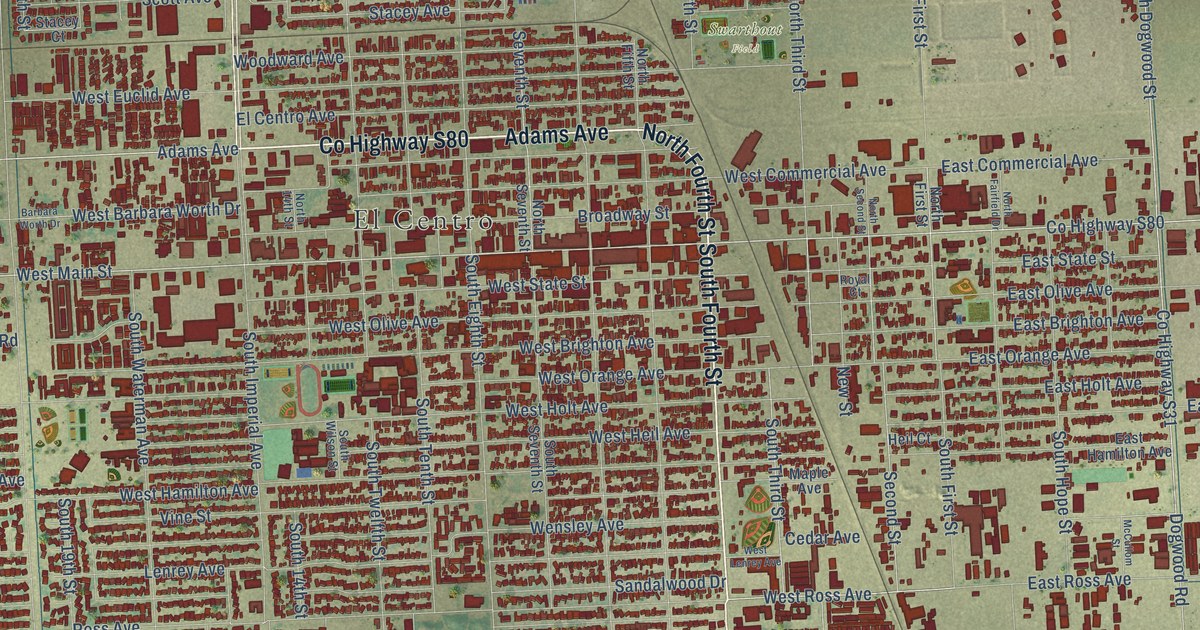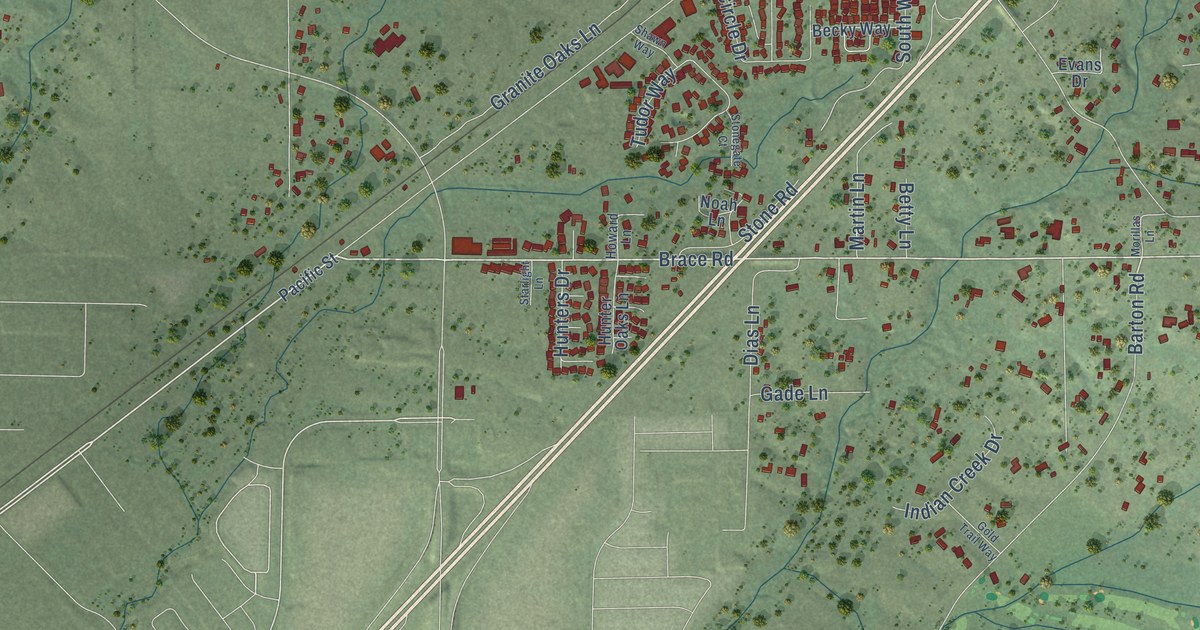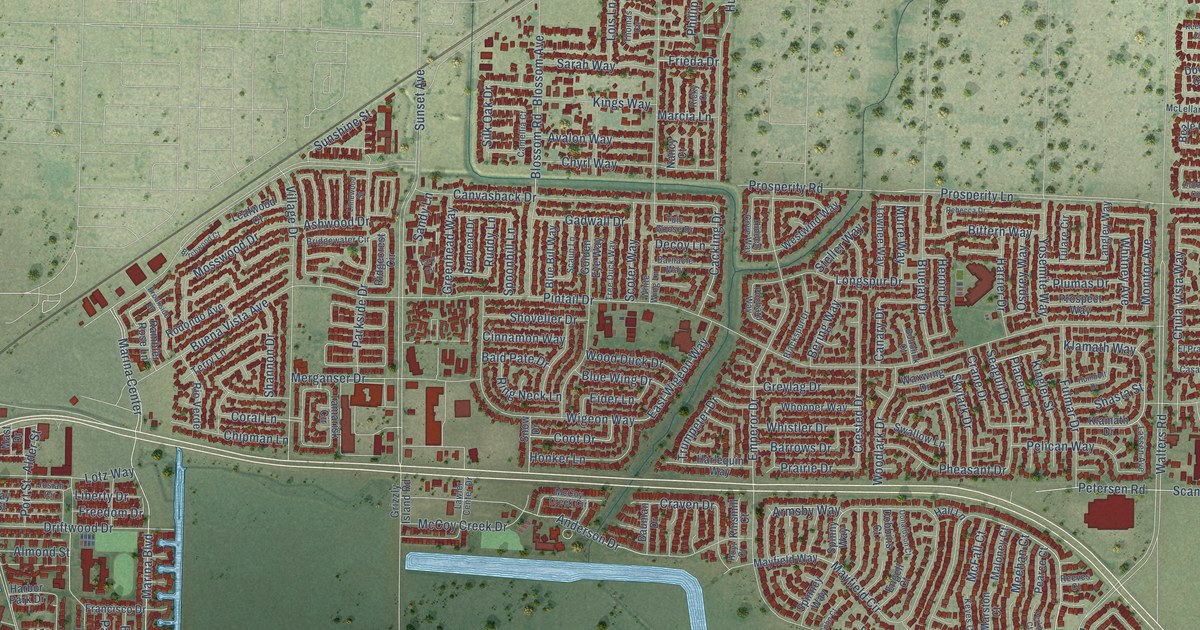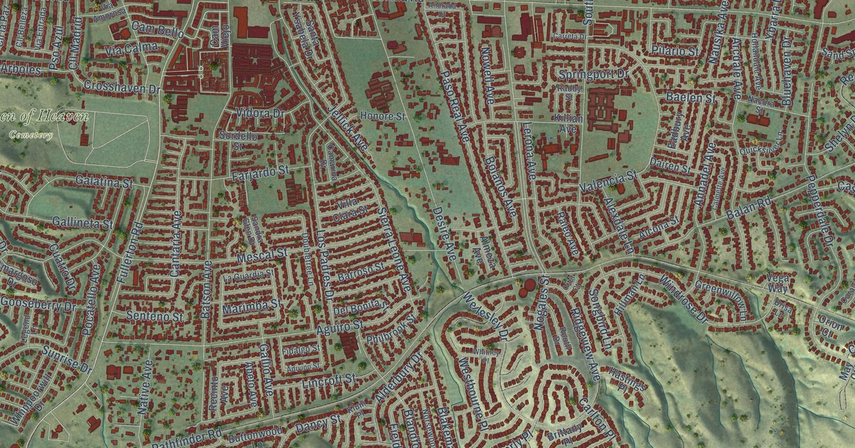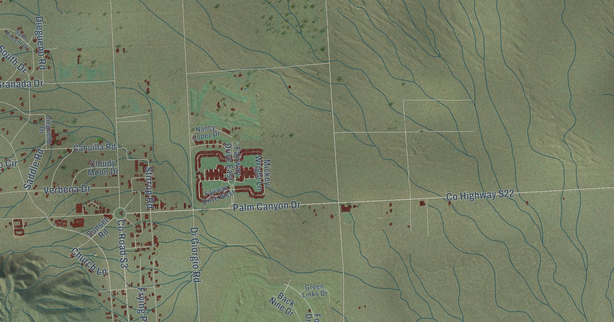
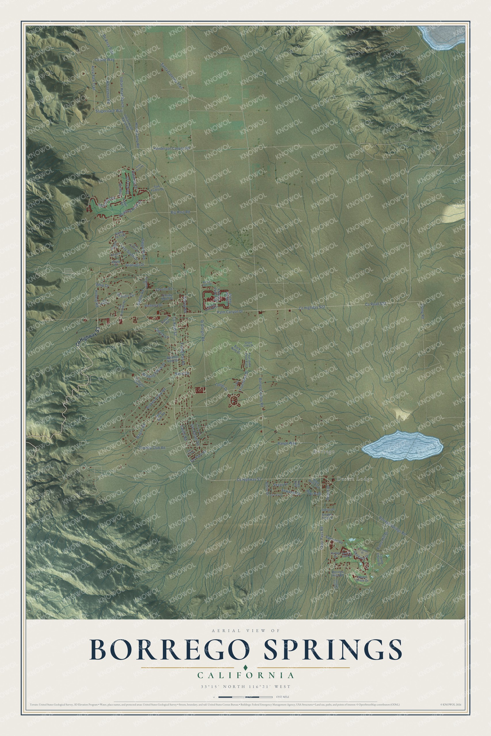
This beautifully detailed map of Borrego Springs, California was created in 2026 using aerial imagery combined with modern topographical, census, street and landmark data. It's a modern aerial view of Borrego Springs in San Diego County, California, that combines modern data with a vintage aesthetic. The roads feature printed names, and if you look closely you can find your exact house accurately shown in its correct location.
Explore an aerial view of Borrego Springs, California
On this map you'll find Desert Lodge, Borrego, Co Highway S3, Horse Camp Road, Coyote Way, Anza Park Trail, Stagecoach Way, Indian Head Ranch, Borrego Valley Road, Dump Road, Country Club Road, Rango Way, and more. Each red shape is a building, so zoom in on the preview and look for yours.
Here is a piece of Borrego Springs history, in the words of the record. The Historical Marker Database puts it this way: "Anza-Borrego, the largest desert state park in the nation, contains some of the best examples of the desert biotic communities in the Colorado Desert."
Borrego Springs is a community in San Diego County. The Census Bureau counted 3,073 people here in 2020.
Take a closer look at the Borrego Springs map
Names on this map
These names are printed on this map.
Places: Desert Lodge and Borrego.
Streets and roads: County Highway S3, Horse Camp Road, Coyote Way, Anza Park Trail, Stagecoach Way, Indian Head Ranch, Borrego Valley Road, Dump Road, Country Club Road, Rango Way, Granada Drive, Borrego Springs Road.
More street names, A to Z
Ace Way, Anzio Drive, Arbalest Drive, Back Nine Drive, Barrel Drive, Bending Elbow Drive, Big Horn Road, Borrego Hills Road, Broken Arrow Road, Cahuilla Road, Carillo Road, Carrando Drive, Catarina Drive, Church Lane, Cloudy Moon Drive, County Highway S22, County Road S3, County Road S22, Coyote Chase Drive, De Anza Drive, De Anza Trail, Deep Well Trail, Desert Drive, Desert Oriole Drive, Desert Vista Drive, Diegueno Drive, Diegueno Road, Di Giorgio Road, El Tejon Road, Fairway Drive East, Fairway Drive West, Five Diamonds Road, Foursome Drive, Foursome Drive East, Frying Pan Road, Golf Crest Drive, Green Links Drive, Hauberk Drive, Henderson Canyon Road, Hoberg Road, Hopi Path, Horseshoe Road, Hunter Drive, Indian Head Ranch Road, Indigo Lane, Lazy Ladder Drive, Lazy South Drive, Lofter Drive, Mickey Wright Lane, Montezuma Road, Nancy Lopez Drive, Ocotillo Circle, Old Desert Club Road, Palm Canyon Drive, Pecos Drive, Pointing Rock Drive, Rams Hill Drive, Rams Hill Road, Saddle Road, Saint Vincent Drive, San Leon Road, San Pablo Road, San Rafael Road, Santa Caterina Trail, Santa Fe Trail, Santa Rosa Road, San Ysidro Drive, Sarasota Drive, Sewanee Drive, Sleeping Circle Drive, Smoke Tree Lane, Stirrup Road, Sunset Road, Velite Drive, Verbena Drive, Wagon Road, Weather Vane Drive, West Star Road, Whip Drive, Yaqui Drive, Yaqui Pass Road, Yaqui Road, Ynez Path.
Created by KNOWOL in 2026. The buildings are small red shapes, the roads carry their printed names, and shaded relief shows the shape of the land. The title panel reads "AERIAL VIEW OF BORREGO SPRINGS CALIFORNIA" with 33°15' NORTH 116°21' WEST.
It suits a den, a classroom or a front hall, and it makes a gift for anyone with Borrego Springs roots. Open the preview and find the block you know. See sizes and frames for the Borrego Springs map.