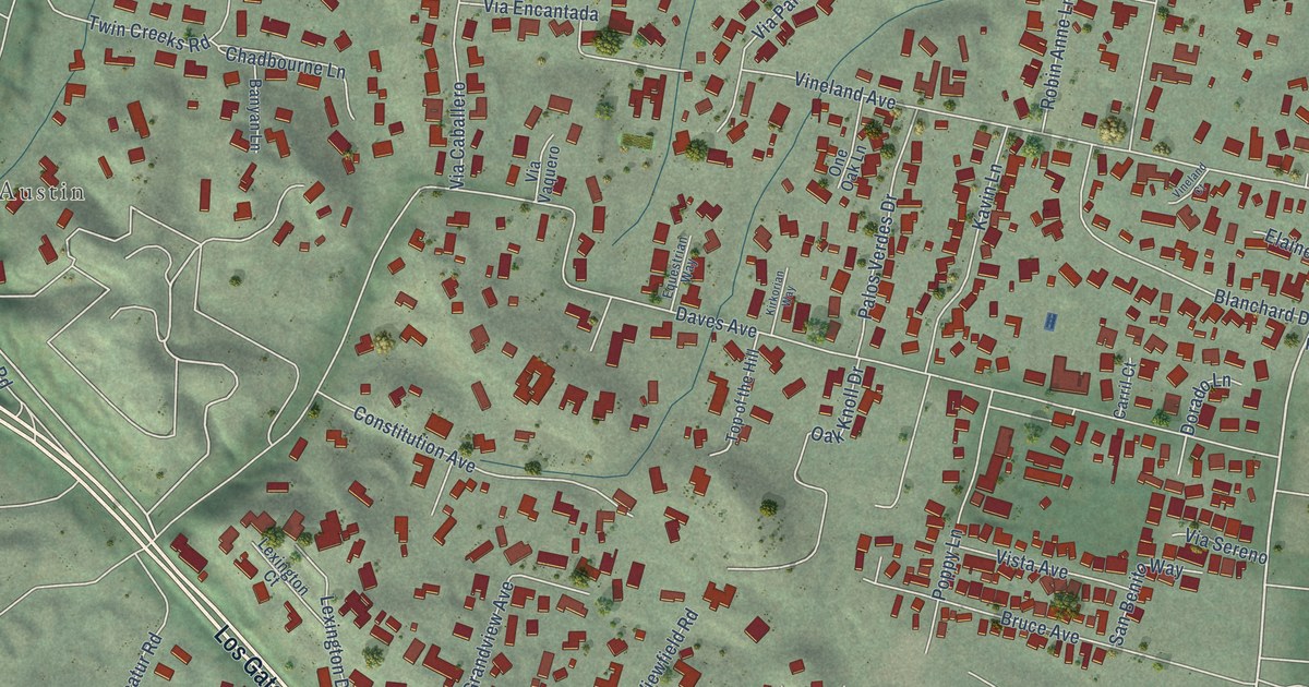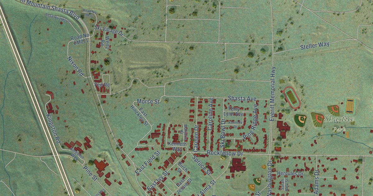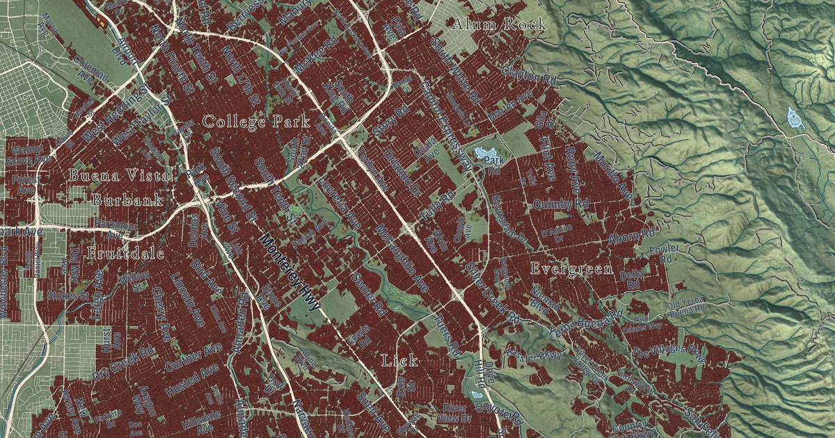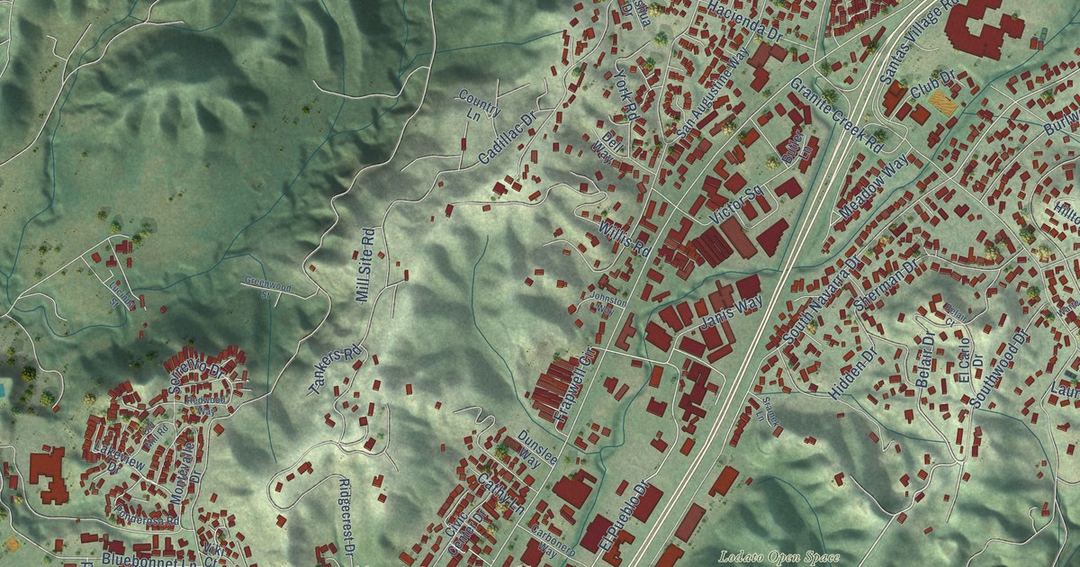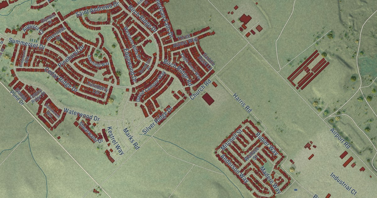
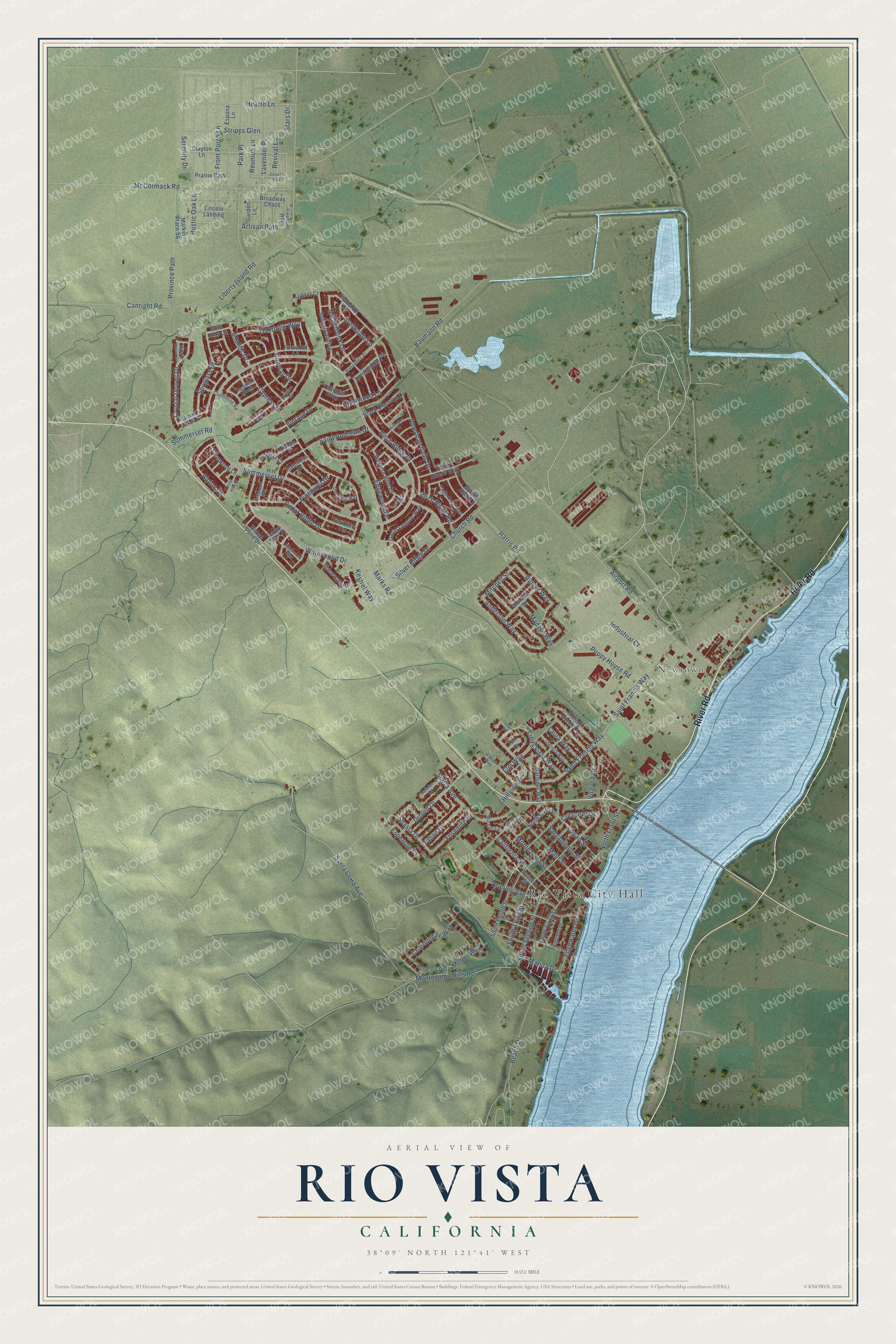
This beautifully detailed map of Rio Vista, California was created in 2026 using aerial imagery combined with modern topographical, census, street and landmark data. It's a modern aerial view of Rio Vista in Solano County, California, that combines modern data with a vintage aesthetic. The roads feature printed names, and if you look closely you can find your exact house accurately shown in its correct location.
Explore an aerial view of Rio Vista, California
On this map you'll find Rio Vista City Hall, Newtown, River Road, Crystal Downs Drive, Atlantic Drive, Summerset Drive, Anderson Way, Mitchell Street, Rustic Oak Lane, Stars Drive, Rubier Way, Park Place, and more. Each red shape is a building, so zoom in on the preview and look for yours.
Rio Vista has a story worth telling. The California Place Names puts it this way: "Rio Vista (river view), is in Solano County, on the Sacramento River."
Rio Vista is a city in Solano County. The Census Bureau counted 10,005 people here in 2020.
Take a closer look at the Rio Vista map
Names on this map
These names are printed on this map.
Places: Rio Vista City Hall and Newtown.
Streets and roads: River Road, Crystal Downs Drive, Atlantic Drive, Summerset Drive, Anderson Way, Mitchell Street, Rustic Oak Lane, Stars Drive, Rubier Way, Park Place, South Second Street, Conway Drive.
More street names, A to Z
Airport Road, Alpine Drive, American Falls Drive, Arlington Drive, Artisan Path, Augusta Court, Baumann Road, Beach Drive, Birch Ridge Drive, Birch Ridge Road, Black Diamond Drive, Bordeaux Way, Bridgeport Way, Broadway Chase, Brockton Place, Brookside Lane, Bruning Avenue, California Street, Canada Way, Canright Road, Cedar Ridge Drive, Center Street, Chardonnay Way, Church Road, Clayton Lane, Clubhouse Road, Colonial Way, Crescent Drive, Cypress Drive, David Lamore Way, Deerfield Way, Desert Forest Court, Diamante Drive, Drouin Drive, Eagle Crest Way, Edgewater Drive, Edgewood Drive, Elm Way, Espana Lane, Esperson Court, Falconcrest Way, Flores Way, Foxwood Lane, Freedom Way, Front Porch Lane, Garden Lane, Gardiner Way, Glenn Lakes Drive, Gold Hills Drive, Goose Pond Drive, Harris Road, Hearth Lane, Highland Drive, Hill Court, Hillside Terrace, Industrial Court, Inverness Drive, Kestrel Way, Laura Way, Lavender Place, Liberty Island Road, Lincoln Landing, Linda Vista Way, Livingston Place, Logan Street, Madere Way, Main Street, Marina Drive, Market Place Square, Marks Road, McCormack Road, Merlot Way, Michelbook Lane, Montezuma Hills Road, Montezuma Street, Morgan Lane, North Front Street, North Sixth Street, Oakridge Way, Olympic Drive, Osprey Ridge Drive, Palisades Drive, Paradise Pines, Pine Hills Drive, Pinehurst Drive, Poppy House Road, Prairie Path, Province Path, Rainier Court, Reunion Lane, Revival Lane, Riverwood Lane, Riviera Drive, Rolling Green Drive, Sacramento Street, Saddle Rock Lane, Saint Andrews Drive, Saint Francis Way, Santa Clara Avenue, Scott Street, Serenity Drive, Shasta Drive, Shearwater Drive, Sierra Avenue, Silver Ridge Drive, South Fourth Street, South Front Street, South Seventh Street, South Third Street, Spyglass Drive, Steelwood Lane, Stripes Glen, Summerset Road, Sunset Court, Sunset Landing, Tahoe Drive, Thereza Way, Three Rivers Way, Turnberry Terrace, Vintage Drive, Virginia Drive, Wallace Street, Waterwood Drive, Watson Hollow Drive, Western Hills Drive, Yosemite Drive.
Created by KNOWOL in 2026. The buildings are small red shapes, the roads carry their printed names, and shaded relief shows the shape of the land. The title panel reads "AERIAL VIEW OF RIO VISTA CALIFORNIA" with 38°09' NORTH 121°41' WEST.
It looks right in a kitchen, an office or a den, and it's a gift for anyone who grew up in Rio Vista or moved away. Open the preview and find your street. See sizes and frames for the Rio Vista map.