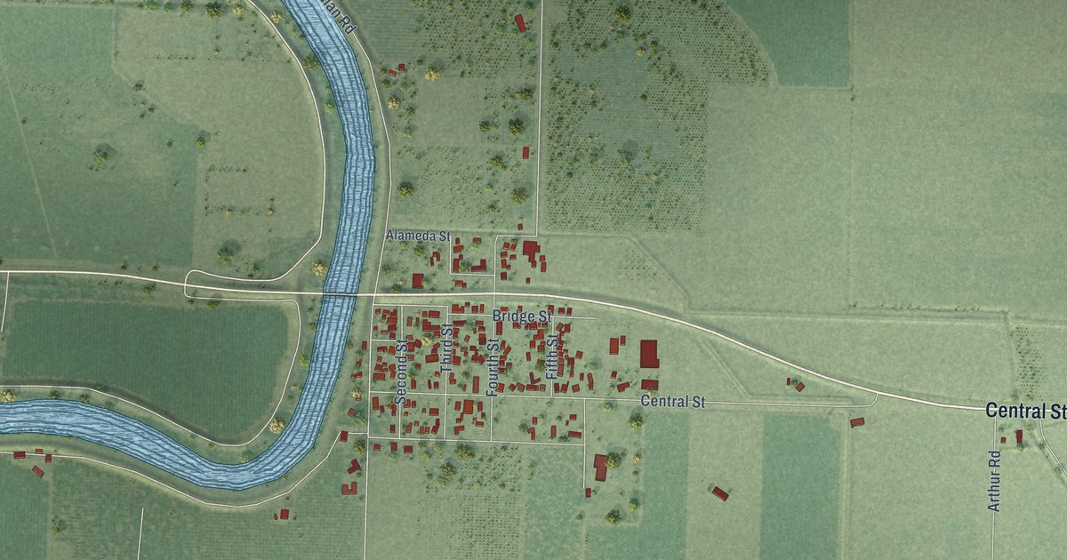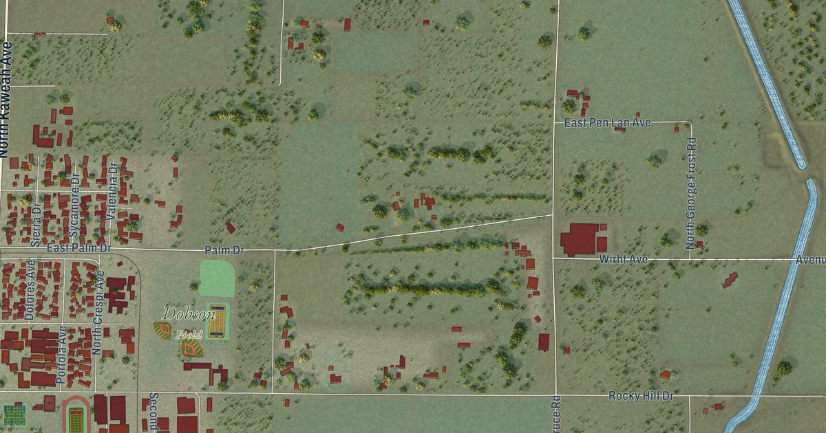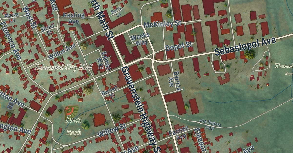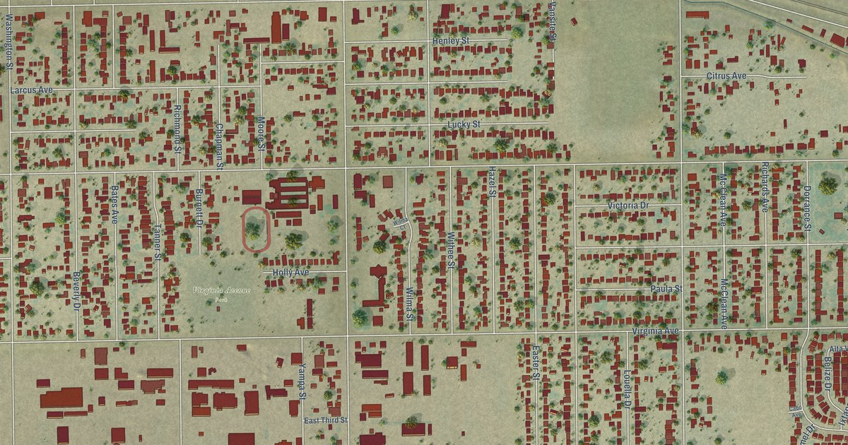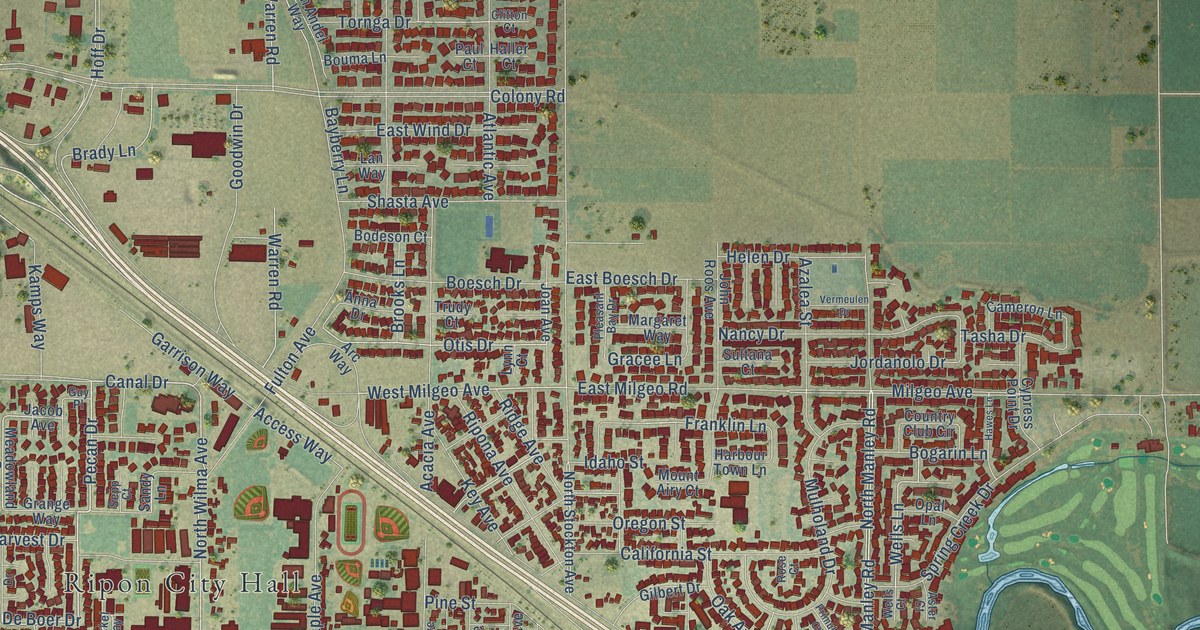
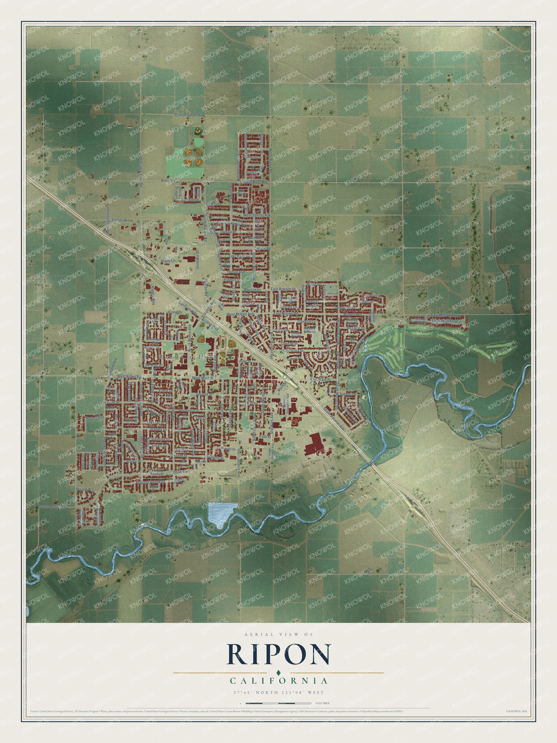
This beautifully detailed map of Ripon, California was created in 2026 using aerial imagery combined with modern topographical, census, street and landmark data. It’s a one-of-a-kind view of Ripon that combines accurate data with a vintage aesthetic. The map shows every building in its true location, many of the roads carry their names, and the shaded topographic relief shows the shape of the land.
Explore an aerial view of Ripon, California
On the map you’ll find Ripon City Hall and Mistlin Park, along with South Highland Avenue, South Jack Tone Road, Canal Drive, Pecan Drive, West Ripon Road, De Boer Drive, Second Street, South Manley Road, Fairway Oaks Drive, North Manley Road, and more. If you look closely you can even find your house accurately drawn in its correct location. Zoom in on the preview to look for yours.
Did you know this piece of Ripon, California history?
From the San Joaquin County History: "The first school was held in an old shack which had been used as a residence. The partitions were torn out and wooden desks and seats put in."
Take a closer look at the Ripon map
Street and place names on the Ripon, California map
These names are printed on the map of Ripon, California.
Places: Ripon City Hall and Mistlin Park.
Streets and roads: South Highland Avenue, South Jack Tone Road, Canal Drive, Pecan Drive, West Ripon Road, De Boer Drive, Second Street, South Manley Road, Fairway Oaks Drive, North Manley Road, Otis Drive, West Milgeo Avenue.
More street names, A to Z
Aartman Drive, Acacia Avenue, Access Way, Anna Drive, Arc Way, Ash Avenue, Aster Court, Atlantic Avenue, Audrey Lane, Augusta Pointe Court, Augusta Pointe Drive, Azalea Street, Bailey Drive, Baker Drive, Bayberry Lane, Blossom Drive, Bob Way, Bodeson Court, Boesch Drive, Bogarin Lane, Bouma Lane, Brady Lane, Brooks Lane, Cady Lane, Calhoun Avenue, California Street, Callaway Circle, Cameron Lane, Carla Court, Carl Lane, Carrara Lane, Cheryl Lane, Cindy Drive, Clifton Court, Clinton South Avenue, Colony Road, Cornerstone Drive, Country Club Circle, Country Woods Drive, Cypress Point Drive, Daniel Drive, Davis Street, Dedini Lane, Denise Drive, De Pedrini Drive, Dixie Lane, Doak Boulevard, Douma Way, East Boesch Drive, East Main Street, East Milgeo Avenue, East Milgeo Road, East Wind Drive, Elena Drive, Emily Lane, Fairway Oaks Court, Fifth Street, Fir Court, First Street, Flagstone Drive, Fourth Street, Franklin Lane, Fulton Avenue, Gabrielle Place, Garrison Way, Gilbert Drive, Goodwin Drive, Gracee Lane, Grange Way, Granite Way, Greenstone Way, Guy Place, Haller Court, Harbour Town Lane, Harvest Drive, Hawes Lane, Helen Drive, Highland Avenue, Hoff Drive, Idaho Street, Jack Tone Road, Jacob Avenue, Jennifer Street, Joan Avenue, Johanna Drive, John Kamps Way, John Kamp Way, John Roos Avenue, Jordanolo Drive, Judy Drive, Kamps Way, Kelcie Drive, Key Avenue, Kingery Drive, Kristen Way, Lannis Court, Lan Way, Laurelwood Lane, Linda Avenue, Lynn Court, Madsen Drive, Main Street, Manley Road, Maple Avenue, Marble Lane, Margaret Way, Mary Jo Way, McVeigh Way, Meadowland Drive, Meyenberg Avenue, Milgeo Avenue, Miriam Way, Mount Airy Court, Mulholand Drive, Nancy Drive, Nikkel Way, North Acacia Avenue, North Elm Avenue, North Highland Avenue, North Jack Tone Road, North Locust Avenue, North Ripon Road, North Stockton Avenue, North Wilma Avenue, Novell Drive, Oak Avenue, Opal Lane, Orange Avenue, Oregon Street, Palm Avenue, Paul Court, Pine Street, Pleasant Bay Drive, Primula Court, Ridge Avenue, Ripona Avenue, River Road, Riverview Circle, Riverview Circle East, Riverview Circle West, Robert Avenue, Rose Court, Roxie Drive, Ruess Road, Ruth Drive, Sandy Lane, Santos Avenue, Sea Cove Drive, Sepp Court, Seventh Street, Shasta Avenue, Shellstone Way, Sixth Street, Smit Court, South Acacia Avenue, South Elm Avenue, South Industrial Avenue, South Locust Avenue, South Mohler Road, South Parallel Avenue, South Roxie Drive, South Stockton Avenue, South Walnut Avenue, South Warren Road, South Wilma Avenue, Spring Creek Drive, Stanley Drive, Stockton Avenue, Stuart Street, Suffolk Way, Sultana Court, Sun Valley Court, Tasha Drive, Terry Drive, Third Street, Tornell Circle, Tornell Drive, Tornga Drive, Travaille Way, Trudy Court, Van Andel Way, Van Court, Van Dyken Way, Vera Avenue, Vermeulen Drive, Viggo Place, Warren Road, Wells Court, Wells Lane, West Fourth Street, West Main Street, West River Road, West Santos Avenue, Zumstein Drive.
See the Ripon, California map on a wall
The Ripon map as an 18 x 24 inch print in a black frame.

This beautifully detailed map of Ripon makes an attractive addition to your office, library, or den, and it can even be used to teach children the geography and history of the area. It also makes a great gift for anyone with Ripon roots. When you’re done exploring, click here to get your copy of the Ripon map.