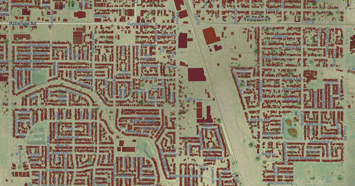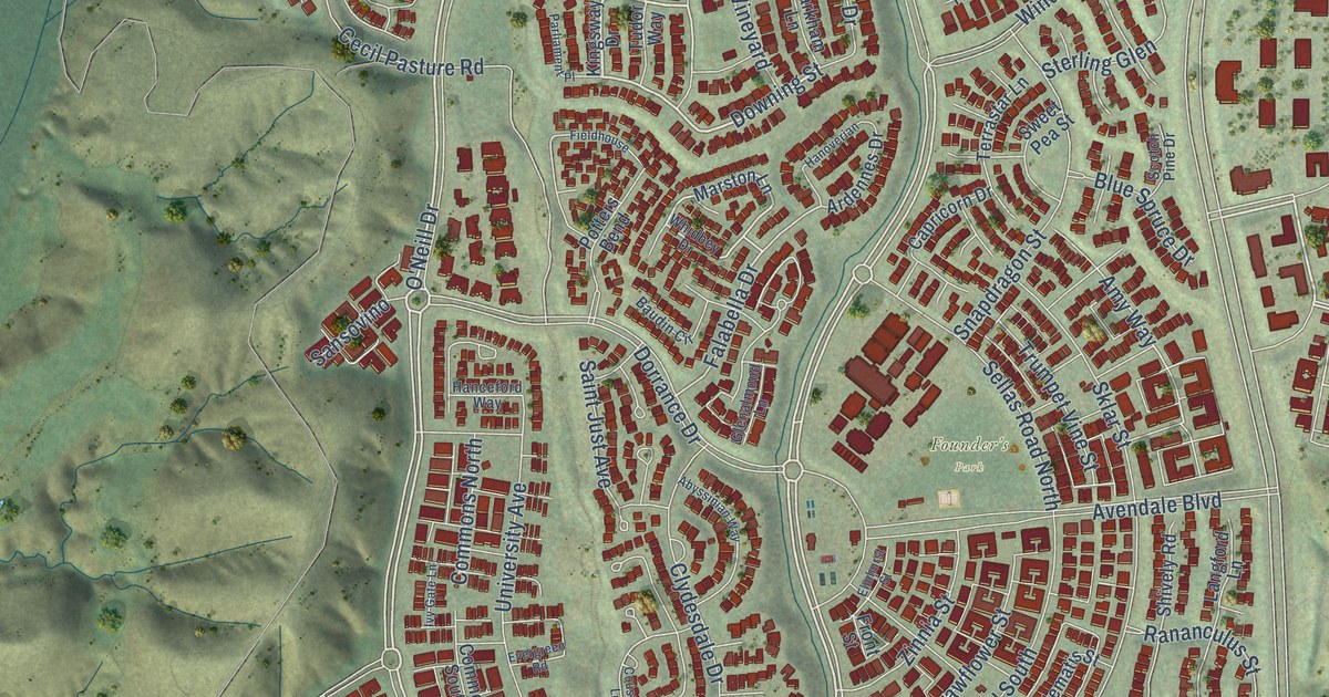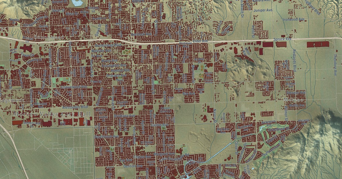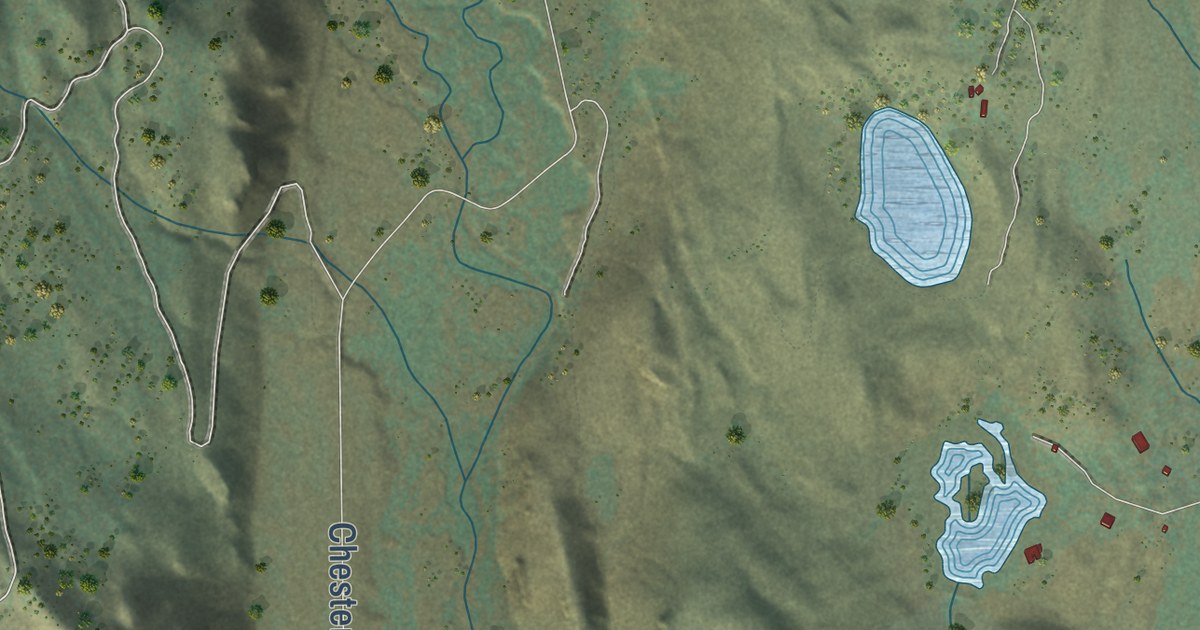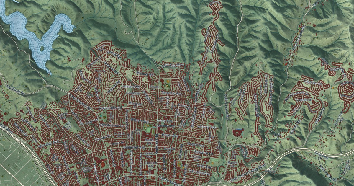
This beautifully detailed map of Castro Valley, California was created in 2026 using aerial imagery combined with modern topographical, census, street and landmark data. It’s a one-of-a-kind view of Castro Valley that combines accurate data with a vintage aesthetic. The map shows every building in its true location, many of the roads carry their names, and the shaded topographic relief shows the shape of the land.
Explore an aerial view of Castro Valley, California
On the map you’ll find Foothill Boulevard, Lake Chabot Road, Castro Valley Boulevard, Redwood Road, Fairmont Drive, East Castro Valley Boulevard, Stanton Avenue, Norbridge Avenue, Orange Avenue, Crow Canyon Road, Crest Avenue, Miramar Avenue, and more. If you look closely you can even find your house accurately drawn in its correct location. Zoom in on the preview to look for yours.
Did you know this piece of Castro Valley, California history?
From the Eden Area Chamber of Commerce: "Castro Valley is named after Don Guillermo Castro, a soldier in the Mexican army and a rancher."
Take a closer look at the Castro Valley map
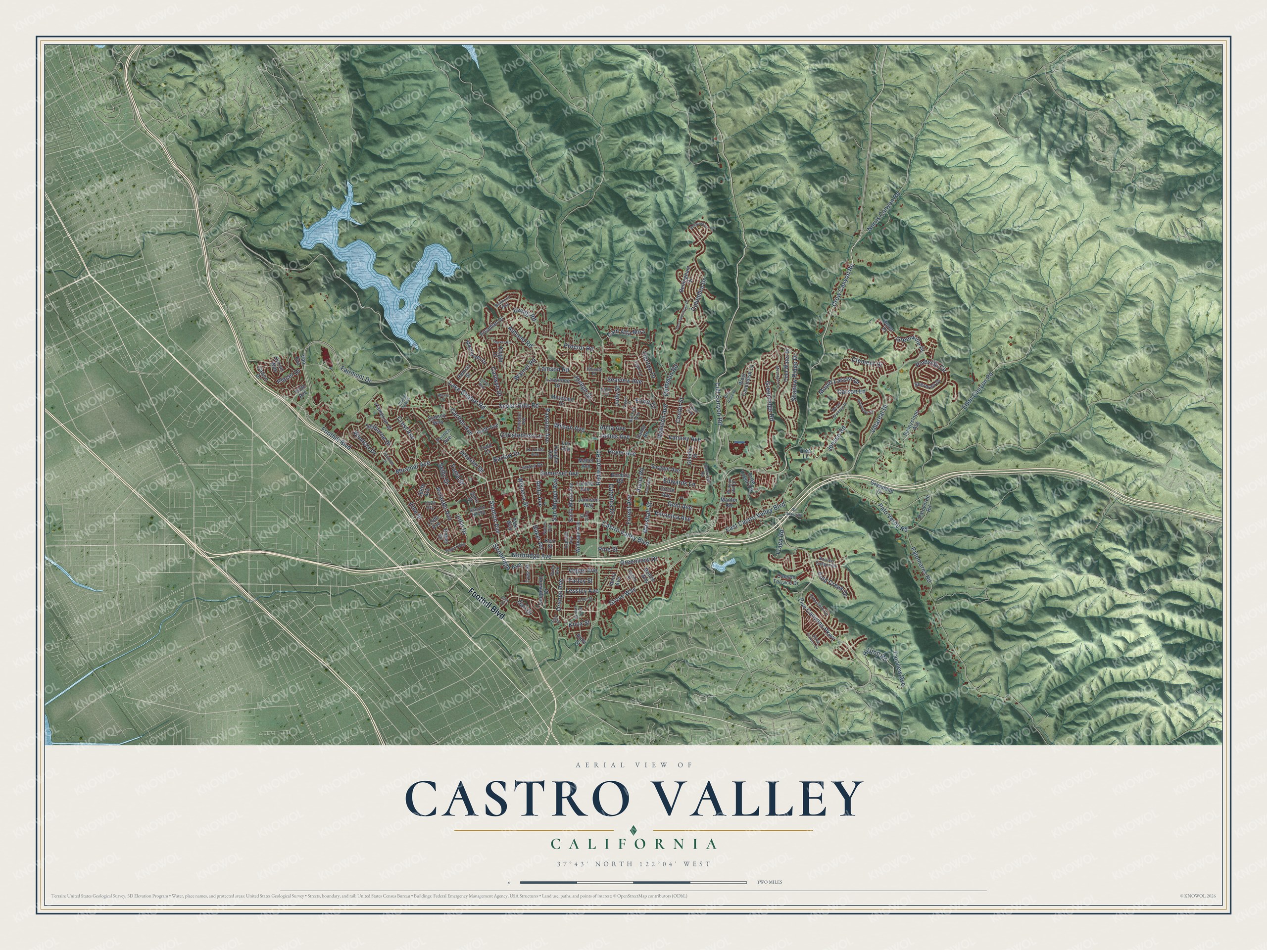
Street names on the Castro Valley, California map
These names are printed on the map of Castro Valley, California.
Streets and roads: Foothill Boulevard, Lake Chabot Road, Castro Valley Boulevard, Redwood Road, Fairmont Drive, East Castro Valley Boulevard, Stanton Avenue, Norbridge Avenue, Orange Avenue, Crow Canyon Road, Crest Avenue, Miramar Avenue.
More street names, A to Z
150th Avenue, 166th Avenue, 167th Avenue, 170th Avenue, Alana Road, Alexis Place, Alma Avenue, Almond Road, Anita Avenue, Arcadian Drive, Ashfield Avenue, Baker Road, Barlow Drive, Beacon Hill Drive, Bellhurst Lane, Bellingham Drive, Belmont Way, Berdina Road, Betlen Way, Boulder Canyon Drive, Briar Ridge Drive, Brickell Way, Buren Place, Cam Alta Mira, Cambrian Drive, Canyon Terrace Drive, Carlton Avenue, Carlwyn Drive, Carson Lane, Catalina Drive, Center Street, Chabot View Drive, Christensen Lane, Circle Avenue, Clement Drive, Clifton Way, Cold Water Drive, Columbia Drive, Common Road, Crane Avenue, Crestfield Circle, Crow Creek Road, Cull Canyon Road, Darius Way, Earl Drive, Eden Canyon Road, Edwards Lane, Ehle Street, Elrod Drive, Emily Court, Ewing Road, Fairview Avenue, Farley Street, Fern Way, Five Canyons Parkway, Forest Avenue, Fraga Road, Gail Drive, Gary Drive, Gem Avenue, Glenwood Drive, Gliddon Street, Gold Creek Drive, Grassland Drive, Greenridge Road, Greenview Drive, Greenville Place, Grove Way, Heyer Avenue, Hillside Drive, Hilltop Road, Idena Avenue, James Avenue, Jamison Way, Jeffer Street, Jennifer Drive, Jensen Road, John Drive, Joseph Drive, Judy Street, Keith Avenue, Kerr Street, Knight Drive, Knox Street, La Costa Avenue, Lamson Road, Lawrence Drive, Lenard Drive, Lessley Avenue, Lorena Avenue, Lux Avenue, Mabel Avenue, Madison Avenue, Manter Road, Marshall Street, Mayflower Drive, Moreland Drive, Mountain Lane, Mount Lassen Drive, Mount Olympus Drive, Norris Canyon Road, North Fifth Street, Nunes Avenue, Old Dublin Road, Palomares Road, Palo Verde Road, Paloverde Road, Parker Road, Parkview Road, Park Way, Parsons Avenue, Patio Drive, Pepper Street, Perrich Avenue, Pine Street, Pineville Circle, Placer Drive, Proctor Road, Queen Street, Regent Way, Remco Street, Rizzo Avenue, Robey Drive, Rolando Avenue, Ruby Street, Sandy Road, San Franciscan Drive, San Miguel Avenue, Santa Maria Avenue, Saratoga Street, Sargent Avenue, Saturn Drive, Schuster Avenue, Seaview Avenue, Selborne Drive, Selby Drive, Seven Hills Road, Shadow Ridge Drive, Sherman Drive, Somerset Avenue, Stanton Hill Road, Stone Canyon Drive, Strobridge Avenue, Sunnyslope Avenue, Sydney Way, Tanglewood Drive, Todd Court, Tree Lane, Trenton Drive, Tyee Street, Tyler Lane, Van Avenue, Vannoy Avenue, Vaughn Avenue, Vegas Avenue, Veronica Avenue, Villareal Drive, Walnut Road, West Cavendish Drive, Wilbeam Avenue, Wilson Avenue, Windsor Drive, Wisteria Street, Yuma Street, Zeno Street.
See the Castro Valley, California map on a wall
The Castro Valley map as an 18 x 24 inch print in a black frame.

This beautifully detailed map of Castro Valley makes an attractive addition to your office, library, or den, and it can even be used to teach children the geography and history of the area. It also makes a great gift for anyone who grew up in Castro Valley or moved away. When you’re done exploring, click here to get your copy of the Castro Valley map.