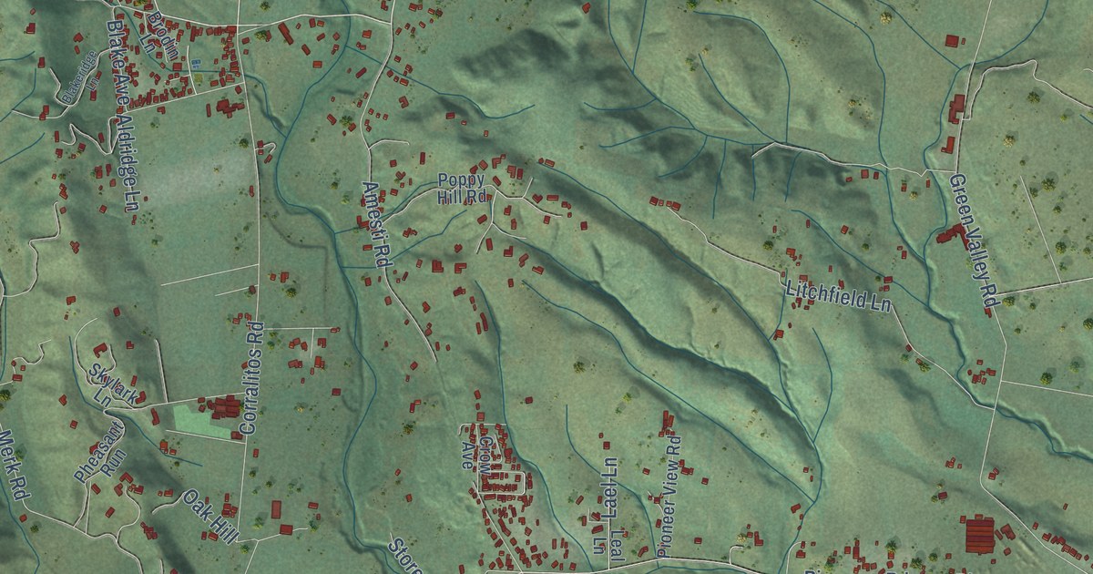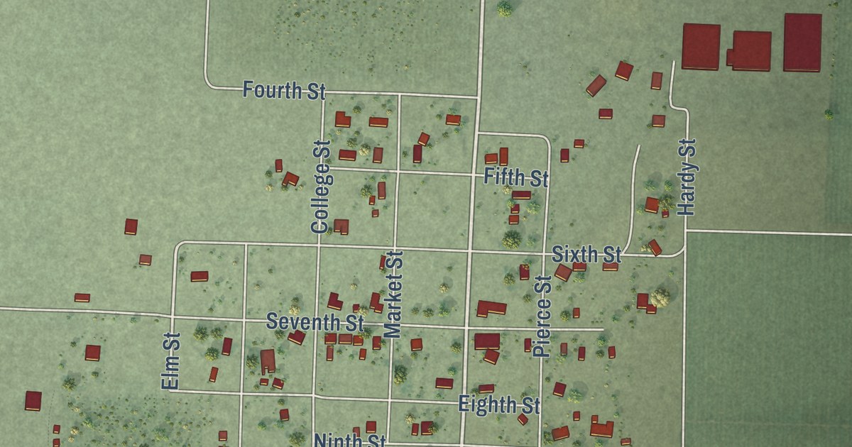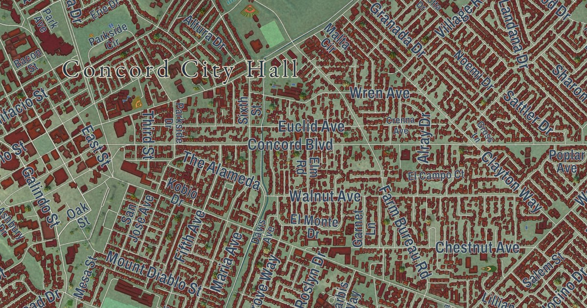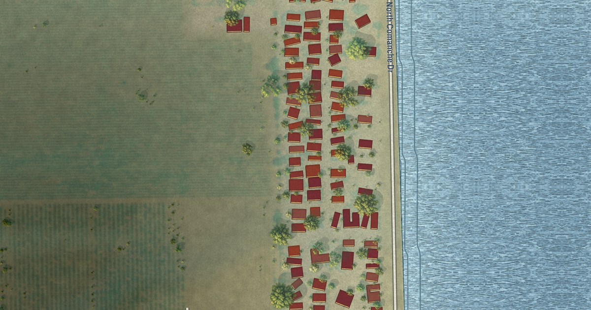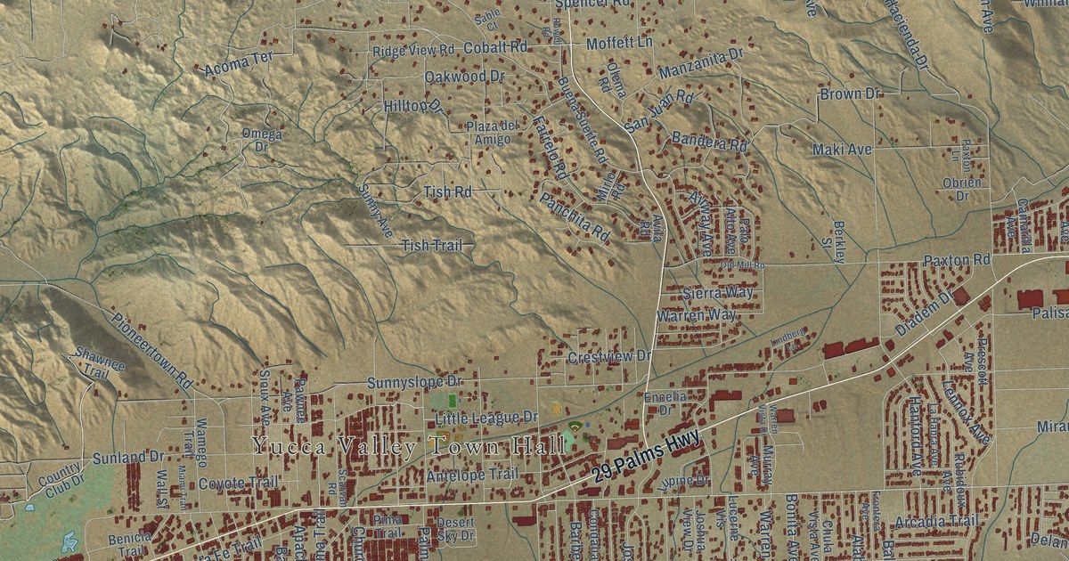
This beautifully detailed map of Yucca Valley, California was created in 2026 using aerial imagery combined with modern topographical, census, street and landmark data. It’s a one-of-a-kind view of Yucca Valley that combines accurate data with a vintage aesthetic. The map shows every building in its true location, many of the roads carry their names, and the shaded topographic relief shows the shape of the land.
Explore an aerial view of Yucca Valley, California
On the map you’ll find Yucca Valley Town Hall and Mojave Desert Land Trust, along with 29 Palms Highway, Old Woman Springs Road, Golden Bee Drive, Tish Trail, Acoma Trail, Acoma Terrace, Martinez Trail, Skyline Ranch Road, Ridge Road, Yucca Trail, and more. If you look closely you can even find your house accurately drawn in its correct location. Zoom in on the preview to look for yours.
Did you know this piece of Yucca Valley, California history?
From the Historical Marker Database: "Yucca Valley did not have a post office until 1945. Mail used to be delivered as far as Whitewater and then volunteers would take it up to Warren's Well for distribution."
Take a closer look at the Yucca Valley map
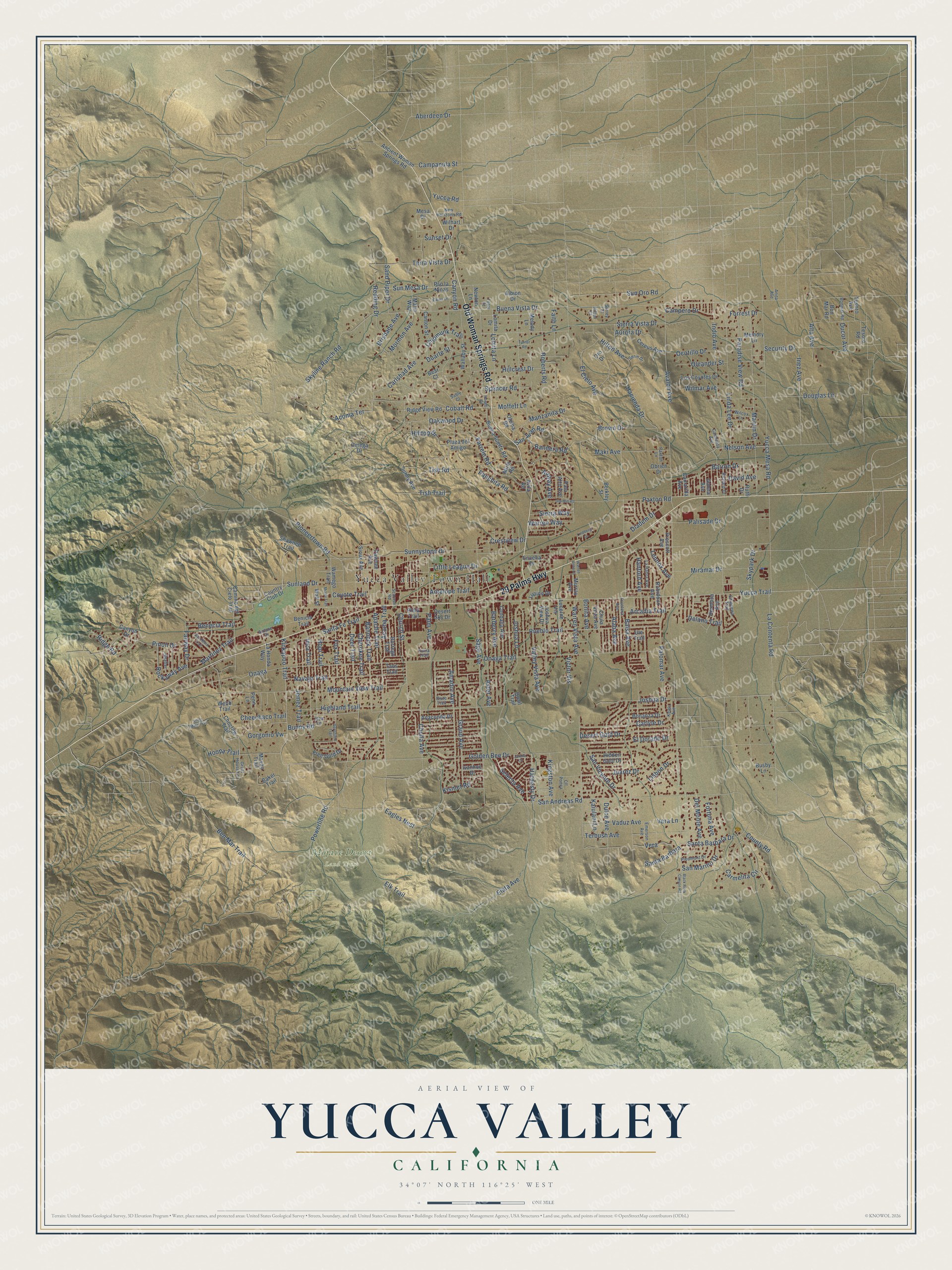
Street and place names on the Yucca Valley, California map
These names are printed on the map of Yucca Valley, California.
Places: Yucca Valley Town Hall and Mojave Desert Land Trust.
Streets and roads: 29 Palms Highway, Old Woman Springs Road, Golden Bee Drive, Tish Trail, Acoma Trail, Acoma Terrace, Martinez Trail, Skyline Ranch Road, Ridge Road, Yucca Trail, Kickapoo Trail, Inca Trail.
More street names, A to Z
Aberdeen Drive, Airlane Drive, Airway Avenue, Alaba Avenue, Albion Drive, Alta Avenue, Amador Avenue, Anaconda Drive, Ancient Woman Springs Road, Anita Avenue, Antelope Trail, Apache Trail, Arcadia Trail, Aster Avenue, Aurora Drive, Avalon Avenue, Avila Road, Baker Trail, Balsa Avenue, Bandera Road, Bannock Trail, Barberry Avenue, Barron Drive, Bear Court, Benecia Trail, Benicia Trail, Ben Mar Trail, Berkley Street, Black Rock Canyon Road, Bonanza Drive, Bonita Avenue, Bon Mar Road, Bonmar Road, Borrego Trail, Brisbane Avenue, Brown Drive, Buena Suerte Road, Buena Vista Drive, Bunny Road, Busby Lane, Camarilla Avenue, Camino del Cielo Trail, Campanula Street, Campero Drive, Canton Street, Canyon Drive, Canyon Road, Carlsbad Avenue, Carlyle Drive, Carmelita Avenue, Carmelita Circle, Cereus Avenue, Cheechaco Trail, Cherokee Trail, Chipmunk Trail, Chippewa Trail, Choctaw Trail, Cholla Avenue, Chula Vista Avenue, Church Street, Cll Ponca, Cobalt Road, Condalia Avenue, Country Club Drive, County Road, Coyote Trail, Crestview Drive, David Avenue, Deer Trail, Delano Trail, Del Monte Avenue, Desert Gold Drive, Desert Sky Drive, Diadem Drive, Douglas Lane, Duarte Street, Ducor Avenue, Dulce Avenue, Eagles Nest, Elata Avenue, El Cielo Avenue, El Dorado Drive, Elkins Lane, Elk Trail, Emerson Avenue, Encelia Drive, Fairway Drive, Faith Lane, Farrelo Road, Forrest Drive, Fortuna Avenue, Fox Trail, Free Gold Drive, Frontera Avenue, Geronimo Trail, Goleta Avenue, Gorgonio Vw, Grand Avenue, Great House Lane, Hacienda Drive, Hanford Avenue, Hardesty Drive, Hermosa Avenue, Hidden Gold Drive, Highland Trail, Hillcrest Drive, Hilltop Drive, Hilton Avenue, Hilton Court, Hoopa Trail, Hopi Trail, Indio Avenue, Inez Avenue, Iona Lane, Ivanhoe Drive, Jarana Court, Jemez Trail, Joshua Drive, Joshua Lane, Joshua View Drive, Juarez Drive, Kaiulani Lane, Keats Avenue, Kingston Avenue, Kismet Road, La Contenta Road, La Habra Avenue, La Honda Way, Lennox Avenue, Linda Lee Drive, Lindberg Lane, Lisbon Drive, Little League Drive, Lomita Drive, Lomita Lane, Los Coyotes Drive, Lucerne Vis, Lupine Drive, Maki Avenue, Malin Way, Manzanita Drive, Marvin Drive, Mayan Trail, Melody Lane, Memory Lane, Mesa Drive, Miami Trail, Miramar Drive, Mirlo Road, Moffett Lane, Mormon Avenue, Mountain View Trail, Murray Avenue, Navajo Trail, Nelson Avenue, New Horizons Road, Newton Lane, Oakwood Drive, Obrien Drive, Ocotillo Drive, Old Mill Road, Oleander Street, Olema Road, Omega Drive, Onaga, Onaga Trail, Oro Drive, Palisade Drive, Palm Avenue, Palo Alto Avenue, Palomar Avenue, Panchita Road, Paradise View Road, Pawnee Avenue, Paxton Lane, Paxton Road, Penn Lane, Piedmont Drive, Pima Trail, Pinon Drive, Pioneertown Road, Piute Trail, Plaza del Amigo, Powerline Road, Prescott Avenue, Pso la Ninas, Pueblo Trail, Quail Trail, Redding Drive, Richard Drive, Ridge View Road, Roberts Road, Rockaway Avenue, Rowell Road, Rubidoux Avenue, Ruth Drive, Sable Court, Sage Avenue, San Andreas Road, Sand Piper Drive, San Juan Road, San Marino Drive, San Remo Trail, Santa Barbara, Santa Barbara Drive, Santa Fe Trail, San Vicente Drive, Scarvan Road, Security Drive, Selecta Avenue, Serin Drive, Shafter, Shawnee Trail, Sierra Vista Drive, Sierra Way, Silver Mine Trail, Sioux Avenue, Skypark Drive, Spencer Road, Sunland Drive, Sun Mesa Drive, Sunny Avenue, Sunnyslope Drive, Sun Oro Road, Sunset Drive, Surrey Court, Taos Trail, Terbush Avenue, Terra Vista Drive, Terry Court, Tesoro Avenue, Tesoro Road, Tish Road, Turner Road, Ute Trail, Vaduz Avenue, Valley Vista Avenue, Vera, Vera Lane, Victor Vis, Wallaby Street, Wall Street, Wamego Trail, Warren Vista Avenue, Warren Vista Drive, Warren Way, Webb Trail, Wilcox Lane, Wilhart Drive, Wilmar Avenue, Yucca Mesa Road, Yucca Road, Yuma Trail.
See the Yucca Valley, California map on a wall
The Yucca Valley map as an 18 x 24 inch print in a black frame.

This beautifully detailed map of Yucca Valley makes an attractive addition to your office, library, or den, and it can even be used to teach children the geography and history of the area. It also makes a great gift for anyone who grew up in Yucca Valley or moved away. When you’re done exploring, click here to get your copy of the Yucca Valley map.