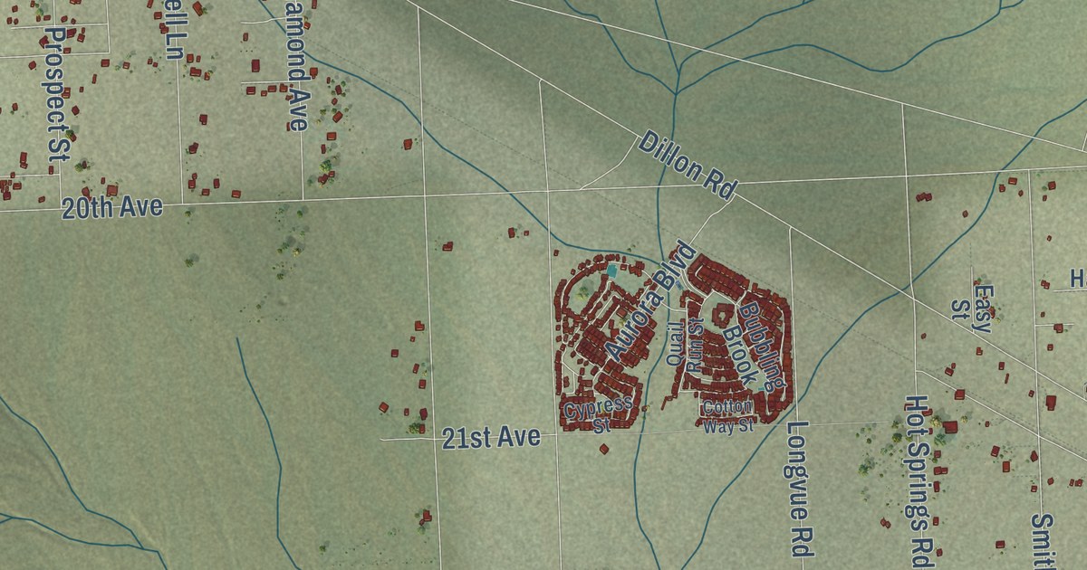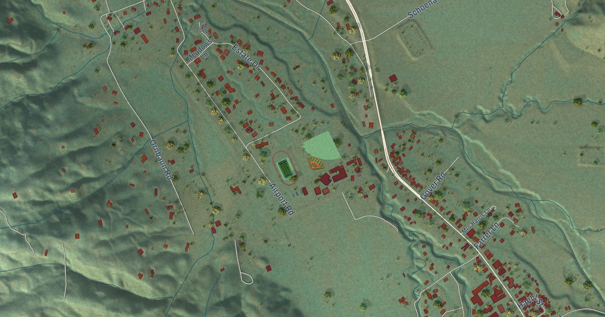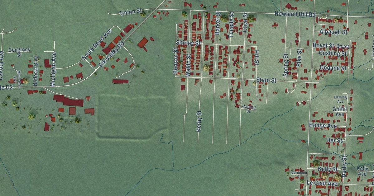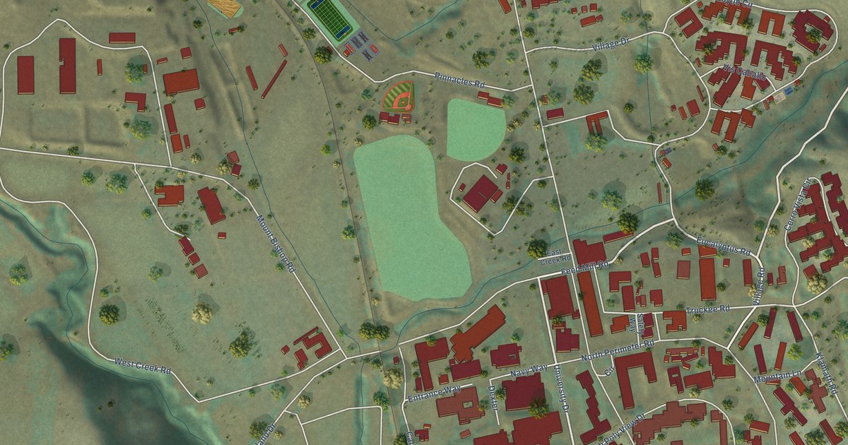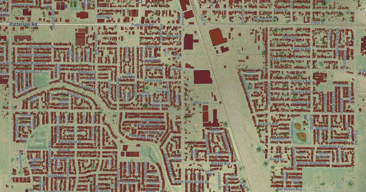
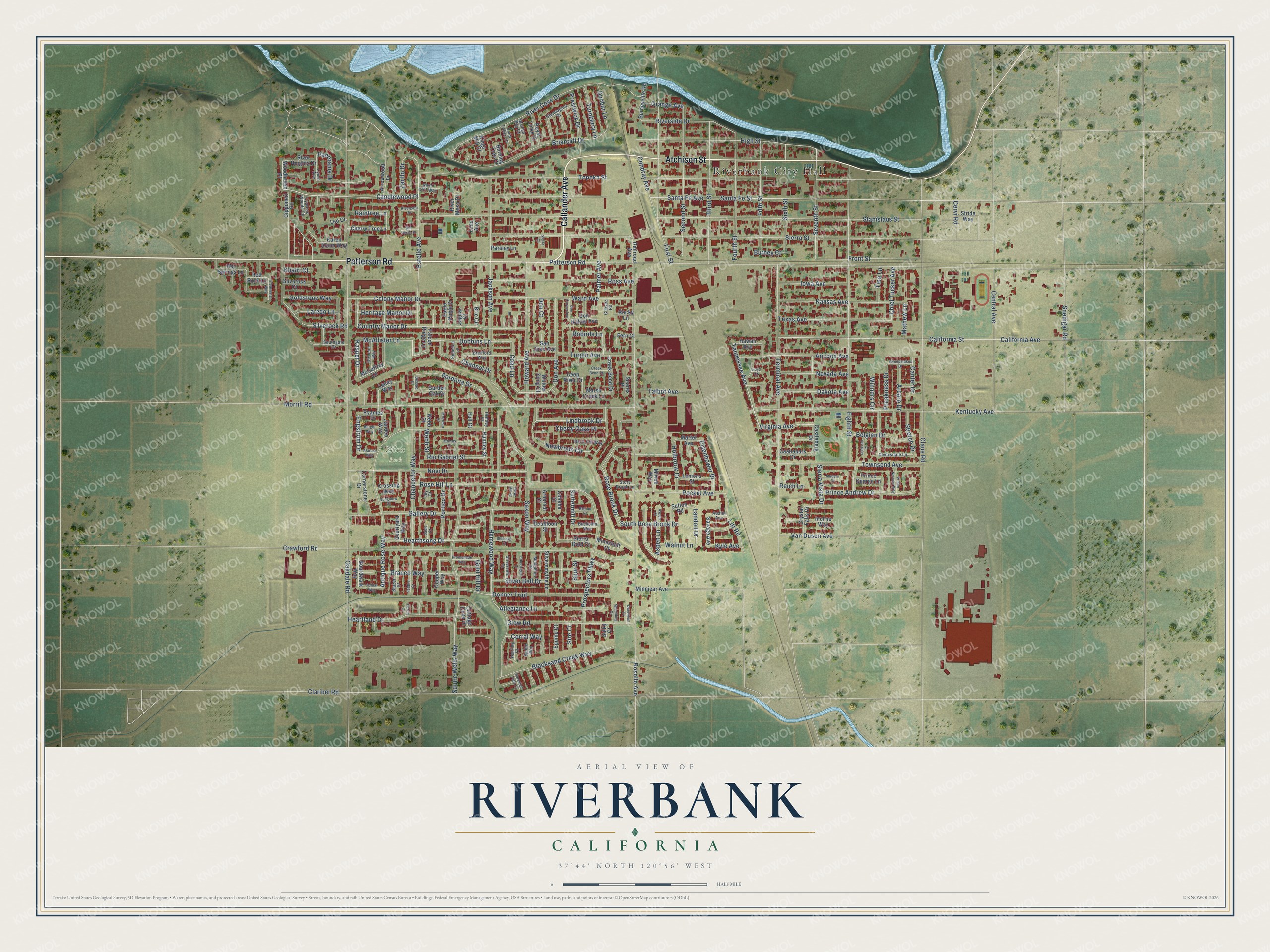
This beautifully detailed map of Riverbank, California was created in 2026 using aerial imagery combined with modern topographical, census, street and landmark data. It’s a one-of-a-kind view of Riverbank that combines accurate data with a vintage aesthetic. The map shows every building in its true location, many of the roads carry their names, and the shaded topographic relief shows the shape of the land.
Explore an aerial view of Riverbank, California
On the map you’ll find Riverbank City Hall, Silva Park, and Candlewood Place, along with Patterson Road, Callander Avenue, Atchison Street, Tennessee Avenue, Hearthsong Drive, Rio Gabriel Street, Webb Street, Estelle Avenue, Landon Drive, and more. If you look closely you can even find your house accurately drawn in its correct location. Zoom in on the preview to look for yours.
Did you know this piece of Riverbank, California history?
From the 1921 History of Stanislaus County, California: "About 1895 the San Francisco & San Joaquin Valley Railroad was built through what is now Riverbank and the station by that name established."
Take a closer look at the Riverbank map
Street and place names on the Riverbank, California map
These names are printed on the map of Riverbank, California.
Places: Riverbank City Hall and Silva Park.
Streets and roads: Patterson Road, Callander Avenue, Atchison Street, Tennessee Avenue, Hearthsong Drive, Rio Gabriel Street, Webb Street, Estelle Avenue, Candlewood Place, Landon Drive, McAllister Lane, Engstrom Drive.
More street names, A to Z
Alarose Way, Allegiance Lane, Antique Rose Way, Arcaro Drive, Arizona Avenue, Arnerich Court, Arrowwood Drive, Ashlar Way, Aspen Court, Aspen Lane, Austin Avenue, Barger Way, Belgian Drive, Bessac Drive, Blacksand Creek Way, Blazer Court, Blessing Court, Boardwalk Way, Bordona Drive, Bracco Way, Bradford Way, Briarcliff Drive, Brie Circle, Browns Court, Buck Hill Way, Buckskin Way, Bullion Court, Bungalow Court, Burney Court, Burneyville Road, Burning Tree Court, California Avenue, California Street, Canter Drive, Castleberg Drive, Castlepark Drive, Central Avenue, Cervi Road, Chancellor Way, Channel Drive, Chavez Road, Cherry Oaks Place, Cherry Tree Lane, Chief Tucker Avenue, Cipponeri Road, Claribel Road, Claus Road, Clearwater Way, Clydesdale Lane, Coad Lane, Coloma Court, Colony Manor Drive, Condray Avenue, Cooper Way, Cornerstone Drive, Corral Way, Cottage Cove Drive, Country Manor Drive, Courtyard Way, Crawford Road, Creek Bend Court, Creek Bend Drive, Crossing Way, Crystal Falls Drive, Cypress Woods Circle, Dakota Avenue, Darpinian Court, Deep River Drive, De Leon Way, Dobbins Lane, Don Avenue, Don Carlos Avenue, Don Court, Donner Trail, Don Rafael Avenue, Doubloon Street, Dunbar Lane, Eagle Ridge Drive, Eighth Street, Eisenhower Drive, Equine Court, Etherington Court, Falcon Ridge Lane, Feather Court, Fern Court, Fifth Street, First Street, Fourth Street, Front Street, Gable Court, Gallery Drive, Garden Oak Drive, Gleneagles Drive, Glow Road, Gold Hill Drive, Goldstone Way, Hawaii Avenue, Heartland Drive, Heritage Manor Drive, High Street, Holbrook Drive, Homewood Way, Horsetail Falls Court, Hot Springs Lane, Howard Avenue, Hull Court, Huntley Court, Huntley Street, Incline Way, Iowa Avenue, Jackson Avenue, Jaguar Court, Jandee Way, Kansas Avenue, Karen Alane Way, Kasper Drive, Kentucky Avenue, Khatri Court, Kings Mill Court, Kyle Avenue, Lane Avenue, Laredo Lane, Lemons Street, Lenay Way, Leo Court, Lily Court, Lindbrook Drive, Lipizzan Court, Litt Road, Lloyd Court, Lynch Avenue, Madera Court, Marsh Creek Lane, Martel Avenue, Mathew Lane, McArthur Court, McCaffrey Lane, Medallion Court, Mineshaft Court, Minniear Avenue, Miwok Way, Morrill Road, Nevada Avenue, Newbrook Circle, Novi Drive, Oakdale Road, Orange Avenue, Palmer Avenue, Panorama Drive, Parsley Lane, Perrin Court, Pocket Avenue, Portico Drive, Preakness Drive, Prestwick Drive, Prince Andrew Drive, Prince George Lane, Prince Norman Way, Promenade Way, Prospectors Parkway, Railroad Avenue, Raintree Lane, Rebecca Lane, Red Rock Lane, Reich Lane, Rio Verde Drive, River Cliff Way, River Cove Drive, Rivergate Drive, River Heights Drive, River Mesa Drive, Riverside Drive, Robirds Lane, Rocky Lane, Rose Brook Drive, Rose Hill Court, Rose Hill Lane, Roselle Avenue, Ross Avenue, Royal Links Drive, Ryanlee Drive, Saint Lakes Court, San Juan Avenue, Santa Fe Avenue, Santa Fe Street, Savage Avenue, Saxon Way, Second Street, Seventh Street, Sierra Court, Sierra Gold Court, Sierra Street, Sierra Vista Drive, Silver Bell Drive, Silverock Court, Silverock Road, Silversmythe Lane, Silvervale Court, Sire Court, Sixth Street, Snedigar Road, Soares Place, Southgate Drive, South Rose Brook Drive, Spanish Bay Court, Spaulding Court, Spur Street, Squire Wells Way, Stable Way, Stanislaus Street, Story Brook Lane, Stretch Drive, Stride Way, Sulky Court, Suttermill Drive, Sutton Road, Sweepstakes Drive, Talbot Avenue, Terminal Avenue, Texas Avenue, Third Street, Tina Lane, Topeka Street, Townsend Avenue, Turnberry Lane, Turpin Avenue, Van Dusen Avenue, Virginia Avenue, Walnut Lane, Ward Avenue, Webb Court, Willow Song Court, Winners Circle, Woodhaven Place, Yearling Court, Zerillo Drive.
See the Riverbank, California map on a wall
The Riverbank map as an 18 x 24 inch print in a black frame.

This beautifully detailed map of Riverbank makes an attractive addition to your office, library, or den, and it can even be used to teach children the geography and history of the area. It also makes a great gift for someone who left Riverbank and still calls it home. When you’re done exploring, click here to get your copy of the Riverbank map.